Wikimedi'Òc
Modes d'emploi

Cet album fait partie des albums
Cet album photos contient les sous-albums suivants :


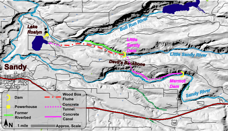
Bull Run Hydroelectric Project.png - Duk

Rivchic map.png - Adqproductions

Skagit River power sources map, circa 1967.jpg - File Upload Bot (Magnus Manske)

Wood River (Oregon), drainage basin map.png - File Upload Bot (Magnus Manske)

MercedRiver.jpg - MGA73bot2

Glenview Creek Hand-Drawn Map v3.jpg - Ronhjones
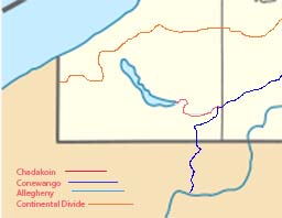
Chadkoin River.jpg - Dhpage

Mapa Cuatitlán.png - Momis333
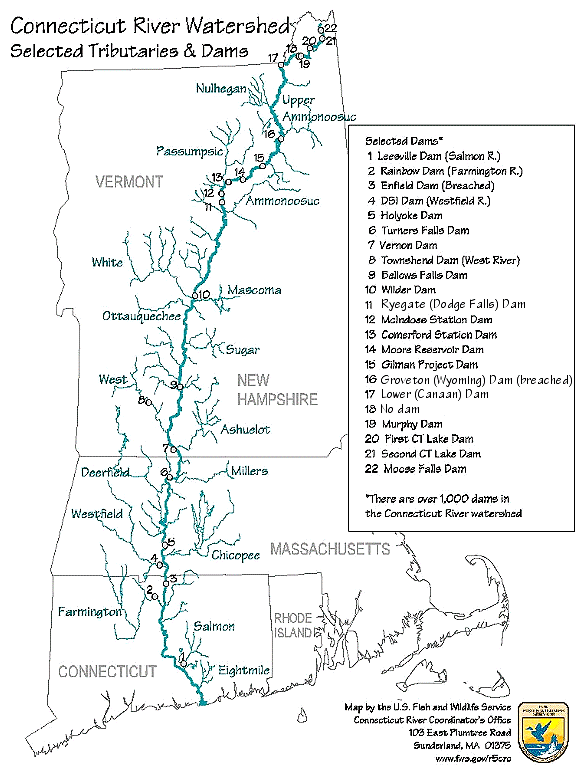
Connecticut River Map.png - Lojwe

TohickonCreek.jpg - Munion

RiversOfAlaska.png - AWWE83

89 of 'Map Modeling in Geography, including the use of sand, clay, putty, paper pulp, plaster of Paris ... Also Chalk Modeling in its adaptation to purposes of illustration. Fully illustrated' (11233699404).jpg - Artix Kreiger 2

A Satellite View of River Width (SVS30626).png - OptimusPrimeBot
A Satellite View of River Width (SVS30626).pdf - OptimusPrimeBot