Wikimedi'Òc
Modes d'emploi

Cet album fait partie des albums
Cet album photos contient les sous-albums suivants :


Map of major fishing grounds near Taiwan.jpg - Dquai

Hessel Gerritsz, Map of Sumatra showing Pedra Branca (1620).jpg - Jacklee

John-Speed-The-Kingdome-of-China-1626-2544.jpg - Vmenkov

Egnazio Danti - Molucca islands and part of the Philippines - Google Art Project.jpg - DcoetzeeBot

民國36年南海諸島位置圖.jpg - 李老爺

1683 Map of Formosa (Taiwan) and Surrounding Countries by Dutch 荷蘭人所繪福爾摩沙臺灣與周邊國家.jpg - Wildcursive

SeldenMap1624.jpg - Doãn Hiệu

1680 Map of Formosa (Taiwan), Philippines, and other South East Asia Countries by Dutch 荷蘭人所繪福爾摩沙-臺灣, 菲律賓, 與東南亞.jpg - Wildcursive

AMH-6745-NA Map of the Chinese coast near Tonquin.jpg - HuskyBot

Bodleian Libraries, South China Sea and the Gulf of Tonkin, 170115 14.jpg - MartinPoulter

Bodleian Libraries, South China Sea and the Gulf of Siam by Augustine Fitzhugh, 1697 58.jpg - SteinsplitterBot

Bodleian Libraries, South China Sea and the Gulf of Siam by Augustine Fitzhugh, 1697 20.jpg - SteinsplitterBot

Bodleian Libraries, South China Sea and the Gulf of Siam by Augustine Fitzhugh, 1697 16.jpg - MartinPoulter

148 of 'The China Sea Directory. Vol. II. ... Compiled in the Hydrographic Department, Admiralty. Third edition. (The present edition revised by Commander C. F. Oldham; prepared for press by Captain J. J. P. Hitchfield.)' (11293271485).jpg - Artix Kreiger 2

Carte d'une partie de la côte de Cochinchine. Plan de l'Isle Condor - Après De Mannevillette, Le Floch de la Carrière.jpg - Julez A.

Golfe du Tonkin - Joan Blaeu - btv1b59056646 (1 of 2).jpg - Gzen92Bot

Carte française de la Mer de Chine et du Golfe de Siam - btv1b59056750 (1 of 2).jpg - Gzen92Bot

Ile de Poulo Condore - btv1b530637429.jpg - Gzen92Bot

Golfe du Tonkin - Joan Blaeu - btv1b5905665m (1 of 2).jpg - Gzen92Bot

Mapa de las islas de Taiwán (Hermosa o Formosa) y Luzón y costa de la China cercana. 01.jpg - IvanRiosC
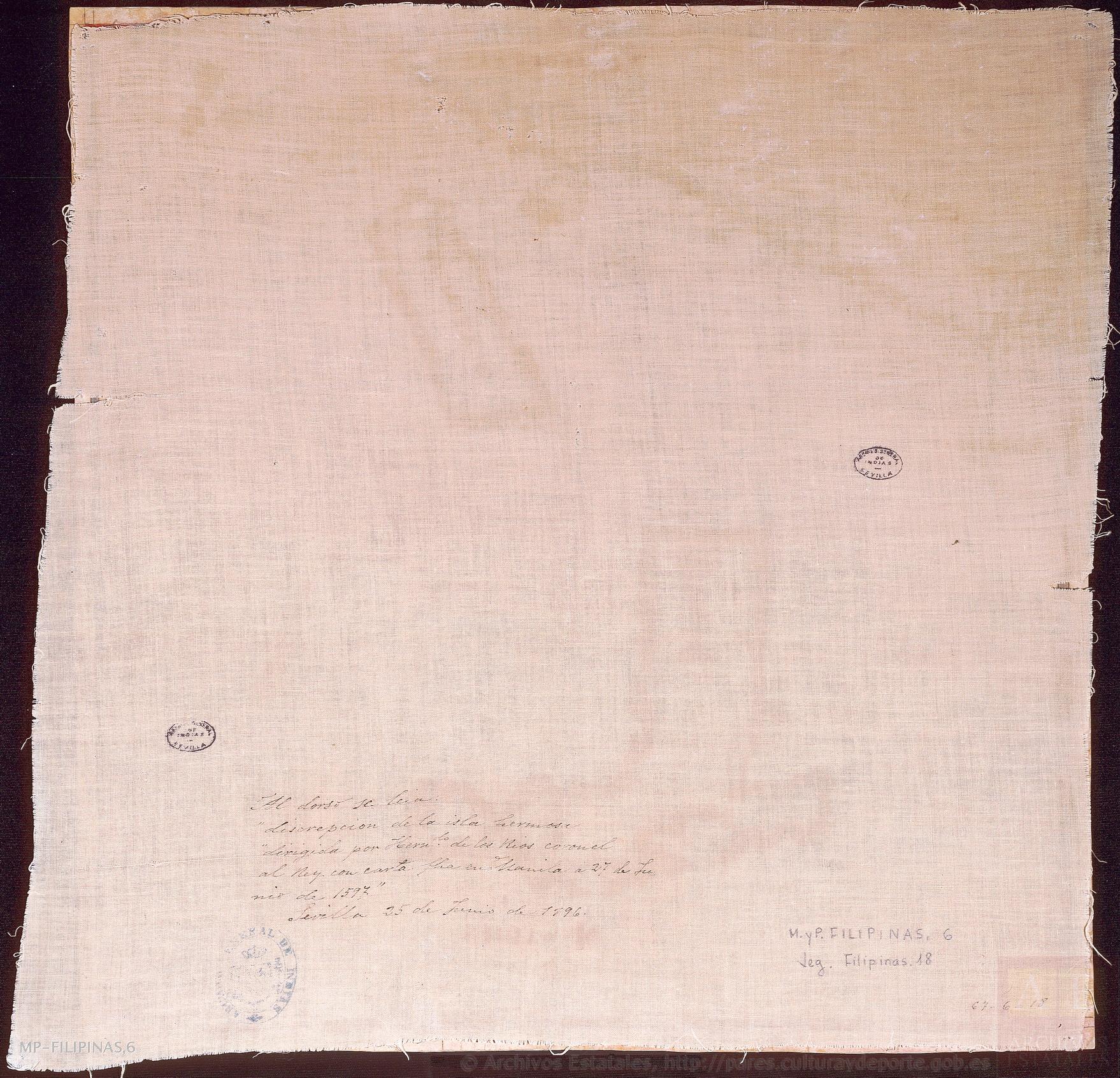
Verso del mapa de las islas de Taiwán (Hermosa o Formosa) y Luzón y costa de la China cercana.jpg - IvanRiosC

Guang Yutu 1588 Vol 2 Pg 107 Eastern South Sea 1.jpg - LlywelynII

Guang Yutu 1588 Vol 2 Pg 108 Western South Sea 1.jpg - LlywelynII

Admiralty Chart No 1789 Channels between Sumatra Linga and Singkep, Published 1904.jpg - Kognos

Formosa 1626.jpg - Justinoguerra