Wikimedi'Òc
Modes d'emploi

Cet album fait partie des albums


China Sea sheet 1st. To James Drummond Esquire in acknowledgement for his laudable endeavours towards perfecting the navigation of the China Sea this chart is inscribed by his most obliged James Horsburgh RMG F0094.tiff - Fæ

China Sea LOC 84696453.jpg - Fæ
China Sea sheet IInd RMG F0095.tiff - Fæ

1823 Chart of China Sea Sheet II by Horsburgh.jpg - Happyseeu

Carta General del Archipielago de Filipinas (1808) MN-58-9.jpg - Happyseeu

Rand McNally & Co.'s China. LOC 2006458368.jpg - Fæ
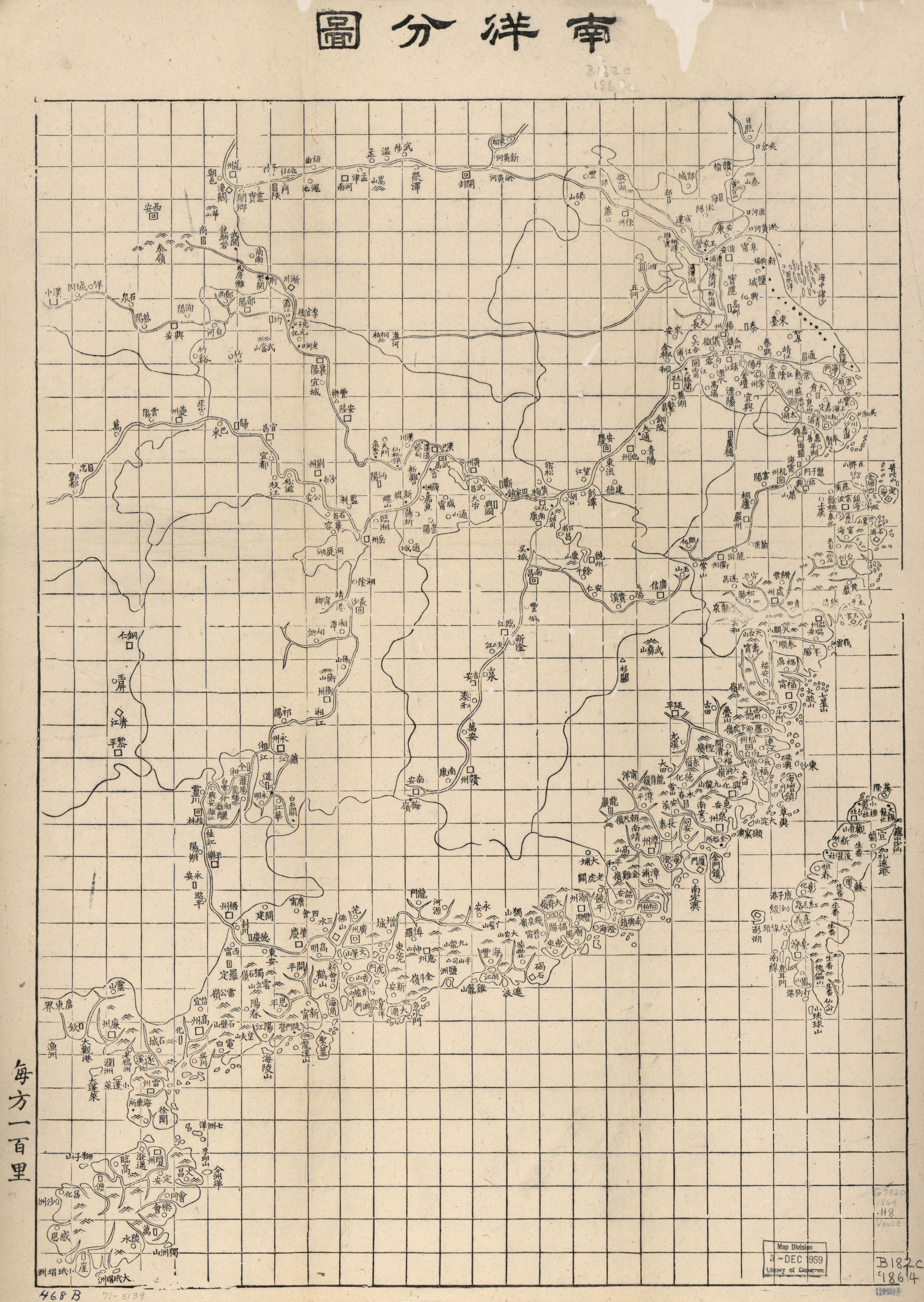
Nan yang fen tu. LOC gm71005139.jpg - Fæ

Dian Yue Yuenan lian jie yu tu. LOC gm71005069.jpg - Fæ
Admiralty Chart No 2413 China Sea RHIO STRAIT Surveyed by Staff Comr J W Reed and Navg T H Tizard RN Assisted by the Officers of HMS Rifleman 1865-8 RMG F1205, Published 1869.tiff - SteinsplitterBot

22 of 'The China Sea Directory. Vol. II. ... Compiled in the Hydrographic Department, Admiralty. Third edition. (The present edition revised by Commander C. F. Oldham; prepared for press by Captain J. J. P. Hitchfield.)' (11200817884).jpg - Artix Kreiger 2

Image taken from page 18 of 'The China Sea Directory. Vol. II. ... Compiled in the Hydrographic Department, Admiralty. Second edition. (The present edition prepared by Staff-Commander Hitchfield.)'.jpg - Kognos

Admiralty Chart No 2660a China Sea, Southern Portion, Western Sheet, Published 1881, Corrections to 1887.jpg - Balkanique

Admiralty Chart No 1270 The China Sea, Published 1840.jpg - Kognos

1889 China Map by Rand McNally and Company.jpg - Happyseeu

Corals form the China Sea Bassett-Smith 1890 03.png - Kognos

Corals form the China Sea Bassett-Smith 1890 02.png - Kognos
L'Indocina (India Transgangetica) le insole Filippine.png - Ltn12345

Eastern Islands, Birmah &c.png - Ltn12345

Malay Archipelago.png - Ltn12345

Malay Archipelago, Or East India Islands.png - Ltn12345

East India Isles.png - Ltn12345

Die Ostindischen Inseln.png - Ltn12345

1858 Plan of the Pratas Reef and Island.jpg - Happyseeu

Admiralty Chart No 2160 Carimata Strait, Published 1881.jpg - Kognos

China Sea Horsburgh 1806 nla.obj-373118053.jpg - Kognos

Reduzierte Karte vom Chinesischen Meer.jpg - Higgenhorscht

Admiralty Chart No 2660 China Sea Sheet III (North West) Cam Ranh Bay to Hong Kong, Published 1859.jpg - Balkanique