Wikimedi'Òc
Modes d'emploi

Cet album fait partie des albums
Cet album photos contient les sous-albums suivants :


Vltoniae orientalis (5375553429).jpg - File Upload Bot (Magnus Manske)

Detail from the map showing Ballyartan, Glebe, etc. (31830825200).jpg - SteinsplitterBot

Detail from the map showing Cahor, Derrynoyd and Moycheeran (31396202653).jpg - SteinsplitterBot

Dungiven Town Plan, 1740 (32057803242).jpg - Akbys
Map of the north of Ireland RMG F2012.tiff - Fæ

38 of 'Guide to North of Ireland, Giant's Causeway and Belfast, with history of Belfast' (11204986556).jpg - FlickreviewR 2

100 of '(Our own country. Descriptive, historical, pictorial.)' (11175981394).jpg - Artix Kreiger 2

Cassell & Co.(1891) p03.238 - Map of Antrim.jpg - Artix Kreiger 2

Cassell & Co.(1898) p05.238 - Map of Antrim.jpg - Artix Kreiger 2

26 of 'Rigby's Illustrated Guide to Belfast and the North of Ireland' (11231581965).jpg - Artix Kreiger 2

70 of 'Rigby's Illustrated Guide to Belfast and the North of Ireland' (11230979666).jpg - FlickreviewR 2
United Kingdom, Northern Ireland. LOC 89693217.tif - Fæ

United Kingdom, Northern Ireland. LOC 89693217.jpg - Fæ

Dungannon Castle and the stone chair at Tullyhogue, Co. Tyrone.png - Zacwill

Irish Boundary Commission final report map (1925).jpg - WisDom-UK

Large map - Religions.jpg - WisDom-UK

Admiralty Chart No 1577 Western approaches to the Firth of Clyde, Published 1913.jpg - Kognos

Beaufort's Dyke, cropped from Admiralty Chart No 1577, Published 1913.jpg - Kognos

Siege of derry boom.png - Dumelow
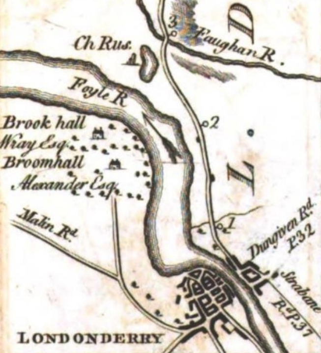
Boom hall map 1777.png - Dumelow

Boom hall map 1860.png - Dumelow

Irish Boundary Commission final report map (1925) - religious distribution.png - Artem.G

Ireland-Northern Ireland Terrain and Railroads - DPLA - 20c3891031a93aaed7698e4c9c5bbf37.jpg - DPLA bot

Admiralty Chart No 45 Lough Carlingford to Lough Larne, Published 1890.jpg - Kognos