Wikimedi'Òc
Modes d'emploi

Cet album fait partie des albums
Cet album photos contient les sous-albums suivants :


La2-demis-scotland.png - LA2

Topographical Map of Traditional Galloway.png - SFC9394

ScotlandTopo Base Map VHR.png - SFC9394

Scotland Land Use by height.png - SFC9394
Scotland blank map.png - Michiel1972

Scotland (Location) Named (HR).png - MjolnirPants

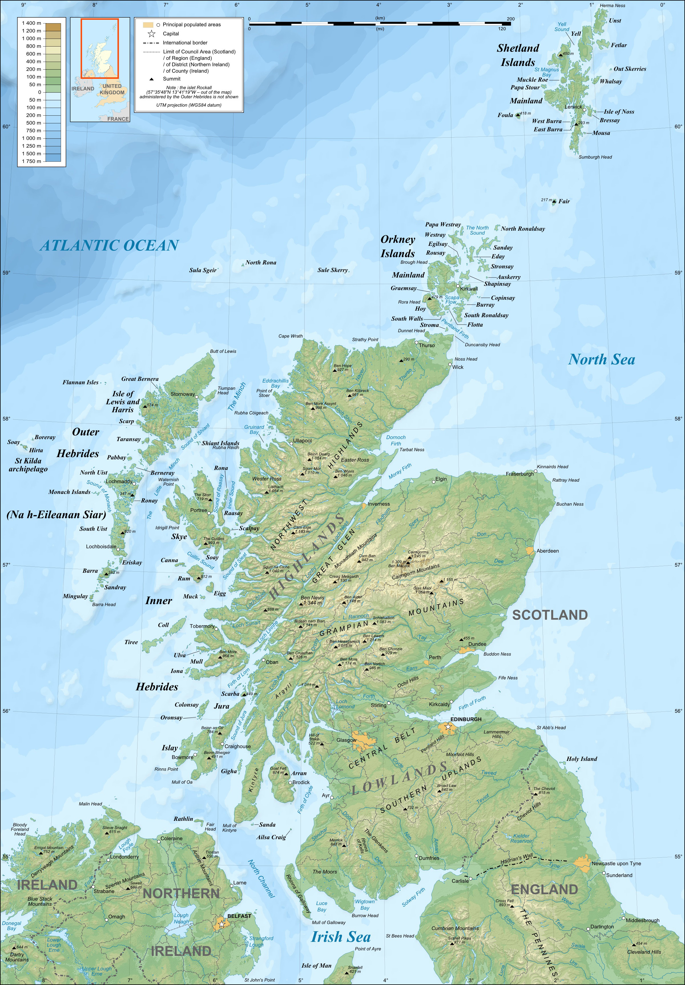
Scotland topographic map-en.svg - Sting
Scotland topographic map-en.jpg - Sting

Scotland topographic map-fr.jpg - Sting

Scotland topographic map-fr.svg - JoKalliauer

Scotland topographic map small-fr.svg - Sting

Scotland topographic map-nb.svg - Jon Harald Søby

Scotland topographic map-nn.svg - Jon Harald Søby

SeaHebrides TheMinch map-fr.svg - Sémhur

Scotland topographic map-de.svg - Schwerdtfeger

Scotland topographic map small-de.svg - Schwerdtfeger

Scotland topographic map-af.svg - Laurens~commonswiki

Mull.topographic.nolabel.jpg - Notuncurious

Mull-topographic.iona.label.jpg - Notuncurious
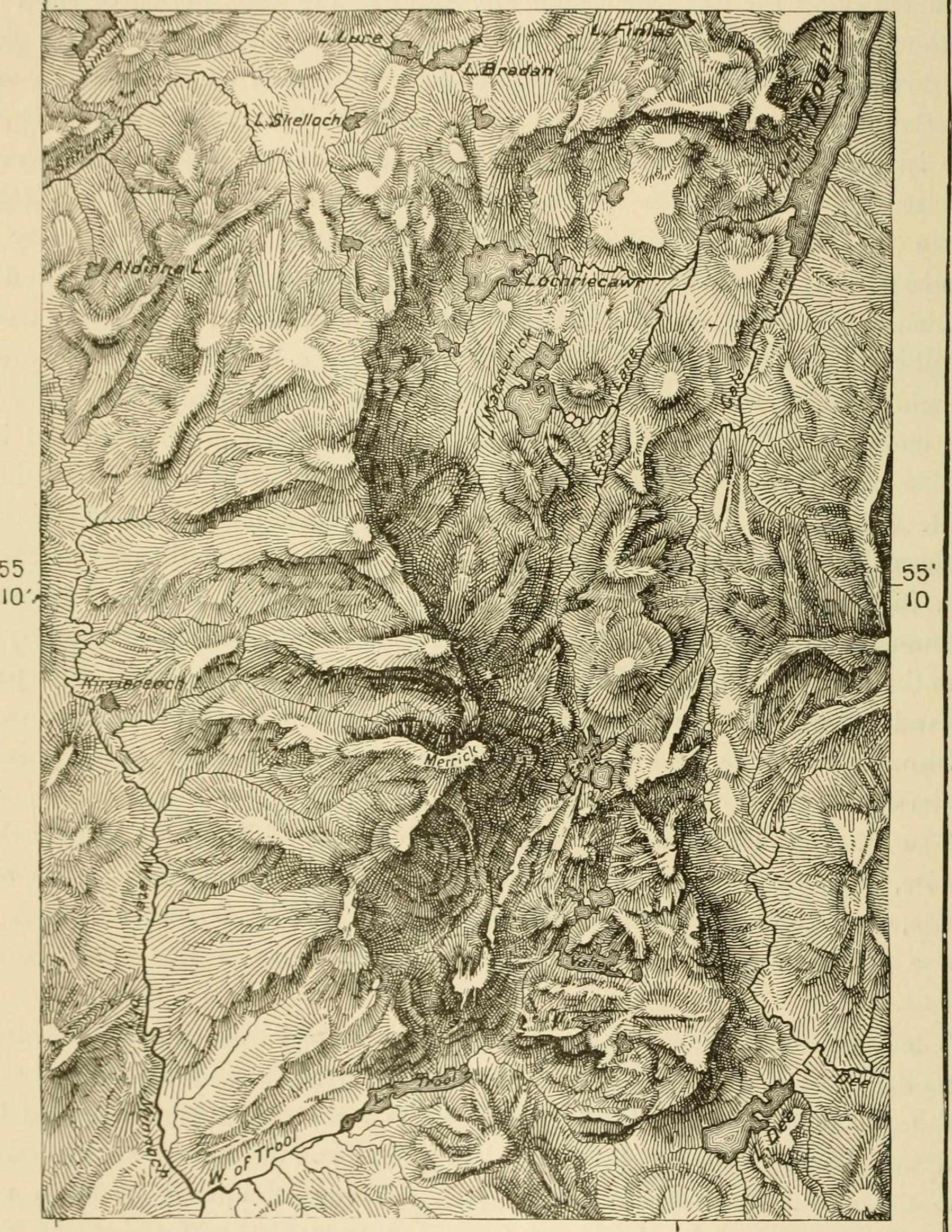
Scotland.southwest.topo.jpg - Notuncurious

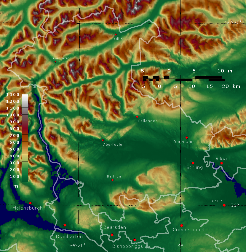
Scotland.central.topo.jpg - Notuncurious

Clyde.catchment.jpg - Notuncurious
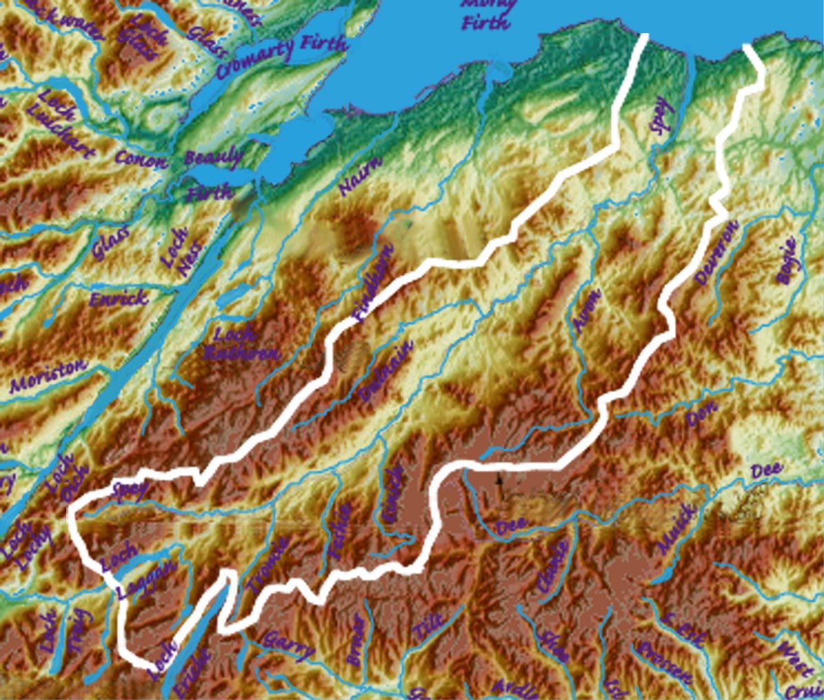
Spey.catchment.jpg - Notuncurious

Tay.catchment.jpg - Notuncurious

Tweed.catchment.jpg - Notuncurious

Britain.northern.walls.jpg - Notuncurious

Saint Kilda archipelago topographic map-fr.svg - Sting

Scotland topographic map-ru.svg - Переход Артур

Scotland topographic map-fr contrast.jpg - Aspérule

Great Glen Way map-fr.svg - Ayack

Great Glen Way map-en.svg - Ayack

Great Glen Way map-mk.svg - Bjankuloski06en

Scotland relief location map.jpg - Uwe Dedering

Scotland topographic map small-mk.svg - Bjankuloski06en

Saint Kilda archipelago topographic map-de.svg - Furfur

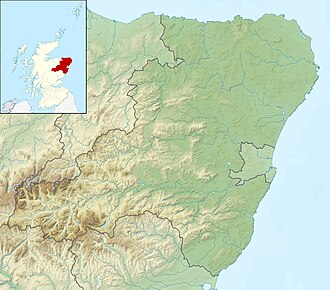
North Scotland infobox template map.png - Nau03144

Highland topo SRTM.png - PawełS

Scotland topographic map small-sco.svg - Homo lupus

Scotland topographic map small-en.svg - Homo lupus

Aberdeen UK relief location map.jpg - Nilfanion
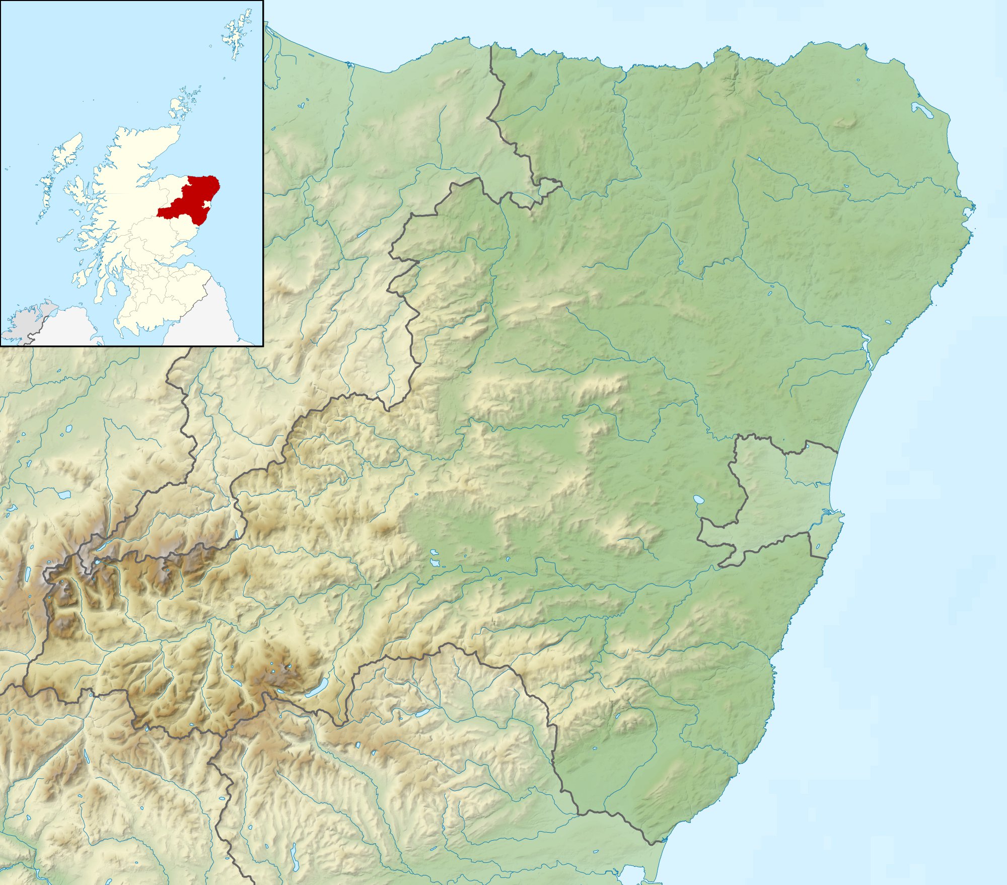
Aberdeenshire UK relief location map.jpg - Nilfanion

Angus UK relief location map.jpg - Nilfanion

Argyll and Bute UK relief location map.jpg - Nilfanion
Clackmannanshire UK relief location map.jpg - Nilfanion

Dumfries and Galloway UK relief location map.jpg - Nilfanion

Dundee UK relief location map.jpg - Nilfanion

East Ayrshire UK relief location map.jpg - Nilfanion

East Dunbartonshire UK relief location map.jpg - Nilfanion

East Lothian UK relief location map.jpg - Nilfanion

East Renfrewshire UK relief location map.jpg - Nilfanion

Edinburgh UK relief location map.jpg - Nilfanion

Falkirk UK relief location map.jpg - Nilfanion

Fife UK relief location map.jpg - Nilfanion

Glasgow UK relief location map.jpg - Nilfanion

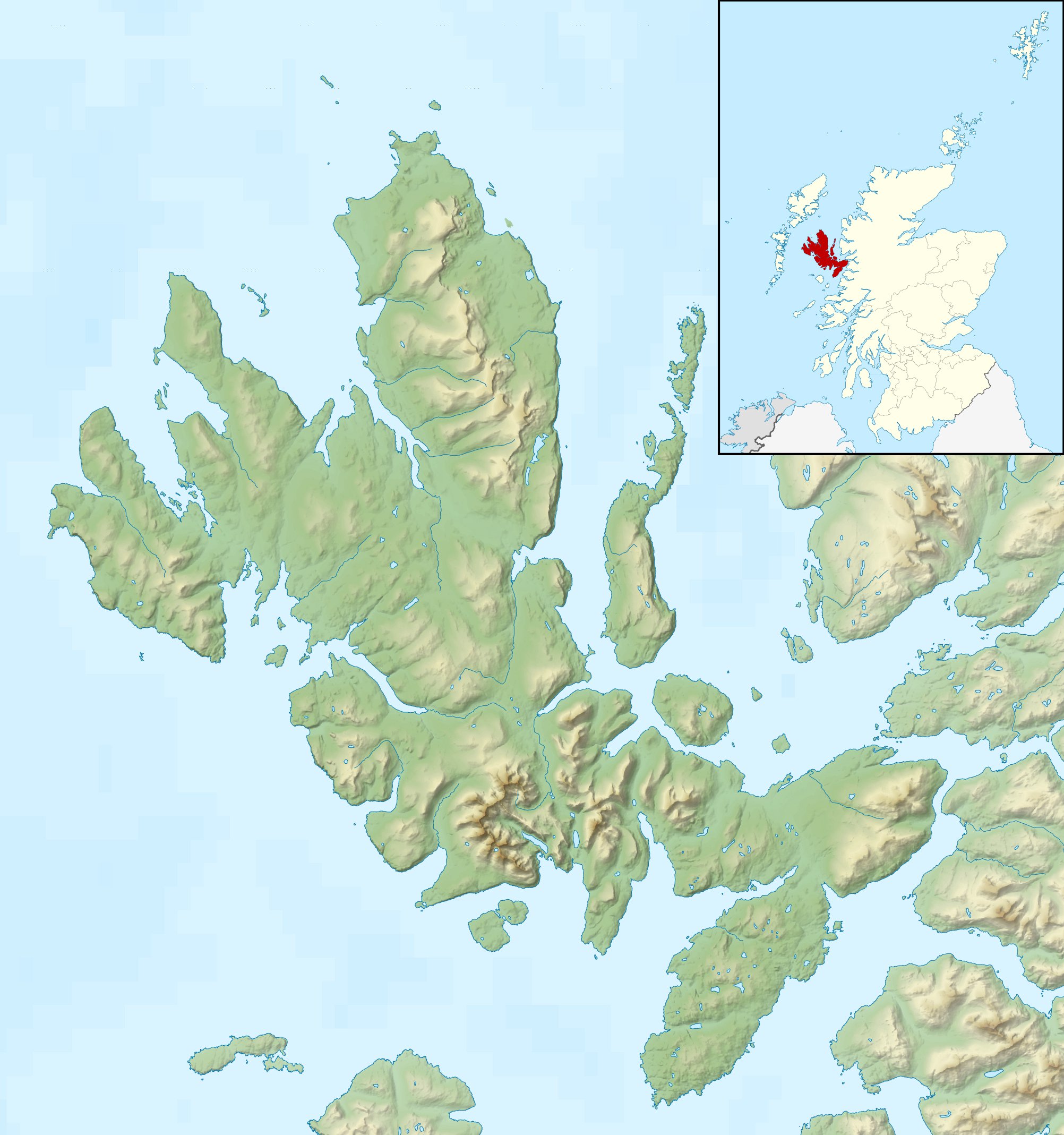
Highland UK relief location map.jpg - Nilfanion

Inverclyde UK relief location map.jpg - Nilfanion
Midlothian UK relief location map.jpg - Nilfanion

Moray UK relief location map.jpg - Nilfanion

North Ayrshire UK relief location map.jpg - Nilfanion
North Lanarkshire UK relief location map.jpg - Nilfanion

Orkney Islands UK relief location map.jpg - Nilfanion

Outer Hebrides UK relief location map.jpg - Nilfanion

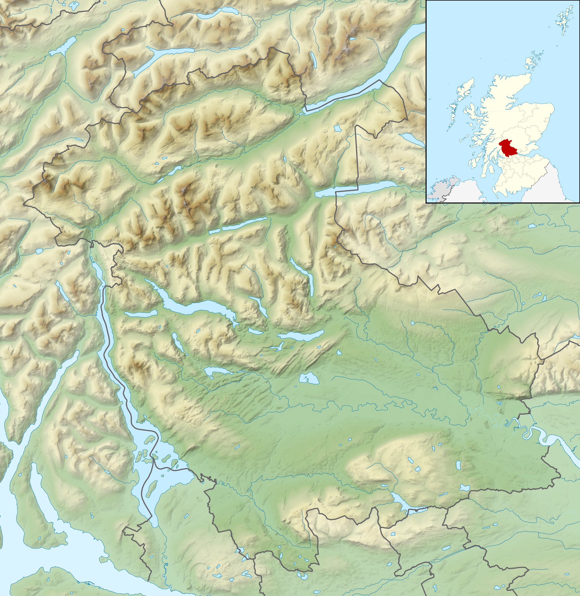
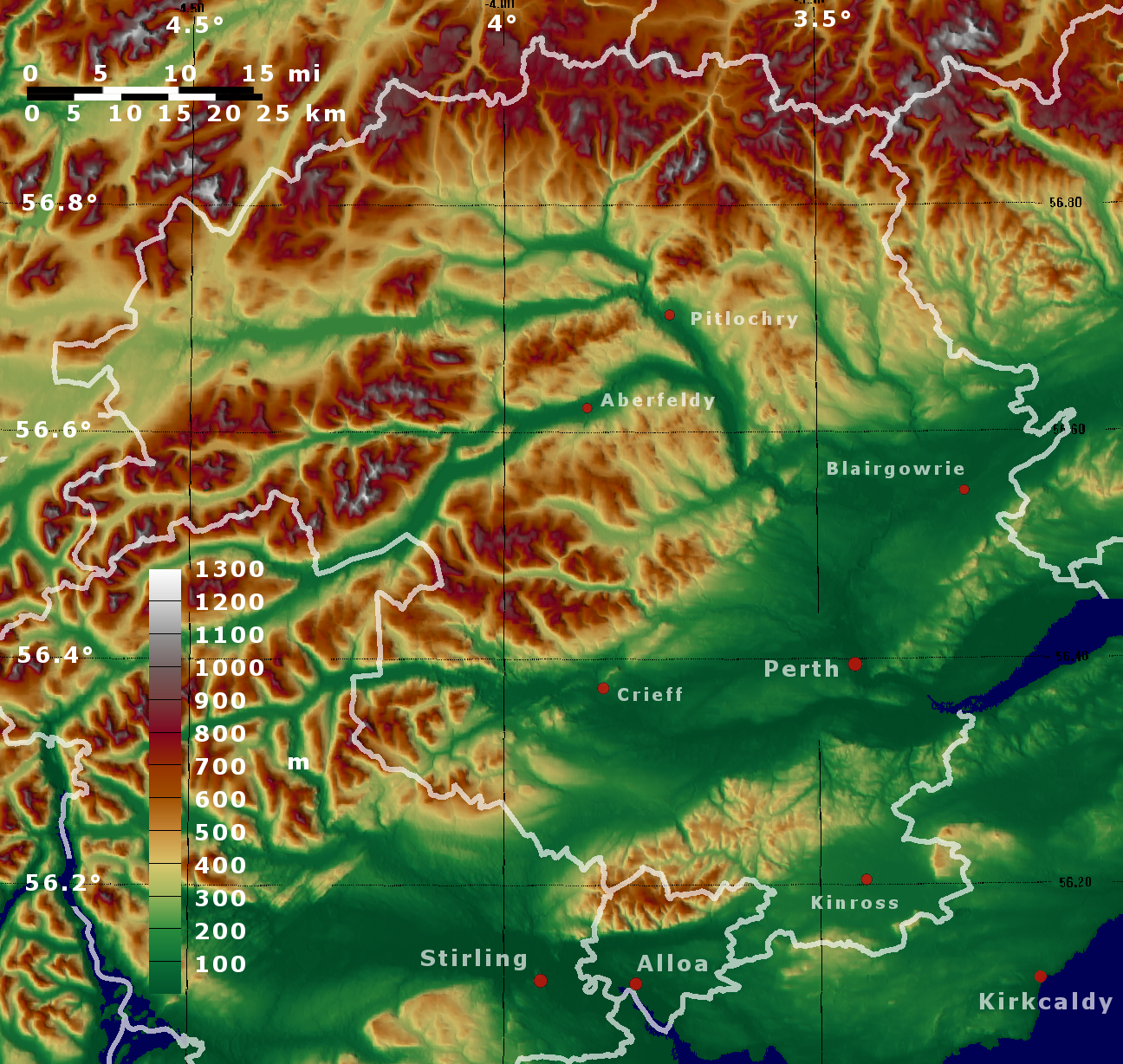
Perth and Kinross UK relief location map.jpg - Nilfanion
Renfrewshire UK relief location map.jpg - Nilfanion

Scottish Borders UK relief location map.jpg - Nilfanion

Shetland UK relief location map.jpg - Nilfanion

South Ayrshire UK relief location map.jpg - Nilfanion

South Lanarkshire UK relief location map.jpg - Nilfanion
Stirling UK relief location map.jpg - Nilfanion

West Dunbartonshire UK relief location map.jpg - Nilfanion

West Lothian UK relief location map.jpg - Nilfanion

Badenoch and Strathspey UK relief location map.jpg - Nilfanion

Caithness UK relief location map.jpg - Nilfanion

Inverness UK relief location map.jpg - Nilfanion
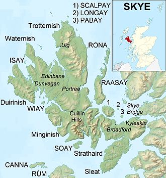
Isle of Skye UK relief location map.jpg - Nilfanion

Lochaber UK relief location map.jpg - Nilfanion

Nairn UK relief location map.jpg - Nilfanion

Sutherland UK relief location map.jpg - Nilfanion

Ross and Cromarty UK relief location map.jpg - Nilfanion

Central Cairngorms UK relief map.png - Nilfanion

Argyll and Bute.png - PawełS

Dumfries and Galloway topo.png - PawełS

Saint Kilda archipelago topographic map-en.svg - DrKay

Aberdeen Aberdeenshire Moray topo.png - PawełS
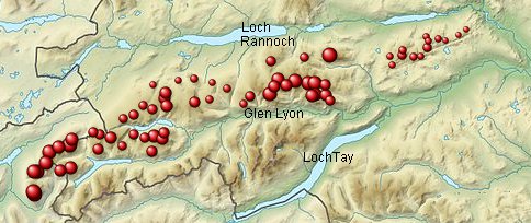
Scottish Mountains Loch Tay to Perth.xcf - RobinLeicester

Scottish Mountains Loch Tay to Perth.jpg - RobinLeicester

Scotland topographic map-mk.svg - Bjankuloski06en
Perth adn Kinross topo.png - PawełS

Inveraray to Crianlarich.jpg - Llywelyn2000

Loch Lomond i Strathyre.jpg - Llywelyn2000

Strathyre i Strathallan.jpg - Llywelyn2000
Loch Long i Loch Lomond.jpg - Llywelyn2000

Glen Lyon i Glen Dochart a Loch Tay.jpg - Llywelyn2000
Loch Rannoch i Glen Lyon.jpg - Llywelyn2000
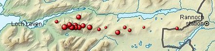
Loch Leven i Rannoch Station.jpg - Llywelyn2000

Fort William i Loch Treig a Loch Leven.jpg - Llywelyn2000
Loch Treig i Loch Ericht.jpg - Llywelyn2000
Loch Ericht i Glen Tromie a Glen Garry.jpg - Llywelyn2000
Glen Tromie i Glen Tilt.jpg - Llywelyn2000
Pitlochry i Braemar a Blairgowrie.jpg - Llywelyn2000

Braemar i Monadh Rois (Montrose).jpg - Llywelyn2000

Cairngorm.jpg - Llywelyn2000

Glen Albyn i Monadh Liath.jpg - Llywelyn2000
Loch Lochy i Loch Laggan.jpg - Llywelyn2000
Glen Shiel i Loch Hourn a Loch Quoich.jpg - Llywelyn2000
Knoydart i Glen Kingie.jpg - Llywelyn2000
Loch Arkaig i Glen Moriston.jpg - Llywelyn2000

Mallaig i Fort William.jpg - Llywelyn2000
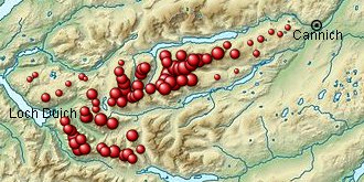
Loch Duich i Cannich.jpg - Llywelyn2000
Glen Affric i Glen Moriston.jpg - Llywelyn2000

Kyle of Lochalsh i Garve.jpg - Llywelyn2000

Killilan i Inverness.jpg - Llywelyn2000

Scotland topographic map-es.svg - Nachosan
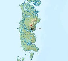
De Uist.jpg - Llywelyn2000

Arran.jpg - Llywelyn2000
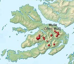
Mull2.jpg - Llywelyn2000

Gogledd Skye.jpg - Llywelyn2000
Na Hearadh (Ynys Harris).jpg - Llywelyn2000

O Altnaharra i Dornoch.jpg - Llywelyn2000

Scourie i Lairg.jpg - Llywelyn2000

Tongue i Wick a Helmsdale.jpg - Llywelyn2000
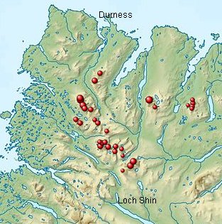
Durness i Loch Shin.jpg - Llywelyn2000

Loch Broom i Strath Oykel.jpg - Llywelyn2000

Loch Vaich i Moray Firth.jpg - Llywelyn2000
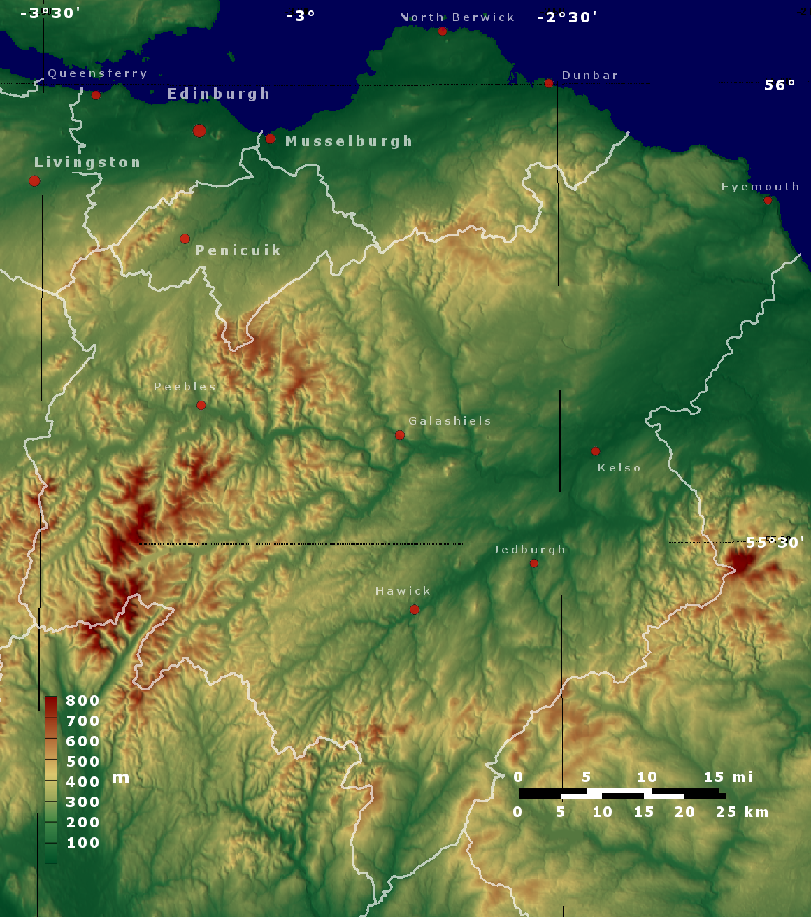
Topo map Scottish Borders, Edinburgh, East Lothian, Midlothian.png - PawełS

Isle of Skye UK relief location map labels.jpg - Ruhrfisch

River Forth course 3.png - VanguardScot
Topo map Stirling Dunbartonshire.png - PawełS

Whalsay UK relief location map.svg - Nilfanion

Hebrides and The Minch.svg - Hogweard

Great Glen Way map-de.svg - Papiermond

Moray Firth topo.png - Ulamm

Northern Isles topographic map.svg - Rob984

A short history of England and the British Empire (1915) (14580513028).jpg - SteinsplitterBot
The earth and its inhabitants (1881) (14784001032).jpg - Fæ

A fauna of the Tay Basin and Strathmore (1906) (14751661995).jpg - Fæ

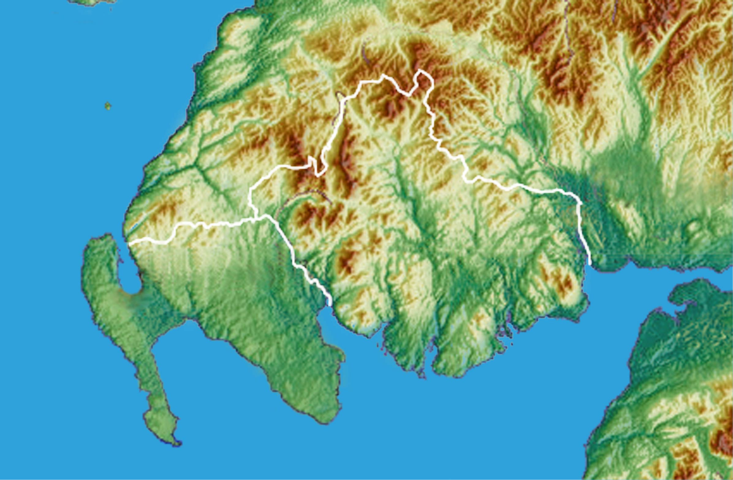
Lorn and Lochaber.jpg - Kognos

376 of 'The Earth and its Inhabitants. The European section of the Universal Geography by E. Reclus. Edited by E. G. Ravenstein. Illustrated by ... engravings and maps' (11124412923).jpg - Enyavar
414 of 'The British Isles ... (Translated from “Nouvelle Géographie Universelle.”) Edited by E. G. Ravenstein ... Illustrated, etc' (11191711464).jpg - Artix Kreiger 2
Scotland blank map (central belt).png - Crowsus
Scotland blank map (small belt).png - Crowsus

Scotland topographic map-eu.svg - Xabier Cañas

Renfrewshire UK relief location map (Cart).jpg - Crowsus

Glasgow UK relief location map (White Cart).jpg - Crowsus

MacGregor Midland Valley Scotland Plate 1.jpg - Kognos

Eriskay, Outer Hebrides.jpg - SchroCat

Edinburgh relief map with OpenStreetMap road overlay (3865939852).png - Eyes Roger

Highland UK relief location map-640.png - 㭍月例祭

ロッホ・マリー周辺図.png - 㭍月例祭

Rhu Peninsula elevated thematic map 1.svg - Goran tek-en

Rhu Peninsula elevated thematic map 1 location legend.svg - Goran tek-en

Saint Kilda Map.png - Vallee