Wikimedi'Òc
Modes d'emploi

Cet album fait partie des albums
Cet album photos contient les sous-albums suivants :


Wuzzing holes,Golcar - geograph.org.uk - 2194601.jpg - GeographBot

Horncliffe Well gatepost - geograph.org.uk - 23702.jpg - GeographBot

Standing stone, Crow Hill Nook - geograph.org.uk - 16661.jpg - Geograph Update Bot

Cowper's Cross, Ilkley Moor - geograph.org.uk - 48269.jpg - GeographBot

Grobstones Stone Circle, Burley Moor - geograph.org.uk - 44791.jpg - GeographBot

Standing Stone, High Brown Knoll Edge - geograph.org.uk - 32524.jpg - GeographBot

Remains of cross, Morton Moor - geograph.org.uk - 48272.jpg - GeographBot

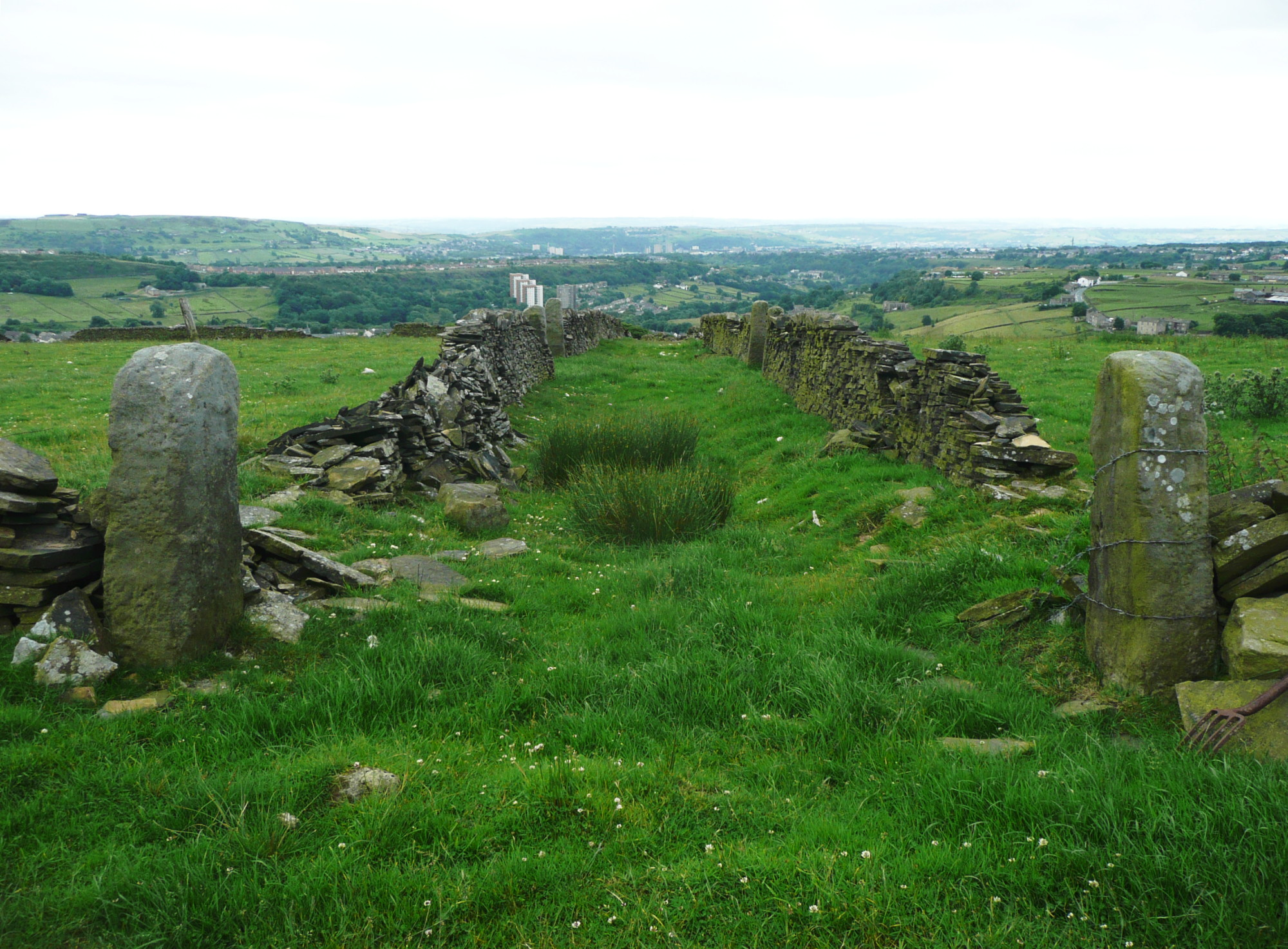
Junction of Pennine Way and Long Causeway - geograph.org.uk - 99541.jpg - Geograph Update Bot

Standing Stone, Carr Manor Field - geograph.org.uk - 93194.jpg - GeographBot

Modern standing stone, Wholestone Moor, Longwood - geograph.org.uk - 254518.jpg - GeographBot

The Long Stoop and the Pennine Way towards Stoodley Pike - geograph.org.uk - 288274.jpg - GeographBot

Causey (causeway) stones, Rookes Lane, Hipperholme - geograph.org.uk - 390931.jpg - GeographBot
The Top of Hey Clough - geograph.org.uk - 503037.jpg - GeographBot

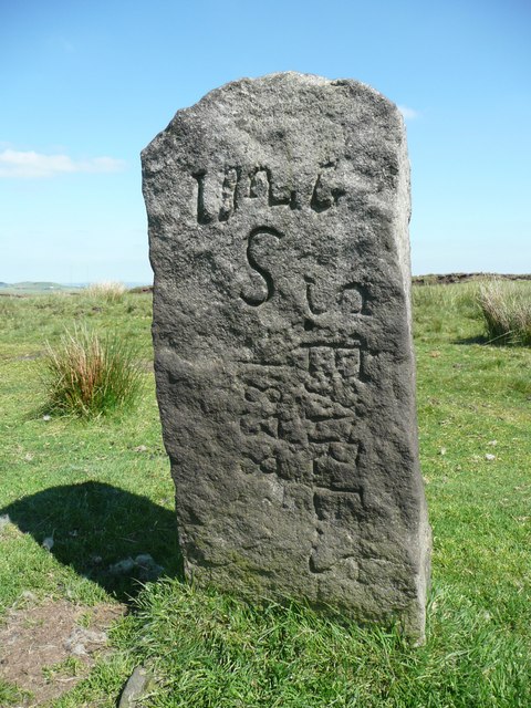
Boundary Stone marked "JC" - geograph.org.uk - 646402.jpg - GeographBot

The Pack Horse Road at Stone ^1, Marsden - geograph.org.uk - 797441.jpg - GeographBot

Pack Horse Road stone ^5, Marsden - geograph.org.uk - 828318.jpg - GeographBot
NW face of boundary stone, Rishworth (Ripponden) - geograph.org.uk - 837900.jpg - GeographBot

Road sign - geograph.org.uk - 927300.jpg - GeographBot

Unusual road sign - geograph.org.uk - 927291.jpg - Bjh21

Guidestone at junction of Norland Road and Rochdale Road B6113, Greetland - geograph.org.uk - 992740.jpg - GeographBot

Marker Stone on Limersgate - geograph.org.uk - 998953.jpg - GeographBot

Bridleway off Danny Lane, Luddenden Foot - geograph.org.uk - 1170040.jpg - GeographBot

Close up of The Pimple - geograph.org.uk - 1319118.jpg - GeographBot

Spring, Turner Lane, Halifax - geograph.org.uk - 1614382.jpg - GeographBot

Le patron ne mange pas ici (16804767641).jpg - INeverCry

Honk (2319548342).jpg - INeverCry

Horley Green Lane, near Halifax (1654253457).jpg - INeverCry

Two paths diverge in a wood (1765164286).jpg - INeverCry

Stones on Ilkley Moor (2438832878).jpg - INeverCry

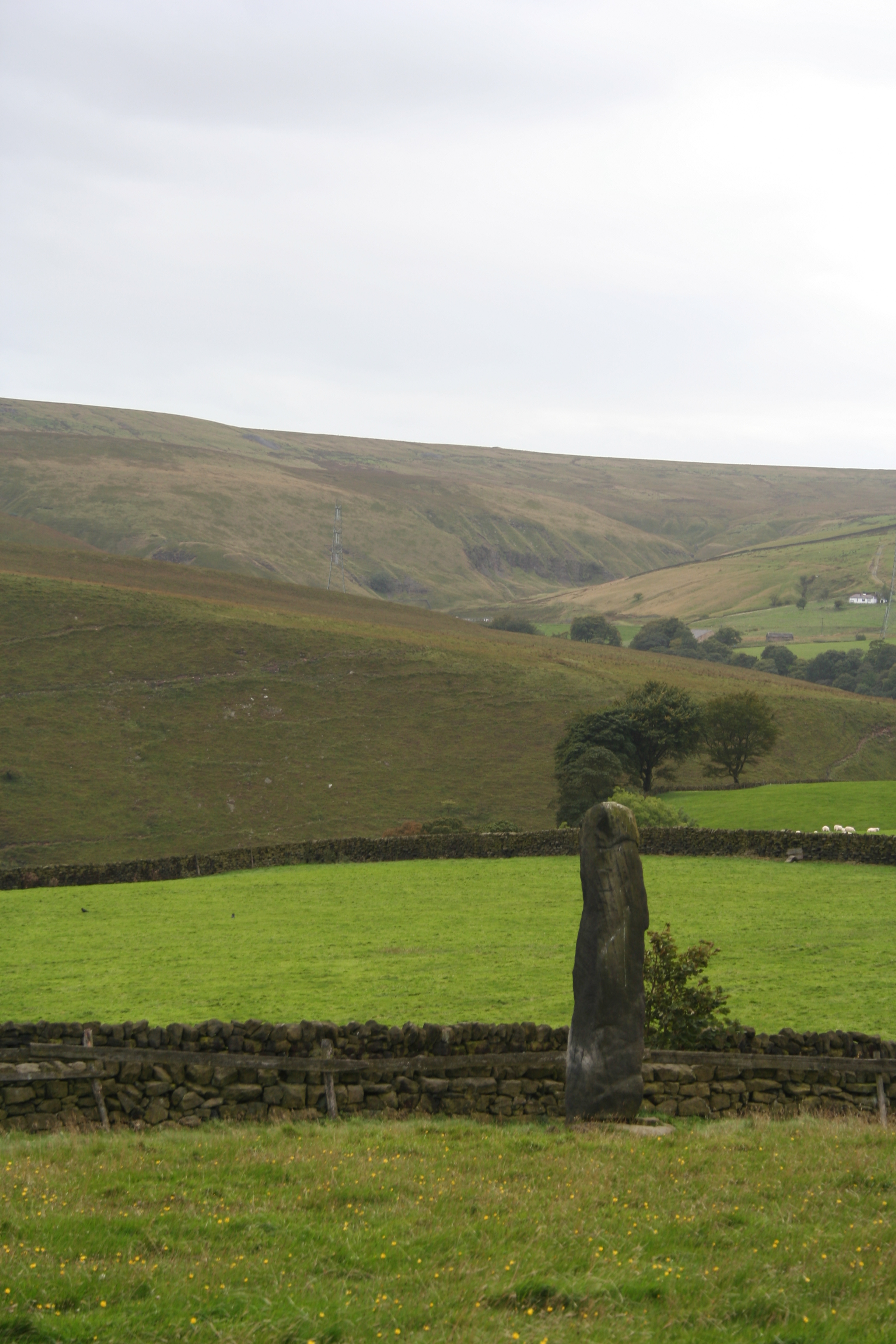
Leaning stone at Withens Gate (3379664345).jpg - INeverCry
Standing stones near Stones Farm, Todmorden 01.jpg - Dave.Dunford

Standing stones near Stones Farm, Todmorden 02.jpg - Dave.Dunford

Hundred yard marker on the Calder ^ Hebble - geograph.org.uk - 2049296.jpg - GeographBot

Old gatepost on Broad Carr Lane - geograph.org.uk - 2231993.jpg - GeographBot

Toll bar - geograph.org.uk - 3355044.jpg - GeographBot

Old Wayside Cross (geograph 6560351).jpg - Sic19

Old Waymarker Stone in Shibden Dale (geograph 6035286).jpg - Sic19

West Riding County Council bridge marker on west side of Park Lane (geograph 5711528).jpg - Sic19

Disused field access track off Acre Lane - geograph.org.uk - 3502219.jpg - GeographBot

Stone on the old Apperley Bridge - geograph.org.uk - 3704972.jpg - GeographBot

Stone near Elland FP01 and Sowerby bridge FP149 - geograph.org.uk - 4329018.jpg - GeographBot

Gated stile on Sowerby bridge FP81, Norland - geograph.org.uk - 4488589.jpg - GeographBot

Stone post on Sowerby Bridge FP81 (Upper Wat Ing path), Norland - geograph.org.uk - 4490121.jpg - GeographBot

Mysterious stone on Brighouse FP79, Clifton - geograph.org.uk - 4690602.jpg - GeographBot

Seats and memorials at East Wood Top, Stainland - geograph.org.uk - 4707422.jpg - GeographBot

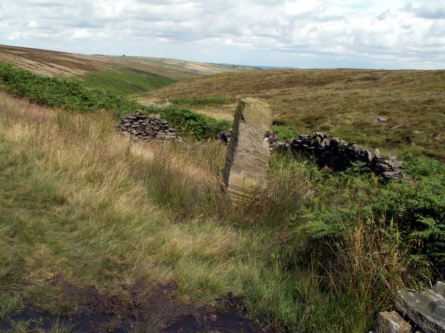
Lonely Post at the Disused Crow Hill Delph Quarries - geograph.org.uk - 4868060.jpg - GeographBot

Tall stone at junction of paths, Queensbury - geograph.org.uk - 4937438.jpg - GeographBot
Footpath on a track to the site of Upper Height, Ovenden - geograph.org.uk - 5025190.jpg - GeographBot

Queensbury FP32 at Bracken Hill - geograph.org.uk - 5280709.jpg - GeographBot

Orienteering post at the ruins of Upper Height, Mixenden - geograph.org.uk - 5347732.jpg - GeographBot

Stone pillar alongside Halifax FP91, Mixenden - geograph.org.uk - 5348330.jpg - GeographBot

Stone slab on Halifax FP676, Skircoat - geograph.org.uk - 5874522.jpg - GeographBot

Informal footpath to Rose Terrace, Skircoat - geograph.org.uk - 5874640.jpg - GeographBot

The Fryston finger - geograph.org.uk - 5973118.jpg - GeographBot

Stone post beside Rookes Lane - geograph.org.uk - 6013600.jpg - GeographBot

At the summit of Pule Hill, Marsden - geograph.org.uk - 6668987.jpg - GeographBot

Inscribed stone on Station Lane - geograph.org.uk - 7897357.jpg - GeographBot

Path junction, Henacre Wood, Shibden Dale - geograph.org.uk - 7771647.jpg - GeographBot

Isolated stone in field - geograph.org.uk - 7781375.jpg - GeographBot