Wikimedi'Òc
Modes d'emploi

Cet album fait partie des albums
Cet album photos contient les sous-albums suivants :


Cuckoo Trail Footpath.jpg - Lamberhurst

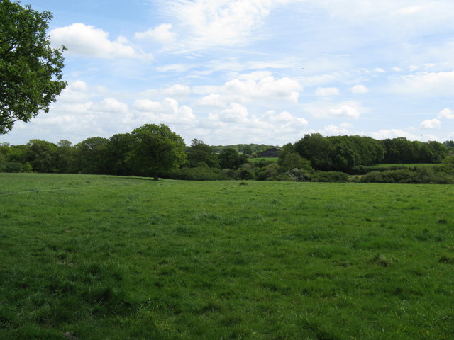
Forest Way Footpath.jpg - Lamberhurst
Bridleway, Falmer Hill - geograph.org.uk - 62988.jpg - GeographBot

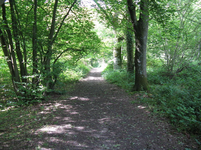
Woodland walk - geograph.org.uk - 35004.jpg - GeographBot

Footpath heading NW from Guestling - geograph.org.uk - 155576.jpg - GeographBot

Footpath North-east of Woodlands Farm - geograph.org.uk - 227511.jpg - GeographBot

Bridleway from Kent to Sussex - geograph.org.uk - 314373.jpg - Rotatebot

Trail from Glynde to Lewes - geograph.org.uk - 314830.jpg - GeographBot

Triangular Junction, Fishers Gate - geograph.org.uk - 316672.jpg - GeographBot
D Beacon (NE from Summit).jpg - BotMultichill

Cat's Creep at Roundhill Crescent, Brighton.JPG - Hassocks5489

Footpath to Falmer Station - geograph.org.uk - 521560.jpg - GeographBot
Bridleway to Ditchling Beacon - geograph.org.uk - 596399.jpg - GeographBot

Bridleway to Stanmer Village - geograph.org.uk - 596391.jpg - GeographBot

Entrance to Millbank Wood - geograph.org.uk - 596323.jpg - GeographBot

Footpath Entering Glynde - geograph.org.uk - 594772.jpg - GeographBot

Track through Millbank Wood - geograph.org.uk - 596314.jpg - GeographBot

Footpath to Westmeston - geograph.org.uk - 614122.jpg - GeographBot
Towards Ditchling Beacon - geograph.org.uk - 614165.jpg - GeographBot

Entering Ramslye Wood - geograph.org.uk - 694561.jpg - GeographBot

Footpath Through Pevensey Castle - geograph.org.uk - 697749.jpg - GeographBot

Boundary Belt - geograph.org.uk - 729035.jpg - GeographBot

Footpath under Arts Road - geograph.org.uk - 720988.jpg - GeographBot

Footpath through Blatchington Golf Course, Seaford - geograph.org.uk - 732184.jpg - GeographBot

Fork in the Footpath above Blackstone Bottom - geograph.org.uk - 732172.jpg - GeographBot

View to Fairlight Cove - geograph.org.uk - 735590.jpg - GeographBot

Winterbourne Stream from Winterbourne Mews, Lewes, East Sussex - geograph.org.uk - 742161.jpg - GeographBot

Bluebells and Hedgerow alongside a bridle path - geograph.org.uk - 765523.jpg - GeographBot

Choice of Routes, Beddingham Hill - geograph.org.uk - 760698.jpg - GeographBot

Footpath to Glynde - geograph.org.uk - 762051.jpg - GeographBot

Track through Seven Sisters Country Park - geograph.org.uk - 784515.jpg - GeographBot

An electrifying walk - geograph.org.uk - 797318.jpg - GeographBot

Footpath Junction near Wivelsfield - geograph.org.uk - 844257.jpg - GeographBot
Footpath to Clearwaters Farm - geograph.org.uk - 843870.jpg - GeographBot

Footpath to Lunces Hall - geograph.org.uk - 844265.jpg - GeographBot

Footpath to Wivelsfield Church - geograph.org.uk - 844277.jpg - GeographBot

Footpath to Worlds End - geograph.org.uk - 844156.jpg - GeographBot

Footpath to Lodgefield - geograph.org.uk - 861974.jpg - GeographBot

Footpath to Barcombe - geograph.org.uk - 1099783.jpg - GeographBot

Footpath across the mainline. - geograph.org.uk - 1106186.jpg - GeographBot

Footpath along a field's edge near Battenhurst - geograph.org.uk - 1105626.jpg - GeographBot

Footpath along a hedge, Rother Valley - geograph.org.uk - 1106107.jpg - GeographBot

Footpath crosses the track - geograph.org.uk - 1105601.jpg - GeographBot

Footpath enters Gigmore Wood - geograph.org.uk - 1107488.jpg - GeographBot

Footpath from Forge House leading up the side of the Rother valley. - geograph.org.uk - 1106206.jpg - GeographBot

Footpath leading South from Sheepstreet Lane - geograph.org.uk - 1106036.jpg - GeographBot

Footpath through Gigmore Wood - geograph.org.uk - 1107504.jpg - GeographBot

Footpath through the woods - geograph.org.uk - 1106058.jpg - GeographBot

Footpath through the woods South of Sheepstreet Lane - geograph.org.uk - 1106053.jpg - GeographBot

Footpath near Rolfs Farm - geograph.org.uk - 1116107.jpg - GeographBot

Footpath Leaving the A27 - geograph.org.uk - 1155845.jpg - GeographBot

Footpath towards Groombridge Place - geograph.org.uk - 1151516.jpg - GeographBot

Footpath leading East from Stonegate station - geograph.org.uk - 1244946.jpg - GeographBot

Footpath off Peartree Hill - geograph.org.uk - 1244956.jpg - GeographBot

Footpath across a field in the Rother Valley - geograph.org.uk - 1255030.jpg - GeographBot

Footpath by hop garden, Rother Valley - geograph.org.uk - 1255061.jpg - GeographBot

Footpath leading off Spring Lane, Holton Hill - geograph.org.uk - 1253685.jpg - GeographBot

Footpath towards Witherenden Bridge - geograph.org.uk - 1255087.jpg - GeographBot
Footpath along the county boundary, Nevill Golf Club - geograph.org.uk - 1272443.jpg - GeographBot

Footpath crosses a track, Chase Wood - geograph.org.uk - 1272501.jpg - GeographBot

Footpath heading north from Frant - geograph.org.uk - 1272522.jpg - GeographBot

Footpath north of Bayhall Mill Rd - geograph.org.uk - 1273350.jpg - GeographBot

Footpath off Bayhall Mill Rd, Nevill Golf Course - geograph.org.uk - 1273332.jpg - GeographBot

Footpath signpost north of Frant - geograph.org.uk - 1272693.jpg - GeographBot

Footpath through Chase Wood - geograph.org.uk - 1272717.jpg - GeographBot

Footpath to Crowlink - geograph.org.uk - 1272542.jpg - GeographBot

Footpath to Forest Rd - geograph.org.uk - 1273421.jpg - GeographBot

Footpath to Forest Rd - geograph.org.uk - 1273427.jpg - GeographBot

Footpath to Frant disappears into the bushes^ - geograph.org.uk - 1272515.jpg - GeographBot

Footpath waymark, Chase Wood - geograph.org.uk - 1272741.jpg - GeographBot
Track to Brickhouse Farm off Bayham Rd (2) - geograph.org.uk - 1272453.jpg - GeographBot

Footpath and farm track to Wootton Farm - geograph.org.uk - 1315112.jpg - GeographBot

Footpath and track from East Chiltington church to Stantons farm - geograph.org.uk - 1315278.jpg - GeographBot

Footpath heading south to Novington Manor - geograph.org.uk - 1315292.jpg - GeographBot

Footpath leading off St Helena Lane - geograph.org.uk - 1314609.jpg - GeographBot

Footpath leaving Plumpton Green towards Homewoodgate Farm - geograph.org.uk - 1314788.jpg - GeographBot
Footpath on North America Farm - geograph.org.uk - 1314564.jpg - GeographBot
Footpath through Blackbrook Wood - geograph.org.uk - 1315851.jpg - GeographBot

Footpath through the Buttercups - geograph.org.uk - 1318937.jpg - GeographBot

Footpath in Stanmer Woods - geograph.org.uk - 1329683.jpg - GeographBot

Path Through Science Car Park, University of Sussex - geograph.org.uk - 1343335.jpg - GeographBot

Footpath to Fowley Lane - geograph.org.uk - 1376717.jpg - GeographBot

Footpath to Sleeches Viaduct - geograph.org.uk - 1378927.jpg - GeographBot

Footpath, Cypress Wood - geograph.org.uk - 1380500.jpg - GeographBot

Coastal view towards Holywell - geograph.org.uk - 1407934.jpg - GeographBot

Barn Ham - geograph.org.uk - 1413898.jpg - GeographBot

Cyclist in the woods - geograph.org.uk - 1425024.jpg - GeographBot

Footpath Through East Gate Field - geograph.org.uk - 1449355.jpg - GeographBot

Bottom Entrance - geograph.org.uk - 1455891.jpg - GeographBot
Bridleway to Ditchling Beacon - geograph.org.uk - 1455905.jpg - GeographBot

Footpath up Limekiln Scarp - geograph.org.uk - 1455998.jpg - GeographBot

Footpath, Ditchling Common Country Park - geograph.org.uk - 1463032.jpg - GeographBot

Footpath, Haily Field - geograph.org.uk - 1474664.jpg - GeographBot

Footpath above Lewes Road - geograph.org.uk - 1474719.jpg - GeographBot

Footpath from Farm Lane - geograph.org.uk - 1473959.jpg - GeographBot

Footpath to Ditchling - geograph.org.uk - 1474777.jpg - GeographBot

Footpath to Streat - geograph.org.uk - 1471685.jpg - GeographBot

Footpath to Streat - geograph.org.uk - 1473975.jpg - GeographBot

Deer proof fence by the Tunbridge Wells Circular Path, Eridge Park - geograph.org.uk - 1490909.jpg - GeographBot

Flint Barn, Ashurst Lane - geograph.org.uk - 1509016.jpg - GeographBot

Footpath Junction, Plumpton Racecourse - geograph.org.uk - 1507947.jpg - GeographBot

Footpath to Plumpton College - geograph.org.uk - 1508017.jpg - GeographBot

Footpath, The Beeches - geograph.org.uk - 1521116.jpg - GeographBot

Footpath Crossing - geograph.org.uk - 1523774.jpg - GeographBot

Footpath Diversion, Novington Sandpit - geograph.org.uk - 1523629.jpg - GeographBot

Footpath Junction, The Beeches - geograph.org.uk - 1521124.jpg - GeographBot

Footpath and private drive merge near Tyes Hatch - geograph.org.uk - 1533808.jpg - GeographBot

Footpath and road to Chelwood Farm - geograph.org.uk - 1530867.jpg - GeographBot

Footpath causeway in Jack O'Toms wood - geograph.org.uk - 1531677.jpg - GeographBot

Footpath climbing away from Jack O'Toms Wood - geograph.org.uk - 1531695.jpg - GeographBot

Footpath junction near large Yew tree - geograph.org.uk - 1531685.jpg - GeographBot

Footpath modifications for a wet winter - geograph.org.uk - 1531048.jpg - GeographBot

Footpath through Broadstone Warren - geograph.org.uk - 1535330.jpg - GeographBot

Footpath Crossing near Highbridge Lane - geograph.org.uk - 1543127.jpg - GeographBot

Footpath to Streat - geograph.org.uk - 1569316.jpg - GeographBot

Footpath by the water treatment works - geograph.org.uk - 1578834.jpg - GeographBot

Footpath by the water treatment works - geograph.org.uk - 1578845.jpg - GeographBot

Footpath south of the water treatment works - geograph.org.uk - 1578856.jpg - GeographBot

Footpath south of the water treatment works - geograph.org.uk - 1578863.jpg - GeographBot

Path by the water treatment works - geograph.org.uk - 1578843.jpg - GeographBot

Track east from Little Worsham Farm - geograph.org.uk - 1578775.jpg - GeographBot

Footpath and track junction in Broadwell Woods - geograph.org.uk - 1658604.jpg - GeographBot

Footpath in Broadwell Wood - geograph.org.uk - 1658586.jpg - GeographBot

Footpath across a field - geograph.org.uk - 1690084.jpg - GeographBot

Footpath from Forest Row joins the Forest Way - geograph.org.uk - 1691155.jpg - GeographBot

Footpath stile by Forest Way - geograph.org.uk - 1691153.jpg - GeographBot

Footpath to Woodcock Shaw - geograph.org.uk - 1690079.jpg - GeographBot

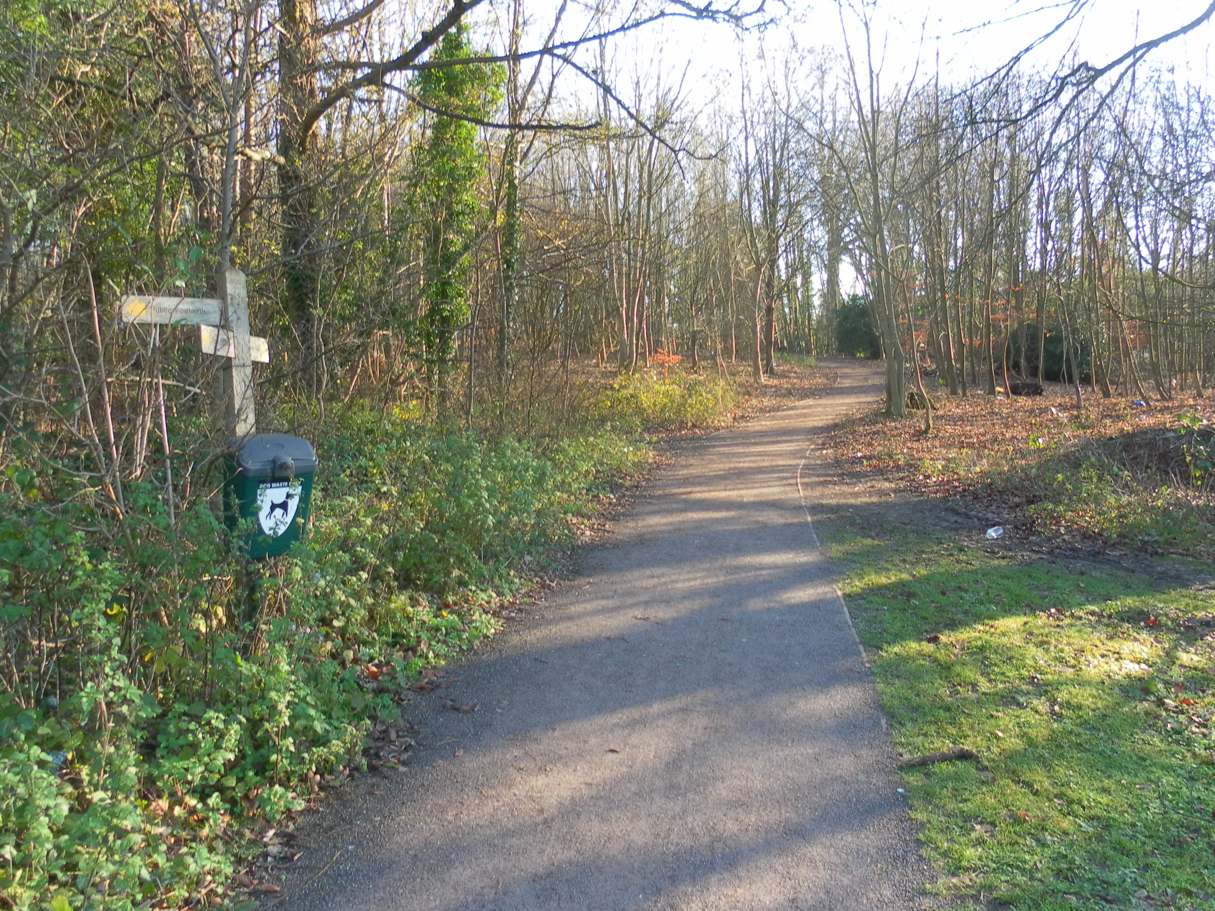
Footpath sign off School Hill - geograph.org.uk - 1705076.jpg - GeographBot
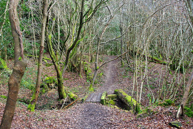
Footpath bridge - geograph.org.uk - 1751025.jpg - GeographBot

Footpath towards the A275 - geograph.org.uk - 1754792.jpg - GeographBot

Footpath through the grounds of Plumpton Agricultural College - geograph.org.uk - 1768856.jpg - GeographBot

Footpath crossing field towards Small's Wood - geograph.org.uk - 1777366.jpg - GeographBot

Footpath descending the northern escarpment of the South Downs - geograph.org.uk - 1772052.jpg - GeographBot

Footpath to Huggetts Furnace Farm by Dave Spicer.jpg - Geograph Update Bot

Footpath above East Brighton Golf Course leading to Warren Avenue, Woodingdean (August 2014) (2).JPG - Hassocks5489

Footpath above East Brighton Golf Course leading to Warren Avenue, Woodingdean (August 2014) (1).JPG - Hassocks5489

Northwestward view towards Brighton Racecourse from Footpath above East Brighton Golf Course (August 2014).JPG - Hassocks5489

Southwestward view across Kemptown from Footpath above East Brighton Golf Course (August 2014) (1).JPG - Hassocks5489

Southwestward view across Kemptown from Footpath above East Brighton Golf Course (August 2014) (2).JPG - Hassocks5489

Southwestward view across Kemptown from Footpath above East Brighton Golf Course (August 2014) (3).JPG - Hassocks5489

Southwestward view across Kemptown from Footpath above East Brighton Golf Course (August 2014) (4).JPG - Hassocks5489

Footpath to Aldrington Railway Station (October 2014) (1).JPG - Hassocks5489

Footpath to Aldrington Railway Station (October 2014) (2).JPG - Hassocks5489

Footpath to Aldrington Railway Station (October 2014) (3).JPG - Hassocks5489
Eastward view along Footpath in Coldean Wood, Coldean, Brighton (December 2012).JPG - Hassocks5489

Boundary Passage, forming the Boundary between Brighton and Hove (looking North) (October 2012).JPG - Hassocks5489

Boundary Passage, forming the Boundary between Brighton and Hove (looking North) (September 2018).JPG - Hassocks5489

Cat's-Creep at Canfield Close, Brighton (August 2013).JPG - Hassocks5489

Cat's-Creep between Tivoli Crescent and Hampstead Road, Preston Village, Brighton (October 2010).JPG - Hassocks5489

Footpath behind West Blatchington Primary School, Hangleton Way, Hangleton (April 2015).JPG - Hassocks5489

Footpath from Swanborough Flats, Whitehawk to Warren Road, Woodingdean (December 2013) (1).JPG - Hassocks5489

Footpath from Swanborough Flats, Whitehawk to Warren Road, Woodingdean (December 2013) (2).JPG - Hassocks5489

Footpath on South Downs above Hangleton (October 2017).JPG - Hassocks5489
Footpath at Hollingbury Hill (August 2013).JPG - Hassocks5489

Footpath leading to Hollingbury Fort, Hollingbury Hill (August 2013).JPG - Hassocks5489

Footpath on Hollingbury Hill, Brighton (February 2020).JPG - Hassocks5489

Top of Cat's-Creep, Richmond Road, Round Hill, Brighton (January 2011).JPG - Hassocks5489

Twitten behind Boundary Road, Portslade (November 2015).JPG - Hassocks5489

Twitten from Freehold Terrace to Saunders Park View, Brighton (February 2014) (2).JPG - Hassocks5489

Twitten from Freehold Terrace to Saunders Park View, Brighton (February 2014) (1).JPG - Hassocks5489

Twitten between Connaught Road and Belfast Street, Hove (May 2020).JPG - Hassocks5489

View down Boundary Passage, Brighton (July 2010).JPG - Hassocks5489

Start of Public Footpath from Drove Road, Woodingdean to Bevendean Recreation Ground (May 2020).JPG - Hassocks5489

Westward view along Drove Road, Woodingdean (May 2020).JPG - Hassocks5489

Path to Kingston - geograph.org.uk - 3892931.jpg - GeographBot

Approaching the end of the field - geograph.org.uk - 5022745.jpg - GeographBot

Public footpath to Ramslye Wood - geograph.org.uk - 5865280.jpg - GeographBot

Public footpath from Ramslye Wood, below High Rocks - geograph.org.uk - 5865302.jpg - GeographBot

Path crossing above Oxteddle Bottom - geograph.org.uk - 6157174.jpg - GeographBot