Wikimedi'Òc
Modes d'emploi

Cet album fait partie des albums
Cet album photos contient les sous-albums suivants :


A geographically correct county map of states traversed by the St. Louis, Iron Mountain and Southern Railway, and its connections (10143645096).jpg - Fæ
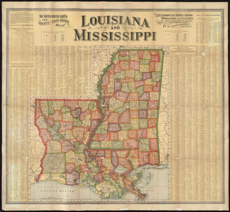
Scarboroughs new county and post office map of Louisiana and Mississippi with complete index giving population and location ; compiled from the latest government surveys and other authentic sources (9138828500).jpg - File Upload Bot (Magnus Manske)

Map of Wiskonsin Territory, compiled from the public surveys (14773865369).jpg - Ser Amantio di Nicolao

The National Publishing Company's new railroad, post-office and county map of North Dakota and South Dakota - with complete index of all post-offices and railroad stations, giving populations and (10841202634).jpg - Ww2censor

A draught of the Cherokee Country, on the west side of the Twenty Four Mountains, commonly called Over the Hills (18347938305).jpg - Enyavar

M.W. Bruce's map of Alaska (14775299438).jpg - Ser Amantio di Nicolao

Florida from the latest authorities (18343928752).jpg - Enyavar

Map illustrating the siege of Atlanta, Ga. by the U.S. forces, under command of Maj. Gen. W.T. Sherman, from the passage of Peach Tree Creek, July 19th, 1864 to the commencement of the movement upon (5121144964).jpg - Fæ

A plan of Port Royal in South Carolina.jpg - File Upload Bot (Magnus Manske)

1883 Map of Nebraska showing the Union Pacific Railroad land grant, by August Gast & Co, from the Digital Commonwealth - commonwealth 4m90fb271.jpg - Daderot

1809 Reichard Vereinigte Staaten von Nord-America.jpg - Mapmarks

New post office, township, county and railroad map of New England (9138827042).jpg - File Upload Bot (Magnus Manske)

1858 Chicago map by John Gemmell.jpg - Scewing

Map of the United States, showing by colors the area of freedom and slavery, and the territories whose destiny is yet to be decided, exhibiting also the Missouri compromise line, and the routes of (4578788503).jpg - Fæ

A map of the British and French dominions in North America, with the roads, distances, limits, and extent of the settlements, humbly inscribed to the Right Honourable the Earl of Halifax, and the (7118605365).jpg - Fæ

A map of the British and French dominions in North America - with the roads, distances, limits, and extent of the settlements, humbly inscribed to the Right Honourable the Earl of Halifax, and the (7118605149).jpg - Fæ

A map of the British colonies in North America, with the roads, distances, limits, and extent of the settlements, humbly inscribed to the Right Honourable the Earl of Halifax, and the other Right (7118605281).jpg - Fæ

A New and correct map of the British colonies in North America comprehending eastern Canada with the province of Quebec, New Brunswick, Nova Scotia, and the Government of Newfoundland, with the (4231157329).jpg - Fæ

A new and accurate map of the present war in North America (4231162161).jpg - Fæ

1880 map of the Eastern Railroad and principal connections.jpg - Pi.1415926535

1894 New York, New Haven and Hartford Railroad map.jpg - Pi.1415926535

Map of the Nez Perce Indian campaign Brig. Gen. O. O. Howard commanding (35048887571).jpg - Ser Amantio di Nicolao

The pictorial map, United States stamps (35048884061) (2).jpg - Ser Amantio di Nicolao

19th annual convention of the National Association of Real Estate Boards - at Tulsa, June 7 to June 11 in 1926 (20728526482) (2).jpg - Ser Amantio di Nicolao

Plan of the battle near Bushy Run, gained by Colonel Bouquet over the Delawares, Shawanese, Mingoes, Wyandots, Mohikons, Miamies, & Ottawas - on the 5th and 6th of August 1763 (17727274123).jpg - Ser Amantio di Nicolao

A new map of Nova Scotia, and Cape Britain - with the adjacent parts of New England and Canada, composed from a great number of actual surveys ... (17724451424).jpg - Ser Amantio di Nicolao

Plan of Fort le Quesne, built by the French at the fork of the Ohio and Monongahela in 1754 (18160081328).jpg - Enyavar

A general map of the middle British colonies in America - viz. Virginia, Maryland, Delaware, Pensilvania, New-Jersey, New-York, Connecticut, and Rhode-Island ... (18343922692).jpg - Ser Amantio di Nicolao

Map, exhibiting the position of the several lines connected with the settlement of the Ohio boundary question (14966321431).jpg - Scewing

Valley Forge, Pa. 1890 (14959055341).jpg - Ser Amantio di Nicolao

Carta geografica general de la republica Mexicana (14775304868).jpg - Ser Amantio di Nicolao

Primary triangulation between the Maryland and Georgia base-lines (14724250564).jpg - Ser Amantio di Nicolao

1870s map of the California Pacific Railroad.jpg - Pi.1415926535