Wikimedi'Òc
Modes d'emploi

Cet album fait partie des albums
Cet album photos contient les sous-albums suivants :


A map of North America, with the European settlements & whatever else is remarkable in ye West Indies, from the latest and best observations (4072644490).jpg - Junkyardsparkle

L'Amérique Septentrionale and Meridionale divisée en ses principales parties, ou sont distingués les vns des autres les estats suivant qu'ils appartiennent presentement aux François, Castillans, (4072627616).jpg - Fæ

Americae mappa generalis, secundum legitimas projectionis stereographicae regulas relationesque recentissimas et observationes sociorum Acad. reg. sc. quae Parisiis est aliorumque auctorum nec non (4072634080).jpg - Fæ

The north part of America , conteyning Newfoundland, new England, Virginia, Florida, new Spaine, and Noua Francia wth ye rich Iles of Hispaniola, Cuba, Iamaica, and Porto Rieco on the south, and upon (4071877317).jpg - Fæ

Carte des possessions angloises and françoises du continent de l'Amérique septentrionale = Kaart van de Engelsche en Fransche bezittingen in het vaste land van Noord America (4231921980).jpg - Fæ

A new, plaine, and exact map of America described by N.I. Visscher, and don into English, enlarged, and corrected, according to I. Blaeu, with the habits of the countries, and the manner of the cheife (4231156075).jpg - Fæ
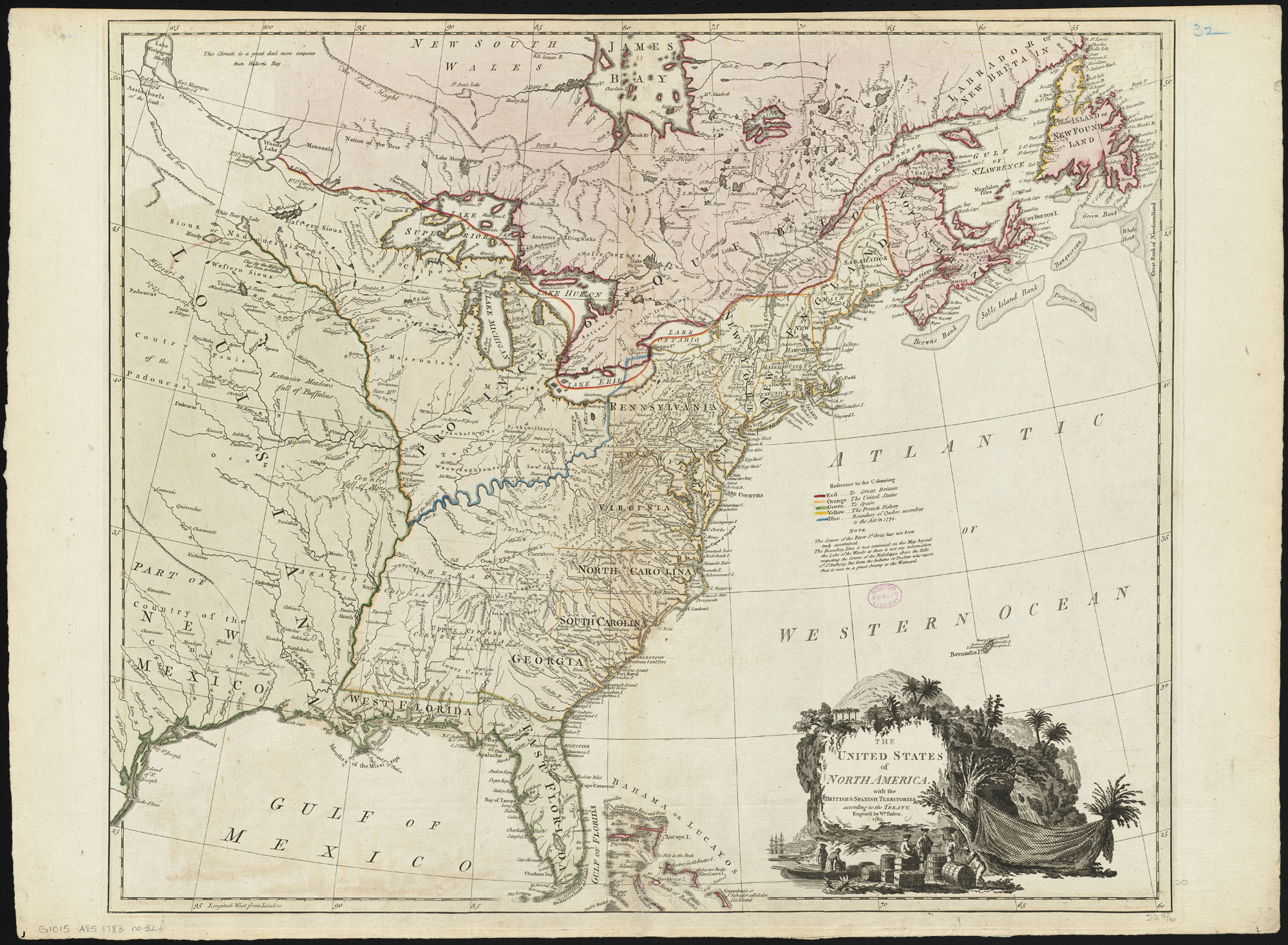
The United States of North America - with the British & Spanish territories according to the treaty (20118720014).jpg - Ser Amantio di Nicolao

L'Amérique divisée en ses principaux états (20715082306).jpg - Ser Amantio di Nicolao

A new chart of the West Indies, drawn from the best Spanish maps, and regulated by astronomical observations ; Plan of the road and port of La Vera Cruz (17726123864).jpg - Ser Amantio di Nicolao

A map of Canada and the north part of Louisiana with the adjacent countrys (18160884519).jpg - Ser Amantio di Nicolao

Chart of the Atlantic Ocean, with the British, French, & Spanish settlements in North America, and the West Indies - as also on the coast of Africa (Plate I. Claims of the French in 1756 are colored yellow) (18348544951).jpg - Ser Amantio di Nicolao

North America, from the French of Mr. d'Anville, improved with the back settlements of Virginia and course of Ohio, illustrated with geographical and historical remarks (17724446844).jpg - Ser Amantio di Nicolao

Chart containing the coasts of California, New Albion, and Russian discoveries to the north (18343055052).jpg - Ser Amantio di Nicolao

Chart comprizing Greenland with the countries and islands about Baffin's and Hudson's Bays (18348540811).jpg - Ser Amantio di Nicolao

Chart of the Atlantic Ocean, with the British, French, & Spanish settlements in North America, and the West Indies - as also on the coast of Africa (18348541541).jpg - Ser Amantio di Nicolao

A map of the discoveries made by the Russians on the North West coast of America (18347066505).jpg - Ser Amantio di Nicolao

Nord-u. Mittel-Amerika (14540241620).jpg - Ser Amantio di Nicolao