×

1845 map of Lowell, Massachusetts.png - Prosfilaes

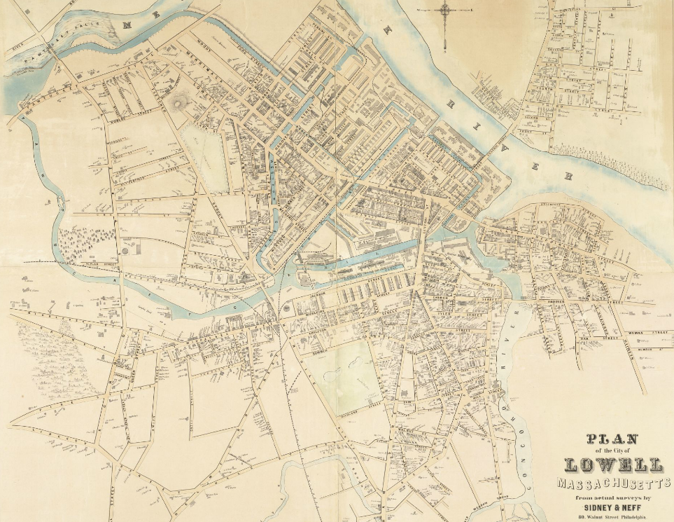
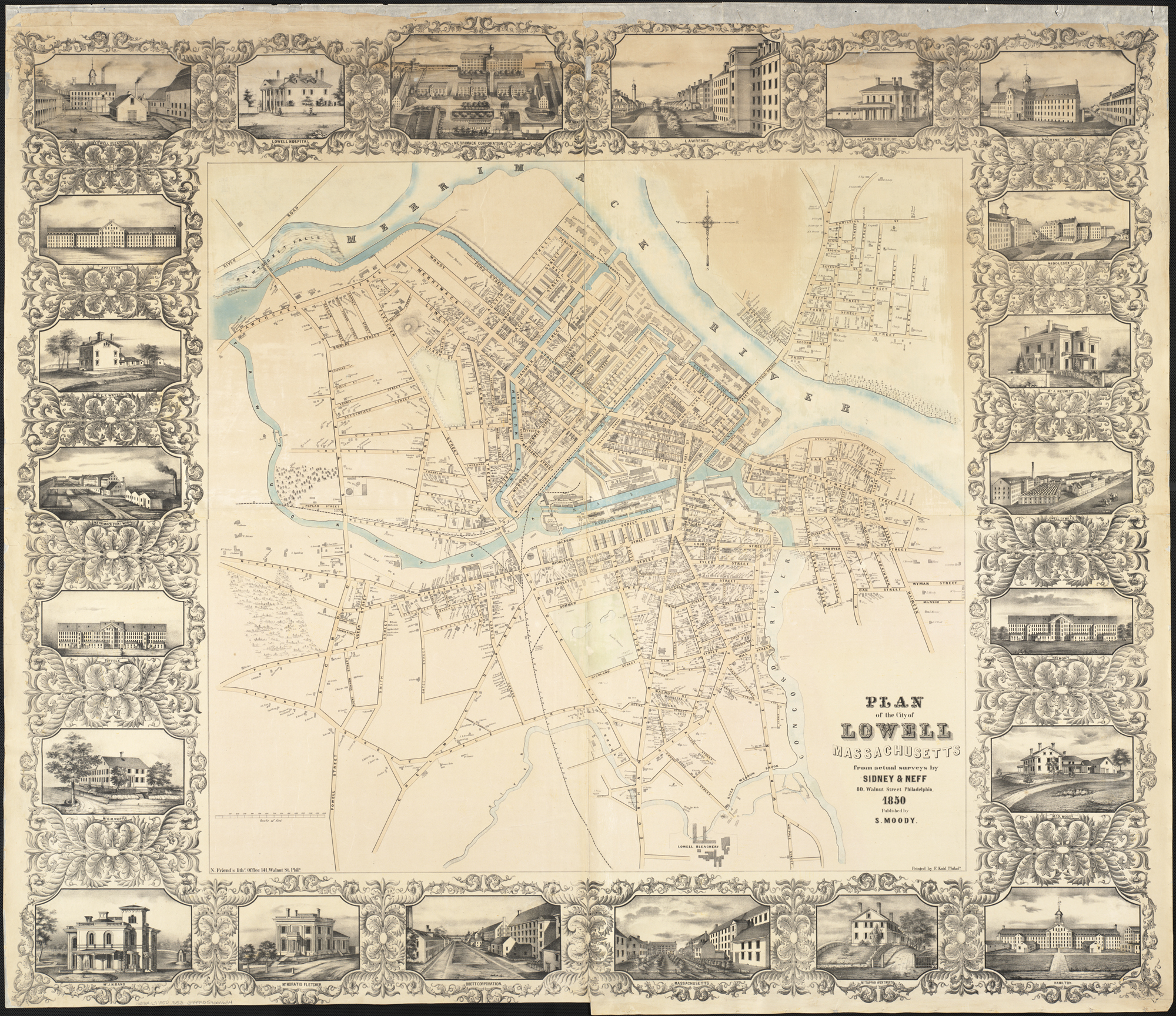
1850 Plan of the city of Lowell, Massachusetts BPL 11051.png - M2545

1968 map of proposed Lowell Connector Extension.jpg - CSZero~commonswiki

City of Lowell (9137935278).jpg - File Upload Bot (Magnus Manske)

Plan of land in Ayers New-City, Lowell, Mass. (4587187052).jpg - File Upload Bot (Magnus Manske)

Belvidere Park, Lowell, Mass. (4586561917).jpg - AntiCompositeNumber

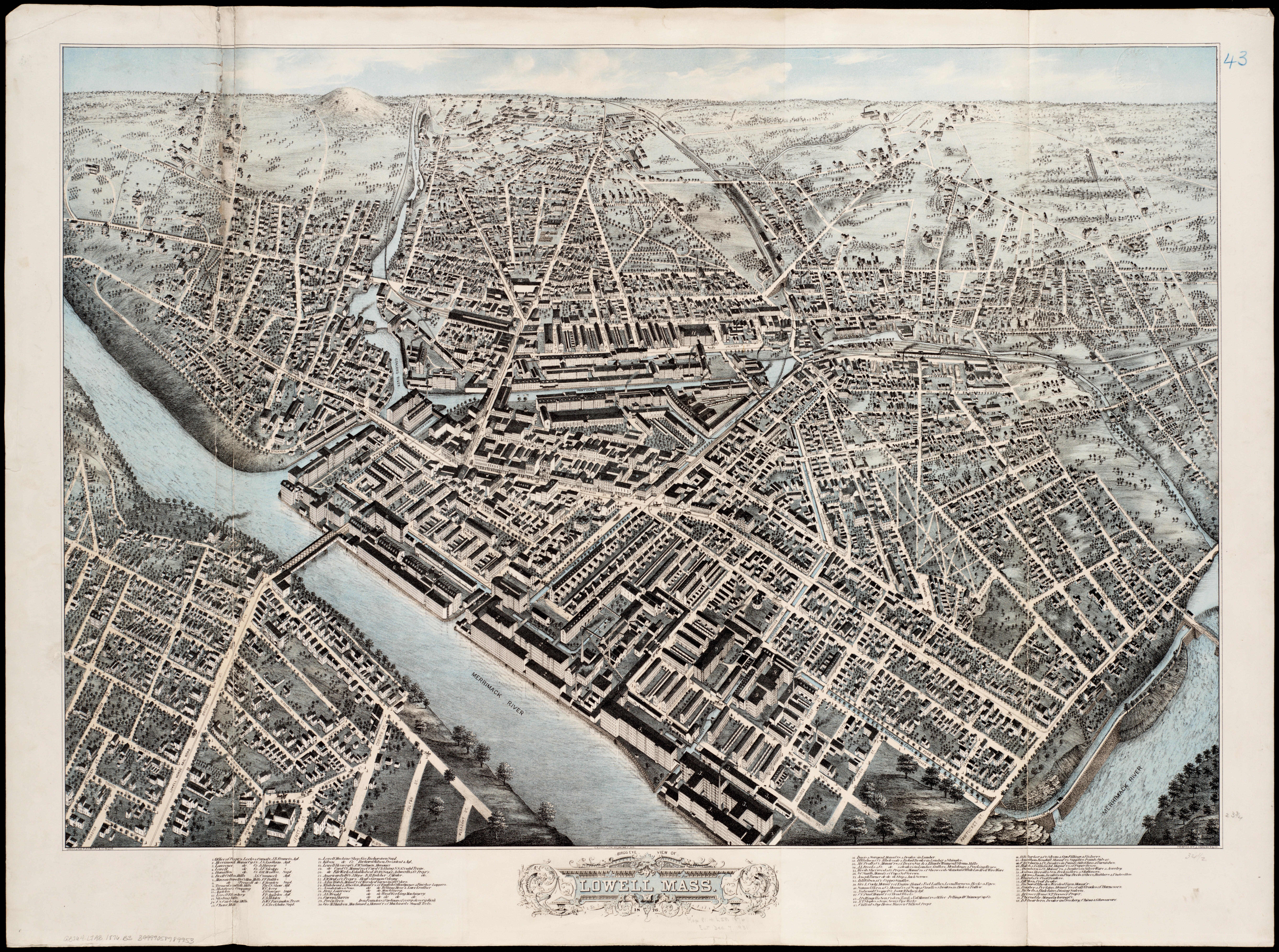
1876 bird's eye view of Lowell, Massachusetts; colored.jpg - Pi.1415926535

Plan of the city of Lowell, Massachusetts (2675392914).jpg - File Upload Bot (Magnus Manske)

View of Lowell, Mass. (2673757671).jpg - File Upload Bot (Magnus Manske)

1841 map of Lowell, Massachusetts.tiff - Fæ

1876 bird's eye view of Lowell, Massachusetts.tiff - Fæ

1846 sketch of proposed canal from Pawtucket Dam to Western Canal; Lowell, MA.tiff - Fæ

Map of the city of Lowell, Massachusetts LOC 2011592157.tif - Fæ

Map of the city of Lowell, Massachusetts LOC 2011592157.jpg - Fæ

Map of the city of Lowell - surveyed in 1841 by order of the municipal authorities LOC 2012592604.tif - Fæ

Map of the city of Lowell - surveyed in 1841 by order of the municipal authorities LOC 2012592604.jpg - Fæ

Lowell, the City Beautiful on the Merrimack.jpg - JPRiley

1832 Plan of the town of Lowell and Belvidere Village, by Benjamin Mather, from the Digital Commonwealth - commonwealth 9s161d16c.jpg - Daderot

1904 City of Lowell, by George Bowers, Geo. H. Walker & Co., from the Digital Commonwealth - commonwealth 3f463719x.jpg - Daderot

Atlas of Middlesex County, Massachusetts, by Geo. H. Walker & Co., 1889, from the Digital Commonwealth - 76 commonwealth 1j92k2337 image access full.jpg - Daderot

Atlas of Middlesex County, Massachusetts, by Geo. H. Walker & Co., 1889, from the Digital Commonwealth - 77 commonwealth 1j92k2337 image access full.jpg - Daderot
❮
❯


