Wikimedi'Òc
Modes d'emploi

Cet album fait partie des albums
Cet album photos contient les sous-albums suivants :


Map of Fort Lawton, Washington - NARA - 137930721 (page 1).jpg - US National Archives bot

Anderson's new map of the county of King state of Washington, 1894 LOC 2012593133.jpg - Fæ

Anderson's New Map of the County of King, State of Washington, 1894 (MOHAI 13246).jpg - BMacZeroBot

Consolidated Compilation of New Railroad Data in the Vicinity of Washington in vicinity of Seattle - NARA - 135841201.jpg - US National Archives bot

Foster, Washington, plat map, circa 1905 (MOHAI 13447).jpg - BMacZeroBot
King County transportation map, September 1912 (MOHAI 1540).jpg - Jmabel

Sanborn Fire Insurance Map from Kirkland, King County, Washington. LOC sanborn09213 001.jpg - Fæ
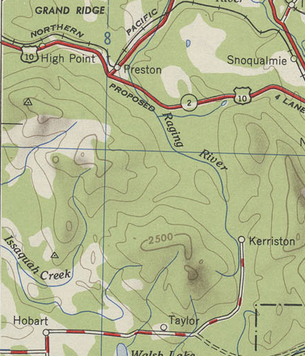
WA18 topo map 1948.jpg - Admrboltz

Map of Fort Lawton, Washington - NARA - 137930721 (page 2).jpg - US National Archives bot

Map of Fort Lawton, Washington - NARA - 137930724.jpg - US National Archives bot