×
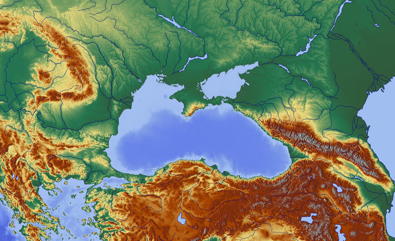
Schwarzes Meer und Umgebung.png - Kamel15
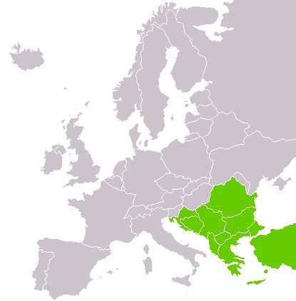
Southeastern-Europe-map.png - Ronline~commonswiki
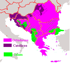
Relixonnosbalcanes.PNG - Jariego~commonswiki

Sueosteuropa.png - Huhsunqu

Sueosteuropa2.png - Sven-steffen arndt

Landen in Zuidoost-Europa.PNG - SieBot

Petachiah.png - Briangotts

Southeastern Europe.png - Olahus

LocationSoutheasternEurope.PNG - Akigka

Stability Pact For Southeastern Europe Map.svg - Рагин1987

South-eastern Europe 1040.jpg - Cplakidas

Ottoman Empire1801.jpg - Spiridon Ion Cepleanu
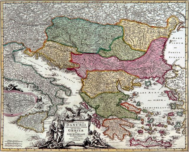
J. B. Homann - Danubii cum adiacentibus regnis.jpg - Strainu

Justus Danckerts - Regni Hungariae, Graeciae et Moreae... Transilvaniae, Valachiae, Moldaviae.jpg - Strainu

Südosteuropa 3.JPG - Seader

Balkan peninsula, geographic study, distances.svg - Minestrone

Paleo-Balkan languages in Eastern Europe between 5th and 1st century BC - Romanian.jpg - Spiridon Ion Cepleanu

Central and Eastern Europe around 650 AD.png - Hxseek

BASA-121K-1-367-14-Balkan Peninsula Map.jpeg - BASA Спасимир

Balkans Historical Aspirations Map 1912.png - Ömer Berkay
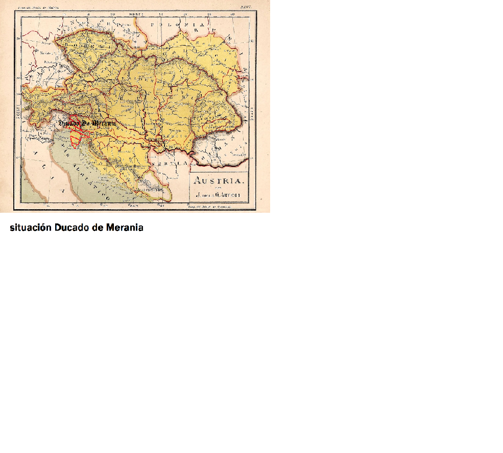
Ducado.png - Mnullamas

2015 Western Balkans Summit.png - MirkoS18

UBBasel Map Balkanhalbinsel Italien Osmanisches Reich Südosteuropa 1686-1715 Kartenslg Mappe 250-10.tif - Basel University Library
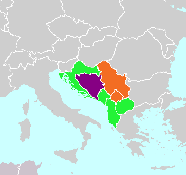
Adriatic Charter Map.png - Aleksamil

Balkan general map.jpg - Bramfab
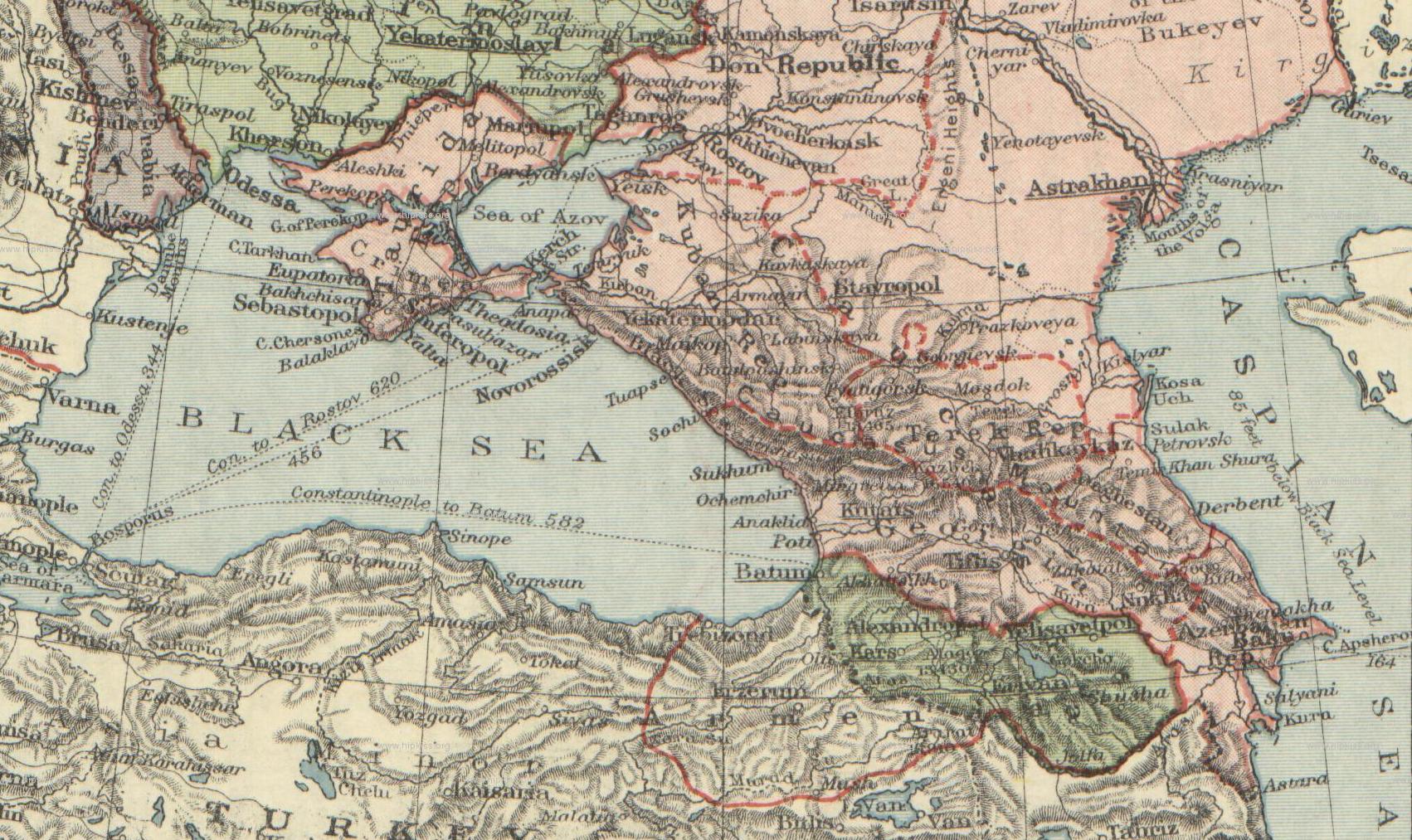
London-geographical-institute the-peoples-atlas 1920 the-partition-of-russia-in-europe 3012 3992 600 cropped.JPG - Geagea

Outline map of Slovenia, Croatia, and Bosnia and Hercegovina. LOC 2005626534.jpg - Fæ

Ethnographic-map-of-the-Balkans-1918.jpg - Dianelos

Blank Map of Aegean Sea.svg - Sdaubert

Balkans 1881-es.svg - Rowanwindwhistler

Balkans 1856-es.svg - Rowanwindwhistler

Balkans 1878-es.svg - Rowanwindwhistler

Mittelmeer-Lander nach dem 4. Kreuzzuge (1204).jpg - Kun Kipcsak
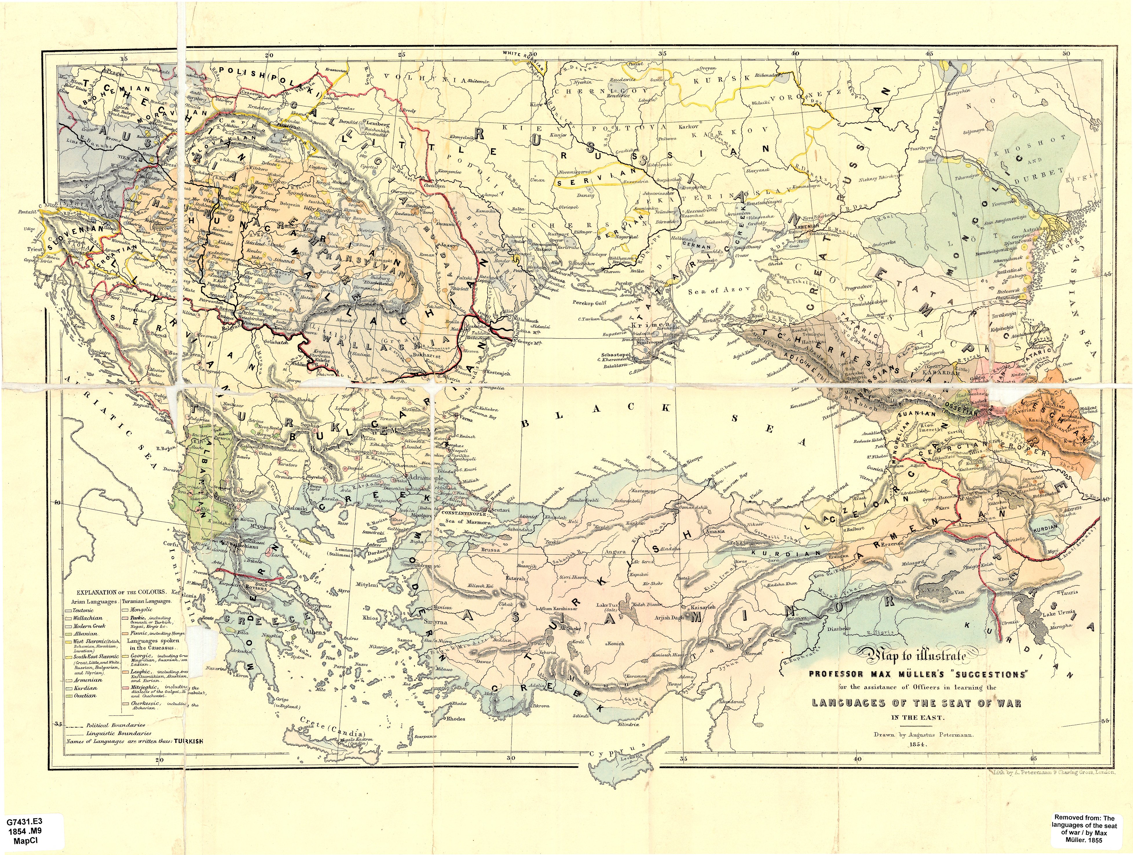
Linguistic map of Eastern Europe, Max Müller, 1854.jpg - ZxcvU

Geographic region of Balkans.png - Golden

VeľkáVýchodnáSchízma.png - ScholastikosSVK

Југоисточна Европа.jpg - InNeed95

2021-05-05 Donau.jpg - Bernhard Uff dem Sand

Eastern Federation map.png - Evan16
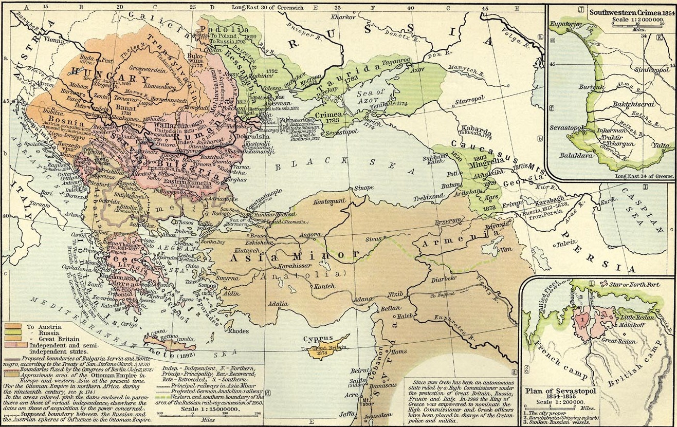
The collapse of the Ottoman Empire.jpg - Ориенталист

Southern Europe (definitions).png - Iktsokh

Mapa.Igel greziarra.pdf - Ilazki Odriozola

The division of Europe by cardinal directions.Center of Europe near Vilnius.png - Germash19

The division of Europe by cardinal directions.Center of Europe near Vilnius. Caucasus border.png - Germash19

NI4OS Europe partner countries.png - Iktsokh

Diogo Homem 1563 (Black Sea).jpg - Geagea

Map of Greater Greece (Greek Mandate, Zone of the Straits) Southeast Europe and Asia Minor 1922.jpg - Artanisen

Greater Greece Map Detail by John Bartholomew 1920.jpg - Artanisen
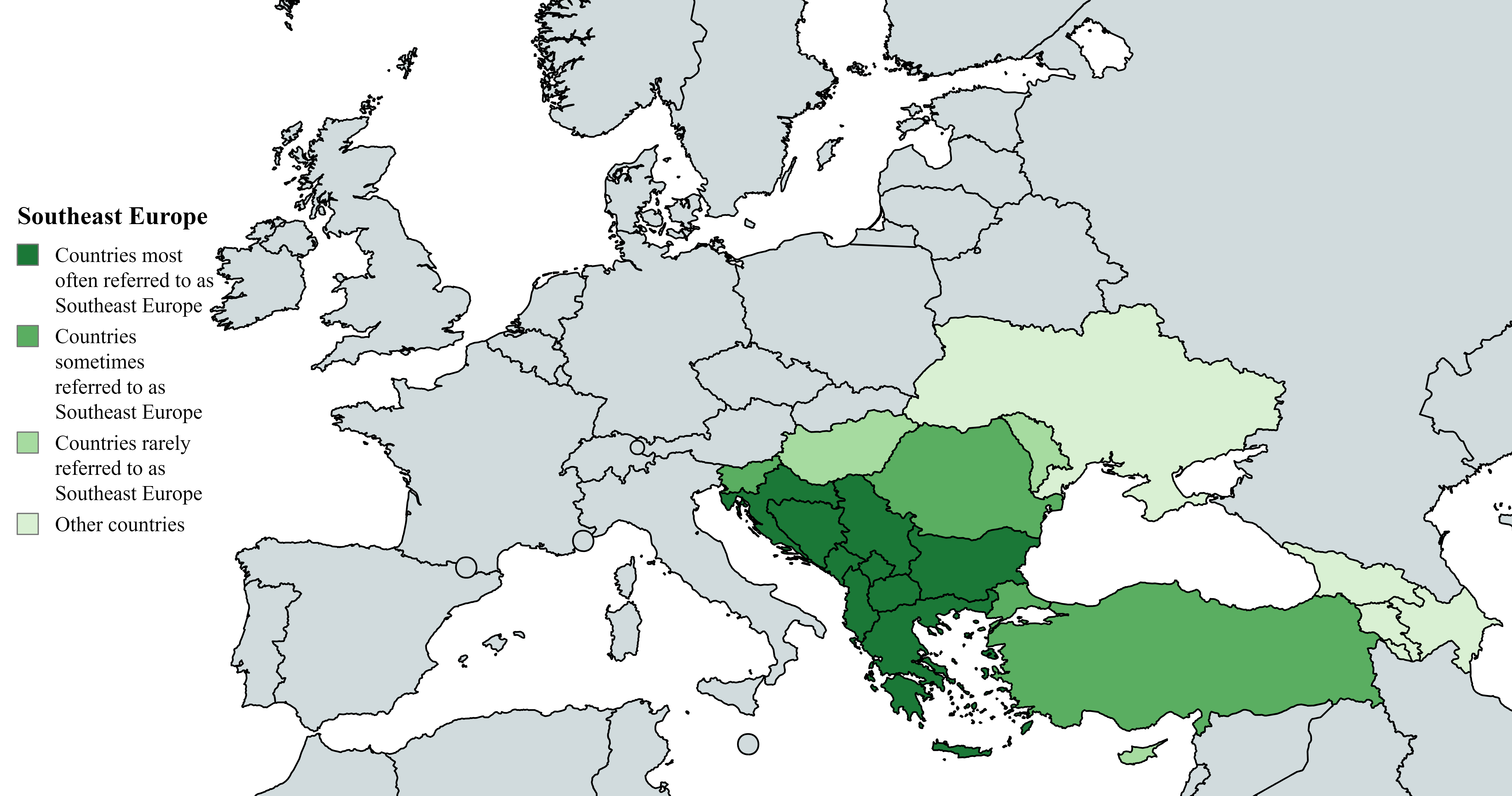
Southeast Europe (definitions).png - Iktsokh

Greater South Europe.png - Iktsokh

Карта Османской империи. После 1770.webp - Барабас

2025 Southeast Europe Boycott map.png - Homuraexee
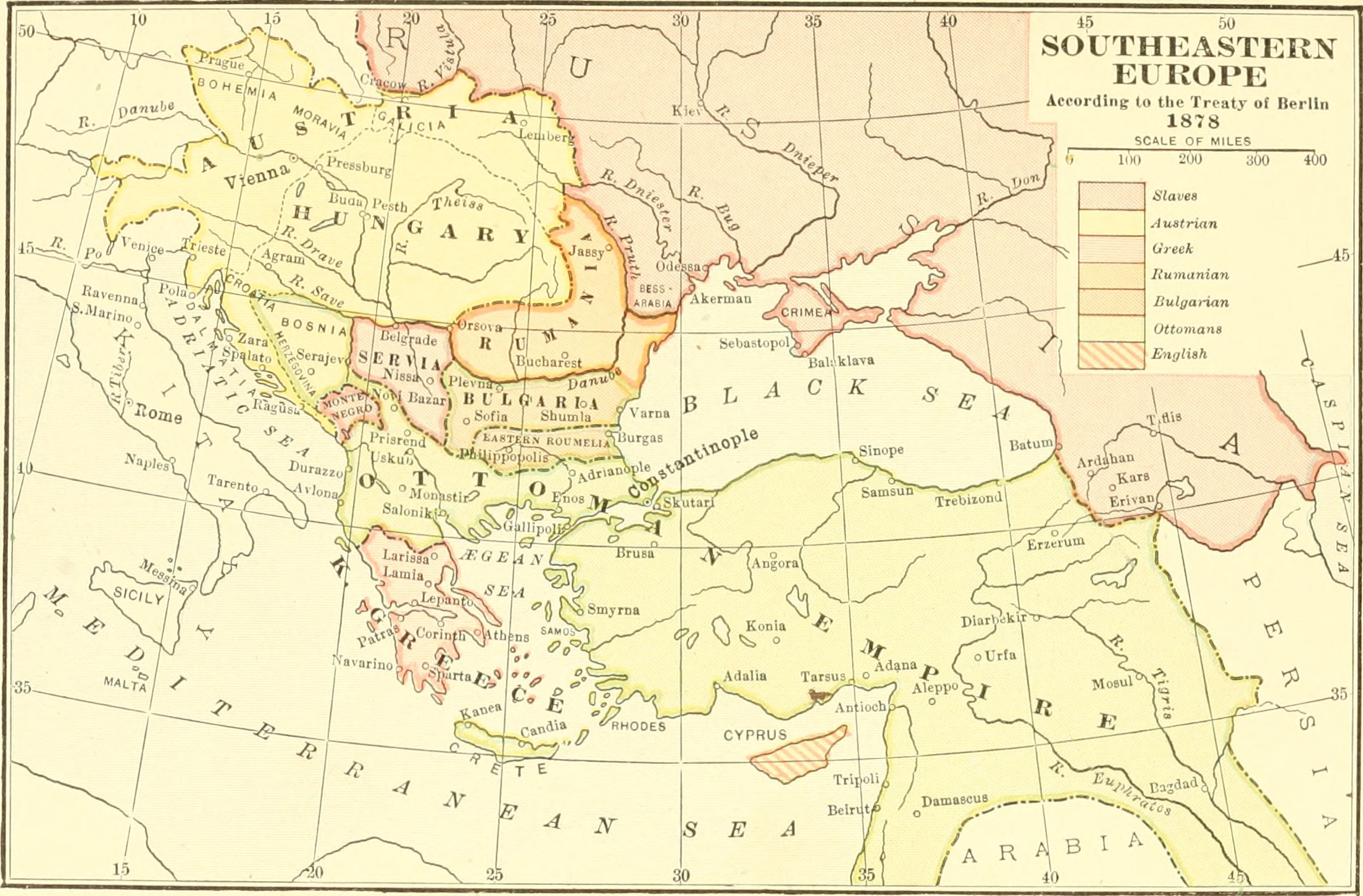
Mediæval and modern history (1920) (14773848065).jpg - SteinsplitterBot

Balkan Games Participants.png - Iktsokh

Potential enlargement of the EU in Southeast Europe.png - Iktsokh

Limes Orientalis 337 AD png.PNG - Cristiano64
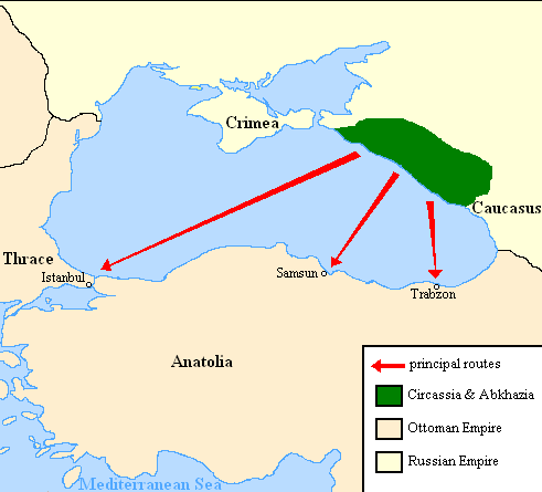
Expulsion map of the Circassians in 19th century.PNG - Irānshahr

Trebizond-1300.png - Qualimac

Map of the Byzantine Empire (867-1081)-es.svg - Rowanwindwhistler

Aconitum distribution map Aconitum nasutum.png - Nalagtus
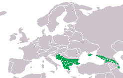
Triturus karelinii dis.png - Yuriy75
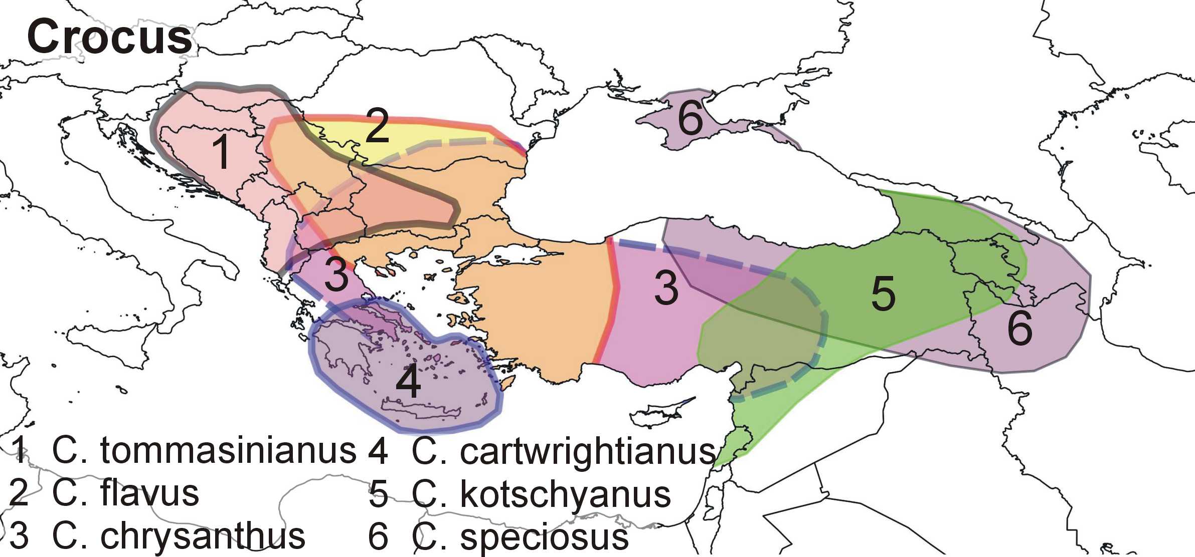
Crocus distribution map balkan and minor asia.jpg - Nalagtus

Golden jackal distribution in Europe 2015.png - William Harris

Azerbaijan and Georgia export electricity to Southeast Europe.png - Iktsokh
❮
❯


