Wikimedi'Òc
Modes d'emploi

Cet album fait partie des albums
Cet album photos contient les sous-albums suivants :
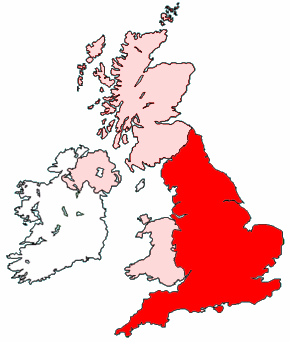


Map of England within the United Kingdom.png - Wighson
Localization of England.PNG - Broc
UK england.png - Ningyou
Wielka Brytania Anglia.png - Maksim
Location of the Kingdom of England1.PNG - ChongDae

LocationEngland.svg - McSush

Europe location ENG.png - Beao

British Isles England.svg - Cnbrb

BIThumbMap ENG.png - Ras52

Grammar school ballots in England.png - Kanguole
Uk map england.png - UKPhoenix79
Uk map england green.png - UKPhoenix79
Uk map only england.png - UKPhoenix79

Uk map home nation england.png - UKPhoenix79

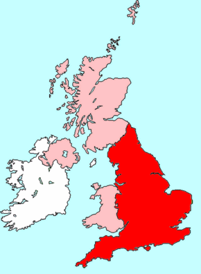
England Map British Isles.PNG - Rab-k

England Map Europe.PNG - Rab-k

England Map EU.PNG - Rab-k
LocationEngland.png - Arz
England UK.png - MichiganCharms
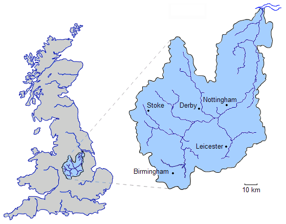
River Trent.png - Jrockley

Europe location ENG2.png - Beao

Allenton - City of Derby dot.png - File Upload Bot (Magnus Manske)

Barnard Castle - Durham dot.png - File Upload Bot (Magnus Manske)

Stockton-on-Tees dot.png - File Upload Bot (Magnus Manske)

St Neots - Cambridgeshire dot.png - File Upload Bot (Magnus Manske)

Derby - City of Derby dot.png - File Upload Bot (Magnus Manske)
Bedford - Bedfordshire dot.png - File Upload Bot (Magnus Manske)

Cirencester - Gloucestershire dot.png - File Upload Bot (Magnus Manske)

Nottingham - Nottinghamshire dot.png - File Upload Bot (Magnus Manske)

Ross-on-Wye - Hereford and Worcester dot.png - File Upload Bot (Magnus Manske)

River Roch map.svg - File Upload Bot (Magnus Manske)

England location map.png - Lukasb1992

LocationUKEngland.svg - Keepscases
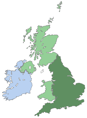
England in Great Britain simple.png - Hayden120

England location map-Premier-League-2010-11.png - Ottobdn
English loyalties 1216.png - Hchc2009
Northern England location map.PNG - Mahahahaneapneap
Europe location ENG alt.png - MGA73bot2

Map-Craven-Deaneries.jpg - Kildwyke

North West England (European Parliament constituency).svg - MGA73bot2
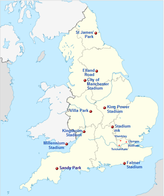
Rwc15 venues.png - Sincape

England and Cornwall in the British Isles.jpg - Eopsid

EnglandPoliceAvonSomerset.png - MGA73bot2

England in the UK and Europe.svg - Rob984

Godalming Hundred.png - Aetheling1125
Map of England within the UK.png - OgreBot

Map of England within the United Kingdom.svg - Peeperman
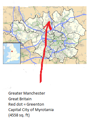
Location of Myrotania.png - Tommy-g-98
Midlands England location map.png - Jokulhlaup
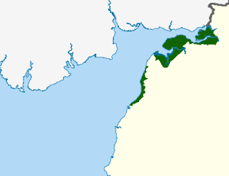
Solway Coast AONB.png - Stcuthbertsport

Yorkshire and the East Midlands.svg - Wereldburger758

Lancashire Yorkshire.jpg - Opzwartbeek

Location of clifton ings, York, UK.png - Tommy animator
PowSowsRU.png - CommonSupporter
EnglandNorthYorkshireFireService.png - *thing goes
Map of Midlands Electricity Board area.png - *thing goes

Locationpottericarr.png - Tommy animator

Snarestonemapok.png - СветланаЛ

England south west map- Cornwall to Berkshire.svg - Offnfopt
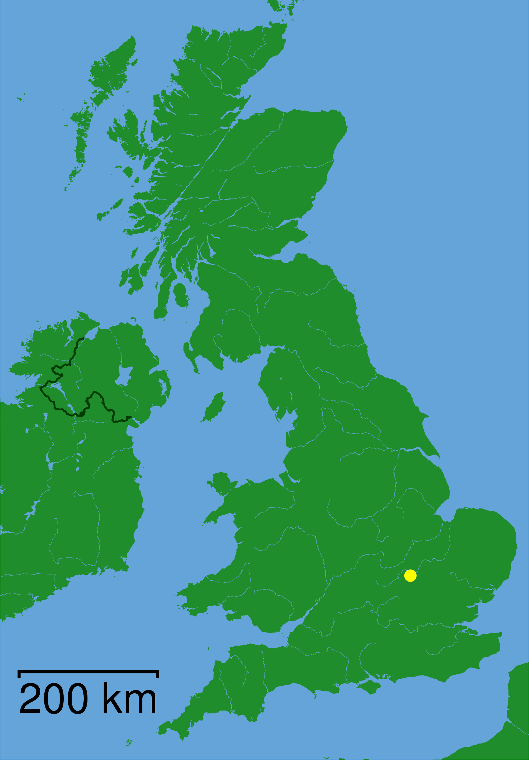
Location of England.png - Deeksha22

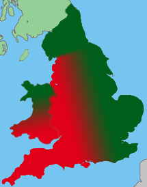
Imperial German Invasion Plan Landing Sites.png - Factotem

Newsome (ward).svg - Brianbbrian

Newsome (1982-2004, ward).svg - Brianbbrian

Saltburn - North Yorkshire dot.png - Arlene the bean

Fitwalter Essex manors.png - Fortuna imperatrix mundi
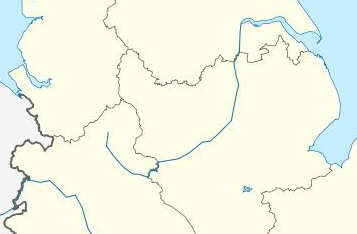
EnglishNorthMidlandsCountiesMap.png - Chessrat

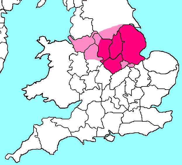
Home Counties of England map.png - Graceimagery

Mansfield-parishes.png - The Equalizer

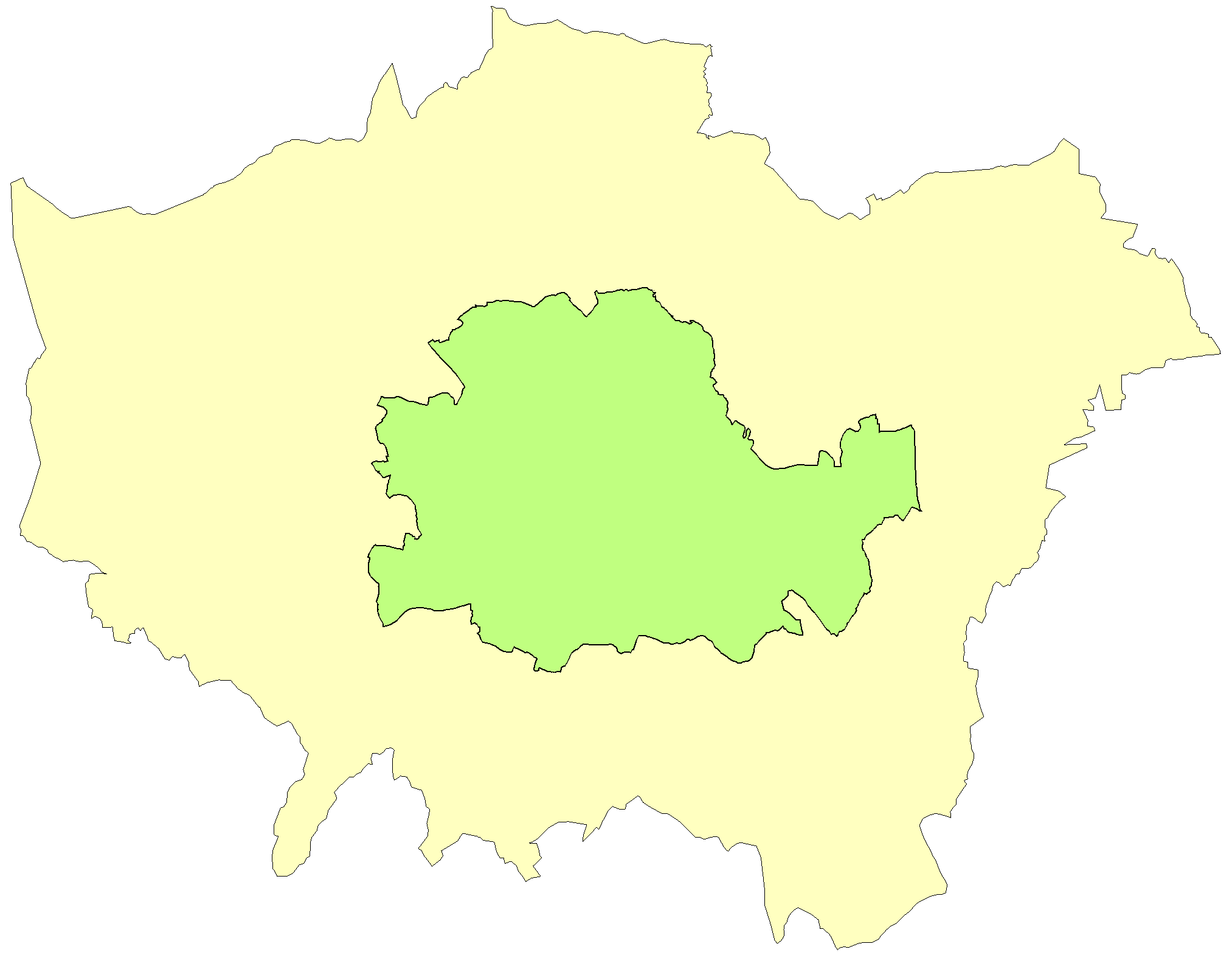
Minworth map.png - Natean

West Yorkshire Combined Authority among combined authorities in England map, 2021.svg - FollowTheTortoise

North East Combined Authority among combined authorities in England map, 2021.svg - FollowTheTortoise

West of England Combined Authority among combined authorities in England map, 2021.svg - FollowTheTortoise

West Midlands Combined Authority among combined authorities in England map, 2021.svg - FollowTheTortoise

Tees Valley Combined Authority among combined authorities in England map, 2021.svg - FollowTheTortoise

South Yorkshire Combined Authority among combined authorities in England map, 2021.svg - FollowTheTortoise

Liverpool City Region Combined Authority among combined authorities in England map, 2021.svg - FollowTheTortoise

North of Tyne Combined Authority among combined authorities in England map, 2021.svg - FollowTheTortoise

Greater Manchester Combined Authority among combined authorities in England map, 2021.svg - FollowTheTortoise

Cambridgeshire and Peterborough Combined Authority among combined authorities in England map, 2021.svg - FollowTheTortoise

Map of Arun (Region).png - Micelo of Pau

Map of Arun (region).png - Micelo of Pau

Rushcliffe Parish map Normanton-on-Soar.png - Fitzwilliam2020
London local government 1961-1971.png - MRSC

Essex local government 1961-1971.png - MRSC

Lancs 1961.png - MRSC

Ketton rural 1971.gif - MRSC

Oakham rural 1971.gif - MRSC

Uppingham rural 1971.gif - MRSC
England locator map (blank).png - Lephilologueserbe

Midlands.png - Posadism420
Blakenhall Ward - Wolverhampton.png - BritishSikh

Yorkshire Map.png - RealCounties

Devon and Torbay CCA Locator.svg - LocalTrainTales