Wikimedi'Òc
Modes d'emploi

Cet album fait partie des albums
Cet album photos contient les sous-albums suivants :


Dry stone wall - geograph.org.uk - 1439523.jpg - GeographBot

Iona bend 14744d.jpg - Josi~commonswiki

Muchallscastledrystone.jpg - Liftarn

Village Bay St Kilda1.jpg - Rémih

Dry stone walling St Kilda1.jpg - Rémih

Village Bay St Kilda2.jpg - Rémih

Village Bay St Kilda3.jpg - Rémih

Sheep Village Bay St Kilda.jpg - Rémih

Conachair Village Bay St Kilda.jpg - Rémih

Village Bay St Kilda8.jpg - Rémih

Dùn St Kilda.jpg - Rémih

Bothy St Kilda.jpg - Rémih

Village Bay St Kilda11.jpg - Rémih

Hatton drystonewall.jpg - Jacobfinn

Glenelg Bay - geograph.org.uk - 8431.jpg - GeographBot

Dry stone wall in Glean Lichd - geograph.org.uk - 27972.jpg - GeographBot

View toward Brimms Ness, Caithness - geograph.org.uk - 1340.jpg - Cropbot

Aultbea Post Office - geograph.org.uk - 53942.jpg - GeographBot

Dry Stane Dyke at entrance to wind farm - geograph.org.uk - 33124.jpg - GeographBot

Drystone wall next to the burn which flows from Loch na Moine Buige to Fionn Loch - geograph.org.uk - 52239.jpg - GeographBot

Dry stone wall - geograph.org.uk - 80590.jpg - GeographBot

Dunnet Bay - Millennium Dyke - geograph.org.uk - 89494.jpg - GeographBot

Birkenhill - geograph.org.uk - 99630.jpg - GeographBot

Boundary wall - geograph.org.uk - 109635.jpg - GeographBot

Isle of Muck - the track to Gallanach - geograph.org.uk - 89490.jpg - GeographBot

Boundary Wall in Bornesketaig - geograph.org.uk - 126886.jpg - GeographBot

Harris Drystone Dyking - geograph.org.uk - 129896.jpg - GeographBot

Drystane Dyke and Trees - geograph.org.uk - 131290.jpg - GeographBot

Follow the Plough - geograph.org.uk - 138075.jpg - GeographBot

Drystone dyke, Balnabruich - geograph.org.uk - 149787.jpg - GeographBot

By Achkeepster - geograph.org.uk - 157862.jpg - Rotatebot

Lichen covered old dyke, Sothers, Hermaness, Unst - geograph.org.uk - 116642.jpg - GeographBot

Bay of Puldrite - geograph.org.uk - 172790.jpg - GeographBot

Drystane Enclosure and Trees - geograph.org.uk - 174382.jpg - GeographBot

Ruined wall - geograph.org.uk - 180860.jpg - GeographBot

Aberdeen-Angus on the moor - geograph.org.uk - 224232.jpg - GeographBot

Dry-stane dyke - geograph.org.uk - 224226.jpg - GeographBot

Field Boundary Dyke - geograph.org.uk - 220490.jpg - GeographBot

Glen Dessarry - geograph.org.uk - 219146.jpg - GeographBot

Dry stone dyke - geograph.org.uk - 236110.jpg - GeographBot

Wall above Long Phillip Burn - geograph.org.uk - 258850.jpg - GeographBot

County Boundary - geograph.org.uk - 271694.jpg - GeographBot

Dry-stane dyke - geograph.org.uk - 278885.jpg - GeographBot

Drystone Wall by the Roadside - geograph.org.uk - 276825.jpg - GeographBot

Drystone Wall and Pastureland - geograph.org.uk - 300251.jpg - GeographBot

Dry stane dyke - geograph.org.uk - 363641.jpg - GeographBot

Dry-Stone Dyke - geograph.org.uk - 378960.jpg - GeographBot

Dry Stane Dyke - geograph.org.uk - 377753.jpg - GeographBot
Forest Edge - geograph.org.uk - 378850.jpg - GeographBot

Into the Forest - geograph.org.uk - 378930.jpg - GeographBot

Stone dyke running along the top of the raised beach - geograph.org.uk - 379073.jpg - GeographBot

Dry stone dyke - geograph.org.uk - 382096.jpg - GeographBot

Mossy stone wall - geograph.org.uk - 408831.jpg - GeographBot

Moss of Rothes - geograph.org.uk - 424916.jpg - GeographBot

Dry stone wall at Culkein - geograph.org.uk - 449378.jpg - GeographBot

Scolty from the south west - geograph.org.uk - 447718.jpg - GeographBot

A Roadside Garden - geograph.org.uk - 452195.jpg - GeographBot

Kirktown Mill - geograph.org.uk - 461325.jpg - GeographBot

Stone Wall - geograph.org.uk - 468075.jpg - GeographBot

Caithness dry stone wall - geograph.org.uk - 479416.jpg - GeographBot

Dry stane dyke, and fire advice - geograph.org.uk - 478526.jpg - GeographBot

Stonemason at work - geograph.org.uk - 479834.jpg - GeographBot

Dry stone wall topped with vertical slabs. - geograph.org.uk - 480425.jpg - GeographBot

Tangle dykes, near Grobust - geograph.org.uk - 488902.jpg - GeographBot

Dyke Junction - geograph.org.uk - 495266.jpg - GeographBot

Boundary Dyke - geograph.org.uk - 516135.jpg - GeographBot

A drystane dyke on Kirk Hill - geograph.org.uk - 522020.jpg - GeographBot

Ruined Drystane-Dyke - geograph.org.uk - 521302.jpg - GeographBot

Dry stone wall - geograph.org.uk - 544657.jpg - GeographBot

Sheepfold on Culmark Hill - geograph.org.uk - 553912.jpg - GeographBot

Road and Drystane Dyke - geograph.org.uk - 573052.jpg - GeographBot

Dry Stane Wall - geograph.org.uk - 598122.jpg - GeographBot

Dry Stane Wall - geograph.org.uk - 598140.jpg - GeographBot

Dry Stone Wall at Easter Tulloch - geograph.org.uk - 599575.jpg - GeographBot

Dry stane dyke and lambing pens - geograph.org.uk - 592557.jpg - GeographBot

Roadside, Newhall, Black isle - geograph.org.uk - 612626.jpg - GeographBot

The top of the track - geograph.org.uk - 620570.jpg - GeographBot

Drystane Dyke at Cuidrach - geograph.org.uk - 639632.jpg - GeographBot

Substantial Dike - geograph.org.uk - 639701.jpg - GeographBot

Drystane Dyke - geograph.org.uk - 659323.jpg - GeographBot

Drystane Wall at Greshornish - geograph.org.uk - 658613.jpg - GeographBot

Drystane Dyke and track over moorland - geograph.org.uk - 670121.jpg - GeographBot

Dyke and track leading to Scotston Farm - geograph.org.uk - 676493.jpg - GeographBot

Magnificent slate dyke - geograph.org.uk - 676632.jpg - GeographBot

Moss covered wall by track to Scotston - geograph.org.uk - 676506.jpg - GeographBot

Slate drystane dyke - geograph.org.uk - 676635.jpg - GeographBot

Dry Stane Dyke and Farmland near Couston - geograph.org.uk - 734074.jpg - GeographBot

Drystone Wall and Trees - geograph.org.uk - 731051.jpg - GeographBot

Drystone Wall, Fence and Road - geograph.org.uk - 746775.jpg - GeographBot

Dilapidated drystane dyke - geograph.org.uk - 751380.jpg - GeographBot

Dry stone Wall - geograph.org.uk - 756862.jpg - GeographBot

Drystane dyke - geograph.org.uk - 765527.jpg - GeographBot

Drystane dyke - geograph.org.uk - 767617.jpg - GeographBot

Drystane dyke with added fence - geograph.org.uk - 765023.jpg - GeographBot

Drystone Wall in Glen Uig - geograph.org.uk - 763091.jpg - GeographBot

Drystone dyke with sheep damage - geograph.org.uk - 765522.jpg - GeographBot

Burn goes through gap in wall - geograph.org.uk - 776541.jpg - GeographBot

Dilapidated dry stane dyke - geograph.org.uk - 771156.jpg - GeographBot

Dilapidated dry stane dyke - geograph.org.uk - 771160.jpg - GeographBot

Dry stane dyke - geograph.org.uk - 771222.jpg - GeographBot

Deer fence on Dunfallandy Hill - geograph.org.uk - 782167.jpg - GeographBot

A drystane dyke at Hartsgarth Flow - geograph.org.uk - 793710.jpg - GeographBot

NW Shore of Loch Duntelchaig - geograph.org.uk - 971144.jpg - GeographBot

A drystane dyke on Fastheugh Hill - geograph.org.uk - 1134672.jpg - GeographBot

All The Way Down - geograph.org.uk - 1199692.jpg - GeographBot

Black House Museum - geograph.org.uk - 1346139.jpg - GeographBot

A drystane dyke on Sunnyside Hill - geograph.org.uk - 1401644.jpg - GeographBot

A drystane dyke on Dirrington Little Law - geograph.org.uk - 1414804.jpg - GeographBot

A dyke leading to Dirrington Little Law - geograph.org.uk - 1414847.jpg - GeographBot

Dry stone wall - geograph.org.uk - 1427660.jpg - GeographBot

Dilapidated dry stone wall - geograph.org.uk - 1437841.jpg - GeographBot

Dry stone wall - geograph.org.uk - 1436986.jpg - GeographBot

Dry stone wall - geograph.org.uk - 1437038.jpg - GeographBot

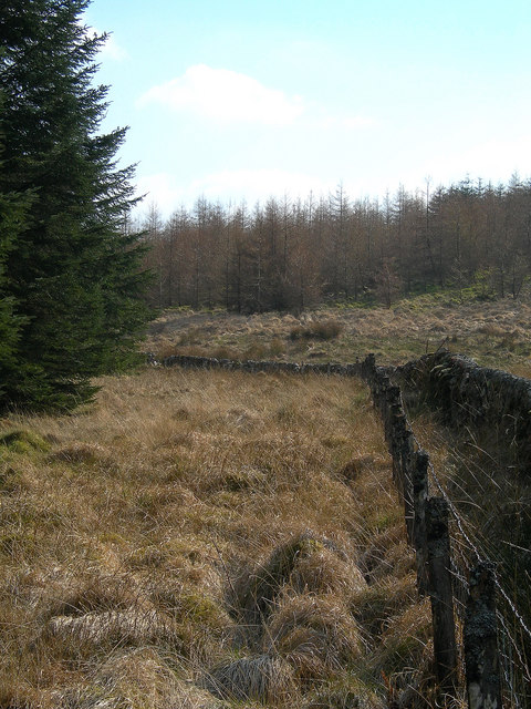
Dry stone wall at edge of forest - geograph.org.uk - 1439497.jpg - GeographBot

Dry stone wall climbing up Speirean Ruadh - geograph.org.uk - 1431904.jpg - GeographBot

A drystane dyke on Black Law - geograph.org.uk - 1494094.jpg - GeographBot

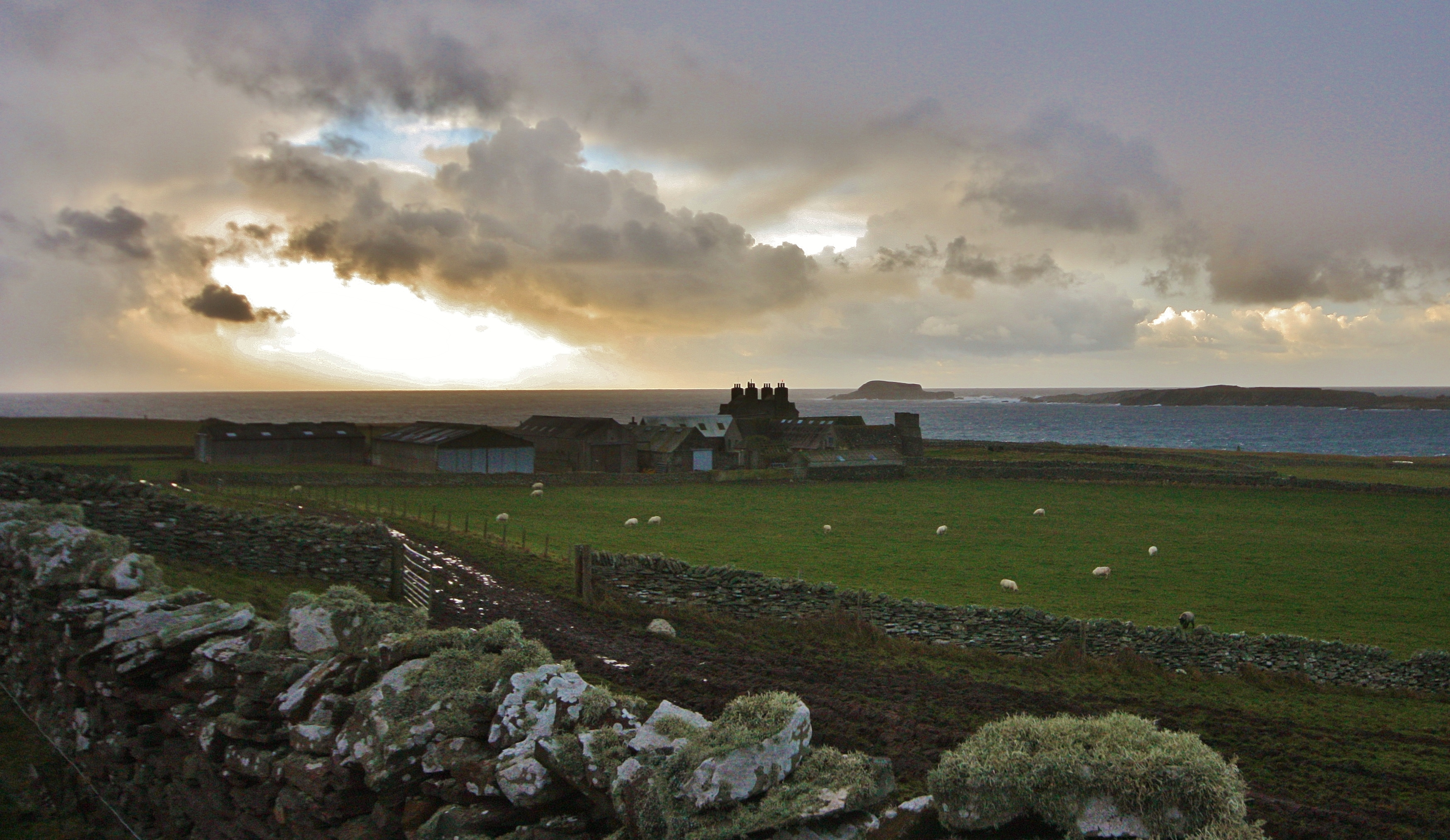
Barn at Eskadale - geograph.org.uk - 1518143.jpg - GeographBot

Skaill House Wall (1346362541).jpg - File Upload Bot (Magnus Manske)

Galloway Dyke on Fetlar.jpg - RobertSimons
Over the Dyke IMG 0112 (15973934772).jpg - Mungoola

Mid Head Dyke IMG 2757 (11249943475).jpg - Mungoola

Alte Einfriedungen im Westen von Barra.jpg - GerritR

Composition in Stone and Grass (3980477362).jpg - CallyMc

St Kilda Banner Alternative 2.jpg - SelfieCity