Wikimedi'Òc
Modes d'emploi

Cet album fait partie des albums
Cet album photos contient les sous-albums suivants :


Boundary wall - geograph.org.uk - 41450.jpg - GeographBot

Creag Leacach from the north - geograph.org.uk - 41438.jpg - GeographBot

Track and Burn in Glen Esk - geograph.org.uk - 83320.jpg - GeographBot

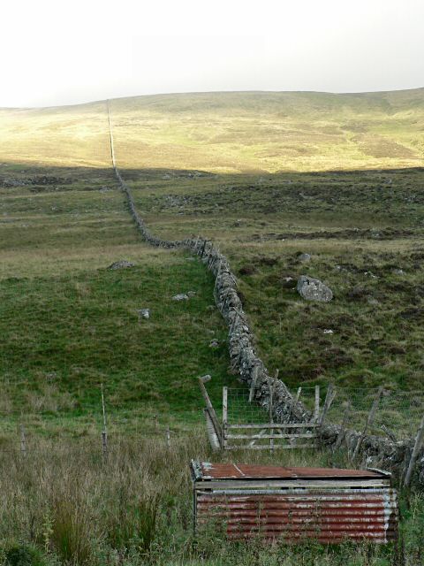
Stone wall - geograph.org.uk - 250044.jpg - GeographBot
Stone wall climbing Badandun Hill - geograph.org.uk - 250075.jpg - GeographBot

Wreaths Farmhouse - geograph.org.uk - 514822.jpg - GeographBot

A drystane structure on the ridge of Gallow Hill - geograph.org.uk - 690284.jpg - GeographBot

March dyke, Meall Mòr - geograph.org.uk - 704230.jpg - GeographBot

North east ridge of Meall Mòr - geograph.org.uk - 702748.jpg - GeographBot

Trees above River Isla - geograph.org.uk - 896599.jpg - GeographBot

Gap in the wall, Kirkton of Kinnettles - geograph.org.uk - 1120040.jpg - GeographBot

Entering Guthrie Village from the south - geograph.org.uk - 1152293.jpg - GeographBot

Dry stone wall, Lunanhead - geograph.org.uk - 1174608.jpg - GeographBot

View of Footpath that leads from the B9128 to the Forfar - Arbroath Road (A932) - geograph.org.uk - 1212807.jpg - GeographBot

Foxgloves along a dyke, Auchinleish, Glen Isla - geograph.org.uk - 1431157.jpg - GeographBot

Delusions of grandeur - geograph.org.uk - 1499442.jpg - GeographBot

Old and new - geograph.org.uk - 1499431.jpg - GeographBot

Doocot, Cotton of Inchock - geograph.org.uk - 1510206.jpg - GeographBot

Dry stone wall, Stylemouth - geograph.org.uk - 1618214.jpg - GeographBot

Dry stone wall, Gallow Hill - geograph.org.uk - 1629037.jpg - GeographBot