Wikimedi'Òc
Modes d'emploi

Cet album fait partie des albums
Cet album photos contient les sous-albums suivants :


Countryside scene near Denham Manor - geograph.org.uk - 29060.jpg - GeographBot

Sutton Park from Banners Gate - geograph.org.uk - 14283.jpg - GeographBot

View from the Dilke - geograph.org.uk - 16527.jpg - GeographBot

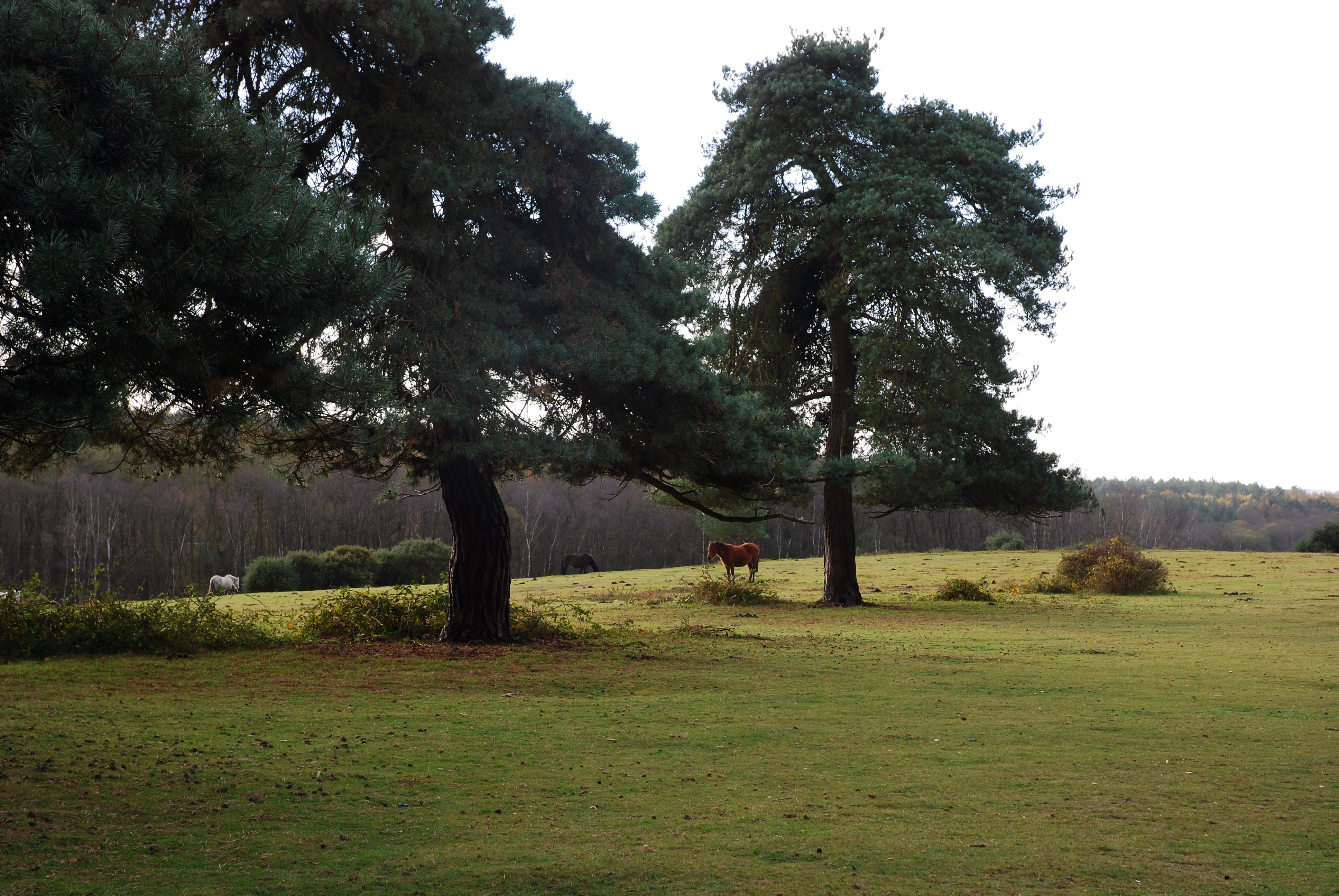
Blythe House - geograph.org.uk - 46623.jpg - GeographBot

Blythe Valley - geograph.org.uk - 65387.jpg - GeographBot

Eastcote - geograph.org.uk - 63064.jpg - GeographBot

Eastcote - geograph.org.uk - 65386.jpg - GeographBot

Over fields from Puddledock Lane - geograph.org.uk - 34589.jpg - GeographBot

Looking east towards Fawley Power Station, Tom's Down, Blackfield, Hants - geograph.org.uk - 69205.jpg - GeographBot

Sheep in field - geograph.org.uk - 34573.jpg - GeographBot

Near Tunley Farm looking SW towards Meadgate - geograph.org.uk - 68570.jpg - GeographBot

The lake, Berkswell Hall - geograph.org.uk - 46159.jpg - GeographBot

Robin Hood Island - geograph.org.uk - 95427.jpg - GeographBot

Countryside near Middleton by Youlgreave. - geograph.org.uk - 142820.jpg - GeographBot

Biodegradable Mattress - geograph.org.uk - 165460.jpg - GeographBot

Entrance to Roydon Common, Norfolk. - geograph.org.uk - 161880.jpg - GeographBot

Eckington Church seen from Gashouse Lane. - geograph.org.uk - 119792.jpg - GeographBot

Ford Road between Marsh Lane and Ridgeway, NE Derbyshire - geograph.org.uk - 119095.jpg - GeographBot

Roydon Common, Norfolk. - geograph.org.uk - 161877.jpg - GeographBot

Aftermath of fire at Hodge Hill Common - geograph.org.uk - 247053.jpg - GeographBot

Hodge Hill Common - geograph.org.uk - 245841.jpg - GeographBot

Hodge Hill Common - geograph.org.uk - 245844.jpg - GeographBot

Road across Hawkesbury Common - geograph.org.uk - 313803.jpg - GeographBot

Hales Pasture - geograph.org.uk - 327572.jpg - GeographBot

Stile, Gate and Footpath - geograph.org.uk - 328558.jpg - GeographBot

The Road away from Hucknall Farm - geograph.org.uk - 328580.jpg - GeographBot

The Road to Hucknall Farm - geograph.org.uk - 328570.jpg - GeographBot

Distant Woodland - geograph.org.uk - 334479.jpg - GeographBot

Edge of River Valley (2) - geograph.org.uk - 335709.jpg - GeographBot

Edge of River Valley - geograph.org.uk - 335707.jpg - GeographBot

Fencing - geograph.org.uk - 335691.jpg - GeographBot

Field - geograph.org.uk - 335688.jpg - GeographBot

Field Boundaries - geograph.org.uk - 335734.jpg - GeographBot

Footpath towards Longlane Farm - geograph.org.uk - 334468.jpg - GeographBot

Large Puddle... - geograph.org.uk - 335728.jpg - GeographBot

Letter Box - geograph.org.uk - 335750.jpg - GeographBot

Long Lane - geograph.org.uk - 334196.jpg - GeographBot

Noticeboard and Sign - geograph.org.uk - 335741.jpg - GeographBot

Path running parallel to a nursery - geograph.org.uk - 334202.jpg - GeographBot

The Path to Long Lane (2) - geograph.org.uk - 334237.jpg - GeographBot

The Path to Peover Hall (2) - geograph.org.uk - 334218.jpg - GeographBot

The Path to Peover Hall (3) - geograph.org.uk - 334241.jpg - GeographBot

Three Trees - geograph.org.uk - 334206.jpg - GeographBot

Cronkeyshaw Common, Rochdale, Lancashire - geograph.org.uk - 344311.jpg - GeographBot

Hungerford Common - geograph.org.uk - 345664.jpg - GeographBot

Hungerford Common - geograph.org.uk - 345675.jpg - GeographBot

Hungerford Common - geograph.org.uk - 345678.jpg - GeographBot

Hungerford Common - geograph.org.uk - 345684.jpg - GeographBot

Hungerford Common Inkpen Gate - geograph.org.uk - 345631.jpg - GeographBot

Hungerford Common north-west part - geograph.org.uk - 345592.jpg - GeographBot

Entrance to Chapel Row Common - geograph.org.uk - 350256.jpg - GeographBot

Pelsall Wood Common - geograph.org.uk - 365861.jpg - GeographBot

Wapley Common - geograph.org.uk - 367463.jpg - GeographBot

Brigsley from the south - geograph.org.uk - 378603.jpg - GeographBot

Mount Pleasant North (1) - geograph.org.uk - 378856.jpg - GeographBot

Mount Pleasant North (2) - geograph.org.uk - 378864.jpg - GeographBot

Path to the woods - geograph.org.uk - 378800.jpg - GeographBot

Wanderlust wanderings - geograph.org.uk - 378773.jpg - GeographBot

Bradley Road and Bradley Gairs - geograph.org.uk - 386496.jpg - GeographBot

Lower Dean - geograph.org.uk - 383216.jpg - GeographBot

Stroud Common - geograph.org.uk - 381304.jpg - GeographBot

Turbary Common - geograph.org.uk - 383952.jpg - GeographBot

Barton Street vista - geograph.org.uk - 390368.jpg - GeographBot

Bridleway Junction (1) - geograph.org.uk - 392757.jpg - GeographBot

Bridleway Junction (2) - geograph.org.uk - 392770.jpg - GeographBot

Bridleway Junction - geograph.org.uk - 392749.jpg - GeographBot

Under a tree - geograph.org.uk - 392841.jpg - GeographBot

A421 - geograph.org.uk - 406462.jpg - GeographBot

Looking over to Gilmonby Moor. - geograph.org.uk - 401900.jpg - GeographBot

Lopsham Lane - geograph.org.uk - 407018.jpg - GeographBot
Signs of spring - geograph.org.uk - 400731.jpg - GeographBot

View across to Myers hill - geograph.org.uk - 406350.jpg - GeographBot
View northwest - geograph.org.uk - 405841.jpg - GeographBot

View toward Colmworth - geograph.org.uk - 406537.jpg - GeographBot

View towards the Cleveland Hills - geograph.org.uk - 405954.jpg - GeographBot

Winter sown barley - geograph.org.uk - 408424.jpg - GeographBot

Arable field and golf course - geograph.org.uk - 411293.jpg - GeographBot

View south from Grange farm - geograph.org.uk - 416274.jpg - GeographBot

Beesby panorama - geograph.org.uk - 424412.jpg - GeographBot

Bridleway landscape - geograph.org.uk - 429805.jpg - GeographBot

Bumpy field - geograph.org.uk - 424415.jpg - GeographBot

Hedged vista - geograph.org.uk - 425090.jpg - GeographBot

Rough track - geograph.org.uk - 429814.jpg - GeographBot

Scene from the bridleway - geograph.org.uk - 425071.jpg - GeographBot

South east panorama - geograph.org.uk - 425404.jpg - GeographBot
Clearance work - geograph.org.uk - 436413.jpg - GeographBot

Entering Southampton Common - geograph.org.uk - 431301.jpg - GeographBot

Unused Farmland - geograph.org.uk - 431321.jpg - GeographBot

Glorious park-like countryside - geograph.org.uk - 456905.jpg - GeographBot

Nature Reserve - Town Lane - geograph.org.uk - 459293.jpg - GeographBot

Nature Reserve 2 - Town Lane - geograph.org.uk - 459295.jpg - GeographBot

Nature Reserve 3 - Town Lane - geograph.org.uk - 459300.jpg - GeographBot

Nature Reserve 4 - Town Lane - geograph.org.uk - 459307.jpg - GeographBot

Pastures Farm - geograph.org.uk - 461172.jpg - GeographBot

Rural Scene - geograph.org.uk - 460522.jpg - GeographBot

Wealden view - geograph.org.uk - 461087.jpg - GeographBot

Open countryside near Chelwood - geograph.org.uk - 482461.jpg - GeographBot

Croydon Road A232 and West Wickham Common - geograph.org.uk - 499375.jpg - GeographBot

Clough Brook Valley - geograph.org.uk - 504942.jpg - GeographBot

Countryside near Frisby - geograph.org.uk - 501044.jpg - GeographBot

Hungerford Common, Hungerford - geograph.org.uk - 576136.jpg - GeographBot

Pickup Bank - geograph.org.uk - 612884.jpg - GeographBot

Pinkneys Green - geograph.org.uk - 611198.jpg - GeographBot

Carriage Drive South, Southampton Common - geograph.org.uk - 637332.jpg - GeographBot

Houses at Motney Hill - geograph.org.uk - 646412.jpg - GeographBot

Elm Farm, Lower Halstow - geograph.org.uk - 668846.jpg - GeographBot

School Lane, Lower Halstow - geograph.org.uk - 668945.jpg - GeographBot

Crossing old railway line east of Stevington windmill - geograph.org.uk - 680667.jpg - GeographBot

Misleading information? - geograph.org.uk - 687035.jpg - GeographBot

Countryside, Sidley - geograph.org.uk - 708591.jpg - GeographBot

Cold surroundings - geograph.org.uk - 772403.jpg - GeographBot

Countryside near Ella's Farm - geograph.org.uk - 899205.jpg - GeographBot

Cuckold's Green, near Lower Stoke - geograph.org.uk - 1402892.jpg - GeographBot

Fields above Beachy Head - geograph.org.uk - 1400241.jpg - GeographBot
The Sea Wall.Winchelsea.JPG - Bulwersator

The Beach. Winchelsea.JPG - Hydriz

The Ridge. Winchelsea.JPG - Hydriz
Forest & Frith, Churchwarden & Mrs B Beard.JPG - Yahra

Nice vista 2 (3551139989).jpg - Russavia

Nice vista 1 (3551951642).jpg - Russavia

Nice view (2541244383).jpg - Russavia

Rural view 1 (2344051942).jpg - Russavia

Rural view 2 (2344045722).jpg - Russavia

Reigate Rural-ness (2055547792).jpg - Russavia

Rural-ness (2037479883).jpg - Russavia

Rural view (1984690922).jpg - Russavia
Rural-ness (1970606105).jpg - Russavia

Rural-ness (1971289472).jpg - Russavia

Reigate rural-ness --) (1935075998).jpg - Russavia

Hay bales (1444245716).jpg - Russavia

Hay Bales (1444239684).jpg - Russavia

Hay Bales (1443368943).jpg - Russavia

Another Picture Somewhere In Yorkshire.jpg - MattyConno

Picture Somewhere In Yorkshire.jpg - MattyConno

Twilight in Plumpton.JPG - Mcastro99
Cobbett - Rural rides in the southern, western and eastern counties of England, 1930 - 5214769.tif - Federico Leva (BEIC)

Blackfell Army Camp, Washington (15061535769).jpg - Fæ

A walk in the woods (7447699988).jpg - Fæ

This is a glass slide showing a picturesque country landscape, featuring an agricultural theme made by the farmer and horse. (7447697850).jpg - Fæ

Elephant ploughing a field (6537934887).jpg - Fæ

Dog following a caravan (6537929203).jpg - Fæ

Ovce na pastvě.jpg - Pepazajicek95

Ushaw Moor Field.jpg - BlackRebel2097

Croydon Hill from Dunkery Hill, southern England.jpg - Simonbeck8848

Sidmouth (Connaught Gdns) from Salcombe Hill.jpg - Simonbeck8848

Somerset Blackdowns Pitminster field.jpg - Simonbeck8848

Salisbury Plain Stourhead 01.jpg - Simonbeck8848

Somerset Glastonbury Tor 02.jpg - Simonbeck8848

Quantock HillsDowsbroughFromRidgeway.jpg - Simonbeck8848

Mendip Cheddar Gorge Bluebells May17 2018.jpg - Simonbeck8848

Geographic footprint of RUCLAD classification England.jpg - J mareeswaran

2011 RUCLAD Assignments England.jpg - J mareeswaran

2011 Rural Urban classification by Local Authorities in England 01.jpg - J mareeswaran