Wikimedi'Òc
Modes d'emploi

Cet album fait partie des albums
Cet album photos contient les sous-albums suivants :


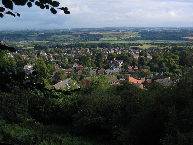
Unlucky For One (49998770402).jpg - Fabe56

Another Cottage - geograph.org.uk - 5473.jpg - GeographBot

Oakley Folly - geograph.org.uk - 3875.jpg - GeographBot

Footpath - part of the Delamere Way long distance footpath - geograph.org.uk - 17734.jpg - GeographBot

Green Cheshire countryside - geograph.org.uk - 17749.jpg - GeographBot

Sunset over the garden wall - geograph.org.uk - 9384.jpg - GeographBot

Through the arched window - geograph.org.uk - 22981.jpg - GeographBot

Traditional woodland near Woodhouses - geograph.org.uk - 24391.jpg - GeographBot

View from Norley Lane - geograph.org.uk - 17715.jpg - GeographBot

Betchton Heath - geograph.org.uk - 76866.jpg - GeographBot

Eddisbury Hill Farm above Delamere - geograph.org.uk - 63149.jpg - GeographBot

Frodsham Marsh - geograph.org.uk - 74153.jpg - GeographBot

Moggie Lane, Adlington - geograph.org.uk - 67568.jpg - GeographBot

Northern Edge of Delamere Forest at Waterloo Gate - geograph.org.uk - 65236.jpg - GeographBot
Overton, Frodsham, and the Weaver Valley - geograph.org.uk - 62526.jpg - GeographBot

Skellorn Green, near Poynton - geograph.org.uk - 68921.jpg - GeographBot

Cheshire Countryside - geograph.org.uk - 82625.jpg - GeographBot

Footpath, Snidley Moor - geograph.org.uk - 84892.jpg - GeographBot

Hazelwall from Pexhill Road - geograph.org.uk - 89160.jpg - GeographBot

Higher Marston from Hall Drive - geograph.org.uk - 87848.jpg - GeographBot

Looking NE from Crowder's Lane - geograph.org.uk - 87426.jpg - GeographBot

Looking NW towards Holford Hall from Ascol Drive - geograph.org.uk - 87291.jpg - GeographBot

Looking across towards Leftwich from Shipbrook Road - geograph.org.uk - 87385.jpg - GeographBot

Looking north towards Underbank Farm - geograph.org.uk - 89166.jpg - GeographBot

View from Parkgate Lane Railway Bridge - geograph.org.uk - 80824.jpg - GeographBot

View from Pickmere Rough looking south - geograph.org.uk - 87844.jpg - GeographBot

Sheep grazing - South East corner of Mobberley Parish - geograph.org.uk - 105092.jpg - GeographBot

South East corner of Mobberley Parish - geograph.org.uk - 105089.jpg - GeographBot

South East corner of Mobberley Parish - geograph.org.uk - 105094.jpg - GeographBot
Above the River Dean - geograph.org.uk - 130683.jpg - GeographBot

Harrow Hill - geograph.org.uk - 152799.jpg - GeographBot

Macclesfield Countryside - geograph.org.uk - 168594.jpg - GeographBot

Macclesfield Countryside - geograph.org.uk - 168598.jpg - GeographBot

Beautiful Cheshire^ - geograph.org.uk - 179899.jpg - GeographBot

Countryside near Utkinton in Cheshire. - geograph.org.uk - 173232.jpg - GeographBot

Fishpool Road near Utkinton (Tarporley, Cheshire) - geograph.org.uk - 173222.jpg - GeographBot

Willow Green from the Trent and Mersey Canal - geograph.org.uk - 184422.jpg - GeographBot

Tushingham - view from the Bishop Bennet Way - geograph.org.uk - 219041.jpg - GeographBot

View from Wybunbury Tower looking south - geograph.org.uk - 274994.jpg - GeographBot

Millennium project at 'Joey the Swan', in Wistaston, Cheshire.jpg - GeographBot

Peover Superior Parish - geograph.org.uk - 335727.jpg - GeographBot

View of Sandstone Ridges near Frodsham - geograph.org.uk - 507194.jpg - GeographBot

Woodland - geograph.org.uk - 503252.jpg - GeographBot

Too wet to Walk - geograph.org.uk - 510285.jpg - GeographBot

Urban Litter - geograph.org.uk - 510412.jpg - GeographBot

Wetreins Green - geograph.org.uk - 510279.jpg - GeographBot

Track and footpath diverge - geograph.org.uk - 532648.jpg - GeographBot

Training track near Egerton Hall from the Sandstone Way - geograph.org.uk - 533056.jpg - GeographBot

Wimboldsley - Shropshire Union Canal - geograph.org.uk - 574478.jpg - GeographBot

Wimboldsley - View from School Lane - geograph.org.uk - 574418.jpg - GeographBot

Footpath to Horton Green - geograph.org.uk - 585955.jpg - GeographBot

Mound with Scots pine - geograph.org.uk - 712998.jpg - GeographBot

Pasture and plantation, near Bankhouse Farm - geograph.org.uk - 712731.jpg - GeographBot

View south east from Bickerton Hill - geograph.org.uk - 713128.jpg - GeographBot

View towards copper mine chimney - geograph.org.uk - 713123.jpg - GeographBot

The Laches - geograph.org.uk - 721242.jpg - GeographBot

Packhorse Track - geograph.org.uk - 734153.jpg - GeographBot

Path from Torgate Farm to Broughsplace - geograph.org.uk - 750454.jpg - GeographBot

Stanley Arms from path to Macclesfield Forest - geograph.org.uk - 751161.jpg - GeographBot

View from Beeston Castle towards Chester (5334).jpg - KTC

View from Beeston Castle towards Ellesmere Port (5332).jpg - KTC

View southwest from Beeston Castle (5340).jpg - KTC
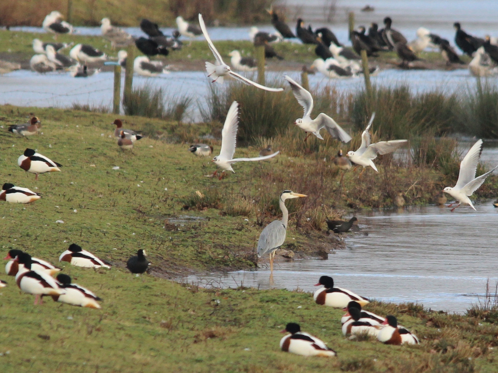
Heron and Friends (31450136974).jpg - Спасимир

Crewe Road, Winterley (31839951020).jpg - Спасимир