Wikimedi'Òc
Modes d'emploi

Cet album fait partie des albums
Cet album photos contient les sous-albums suivants :


Clearing The Edwardian Dump In Cirencester - geograph.org.uk - 276444.jpg - GeographBot

Little Lark Hill near Tetbury - geograph.org.uk - 276771.jpg - GeographBot
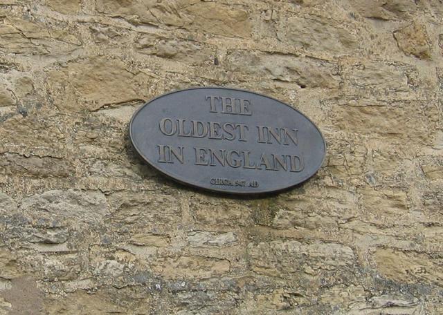
Plaque on The Royalist Hotel - geograph.org.uk - 273672.jpg - GeographBot

View across the valley to Cotswold park - geograph.org.uk - 1551066.jpg - GeographBot

Cotswold banner Lavender farm.jpg - Nicholasjf21

Cotswold District Council ward control.svg - OgreBot

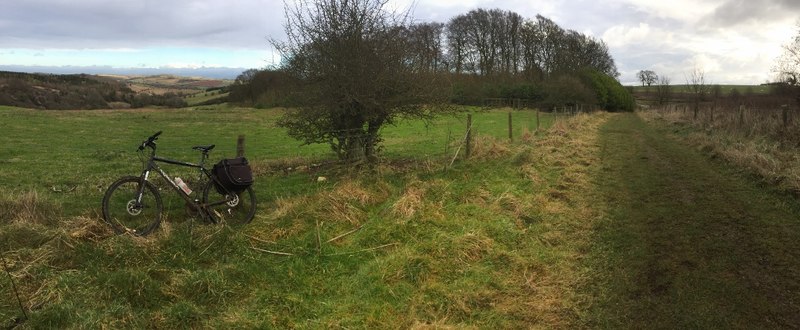
Footpath to Kingscote Barn - panoramio.jpg - Panoramio upload bot

Cotswold District Council Composition.svg - OgreBot

CotswoldDistrictCouncil 2019.svg - CalvinK

UK Cotswold Council 2019.svg - ToxicOranges

Coaley peak.jpg - Explicit
A glossary of the Cotswold (Gloucestershire) dialect; (IA glossaryofcotswo00huntrich).pdf - Fæ

Road signs, Upper Slaugher, Lower Slaughter and Bourton-on-the Water 7820.jpg - Peter K Burian

UK Cotswolds District Council 2023.svg - Sandy270
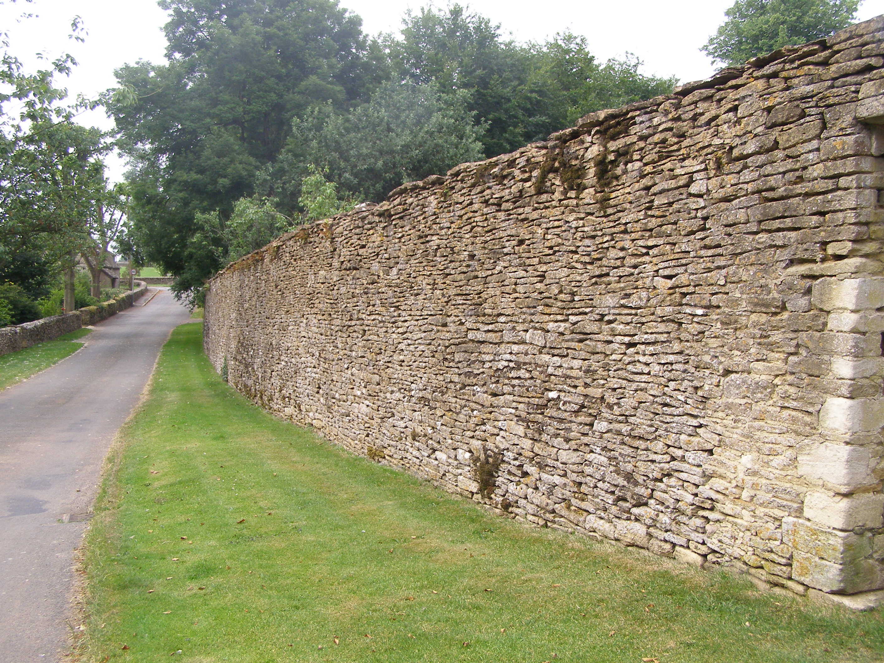
Drystonewallbeverstoncastle.jpg - Pewtercollector
Shab Hill view - geograph.org.uk - 5265031.jpg - GeographBot

Painswick Ste Mary church.jpg - Anagrys

Painswick church cemetery.jpg - Anagrys

Cotswold UK ward map 2011.svg - RandomEditsForWhenIRemember