Wikimedi'Òc
Modes d'emploi

Cet album fait partie des albums
Cet album photos contient les sous-albums suivants :


Cannock Chase - geograph.org.uk - 4824.jpg - GeographBot

Cannock Chase Path.jpg - Bs0u10e01
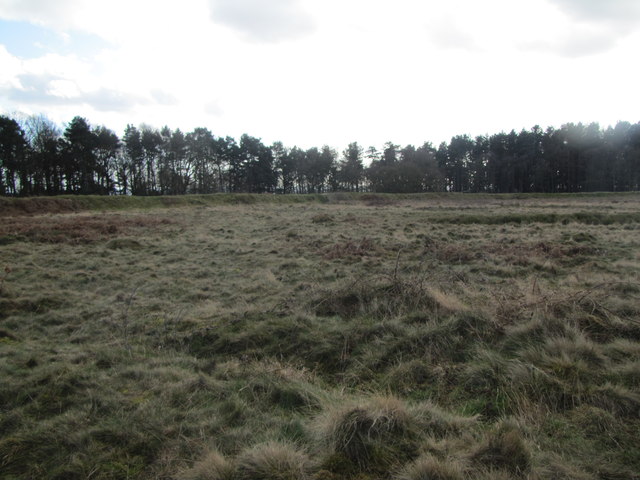
Cannock Chase in Autumn - geograph.org.uk - 285689.jpg - GeographBot

Court Hayes Farm - geograph.org.uk - 335920.jpg - GeographBot

Footpath To Prospect Village - geograph.org.uk - 335896.jpg - GeographBot

Footpath To The Redmore Inn - geograph.org.uk - 335822.jpg - GeographBot

The Rag Pub Looking Towards Cannock Wood - geograph.org.uk - 335911.jpg - GeographBot
Cannock chase 300.jpg - File Upload Bot (Magnus Manske)

Holly Hill Road, Cannock Wood - geograph.org.uk - 1021261.jpg - GeographBot

The Firs, Cannock Wood - geograph.org.uk - 1021256.jpg - GeographBot

Sevens Road, Looking Towards Prospect Village, Staffordshire. - geograph.org.uk - 1279571.jpg - GeographBot

Sevens Road, looking towards Chase Terrace, Staffordshire - geograph.org.uk - 1279581.jpg - GeographBot

Beaudesert Ruins.jpg - Bs0u10e01

On the 'Outer Circle' at Castle Ring - geograph.org.uk - 2122501.jpg - GeographBot

The Rag Public House and Restaurant. - geograph.org.uk - 2446976.jpg - GeographBot

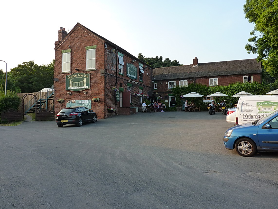
The Park Gate Inn - geograph.org.uk - 2447007.jpg - GeographBot

Chestall Estate - geograph.org.uk - 2447504.jpg - GeographBot

Castle Ring - geograph.org.uk - 3362857.jpg - GeographBot

Old Lodge Hill - geograph.org.uk - 3553816.jpg - GeographBot

The Rag pub - geograph.org.uk - 3600233.jpg - GeographBot

Cumberledge hill - geograph.org.uk - 3600235.jpg - GeographBot
Farm track and horses - geograph.org.uk - 3600238.jpg - GeographBot

Cannock Wood Methodist Church - geograph.org.uk - 3601787.jpg - GeographBot

A track onto the Chase - geograph.org.uk - 3601798.jpg - GeographBot
The Park Gate - geograph.org.uk - 3601876.jpg - GeographBot

Hayfield Hill - geograph.org.uk - 3601888.jpg - GeographBot

Stubble field with straw bales - geograph.org.uk - 3676063.jpg - GeographBot

View from the missing trig point at Castle Ring - geograph.org.uk - 3676086.jpg - GeographBot
Castle Ring Fort - geograph.org.uk - 4344744.jpg - GeographBot

At Castle Ring Hill Fort - Embankment - geograph.org.uk - 5231124.jpg - GeographBot

Footpath between Holly Hill Road and Cumberledge Hill - geograph.org.uk - 5499659.jpg - GeographBot

Competitors waiting in the start lanes in the walled garden at Beaudesert Activity Centre - geograph.org.uk - 5734531.jpg - GeographBot

The entrance to the walled garden at Beaudesert Activity Centre - geograph.org.uk - 5734819.jpg - GeographBot

The outside of the perimeter wall on the north-east side of the walled garden at Beaudesert Activity Centre - geograph.org.uk - 5734826.jpg - GeographBot

Castle Ring - geograph.org.uk - 6273525.jpg - GeographBot

Gentleshaw Reservoir - geograph.org.uk - 6275358.jpg - GeographBot

Field above Gentleshaw - geograph.org.uk - 6275362.jpg - GeographBot
Path near Gentleshaw - geograph.org.uk - 6275368.jpg - GeographBot

Path to Cannock Wood - geograph.org.uk - 6278423.jpg - GeographBot

Cannock Wood Methodist Church, mid August 2020 - geograph.org.uk - 6572981.jpg - GeographBot

Castle Ring Trig Point - geograph.org.uk - 6794562.jpg - GeographBot

The Rag - geograph.org.uk - 6985489.jpg - GeographBot

Cannock Chase near Beaudesert Old Park in Staffordshire - geograph.org.uk - 7730088.jpg - GeographBot