Wikimedi'Òc
Modes d'emploi

Cet album fait partie des albums
Cet album photos contient les sous-albums suivants :


Go Ape Cannock Chase - Site 1 - panoramio.jpg - Panoramio upload bot

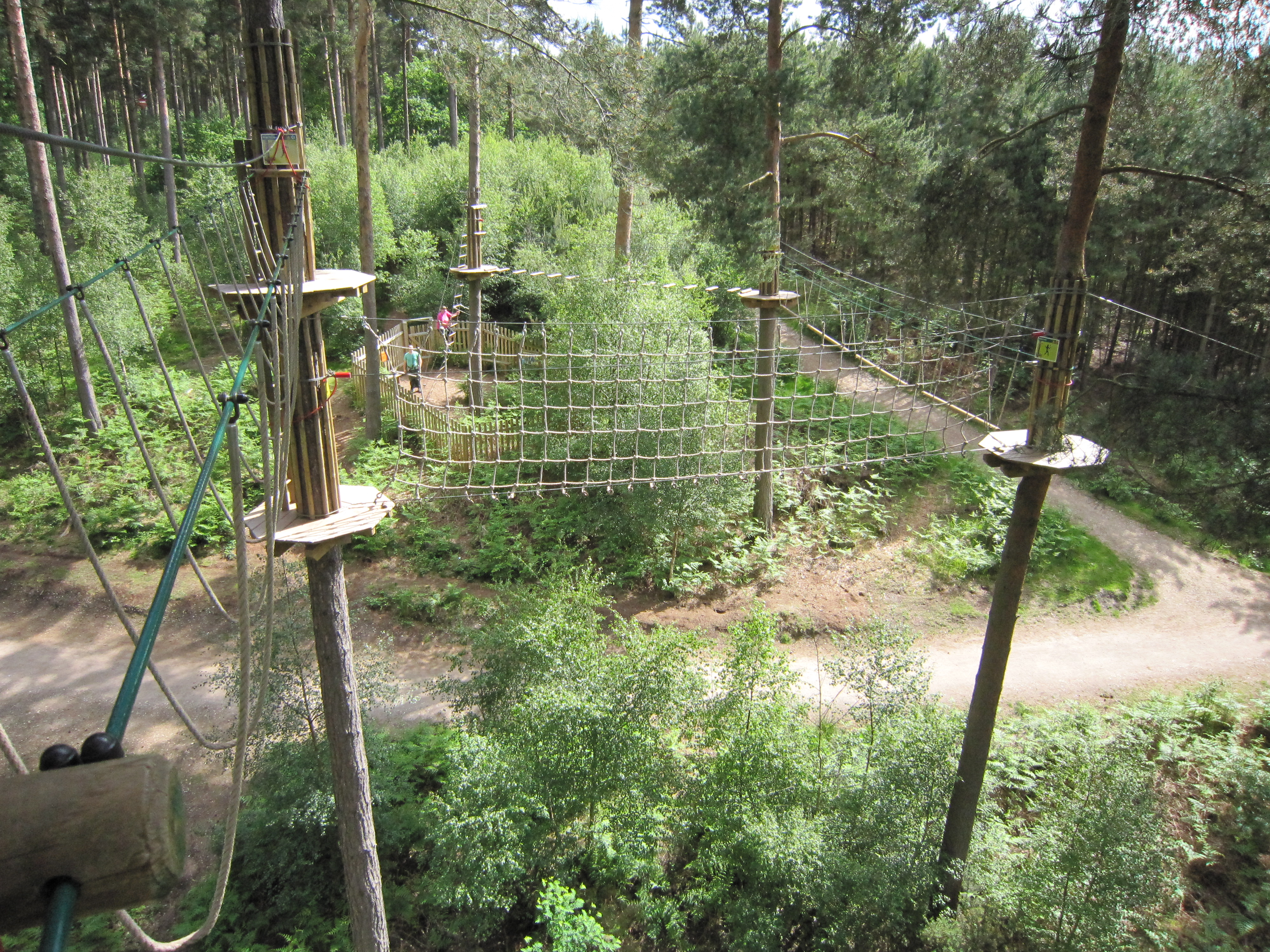
Go Ape Cannock Chase - panoramio.jpg - Panoramio upload bot
Go Ape Cannock Chase - Site 3 - panoramio.jpg - Panoramio upload bot

Go Ape Cannock Chase - Site 5 - panoramio.jpg - Panoramio upload bot

Go Ape Cannock Chase - Site 4 - panoramio.jpg - Panoramio upload bot

Go Ape Cannock Chase - Zip Wire to Site 4 - panoramio.jpg - Panoramio upload bot

Go Ape Cannock Chase - Zip Wire to Site 5 - panoramio.jpg - Panoramio upload bot

Go Ape Cannock Chase - Zip Wire Landing Site - panoramio.jpg - Panoramio upload bot

Shell Filling Station, Watling Street, Cannock - geograph.org.uk - 1875795.jpg - GeographBot

Manor Avenue, Cannock - geograph.org.uk - 1876125.jpg - GeographBot

Danilo Road, Cannock - geograph.org.uk - 1876141.jpg - GeographBot

The Fern ^ Fallow, Cannock - geograph.org.uk - 1991616.jpg - GeographBot

Mill Street Methodist Church - geograph.org.uk - 2092899.jpg - GeographBot

Beau Desert Golf Club - The Clubhouse and path through the woods - geograph.org.uk - 2122403.jpg - GeographBot

Pond near the edge of the Chase - geograph.org.uk - 2122448.jpg - GeographBot

'Heart of England Way' through Beaudesert Old Park - geograph.org.uk - 2122517.jpg - GeographBot

Cannock Wood Colliery, Staffordshire - geograph.org.uk - 2271134.jpg - GeographBot

Bideford Shops, Cannock - geograph.org.uk - 2429630.jpg - GeographBot

Gorsey Lane, Cannock - geograph.org.uk - 2429641.jpg - GeographBot

White Lion, Cannock. - geograph.org.uk - 2429795.jpg - GeographBot

Cemetery Road, Cannock. - geograph.org.uk - 2429802.jpg - GeographBot

Chadsmoor. - geograph.org.uk - 2429826.jpg - GeographBot

Flood Defence, Cannock. - geograph.org.uk - 2431312.jpg - GeographBot

Mill Farm, Cannock - geograph.org.uk - 2431328.jpg - GeographBot

New Netto Store, Rumer Hill, Cannock - geograph.org.uk - 2431349.jpg - GeographBot

Looking Up To The A5 Roundabout) - geograph.org.uk - 2440080.jpg - GeographBot

Winchester Road, Hednesford. - geograph.org.uk - 2440149.jpg - GeographBot

Local Shop On Littleworth Rd. Rawnsley. - geograph.org.uk - 2444778.jpg - GeographBot

The Hazel Slade, Public House. - geograph.org.uk - 2445090.jpg - GeographBot

Rugeley Rd. Hazel Slade. - geograph.org.uk - 2445103.jpg - GeographBot

Cannock Wood Industrial Estate. - geograph.org.uk - 2445139.jpg - GeographBot

The Duck, Chadsmoor. - geograph.org.uk - 2446873.jpg - GeographBot

Walstell Garage, Cannock. - geograph.org.uk - 2446938.jpg - GeographBot

The Rag Public House and Restaurant. - geograph.org.uk - 2446976.jpg - GeographBot

New Fire Station. Cannock - geograph.org.uk - 2448937.jpg - GeographBot

Wellington Drive, Cannock - geograph.org.uk - 2458420.jpg - GeographBot

From Rawnsley Road looking down Rugeley Road - geograph.org.uk - 2465258.jpg - GeographBot

Junction of Rugeley Road with Rawnsley Road - geograph.org.uk - 2465267.jpg - GeographBot

Due for Demolition, Hednesford Road, Cannock - geograph.org.uk - 2568457.jpg - GeographBot

Part of a Slag Heap from Old Mine Workings - geograph.org.uk - 2600227.jpg - GeographBot

Track to Old Mine Workings - geograph.org.uk - 2600231.jpg - GeographBot

Young Plantation near Old Mine Workings - geograph.org.uk - 2600232.jpg - GeographBot

A Bridge with no Water - geograph.org.uk - 2600238.jpg - GeographBot

Former Mining Land, Going Back to Nature - geograph.org.uk - 2600250.jpg - GeographBot

Former Mining Land, Going Back to Nature - geograph.org.uk - 2600253.jpg - GeographBot

Playing field off Wellington Drive - geograph.org.uk - 2899057.jpg - GeographBot

Cannock Community Fire Station - geograph.org.uk - 2899081.jpg - GeographBot

Old signpost to Chadsmoor - geograph.org.uk - 2899091.jpg - GeographBot

Chase Council for Voluntary Service - Arthur Road - geograph.org.uk - 2899130.jpg - GeographBot

The Moon Under Water - Chadsmoor - geograph.org.uk - 2900236.jpg - GeographBot

Jolly Collier PH - Chadsmoor - geograph.org.uk - 2900257.jpg - GeographBot

Cannock railway station, Staffordshire, 2011 - geograph.org.uk - 3381665.jpg - GeographBot

Entrance to Sevens Road Wood - geograph.org.uk - 3553824.jpg - GeographBot

Sevens Road - geograph.org.uk - 3553825.jpg - GeographBot

Track to Cannockwood Farm - geograph.org.uk - 3553828.jpg - GeographBot

Bungalow, Prospect Village - geograph.org.uk - 3553831.jpg - GeographBot

Houses off Cannock Wood Road - geograph.org.uk - 3553833.jpg - GeographBot

Cannock Wood Road, Rawnsley - geograph.org.uk - 3553835.jpg - GeographBot

Farmland, Hazelslade - geograph.org.uk - 3553840.jpg - GeographBot

Rugeley Road, Hazelslade - geograph.org.uk - 3553842.jpg - GeographBot

CAT View - geograph.org.uk - 3556176.jpg - GeographBot

A5 View - geograph.org.uk - 3556185.jpg - GeographBot

A fenced-off mine shaft - geograph.org.uk - 3596455.jpg - GeographBot

An open pool in the old opencast site - geograph.org.uk - 3596460.jpg - GeographBot

A narrow track on the old opencast site - geograph.org.uk - 3596467.jpg - GeographBot

Footpath up the hill east of Wimblebury - geograph.org.uk - 3596471.jpg - GeographBot

Wheatfield between Wimblebury and Rawnsley - geograph.org.uk - 3596473.jpg - GeographBot

A field of oats near Prospect Village - geograph.org.uk - 3596481.jpg - GeographBot

Ironstone Road in Prospect Village - geograph.org.uk - 3600209.jpg - GeographBot

The route of the old mineral line - geograph.org.uk - 3600228.jpg - GeographBot

Cumberledge hill - geograph.org.uk - 3600235.jpg - GeographBot

A track across the Chase - geograph.org.uk - 3601806.jpg - GeographBot

Evening sunlight in the woods at Lodge Bank - geograph.org.uk - 3601809.jpg - GeographBot

Rather a poor excuse for a ford - geograph.org.uk - 3601831.jpg - GeographBot

A little-used track near the Heart of England Way - geograph.org.uk - 3601852.jpg - GeographBot

Not much water to be seen - geograph.org.uk - 3602002.jpg - GeographBot

Along the Cannock Road towards Chase Terrace - geograph.org.uk - 3602007.jpg - GeographBot

Cannock Chase UK ward map 2022.svg - M3gaM4sh

Cannock Chase UK ward map 2024.svg - Into oblivion