Wikimedi'Òc
Modes d'emploi

Cet album fait partie des albums
Cet album photos contient les sous-albums suivants :


Irrigation with surface and subterranean waters and land drainage with special reference to the geological development and utilisation of artesian and sub-artesian supplies BHL42821776.jpg - Fæ

Admiralty Chart No 2759a Australia northern portion, Published 1934.jpg - Kognos

Admiralty Chart No 960 Approaches to Hobart including D'Entrecasteaux Channel and Derwent River, surveyed by Lieutenant A.M. Field R.N. et al, Published 1889.jpg - Balkanique
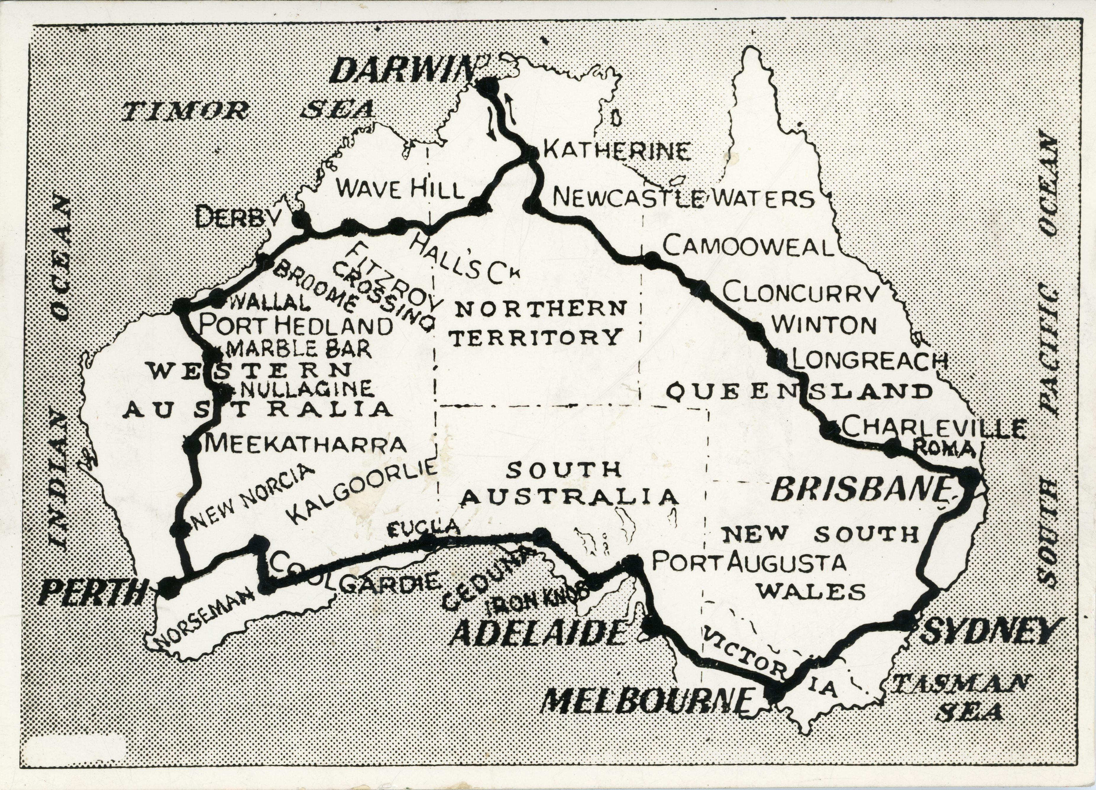
1. Map of Australia Showing Route Followed On Motor Journey of 10,000 miles - Flickr - Royal Australian Historical Society.jpg - Red panda bot

1925 Air Routes of Australia.jpg - Zoozaz1
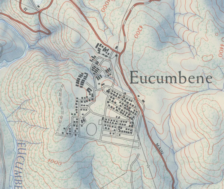
Eucumbene Map 1960.png - Vfahistory