×

IndianEmpireCeylon1915.jpg - MALLUS

13-Karte von Britisch-Indien (1914).png - Lucius Castus

Map Asirgarh MP India.jpg - SteinsplitterBot

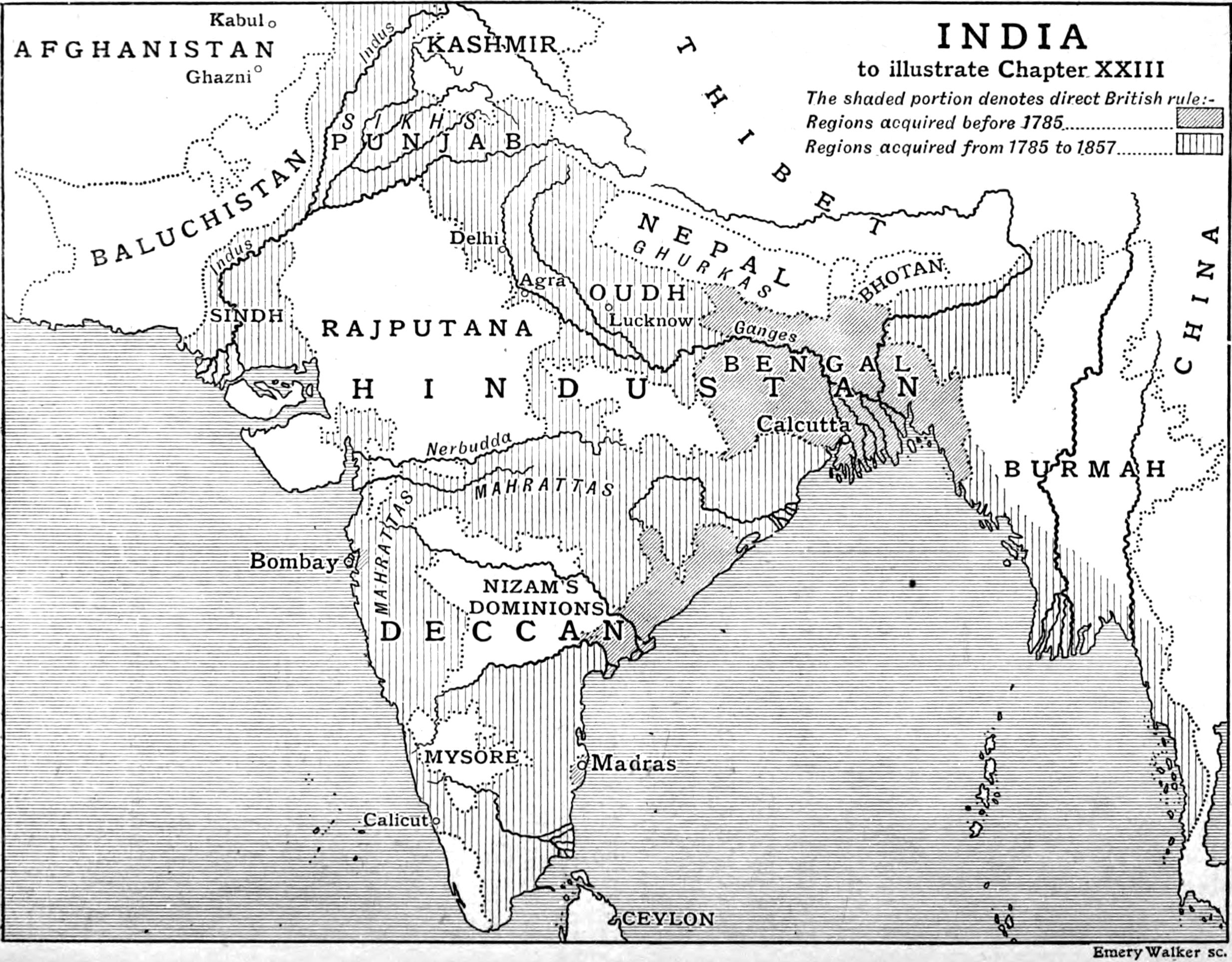
The empire of India (1913) (14593929100).jpg - Fæ

Gwalior (Baedeker, 1914).jpg - Ubel

Agra (Baedeker, 1914).jpg - Ubel

A General Sketch of Political History from the Earlist Times - India.jpg - Sp1nd01

Txu-pclmaps-oclc-181831961-52-i-kara-tagh-pass-1914.jpg - Kautilya3

"Hindi Speaking Population" India map in 1919 with the McMahon Treaty border detail, from- Foreign Missions Year Book of North America 1920 (Covering the year 1919) - (IA foreignmissionsy01fore) (page 111 crop).jpg - Tibet Nation

1916 Survey map India and Adjascent Countries - Ladakh.jpg - Kautilya3

"FIGHTING CLANS" of the British Indian Empire, 1918 — North East.jpg - Rnrctg

"FIGHTING CLANS" of the British Indian Empire, 1918 — North West.jpg - Rnrctg

"FIGHTING CLANS" of the British Indian Empire, 1918 — South West.jpg - Rnrctg

"FIGHTING CLANS" of the British Indian Empire, 1918 — South East.jpg - Rnrctg

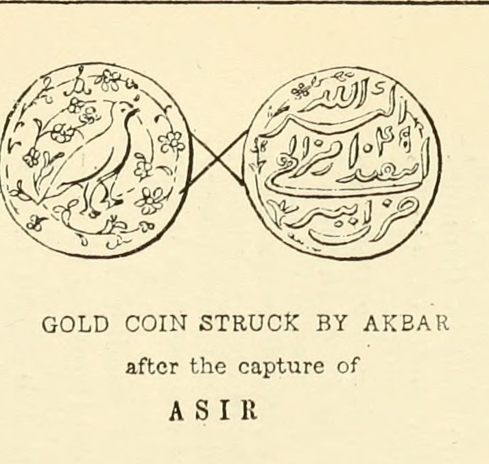
Gold coin struck by Akbar after the capture of Asir.jpg - Pratishkhedekar

Map of Lushai Tribes.jpg - Taitesena
❮
❯


