×

Range of Operation of the Enriquez Corsair Fleet.jpg - Caribbean H.Q.

Carte de l'Océan Occidental avec plusieurs routes de navigation - btv1b53177430t (1 of 3).jpg - Gzen92Bot

Carte de l'Océan Occidental avec plusieurs routes de navigation - btv1b53177500z (1 of 3).jpg - Gzen92Bot

Carte de l'Océan Occidental avec routes de plusieurs navires - btv1b531774424 (1 of 2).jpg - Gzen92Bot

Carte de l'Océan Occidental avec routes du Jason - btv1b531774407 (1 of 2).jpg - Gzen92Bot

Carte de l'Océan Occidental avec routes du Rubis - btv1b53177438d (1 of 2).jpg - Gzen92Bot

Carte de l'Océan Occidental avec routes du Rubis - btv1b53177439v (1 of 2).jpg - Gzen92Bot

Carte de l'Océan Occidental avec routes du Rubis - btv1b53177441p (1 of 2).jpg - Gzen92Bot

Observations du P. Martinius en son voyage des Indes, touchant les variations de l'Aiguille, tirées d'une lettre écrite de Lisbonne en 1638, au P. Kirker... - btv1b5970567g.jpg - Gzen92Bot

A New generall chart for the West Indies of E. Wright's projection vul. called Mercators chart. NYPL434485.tiff - Fæ

A chart of the Gulf Stream - James Poupard, sculp. NYPL430369.tiff - Fæ

The Western Ocean. NYPL434477.tiff - SteinsplitterBot

H. Sloane, A voyage to the islands Madera, B Wellcome L0031393.jpg - Fæ

The great probability of a North West Passage- deduced from observations on the letter of Admiral de Fonte, who sailed from the Callao of Lima on the discovery of a communication between the South Sea (14577624369).jpg - Fæ

(Map of the North Atlantic) (14387015497).jpg - Fæ

Moll World Map 1719 master-gmd-gmd3-g3200-g3200-mf000001Z Atlantic.jpg - Kognos

L'Amerique divisée Par Grands Etats Par le Sr Janvier Géographe A Paris (MAPS 31).jpg - BMacZeroBot

A new chart of the vast Atlantic Ocean avec notice - btv1b53168788n (1 of 3).jpg - Gzen92Bot

Bay of Biscay with the Soundings of Périgny - Sayer & Bennett - btv1b53153903t (1 of 2).jpg - Gzen92Bot

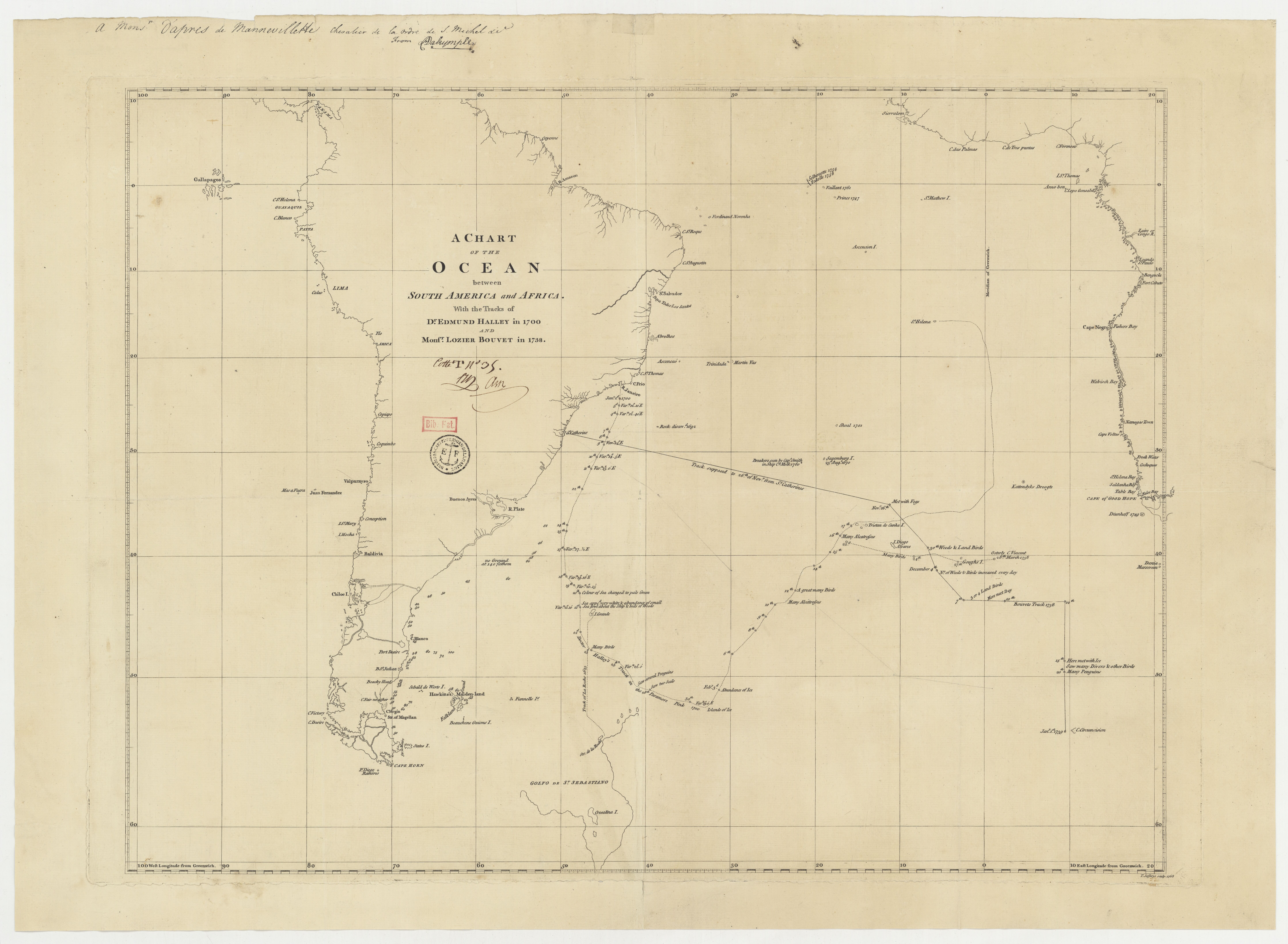
A chart of the Ocean between South America and Africa with the tracks of Dr. E. Halley and Mons. Bouvet - Jefferys - btv1b53177482s.jpg - Gzen92Bot

Atlantic or Western Ocean - J. H. Moore - btv1b531774157 (1 of 2).jpg - Gzen92Bot

Chart of the Atlantic or Western Ocean - Bowles - btv1b531775128.jpg - Gzen92Bot

Bay of Biscay with the Soundings of Périgny - Mount & Page - btv1b531538846.jpg - Gzen92Bot

NIEUWE PAS KAART van't Opkoomen van 't NAAUW van de STRAAT, Beginnende aan de Spaansse Kust, van de Barles, en aan de Moorsse Kust, van S.ta Cruz het Naauw door - door HENDRIK LYNSLAGER Cap.t ter Zee in... - btv1b59664291 (1 of 2).jpg - Gzen92Bot

A new chart of the vast Atlantic Ocean avec notice - btv1b531687893.jpg - Gzen92Bot

Atlantique Sud avec les routes de Bouvet, Cook, etc. - btv1b531774926 (1 of 2).jpg - Gzen92Bot

Nouvel atlas de Marine composé d'une carte générale, et de XII cartes particulières, qui représentent le globe terrestre jusqu'au 82e degré du côté du nord, et jusqu'au 60e du côté du Sud. Le... - btv1b5970588n (22 of 23).jpg - Gzen92Bot

New one sheet chart of the Atlantic or Western Ocean - Bowles - btv1b53168633z.jpg - Gzen92Bot

A new generall chart for the West Indies (sic) - H. Moll f. - btv1b5963475b.jpg - Gzen92Bot

Carte du golfe de Gascogne contenant les costes de France et d'Espagne depuis l'Isle d'Ouessant jusqu'au cap de Finisterre. Levée et gravée par ordre du Roy - btv1b531816441 (1 of 2).jpg - Gzen92Bot

A new and accurate chart of the vast Atlantic or Western Ocean - E. Bowen - btv1b53177498w.jpg - Gzen92Bot

A general chart from England to cape Bona Esperanca with the coast of Brasil - by Sam. Thornton - btv1b8595161c.jpg - Gzen92Bot

Atlantic or Western Ocean - J. H. Moore - btv1b531775145 (1 of 2).jpg - Gzen92Bot

A Plat from England to Cape Bona Esperança - btv1b531774191.jpg - Gzen92Bot

Atlantique Sud avec les routes de Bouvet, Cook, etc. - btv1b53177491r.jpg - Gzen92Bot
❮
❯


