Wikimedi'Òc
Modes d'emploi

Cet album fait partie des albums


Map of the Aegean Sea in 1791 by Reilly 018.jpg - Ephraim33

Archipelagus1770.jpg - Kontiger

William Faden. Composite Mediterranean. 1785.I.jpg - Geagea

William Faden. Composite Mediterranean. 1785.IB.jpg - Geagea

William Faden. Composite Mediterranean. 1785.ID.jpg - Geagea

William Faden. Composite Mediterranean. 1785.IE.jpg - Geagea

KKR-23 La Grece.jpg - Brest
A new chart of the ARCHIPELAGO NYPL1640680.tiff - Fæ
A new map of the islands of the Agean Sea, together with the island of Crete, and the adjoining isles. NYPL1630716.tiff - Fæ

Houghton MG 1070.1.2 - Dapper, Carte de L'Archipel.jpg - Rob at Houghton
THE ILLIAD OF HOMER (translated by POPE) p1.313 PHRYGIA.jpg - Metilsteiner

FALCONER(1764) p018 A CHART OF THE SHIP'S PATH FROM CANDIA TO CAPE COLONNA (COAST OF GREECE).jpg - Metilsteiner

Carte de la Grèce ancienne - Choiseul-gouffier Gabriel Florent Auguste De - 1782.jpg - Gts-tg

Carte de la Grèce moderne - Choiseul-gouffier Gabriel Florent Auguste De - 1782.jpg - Gts-tg

1780 map - Carte de la Grece Dressee sur un grand nombre de memoires anciens et nouveaux, Sur ceux de Mrs. Whele et Tournefort.jpg - Balkanique

1780 map of Thrace and Northern Greece.jpg - Balkanique

Map of Greece, Archipelago and part of Anadoli; Louis Stanislas d'Arcy Delarochette 1791.jpg - HerrAdams
A new map of the islands of the Ægean Sea, together with the island of Crete, and the adjoining isles (NYPL b15114268-1630716).tiff - Fæ

A new map of the islands of the Ægean Sea, together with the island of Crete, and the adjoining isles (NYPL b15114268-1630716).jpg - Fæ
Greek Archipelago RMG F1770.tiff - Fæ
Natolia oder die Turctei RMG F1735.tiff - Fæ
Map - Special Collections University of Amsterdam - OTM- HB-KZL 34.27.13.tif - DeJong2332
Map - Special Collections University of Amsterdam - OTM- HB-KZL 33.06.17.tif - DeJong2332
Map - Special Collections University of Amsterdam - OTM- HB-KZL 33.06.22.tif - DeJong2332

Griechenland BV000718434.jpg - H.bauer26

1786 map of The Sea of Marmara or Propontis with the Straits of Constantinople and of Gallipoli.jpg - Balkanique

1785 - Carte de la ville de Constantinople et du Bosphore de Thrace - Carte de la Mer de Marmora - Carte réduite des côtes de la Grèce et de L'Archipel.jpg - Balkanique

1788 map - Teatro marittimo della guerra presente ossia l'arcipelago.jpg - Balkanique

1785 map - Turchia d'Europa - divisa nelle sue provincie, e governi - di nuova projezione.jpg - Balkanique

Kaart van Zuid-Griekenland Graeciae pars meridionalis Graeciae antiquae tabula nova (titel op object), RP-P-2018-1160.jpg - Mr.Nostalgic

Ca, 1717 Dutch map of the Aegean Sea.jpg - Balkanique
1730 map of the Aegean Sea by Guillaume de L'Isle.tif - Balkanique

1746 map of the Aegean Sea - Carte de l'Archipel Aussi Corrigee par F. Olivier Pilote Vice-Admiral au Departement de Toulon en 1746.jpg - Balkanique

1740 map of Ancient Greece by Matthaus Seutter.jpg - Balkanique

Ca. 1730 map of the Northwestern Aegean Sea by Johannes van Keulen.jpg - Balkanique

Ca. 1730 map of North Eastern Greece and the Aegean by Johannes van Keulen.jpg - Balkanique

Jeu des cartes géographiques - S. L. Hegrad (32) - L'archipel de la Grèce.jpg - GrandCelinien

Ca. 1717 van Keulen chart of the Aegean Sea and the Sea of Marmara.jpg - Balkanique

A map of the Coasts of Greece and Archipelago - 1786 map of The Sea of Marmara or Propontis with the Straits of Constantinople and of Gallipoli (cropped).jpg - Balkanique
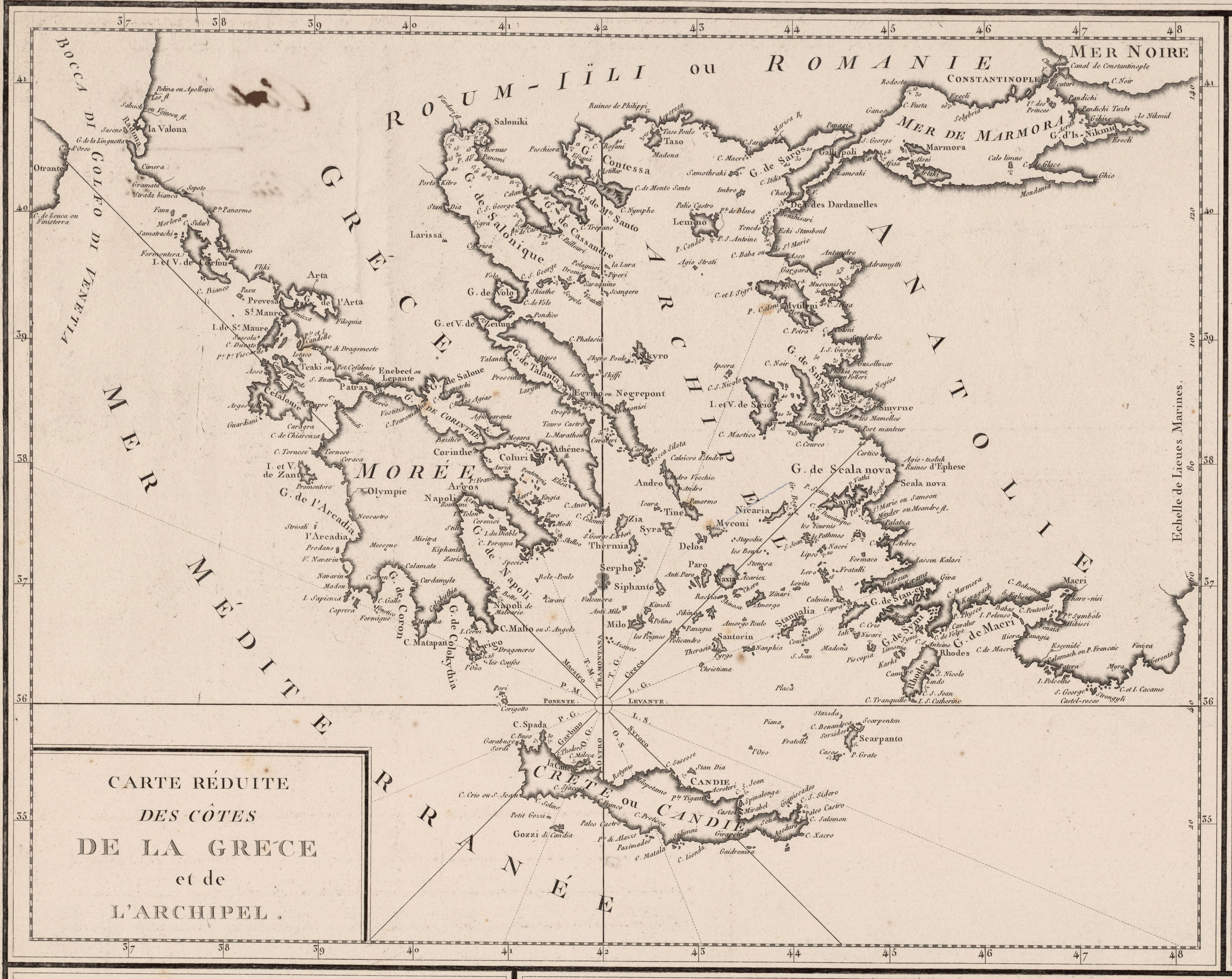
1785 - Carte réduite des côtes de la Grèce et de L'Archipel (cropped).jpg - Balkanique

Map of Thrace and Greece (1743) (14773367155) (cropped).jpg - Balkanique

1756 map - Les Côtes de la Grèce et l'Archipel.jpg - Balkanique

A New Map of the Islands of the Aegaean Sea, Together with the Island of Crete And the Adjoyning Isles. Dedicated to his Highess William Duke of Glocester.jpg - Balkanique
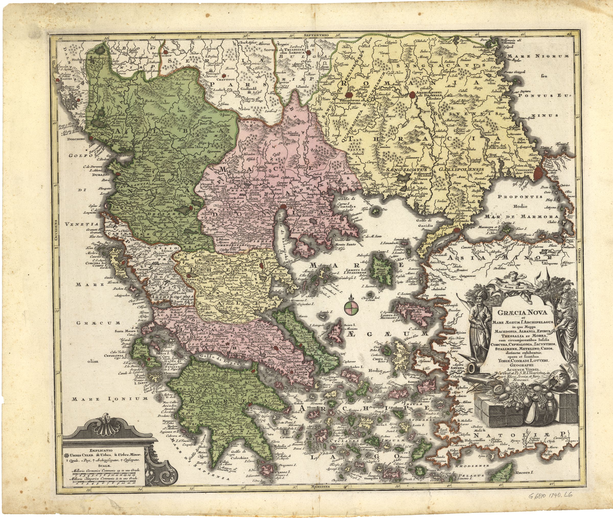
Graecia nova et mare Aegeum (c.1740).jpg - Bes-ART

Carta dell'Arcipelago - btv1b53032953n (1 of 2).jpg - Gzen92Bot

Carta dell'Arcipelago - btv1b53032953n (2 of 2).jpg - Gzen92Bot

Les Côtes de la Grèce et l'Archipel - par le S(ieu)r d'Anville de l'Académie R(oya)le des Inscriptions et Belles-Lettres et de celle des Sciences de Pétersbourg, Sécrétaire (sic) de S.A.S. Mgr (ie Monseigneur)... - btv1b53083457f.jpg - Gzen92Bot

Carte reduite de l'archipel pour servir aux vaisseaux du roy - dressée au depost des cartes, plans et journaux de la marine ; par ordre de Mgr. le comte de Maurepas ; Dheulland sculp. - btv1b53033686f.jpg - Gzen92Bot

Carte de l'Archipel présentée à Monseigneur le Comte de Maurepas - par le Sr Grognard, Pilote entretenu du Département de Toulon - btv1b5973286q.jpg - Gzen92Bot

Carte de l'Archipel présentée à Monseign.r le Comte de Maurepas - par le Sr Grognard, Pilote entretenu du Département de Toulon - btv1b531794277 (1 of 2).jpg - Gzen92Bot

Carte d'une partie des côtes de Natolie et de Caramanie, de Lango à Chélidonia, avec les îles de Rhodes et environnantes - btv1b532307976.jpg - Gzen92Bot

Carte de l'archipel présentée à Monseigneur le comte de Maurepas - par le Sr Grognard, pilote entretenu du département de Toulon - btv1b53012121v.jpg - Gzen92Bot

The Sea of Marmara or Propontis with the straits of Constantinople and of Galipoli - by Wm. Faden, geographer to the King ; W. Palmer sculp. - btv1b531006374 (1 of 2).jpg - Gzen92Bot

Joseph Roux, Carte de la Mer Mediterranée (FL13733983 3373963).jpg - Geagea

Joseph Roux, Carte de la Mer Mediterranée (FL13734007 3373962).jpg - Geagea

L' Archipel, la Grece, la Morée et partie de la Natolie - btv1b53214055r (1 of 2).jpg - Enyavar