Wikimedi'Òc
Modes d'emploi


Cet album fait partie des albums
Cet album photos contient les sous-albums suivants :


Darien colony.jpg - Snotty

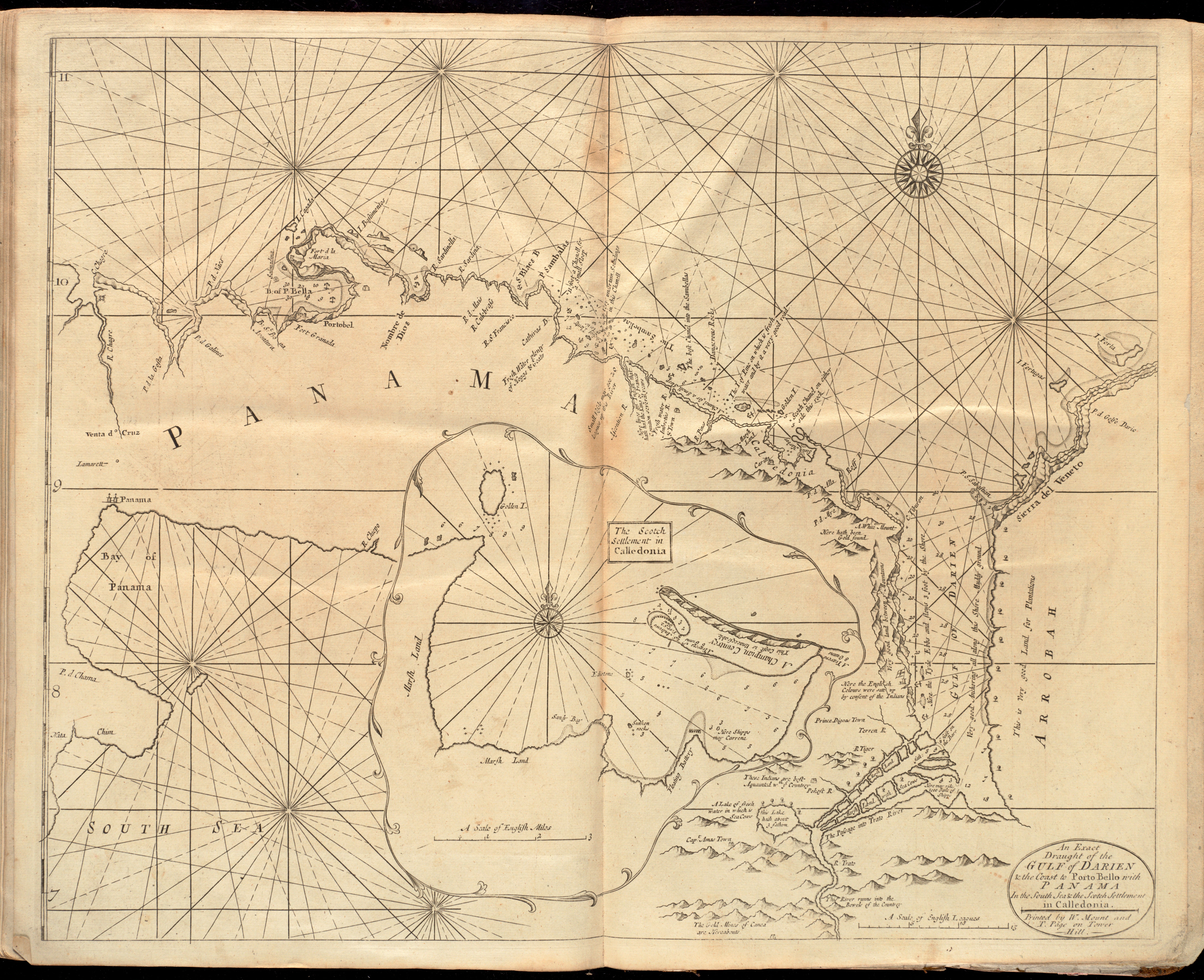
An exact draught of the gulf of Darien & the coast to Porto Bello with Panama in the south sea & the Scotch settlement in Calledonia (9492654597).jpg - File Upload Bot (Magnus Manske)
Rigobert-Bonne-Atlas-de-toutes-les-parties-connues-du-globe-terrestre MG 0009.tif - Hansmuller

Nieuwe en beknopte hand-atlas - 1754 - UB Radboud Uni Nijmegen - 209718609 101 Landengte van Panama.jpeg - Spinster

A large draught of the GULF OF DARIEN with the coast to PORTO BELLA with a perticular draught of the scotch settlement in calledonia (NYPL b13909432-1640614).jpg - Fæ

"Pl. VIII". Plan de la Baye et Ville de Portobelo (20026732596).jpg - Tm

A voyage to the South Sea, and round the world, perform'd in the years 1708, 1709, 1710, and 1711 Fleuron T145982-37.png - Fæ
Carta esférica del Golfo de Panama LOC 90680560.tif - Fæ

Carta esférica del Golfo de Panama LOC 90680560.jpg - Fæ
Plano de la costa de Puerto Velo qe. comprehende desde el Canal de Juan Gallegos hasta la Ya. de Naranjos segun el LOC 90680561.tif - Fæ

Plano de la costa de Puerto Velo qe. comprehende desde el Canal de Juan Gallegos hasta la Ya. de Naranjos segun el LOC 90680561.jpg - Fæ

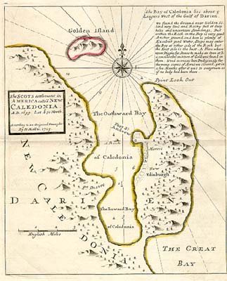
The SCOTS settlement in AMERICA calle'd NEW CALEDONIA - Herman Moll, 1732-1736 - BL Maps K.Top.124.24.1 (BLL01018640938).jpg - JhealdBot

A PLAN of the HARBOUR and Parts of adjacent on the ISTHMUS of DARIEN where the SCOTCH COMPANY was settled - Justly Watson, 1743 - BL Maps K.Top.124.24.2 (BLL01018640966).jpg - JhealdBot

1778 plano de Tierra Firme.jpg - Hispalois
Cartes et plans de l'Amerique. LOC 2003623376-36.tif - Fæ

Cartes et plans de l'Amerique. LOC 2003623376-36.jpg - Fæ

Dieser Grund-Riss von dem Hafen, der Stadt u. den Forten von Porto-belo.jpg - Higgenhorscht

Panama Nautical Chart 1775.jpg - Kognos

Darien Nautical Chart 1737.jpg - Kognos

Broadside of maps and views of Admiral Edward Vernon's capture of Portobello, Panama, during the War of Jenkins' Ear 35134.jpg - Broichmore

A Plan of the East end of the Island of Quibo (BM 1918,0423.48).jpg - Copyfraud

Map BastimentosAnchorage Portobelo Panama Circa1700.png - Lobsterthermidor

Bastimentos Portobelo Panama Map Circa1700 Detail.png - Lobsterthermidor

Broadside of maps and views of Admiral Edward Vernon's capture of Portobello, Panama, during the War of Jenkins' Ear 35134 (cropped).jpg - Arjuno3

Carte manuscrite de la Côte du Golfe du Mexique depuis l'entrée du Darien jusqu'au Puerto du Nombre de dios - btv1b85964283.jpg - Gzen92Bot

Carte de l'isthme de Panama et des provinces de Veragua Terre Ferme et Darien - btv1b8596410d.jpg - Gzen92Bot

Carte depuis Punta Burica jusqu'à Sugger Loaf et les isles de Contera - btv1b8596170n.jpg - Gzen92Bot

L'Isle Escudo de Verragu. Ici en cet Isle gist le corps ou cadavre de François Draeck - (par Jean-Baptiste d'Anville) - btv1b53008986c.jpg - Gzen92Bot

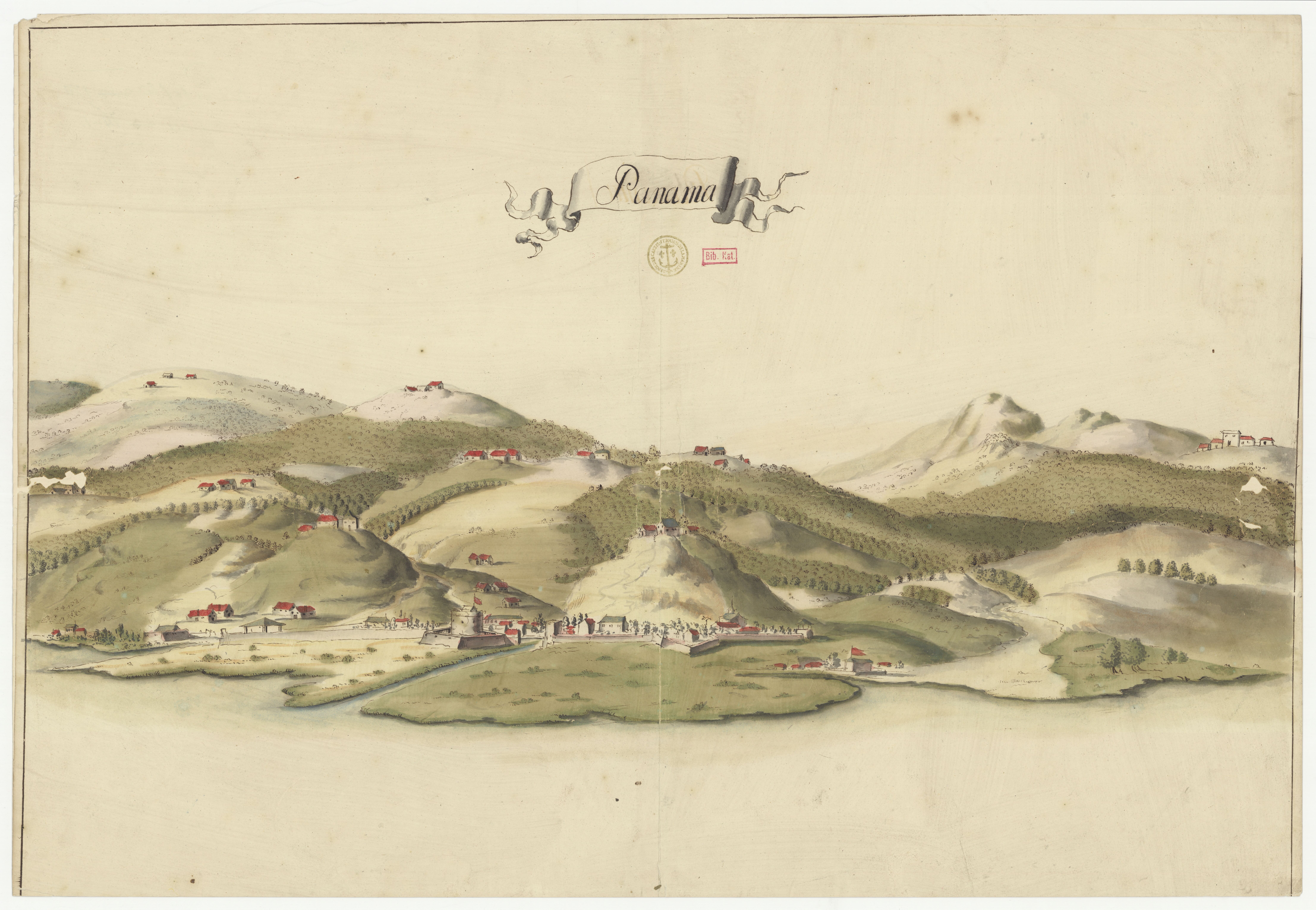
Panama - btv1b53123333v.jpg - Gzen92Bot

Carte espagnole des côtes du Nicaragua, du Costa Rica, de Panama, de la Colombie - btv1b5970808n.jpg - Gzen92Bot

Nova Isthmi Americani, qui et Pananiensis item Dariensis, tabula, in qua urbes Porto Bello, Panana et Carthagena, verissimis suis locis positae, summo studio emendata, atque novissimis observationibus in lucem edita... - btv1b59731211.jpg - Gzen92Bot

Carte particulière de l'isthme de Panama, golfe de Darien, côte de Carthagène jusqu'à Ste Marthe - par le S(ieu)r d'Anville, geographe ord(inai)re du roi - btv1b530169737 (1 of 2).jpg - Gzen92Bot

Carte particulière de l'isthme de Panama, golfe de Darien, côte de Carthagène jusqu'à Ste Marthe - par le S(ieu)r d'Anville, geographe ord(inai)re du roi - btv1b530169737 (2 of 2).jpg - Gzen92Bot

Carte de la région du Chiriqui, tirée d'un ms communiqué par la Condamine - par Jean-Baptiste d'Anville - btv1b53008998p (2 of 2).jpg - Gzen92Bot

L'Istme et golfes de Panama et de Darien dressés pour l'intelligence des voyages de Lionnel Waffer - par N. de Fer... ; A. Coquart sculpsit... - btv1b53177820x (1 of 2).jpg - Gzen92Bot

Carte particulière de l'isthme de Panama, golfe de Darien, côte de Carthagene, jusqu'à Ste Marthe - par le Sr d'Anville géographe ordinaire du roi - btv1b8596408b.jpg - Gzen92Bot

Carte des provinces de Tierra Firme, Darien, Carthagene et Nouvelle Grenade - tirée des meilleures cartes et en particulier de l'Amérique de M. d'Anville (par N. Bellin) - btv1b85964053.jpg - Gzen92Bot

Carte particulière de l'isthme de Panama golfe de Darien, côte de Carthagene, jusqu'à Ste Marthe - par le Sr d'Anville... - btv1b8596407x.jpg - Gzen92Bot

Carte de l'isthme de Darien et du golfe de Panama - btv1b8596409r.jpg - Gzen92Bot

Carte espagnole de la baya de Zispata à Punta Escudo - btv1b53123218w.jpg - Gzen92Bot

Carte du golfe darien depuis l'isle de la tortue jusqu'à la Caridonne et les Samblasses - Lemoine fecit - btv1b53121811b.jpg - Gzen92Bot

Plan du havre, ville et forts de Porto-Bello - btv1b5970821h.jpg - Gzen92Bot

Carte particuliere de l'Isthme de Panama, golfe de Darien, côte de Carthagene, jusqu'à Ste Marthe - par le Sr. d'Anville géographe ordinaire du roi - btv1b53177819j (1 of 2).jpg - Gzen92Bot

An exact draught of the Gulf of Darien & the coast to Porto Bello with Panama in the South sea & the Scotch settlement in Calledonia - printed by W. Mount and T. Page... - btv1b85964268.jpg - Gzen92Bot

Ile baie et rio Chiriqui - par Jean-Baptiste d'Anville - btv1b530091014.jpg - Gzen92Bot

Nueva y correcta carta del mar Pacifico ó del Sur construicta por las mejores noticias delos pilotos de ella, y las mas exactas observaciones Astronomicas y Nauticas en el año de 1744 - btv1b531233114.jpg - Gzen92Bot

Rade du Darien et les isles voisines - (par J.N. Bellin) - btv1b8596439w.jpg - Gzen92Bot

A Sequel of the Seat of War in the West Indies containing (1) a Map of the Isthmus of Panama exhibiting the Roads with the Course of the River Châgre thro the same (2) Curious Perspective Views of the Harbour, Town... - btv1b8493166k.jpg - Gzen92Bot

L'istme et golfe de Panama et de Darien... - par N. de Fer... ; A. Coquart sculpsit... - btv1b8491094x.jpg - Gzen92Bot

Panama - btv1b59708092.jpg - Gzen92Bot

Nueva y correcta carta del mar Pacifico ó del Sur construicta por las mejores noticias delos pilotos de ella, y las mas exactas observaciones Astronomicas y Nauticas el año de 1744 - Vi(cen)te de la Fuente f. - btv1b531233099.jpg - Gzen92Bot

A large & accurate map of the Isthmus of Panama, taken from a Spanish draught exhibiting the Country adjacent to that City and Puerto Bello, with the roads and course of the River Chagré, by wich the Treasure of the... - btv1b8596422m.jpg - Gzen92Bot

Plan du havre, ville et forts de Porto-Bello - btv1b5970822x.jpg - Gzen92Bot

Carte manuscrite de la Côte du Golfe du Mexique depuis l'Escudo de Berruaga jusqu'à l'entrée du Golfe de Darien - btv1b8596427p.jpg - Gzen92Bot

Nueva y correcta carta del mar Pacifico ó del Sur - Vicente de la Fuente f. - btv1b53053066z.jpg - Gzen92Bot

Plan du port et ville de Porto Belo - btv1b5970824r.jpg - Gzen92Bot

L'isthme et la baye de Panama et le Darien - D'Anville - btv1b8596411t.jpg - Gzen92Bot

Panama Map.jpg - Baddu676

Panana Isthmus - cropped.jpg - Eastfarthingan
Carta náutica de América Central (1790) Capitanía General de Guatemala.pdf - ANAGSPC

Plan du port et ville de Porto Belo - btv1b59708255.jpg - Gzen92Bot

Een Gedeelte van de zuydt zec vertoonende de golf van Panama en Pueblo... - btv1b532455158.jpg - Gzen92Bot

Map of Puerto Bello during war, 1740.jpg - Enyavar