×

Map of the United States of America, the British provinces, Mexico, the West Indies and Central America, with part of New Granada and Venezuela (9136492061).jpg - File Upload Bot (Magnus Manske)

Appletons' illustrated hand-book of American travel. A full and reliable guide to the United States and the British provinces. With careful maps of all parts of the country, and pictures of famous (14762002486).jpg - Fæ

Appletons' illustrated hand-book of American travel. A full and reliable guide to the United States and the British provinces. With careful maps of all parts of the country, and pictures of famous (14782608754).jpg - Fæ

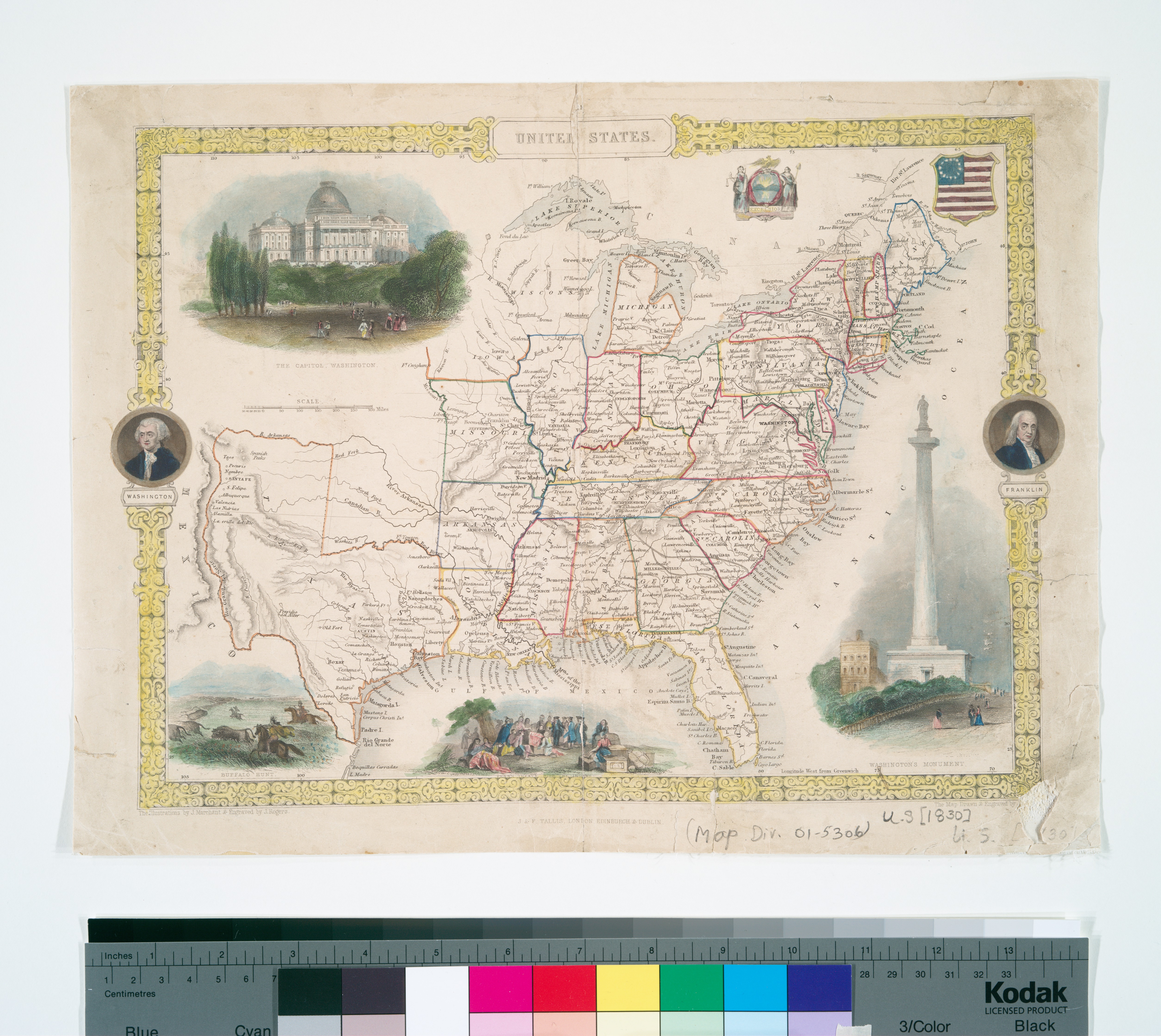
United States (NYPL b15108581-489825).jpg - SteinsplitterBot

Map of the Lake Region, St. Lawrence Valley and surrounding country (NYPL b15112862-434065).tiff - SteinsplitterBot

Disturnell's new map of the United States and Canada showing all the canals, rail roads, telegraph lines and principal stage routes (NYPL b20643900-5422764).jpg - Fæ

Map of the United States and their territories between the Mississippi and the Pacific Ocean and of part of Mexico (NYPL b15851321-489824).jpg - Fæ

Disturnell's new map of the United States and Canada showing all the canals, rail roads, telegraph lines and principal stage routes (10175086594).jpg - Fæ

Disturnell's new map of the United States and Canada showing all the canals, rail roads, telegraph lines and principal stage routes. LOC gm70005366.jpg - Fæ

Meyer‘s Zeitungsatlas 102 – Vereinigte Staaten von Nord-America und Mexico.jpg - Derbrauni

1850 map of New England.jpg - Illegitimate Barrister

Map of the United States and their Territories Between the Mississippi River and Pacific Ocean and Part of Mexico (2) - NARA - 78117110 (page 1).jpg - US National Archives bot

Map of the United States and their Territories Between the Mississippi River and Pacific Ocean and Part of Mexico (2) - NARA - 78117110 (page 2).jpg - US National Archives bot

Map of the United States and their Territories - NARA - 6860623.jpg - US National Archives bot
❮
❯


