Wikimedi'Òc
Modes d'emploi

Cet album fait partie des albums
Cet album photos contient les sous-albums suivants :


1855 Colton Map of Washington and Oregon - Geographicus - WashingtonOregon-colton-1855.jpg - BotMultichillT

Map of the Coast of Southern Oregon drawn by Lieutenant A. V. Kautz - NARA - 93193208.jpg - US National Archives bot

1854 U.S. Coast Survey Chart or Map of California and Oregan north of San Francisco - Geographicus - WestCoastMiddle-uscs-1854.jpg - BotMultichillT

1853 Colton Map of Washington and Oregon ( w- Montana, Idaho ) - Geographicus - WAOR-colton-1853.jpg - BotMultichillT

Oregon City. LOC 75694933.jpg - Fæ

Surveyed Oregon Territory 1852.jpg - Peteforsyth

From the northern boundary of California to the Columbia River - from explorations and surveys LOC 98688434.jpg - Fæ

Map of the state of Oregon and Washington territory LOC 2015591073.jpg - Fæ
A diagram of Oregon LOC 2019586291.tif - Fæ
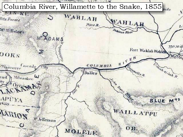
Uw-archives map columbia river 1855.jpg - Geo Swan

From the U.S. Coast Survey Chart No. 602 from San Francisco to Umpquah River - NARA - 122206755.jpg - US National Archives bot

Admiralty Chart No 2531 Cape Mendocino to Vancouver Island, Published 1858.jpg - Kognos

Atlas Of The United States Of North America, Canada, New Brunswick, Nova Scotia, Newfoundland, Mexico, Central America, Cuba, And Jamaica. On A Uniform Scale. From The Most Recent State Documents... - btv1b525136486 (049 of 116).jpg - Gzen92Bot

Plan of the battle of Grande Ronde, fought Jul 17, 1856, by W. W. De Lacy. Courtesy Beinecke Rare Book and Manuscript Library.jpg - Zane A Smith

Diagram of a portion of Oregon Territory, 1852.jpg - OceanLoop