Wikimedi'Òc
Modes d'emploi

Cet album fait partie des albums


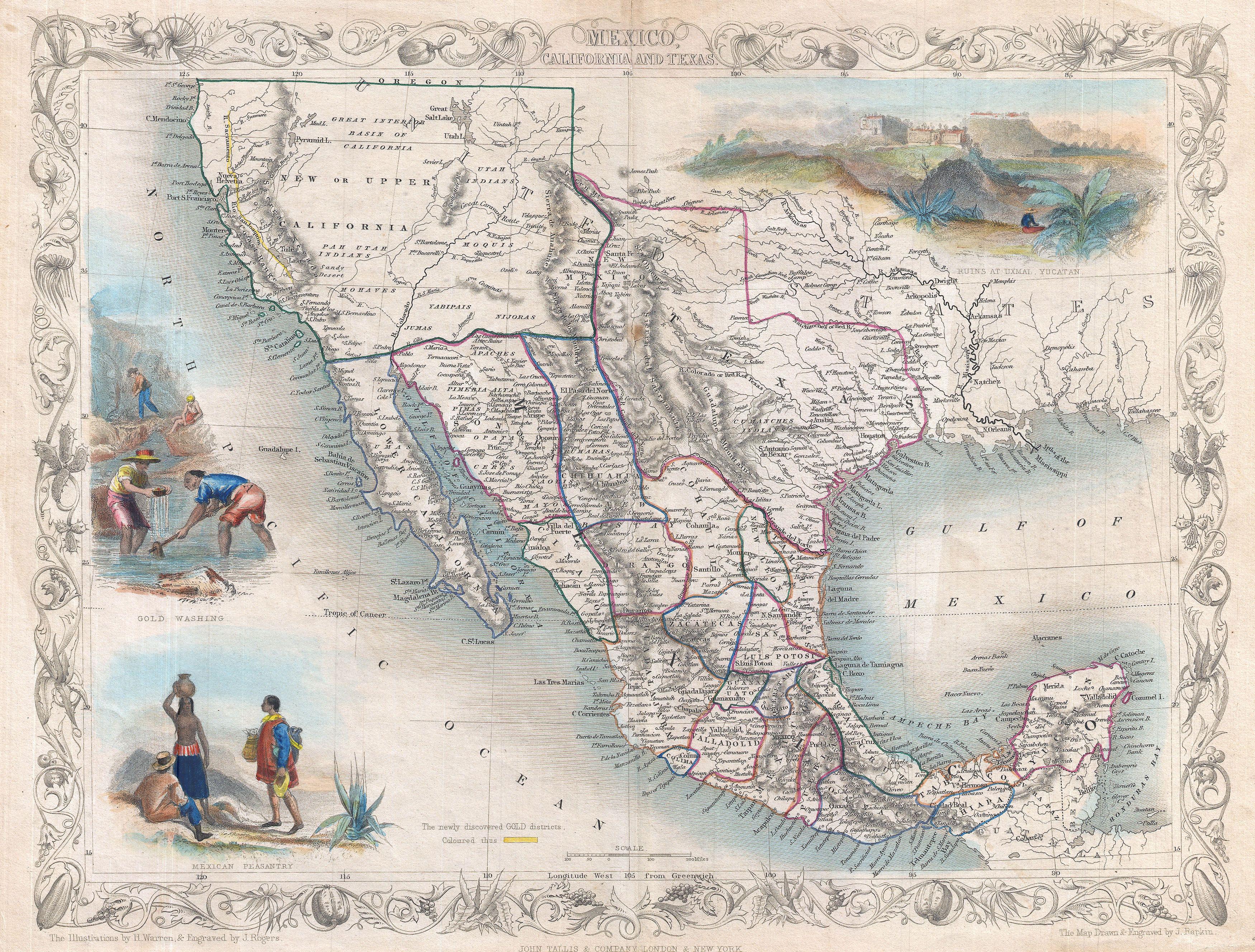
1851 Tallis Map of Mexico, Texas, and California - Geographicus - MexicoTexas2-tallis-1851.jpg - BotMultichillT

1858 Pacific Railroad Surveys.jpg - Flickr upload bot

Sketch showing the route of the New Orleans, Opelousas & Great Western Rail Road, J. G. Gibbes, Chief Engr., lithographie (sic) agent D. Theuret, Exange Alley, Nr. 130. LOC 98688728.jpg - Fæ

1853 Mitchell Map of California, Oregon, Washington, Utah ^ New Mexico - Geographicus - CAORWAUTNM-mitchell-1853.jpg - BotMultichillT

Map of the Northwest vicinity of Camp Prescott, Arizona - NARA - 93193274.jpg - US National Archives bot