Wikimedi'Òc
Modes d'emploi

Cet album fait partie des albums
Cet album photos contient les sous-albums suivants :


Mohave County Incorporated and Unincorporated areas Wikieup highlighted.svg - Shereth

Wikieup AZ.jpg - Jonathanmallard

Wikieup, AZ Snoopy Rocket repainted by Boy Scout Troop 194 for Eagle Scout Project.JPG - Ameliastclair

Looking North from the Big Sandy Valley Historical Marker - panoramio.jpg - Panoramio upload bot

Looking South from the Big Sandy Wash Historical Marker - panoramio.jpg - Panoramio upload bot

Wikieup, AZ, U.S. Highway 93, 2011 - panoramio.jpg - Panoramio upload bot

Wikieup, AZ, U.S. Highway 93, 2011 - panoramio (1).jpg - Panoramio upload bot

Wikiup, AZ, Afternoon - panoramio.jpg - Panoramio upload bot

Wikieup, AZ, View N, Big Sandy Wash and Big Sandy River - panoramio.jpg - Panoramio upload bot

U.S. Highway 93 AZ, View W, Burro Creek Campground Exit, 2011 - panoramio.jpg - Panoramio upload bot

U.S. Highway 93 AZ, View N, Burro Creek Campground Exit, 2011 - panoramio.jpg - Panoramio upload bot

U.S. Highway 93 AZ, View S, Burro Creek Campground Exit, 2011 - panoramio.jpg - Panoramio upload bot

U.S. Highway 93 AZ, View E, Burro Creek Campground Exit, 2011 - panoramio.jpg - Panoramio upload bot

Mohave County Arizona Incorporated and Unincorporated areas Wikieup Highlighted 0482880.svg - FSock
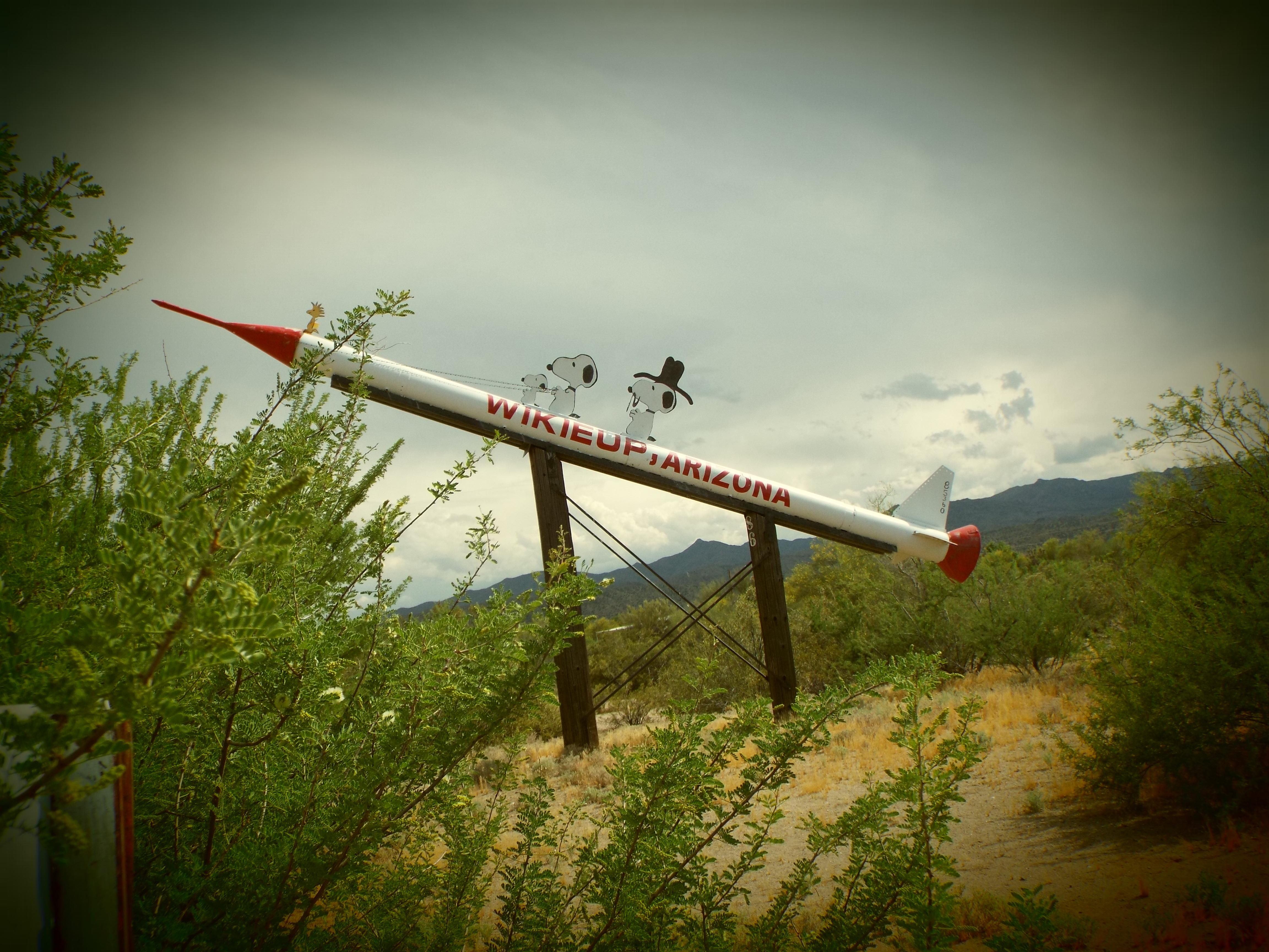
Wikieup-Snoopy Rocket-1960-2.jpg - Marine 69-71
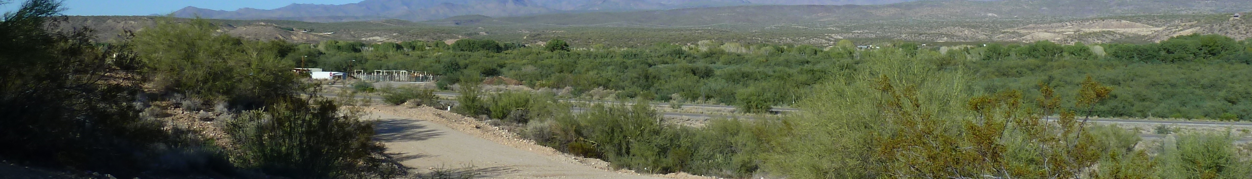
Wikieup Banner.jpg - SelfieCity