Wikimedi'Òc
Modes d'emploi

Cet album fait partie des albums


Steel for New Northbound Arch Floor (16636556511).jpg - Ser Amantio di Nicolao
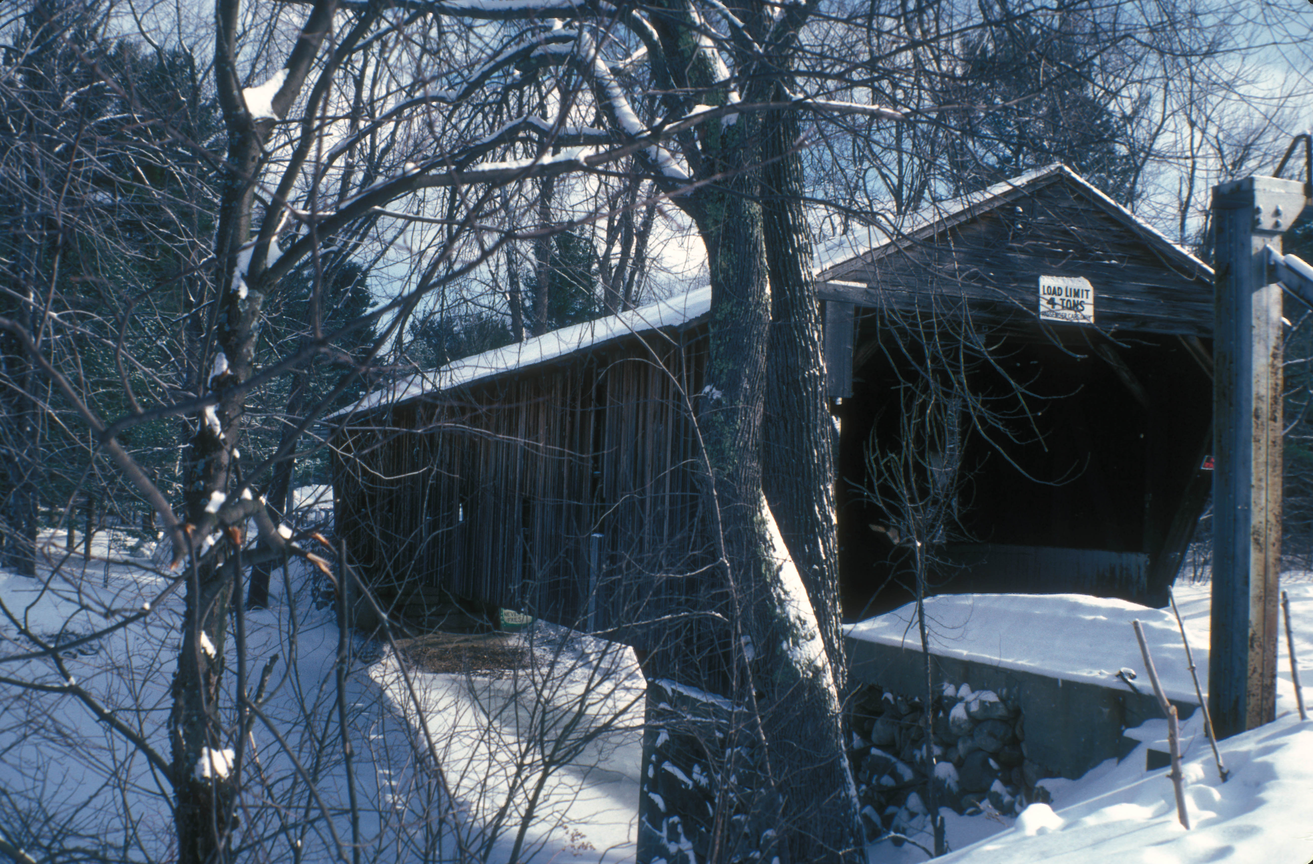
WHITTIER BIRDGE.jpg - Cropbot
Deck Plan 2008, Reflected Deck Plan-Reflected Ceiling Plan 2008 - Whittier Bridge, Spanning the Bearcamp River, West Ossipee, Carroll County, NH HAER NH-50 (sheet 2 of 9).tif - Fæ
Whittier Bridge, Paddleford Truss, 1870, Title Sheet - Whittier Bridge, Spanning the Bearcamp River, West Ossipee, Carroll County, NH HAER NH-50 (sheet 1 of 9).tif - Fæ
Timeline of Rehabilitation - Whittier Bridge, Spanning the Bearcamp River, West Ossipee, Carroll County, NH HAER NH-50 (sheet 5 of 9).tif - Fæ
Post Configuration West Elevation - Whittier Bridge, Spanning the Bearcamp River, West Ossipee, Carroll County, NH HAER NH-50 (sheet 6 of 9).tif - Fæ
Post Configuration East Elevation - Whittier Bridge, Spanning the Bearcamp River, West Ossipee, Carroll County, NH HAER NH-50 (sheet 7 of 9).tif - Fæ
South Elevation 2008, Section B-B 2008 - Whittier Bridge, Spanning the Bearcamp River, West Ossipee, Carroll County, NH HAER NH-50 (sheet 4 of 9).tif - Fæ
East Elevation 2008, Longitudinal Section A-A 2008 - Whittier Bridge, Spanning the Bearcamp River, West Ossipee, Carroll County, NH HAER NH-50 (sheet 3 of 9).tif - Fæ
Perspective Cut Away - Whittier Bridge, Spanning the Bearcamp River, West Ossipee, Carroll County, NH HAER NH-50 (sheet 8 of 9).tif - Fæ
Hardware Repair Details; - Whittier Bridge, Spanning the Bearcamp River, West Ossipee, Carroll County, NH HAER NH-50 (sheet 9 of 9).tif - Fæ

East Elevation 2008, Longitudinal Section A-A 2008 - Whittier Bridge, Spanning the Bearcamp River, West Ossipee, Carroll County, NH HAER NH-50 (sheet 3 of 9).png - Fæ

Deck Plan 2008, Reflected Deck Plan-Reflected Ceiling Plan 2008 - Whittier Bridge, Spanning the Bearcamp River, West Ossipee, Carroll County, NH HAER NH-50 (sheet 2 of 9).png - Fæ

Hardware Repair Details; - Whittier Bridge, Spanning the Bearcamp River, West Ossipee, Carroll County, NH HAER NH-50 (sheet 9 of 9).png - Fæ