Wikimedi'Òc
Modes d'emploi

Cet album fait partie des albums
Cet album photos contient les sous-albums suivants :


The Great Wall - geograph.org.uk - 58168.jpg - GeographBot

Old Sheep Pens - geograph.org.uk - 128205.jpg - GeographBot

Flowery wall at Tynewydd farm - geograph.org.uk - 210689.jpg - GeographBot

After Another Good Lunch - geograph.org.uk - 249150.jpg - GeographBot

Built After A Good Lunch - geograph.org.uk - 249148.jpg - GeographBot

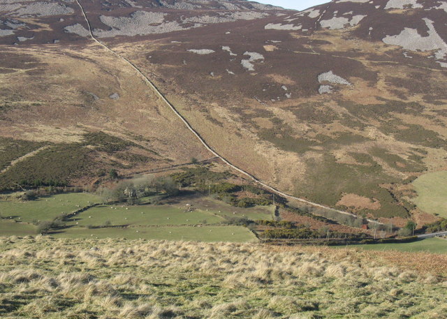
Built to Last - The Wall on The Summit of Bwlch Mawr - geograph.org.uk - 248007.jpg - GeographBot

Parallel walls - geograph.org.uk - 212424.jpg - GeographBot

Farm Boundary - geograph.org.uk - 249382.jpg - GeographBot

Lleyn stone wall - geograph.org.uk - 230989.jpg - GeographBot

Vandalism I - geograph.org.uk - 229157.jpg - GeographBot

Farm Boundary Wall - geograph.org.uk - 251209.jpg - GeographBot

Farm Boundary Wall on the Summit Plateau of Garnedd Goch - geograph.org.uk - 253832.jpg - GeographBot

Mountain Walls - geograph.org.uk - 253179.jpg - GeographBot

Pointed Wall - geograph.org.uk - 254450.jpg - GeographBot

A Farm Boundary Wall - geograph.org.uk - 264180.jpg - GeographBot

A close up of a wall - geograph.org.uk - 264198.jpg - GeographBot

A magnificent farm boundary wall - geograph.org.uk - 267133.jpg - GeographBot

Coed Gleision - geograph.org.uk - 260479.jpg - GeographBot

Inscription at Hen Waliau - geograph.org.uk - 263154.jpg - GeographBot

Window in the Wall - geograph.org.uk - 269890.jpg - GeographBot

An adwy beneath a sessile oak - geograph.org.uk - 277159.jpg - GeographBot

Approaching the boundary wall between Craflwyn Hall and Hafod y Porth land - geograph.org.uk - 279347.jpg - GeographBot

Bulging Walls - geograph.org.uk - 270349.jpg - GeographBot

Farm Boundary Wall - geograph.org.uk - 275571.jpg - GeographBot

Rhosydd Bach - geograph.org.uk - 276220.jpg - GeographBot

Ruined Wall - geograph.org.uk - 273377.jpg - GeographBot

The Base of the Eagle Tower and the Pen Deitsh Arch - geograph.org.uk - 276454.jpg - GeographBot

The boundary wall negotiates a rock outcrop - geograph.org.uk - 275574.jpg - GeographBot

View downslope along the Boundary Wall - geograph.org.uk - 275578.jpg - GeographBot

Approaching the Gorseddau Wall - geograph.org.uk - 282630.jpg - GeographBot

Beneath the overhanging wall - geograph.org.uk - 282635.jpg - GeographBot

Close-up of the overhanging wall - geograph.org.uk - 282638.jpg - GeographBot

Farm boundary wall below Moel Hebog - geograph.org.uk - 282343.jpg - GeographBot

Looking westwards along the Gorseddau wall - geograph.org.uk - 282644.jpg - GeographBot

Remains of an old homestead in Cwm Afon Goch - geograph.org.uk - 283359.jpg - GeographBot

The Bryn Banog mountain wall - geograph.org.uk - 283328.jpg - GeographBot

A ragged mountain wall - geograph.org.uk - 305426.jpg - GeographBot

Part of the Cefn-Du mountain wall - geograph.org.uk - 303575.jpg - GeographBot

Farm boundary wall on the lower slopes of Gyrn Goch - geograph.org.uk - 346209.jpg - GeographBot

Farm boundary wall on the summit of Gyrn Goch - geograph.org.uk - 345905.jpg - GeographBot

Stone walls and a rustic gate - geograph.org.uk - 341534.jpg - GeographBot

The meeting of the walls in the col between Gyrn Goch and Gyrn Ddu - geograph.org.uk - 344147.jpg - GeographBot

The Faenol Park wall running parallel with the B4547 - geograph.org.uk - 364369.jpg - GeographBot

Boundary wall and shelter belt of Treborth Hall from Ffordd Bronwydd - geograph.org.uk - 385496.jpg - GeographBot

Camfa. Stile. - geograph.org.uk - 390721.jpg - GeographBot

Farm boundary wall - geograph.org.uk - 390520.jpg - GeographBot

Low wall at the summit of Braich Llwyd - geograph.org.uk - 399875.jpg - GeographBot

Moss-covered walls on the driveway from Pen-rhiw-goch - geograph.org.uk - 394623.jpg - GeographBot

Ruined wall on the western slope of Y Garn - geograph.org.uk - 390174.jpg - GeographBot

Wal Fynydd. Mountain Wall. - geograph.org.uk - 392388.jpg - GeographBot

Wal yn y goedwig. Wall in the forest. - geograph.org.uk - 398233.jpg - GeographBot

Wall in Portmeirion - geograph.org.uk - 403504.jpg - GeographBot

Mountain wall and rock outcrops - geograph.org.uk - 410442.jpg - GeographBot

Farm boundary wall between Carnedd y Filiast and Mynydd Perfedd - geograph.org.uk - 427896.jpg - GeographBot

Mountain wall below the summit of Cefn yr Orsedd - geograph.org.uk - 425586.jpg - GeographBot

Stream gap in mountain wall - geograph.org.uk - 429260.jpg - GeographBot

Descending towards the mountain wall - geograph.org.uk - 437140.jpg - GeographBot

The mountain wall below Moel Faban - geograph.org.uk - 432504.jpg - GeographBot

Frith walls - geograph.org.uk - 449683.jpg - GeographBot

Moorland wall - geograph.org.uk - 449724.jpg - GeographBot

Mountain wall in Cwm-yr-haf - geograph.org.uk - 449670.jpg - GeographBot

Upright slate slab walling - geograph.org.uk - 443471.jpg - GeographBot

Moel Rhiwen park wall with the village of Rhiwlas in the background - geograph.org.uk - 455685.jpg - GeographBot

The Moel Rhiwen wall - geograph.org.uk - 452349.jpg - GeographBot

The Moel Rhiwen wall above Maes Meddygon - geograph.org.uk - 455692.jpg - GeographBot

The gate from the open moor giving access to the farm track - geograph.org.uk - 450118.jpg - GeographBot

View across mountain wall in the direction of Graig-Lwyd - geograph.org.uk - 450476.jpg - GeographBot

Boundary wall between Ffridd Bach and Waun y Griafolen - geograph.org.uk - 475318.jpg - GeographBot

Fence posts - geograph.org.uk - 478817.jpg - GeographBot

Mountain wall - geograph.org.uk - 476619.jpg - GeographBot

Mountain walls on Allt-lwyd - geograph.org.uk - 477151.jpg - GeographBot

Wall separating ffridd and mountain at Bryn-llin-fawr Farm - geograph.org.uk - 477281.jpg - GeographBot

Mountain wall near Ffynnon Shon - geograph.org.uk - 499533.jpg - GeographBot

Dry Stone Wall - geograph.org.uk - 502623.jpg - GeographBot

View of Dolgellau near Pen y Bwlch-coch - geograph.org.uk - 506451.jpg - GeographBot

Dry-stone field wall - geograph.org.uk - 513727.jpg - GeographBot

Dry stone wall crossing the valley - geograph.org.uk - 513876.jpg - GeographBot

Major boundary wall crossing the Ceunant Geifr valley - geograph.org.uk - 513906.jpg - GeographBot

Stone walls and roofless farm buildings at Llain Wen Farm - geograph.org.uk - 510745.jpg - GeographBot

Mountain wall south of Bwlch y Rhiwgyr - geograph.org.uk - 527475.jpg - GeographBot

A slight change of direction in the wall - geograph.org.uk - 532277.jpg - GeographBot

Above the parallel walls - geograph.org.uk - 537315.jpg - GeographBot

An 'up and down' path - geograph.org.uk - 537349.jpg - GeographBot

Approaching the mountain-forest wall - geograph.org.uk - 539615.jpg - GeographBot

Hillside wall - geograph.org.uk - 531838.jpg - GeographBot

Major moorland wall - geograph.org.uk - 531834.jpg - GeographBot

Mountain wall separating ffridd and open mountain - geograph.org.uk - 539592.jpg - GeographBot

Ridge wall NE of Bwlch y Rhiwgyr - geograph.org.uk - 530262.jpg - GeographBot

Ridge wall above Bwlch y Rhiwgyr - geograph.org.uk - 530253.jpg - GeographBot

Ridge wall running North-East from Bwlch y Rhiwgyr - geograph.org.uk - 530260.jpg - GeographBot

View east along the path between the parallel walls - geograph.org.uk - 537333.jpg - GeographBot

Wall separating the Egryn and Hafotty Mines - geograph.org.uk - 530379.jpg - GeographBot

Above the Ffridd y Castell wall - geograph.org.uk - 544455.jpg - GeographBot

Approaching the mountain wall along the almost vanished quarryman's track to Llanfachreth - geograph.org.uk - 544211.jpg - GeographBot

Fence-topped ffridd wall - geograph.org.uk - 547961.jpg - GeographBot

Ffridd wall along a projecting ridge - geograph.org.uk - 544762.jpg - GeographBot

The eagle mounted surrounding wall of Benglog (Hendre Ffridd y Mynach) - geograph.org.uk - 547516.jpg - GeographBot

The former walled garden of Hengwrt-uchaf-Aran Hall - geograph.org.uk - 541960.jpg - GeographBot

The boundary between improved pasture and frith - geograph.org.uk - 561491.jpg - GeographBot

The massive Maen Offeren Quarry boundary wall - geograph.org.uk - 562197.jpg - GeographBot

The sea-breached Penrhyn Castle estate wall - geograph.org.uk - 586023.jpg - GeographBot

Ffridd walls south of Bytilith - geograph.org.uk - 622777.jpg - GeographBot

Curved stone wall protecting track - geograph.org.uk - 645511.jpg - GeographBot

Curved wall protecting track - geograph.org.uk - 645514.jpg - GeographBot

The Great Walls of Wales - geograph.org.uk - 667041.jpg - GeographBot
Major farm boundary wall - geograph.org.uk - 707539.jpg - GeographBot

Field walls - geograph.org.uk - 719381.jpg - GeographBot

Ty Uchaf viewed from Y Benglog hill - geograph.org.uk - 717853.jpg - GeographBot

Walking down to Llanaber - geograph.org.uk - 715263.jpg - GeographBot

A sharp bend in the Rhobell Fawr traverse wall - geograph.org.uk - 726932.jpg - GeographBot

Serpentine wall and path - geograph.org.uk - 724353.jpg - GeographBot

Track from Pen-y-bwlch to Rhiwlas - geograph.org.uk - 728496.jpg - GeographBot

View south along the upper Babi valley - geograph.org.uk - 724359.jpg - GeographBot

Wall running westwards through a tiny col - geograph.org.uk - 727724.jpg - GeographBot

Track to Pen-y-bwlch - geograph.org.uk - 731257.jpg - GeographBot

Side view of the ancient field boundary - geograph.org.uk - 740135.jpg - GeographBot

View East along the inland road - geograph.org.uk - 746296.jpg - GeographBot

View west towards Bryn Cottages - geograph.org.uk - 740825.jpg - GeographBot

A tired wall leads down to Yr Ogof - geograph.org.uk - 804381.jpg - GeographBot

Bryn Eithin Farm from the quarry road - geograph.org.uk - 827545.jpg - GeographBot

Flying buttresses on Bardsey - geograph.org.uk - 904682.jpg - GeographBot

A wall of some sort - geograph.org.uk - 1112472.jpg - GeographBot
Boundary wall on Diffwys ridge - geograph.org.uk - 1754932.jpg - GeographBot

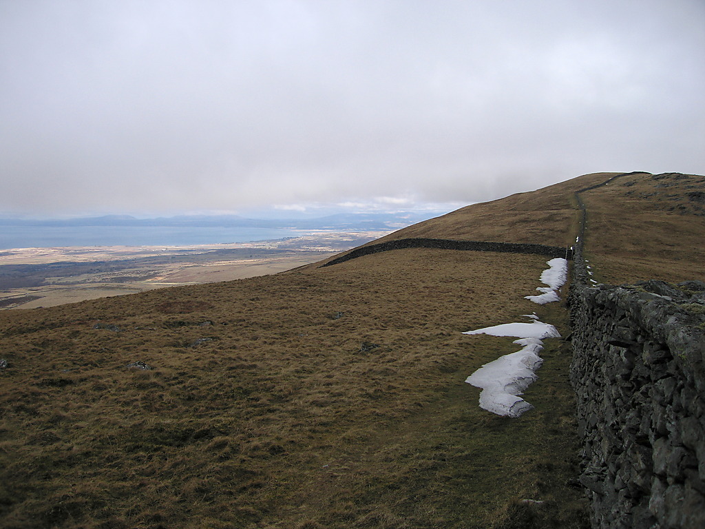
Bwlch y Rhiwgyr - geograph.org.uk - 1753084.jpg - GeographBot

Bangor, UK - panoramio (487).jpg - Panoramio upload bot

Bangor, UK - panoramio (488).jpg - Panoramio upload bot