Wikimedi'Òc
Modes d'emploi

Cet album fait partie des albums
Cet album photos contient les sous-albums suivants :


Gretna 0003.jpg - Doc-derek

Craigielands Country Park Camp Site - geograph.org.uk - 35876.jpg - GeographBot

Moffat Well - geograph.org.uk - 44382.jpg - GeographBot

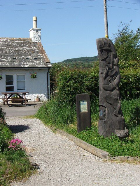
Information boards in Carrifran Valley - geograph.org.uk - 158119.jpg - GeographBot

Inside Bruce's cave - geograph.org.uk - 111074.jpg - GeographBot

Robert the Bruce's cave - geograph.org.uk - 111071.jpg - GeographBot

Evening rainbow at Castle Loch - geograph.org.uk - 186899.jpg - GeographBot

Penbane - geograph.org.uk - 196472.jpg - GeographBot
Visitors Centre Mersehead - geograph.org.uk - 180555.jpg - GeographBot

Ellisland Farm - geograph.org.uk - 220024.jpg - GeographBot

The road to the Golf Club - geograph.org.uk - 214714.jpg - GeographBot

The Mennock Pass - geograph.org.uk - 339535.jpg - GeographBot

Topiary Garden at Drumlanrig Castle - geograph.org.uk - 339615.jpg - GeographBot

Wamphray church - geograph.org.uk - 353761.jpg - GeographBot

AnnandaleBoardwalk.jpg - File Upload Bot (Magnus Manske)

Gretna Green, Scotland - geograph.org.uk - 403920.jpg - GeographBot

Gretna Green - geograph.org.uk - 403925.jpg - GeographBot

Templand - geograph.org.uk - 453182.jpg - GeographBot

Annanwater - geograph.org.uk - 470413.jpg - GeographBot
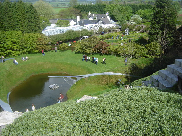
Portrack House and Sculpture Garden - geograph.org.uk - 471361.jpg - GeographBot

Loch Dee - geograph.org.uk - 497496.jpg - GeographBot

Caravan site at Riddindyke viewed from shore. - geograph.org.uk - 526261.jpg - GeographBot

Eastpark Visitor Centre - geograph.org.uk - 565500.jpg - GeographBot

Road to Hemplands - geograph.org.uk - 711243.jpg - GeographBot

Cream o' Galloway - Adventure Playground - geograph.org.uk - 752782.jpg - GeographBot

Bruce's Stone, Clatteringshaws - geograph.org.uk - 824672.jpg - GeographBot

Clatteringshaws Iron Age Roundhouse reconstruction - geograph.org.uk - 888722.jpg - GeographBot

Reconstruction of Iron Age Roundhouse - geograph.org.uk - 927653.jpg - GeographBot

Bruce's Stone, Moss Raploch - geograph.org.uk - 1015137.jpg - GeographBot

Setting Sun - geograph.org.uk - 1071302.jpg - GeographBot

Path at the RSPB Mersehead reserve - geograph.org.uk - 1103757.jpg - GeographBot

Path at the RSPB Mersehead reserve - geograph.org.uk - 1103771.jpg - GeographBot

Track at Mersehead - geograph.org.uk - 1103827.jpg - GeographBot

Track at Mersehead - geograph.org.uk - 1103828.jpg - GeographBot

Kenmure Holms - North East Entrance - geograph.org.uk - 1305641.jpg - GeographBot

Auchenlarie Holiday Park - geograph.org.uk - 1362235.jpg - GeographBot

Auchenlarie Holiday Park - geograph.org.uk - 1362266.jpg - GeographBot

Road sign giving distance to the Kenick Burn car park. - geograph.org.uk - 1362590.jpg - GeographBot

Bruce's Stone, Clatteringshaws Loch - geograph.org.uk - 1442184.jpg - GeographBot

A track at Clatteringshaws Loch - geograph.org.uk - 1575019.jpg - GeographBot

Bruce's Stone, Moss Raploch - geograph.org.uk - 1574926.jpg - GeographBot
Car park at Bruce's Stone - geograph.org.uk - 1574875.jpg - GeographBot

The Otter Pool on the River Cree, Galloway - geograph.org.uk - 1588613.jpg - GeographBot

The Smithy Tea Rooms - geograph.org.uk - 1618807.jpg - GeographBot

Kenmure Castle and Kenmure Holms, Kells, Kirkcudbrightshire.jpg - Bjh21