Wikimedi'Òc
Modes d'emploi

Cet album fait partie des albums
Cet album photos contient les sous-albums suivants :


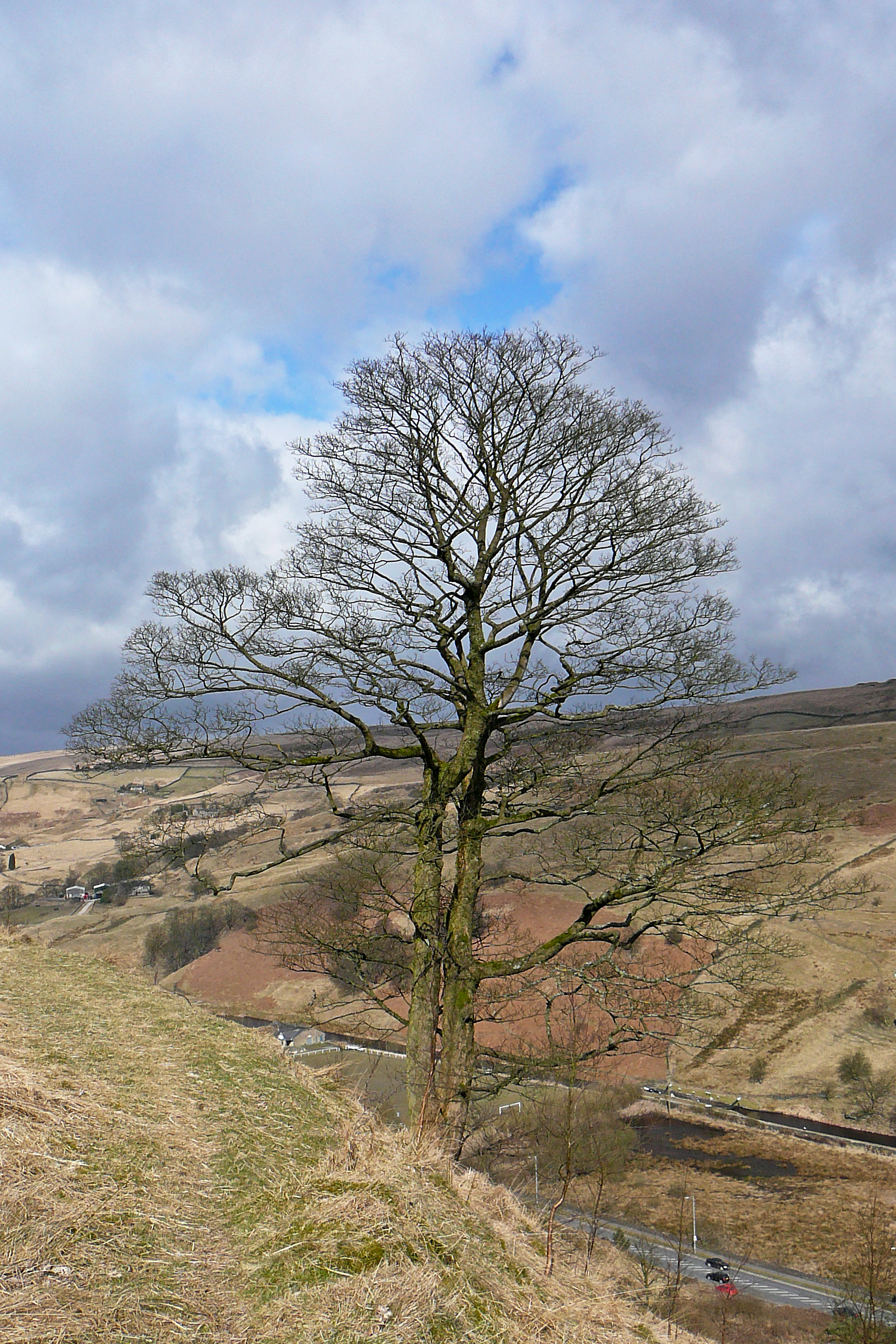
View south from Toftshaw - geograph.org.uk - 7507354.jpg - GeographBot

Kell Butts, Wainstalls - geograph.org.uk - 27639.jpg - Geograph Update Bot

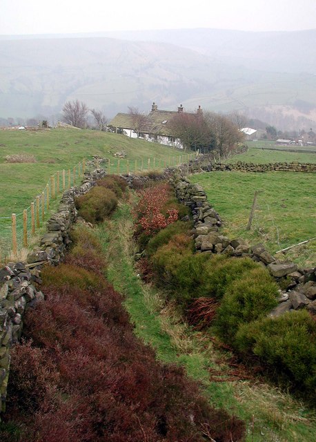
Moorlands Farm and Haigh Cote - geograph.org.uk - 27643.jpg - Geograph Update Bot

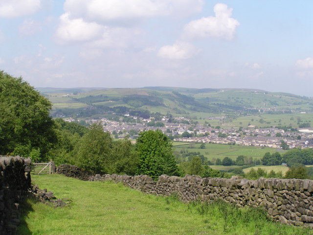
Farmland, Severhills Clough - geograph.org.uk - 38159.jpg - GeographBot

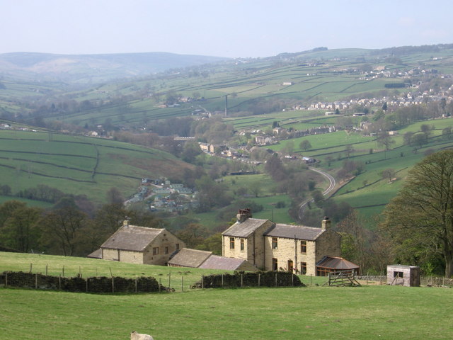
Farmland, Upper Brockholes - geograph.org.uk - 39476.jpg - GeographBot

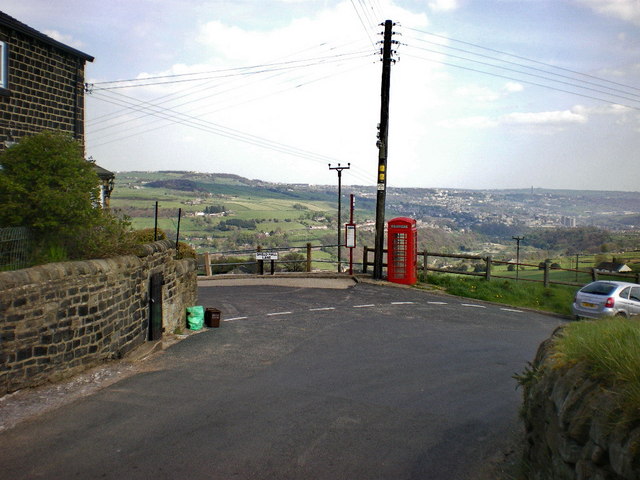
Footpath above Luddenden - geograph.org.uk - 33744.jpg - GeographBot

Dry stone walls, Steeton Moor - geograph.org.uk - 57331.jpg - GeographBot
Gorple Gate Track, Widdop - geograph.org.uk - 53982.jpg - GeographBot

Harvested Corn Fields - Badsworth - geograph.org.uk - 56482.jpg - GeographBot

Langfield Edge - geograph.org.uk - 59480.jpg - GeographBot
Shibden Valley from Magna Via - geograph.org.uk - 38267.jpg - GeographBot

Pennine Way, Heptonstall Moor - geograph.org.uk - 41066.jpg - GeographBot

Pry Farm - geograph.org.uk - 40936.jpg - GeographBot

Wainstalls, Moorland Village - geograph.org.uk - 34208.jpg - GeographBot

View towards Whitwood from Lower Wyke Lane, Wyke - geograph.org.uk - 41521.jpg - GeographBot

Whiskers Lane, Shibden Dale - geograph.org.uk - 40069.jpg - GeographBot

View from Stainland Road towards Stainland - geograph.org.uk - 65583.jpg - GeographBot

Yorkgate - geograph.org.uk - 41281.jpg - GeographBot

Vicars Lot, Stainland Moor - geograph.org.uk - 52534.jpg - GeographBot

View of the Calder valley from Exley Lane, Elland - geograph.org.uk - 74201.jpg - GeographBot

Hill Farm above Walsden - geograph.org.uk - 84893.jpg - GeographBot

Gorple Gate - geograph.org.uk - 99695.jpg - Geograph Update Bot

Hunter Hill - geograph.org.uk - 91632.jpg - GeographBot

Grey Stone Edge. - geograph.org.uk - 100225.jpg - GeographBot

Mill Farm. - geograph.org.uk - 96035.jpg - GeographBot

The View from Stoodley Pike in a South Easterly direction - geograph.org.uk - 86699.jpg - GeographBot

View across Royd House Wood to Castle Hill - geograph.org.uk - 95530.jpg - GeographBot

View from Reins Wood, Rastrick, Yorkshire - geograph.org.uk - 124337.jpg - GeographBot

View over the valley westwards from Toothill, Rastrick, Yorkshire - geograph.org.uk - 126711.jpg - GeographBot

Greenbelt between Bradford and Leeds - geograph.org.uk - 111656.jpg - GeographBot

Pennine Bridleway, Gorple Gate - geograph.org.uk - 118913.jpg - Geograph Update Bot

Tyersal Lane, Pudsey - geograph.org.uk - 111647.jpg - GeographBot

Field with portable sheep pen, Old Lindley - geograph.org.uk - 175604.jpg - GeographBot

Jagger Green Lane, Old Lindley - geograph.org.uk - 175599.jpg - GeographBot

Mill Lodge, Ramsden Clough - geograph.org.uk - 175054.jpg - GeographBot

Pennine Bridleway, Erringden Moor - geograph.org.uk - 179779.jpg - GeographBot

View of Jaque Royd from Bridle Stile, Shelf - geograph.org.uk - 209597.jpg - GeographBot

Looking towards Ledsham village - geograph.org.uk - 214306.jpg - GeographBot

Countryside, looking north east from Hessle Farm - geograph.org.uk - 244618.jpg - GeographBot

Triangulation pillar off Birkby Lane, Clifton - geograph.org.uk - 227728.jpg - GeographBot
View from Wholestone Moor, Longwood - geograph.org.uk - 254524.jpg - GeographBot

View over moorland to Ramsden Reservoir and Holmfirth - geograph.org.uk - 269574.jpg - GeographBot

Foster's Stone, Calderdale - geograph.org.uk - 284636.jpg - GeographBot

The view down Lumbutts Road towards Lumbutts and beyond - geograph.org.uk - 288242.jpg - GeographBot

Water Tower, Bar Lane, Midgley, Sitlington CP - geograph.org.uk - 282079.jpg - GeographBot

Millcliff Wood. - geograph.org.uk - 292447.jpg - GeographBot

Fagley rainbow - geograph.org.uk - 302626.jpg - GeographBot

View of Hebden Bridge from Horsehold - geograph.org.uk - 326718.jpg - GeographBot

Kirkthorpe Village - geograph.org.uk - 356329.jpg - GeographBot

Over Whiskers, Shibden Dale - geograph.org.uk - 354304.jpg - GeographBot

Paddock Road, Dunkirk - geograph.org.uk - 354289.jpg - GeographBot

Reservoir outlet - geograph.org.uk - 354290.jpg - GeographBot

Winch base - geograph.org.uk - 354286.jpg - GeographBot
Great Peat Moss - geograph.org.uk - 367928.jpg - GeographBot

Kershaw Farm, Erringden - geograph.org.uk - 362580.jpg - GeographBot

Quarry track - geograph.org.uk - 366541.jpg - GeographBot

Ridings, Luddenden Dean - geograph.org.uk - 362859.jpg - GeographBot

Rough Edge, Erringden Moor - geograph.org.uk - 362577.jpg - GeographBot

Crow Hill - geograph.org.uk - 387555.jpg - GeographBot

High Stones Hill - geograph.org.uk - 388615.jpg - GeographBot

Little Shaw Lane, Crow Hill - geograph.org.uk - 387542.jpg - GeographBot

New Barton - geograph.org.uk - 387525.jpg - GeographBot
Whiteley Royd Farm - geograph.org.uk - 381873.jpg - GeographBot

Tenterfields, Luddenden Foot - geograph.org.uk - 391582.jpg - GeographBot

View of Hoyle House from Stoney Lane, Hipperholme - geograph.org.uk - 390801.jpg - GeographBot

Warley Wood - geograph.org.uk - 391618.jpg - GeographBot

Looking North - geograph.org.uk - 404582.jpg - GeographBot

Turvin Clough - geograph.org.uk - 401696.jpg - GeographBot

Looking towards Menston and Burley in Wharfedale - geograph.org.uk - 410439.jpg - GeographBot

Reva Reservoir from Bingley Road - geograph.org.uk - 410452.jpg - GeographBot

Fields above Jack Bridge - geograph.org.uk - 430578.jpg - GeographBot

Keeper Lane to the A61 - geograph.org.uk - 430875.jpg - GeographBot

Millennium Way towards Long Causeway, Denholme - geograph.org.uk - 458804.jpg - GeographBot
The Millennium Way above Currer Wood, Eastburn - geograph.org.uk - 453029.jpg - GeographBot

Through the rectangular window - geograph.org.uk - 463341.jpg - GeographBot

Turley Holes and Higher House Moor - geograph.org.uk - 463324.jpg - GeographBot

Packhorse Causey across Whirlaw Common - geograph.org.uk - 488521.jpg - GeographBot

Packhorse Causey crossing Whirlaw Common - geograph.org.uk - 488520.jpg - GeographBot

From the Harland Way - geograph.org.uk - 490320.jpg - GeographBot

Holme Valley - geograph.org.uk - 497082.jpg - GeographBot

Lower Shelf - geograph.org.uk - 494698.jpg - GeographBot

Cutsyke rooftops - geograph.org.uk - 538957.jpg - GeographBot

From the Wharfe viaduct - geograph.org.uk - 535277.jpg - GeographBot

Looking down the track from the hill top towards Thorpe Audlin. - geograph.org.uk - 531759.jpg - GeographBot

Pennine Way, Axletree Edge - geograph.org.uk - 576249.jpg - GeographBot

Farmland Near High Weardley - geograph.org.uk - 609732.jpg - GeographBot

Looking into Shibden Dale near Halifax - geograph.org.uk - 609261.jpg - GeographBot

Ovenden and northern end of Halifax - geograph.org.uk - 609264.jpg - GeographBot

Red Kite Above Bog Plantation - geograph.org.uk - 609810.jpg - GeographBot

Ryburn reservoir from Baitings Dam - geograph.org.uk - 610080.jpg - GeographBot

The valley of Lumb Brook, Coley - geograph.org.uk - 613482.jpg - GeographBot

View over Kirklees - geograph.org.uk - 617907.jpg - GeographBot

Aerial above Oxenhope - geograph.org.uk - 623730.jpg - GeographBot

Erringden Moor - geograph.org.uk - 620362.jpg - GeographBot

Heptonstall Moor in Calderdale - geograph.org.uk - 625302.jpg - GeographBot

Thornton Moor - geograph.org.uk - 624355.jpg - GeographBot

Wilsden, from Norr Hill - geograph.org.uk - 658921.jpg - GeographBot

View of Withens End Lane, Rishworth - geograph.org.uk - 683211.jpg - GeographBot

The lane to Waterloo, Stainland - geograph.org.uk - 696186.jpg - GeographBot

Withins Gate on Pennine Way - geograph.org.uk - 708557.jpg - Schlosser67

Pipe across Holden Beck - geograph.org.uk - 715431.jpg - GeographBot

Way Stone Edge - geograph.org.uk - 714617.jpg - GeographBot

Mountain Biking on the Pennine Way - geograph.org.uk - 723572.jpg - GeographBot

Path and view, Stainland - geograph.org.uk - 720358.jpg - GeographBot

The Common, Lepton Edge - geograph.org.uk - 729111.jpg - GeographBot

The Ridge next to The Pack Horse Inn - geograph.org.uk - 726166.jpg - GeographBot

The Southern End of Black Hill - geograph.org.uk - 720775.jpg - GeographBot

Fields and footpath, Stainland - geograph.org.uk - 740546.jpg - GeographBot

View of Wham Leigh - from Green Lane, Sowood - geograph.org.uk - 814470.jpg - GeographBot

Humps and holes, Soil Hill, Halifax - geograph.org.uk - 824820.jpg - GeographBot

View of Shibden Dale - from Kell Lane, Northowram - geograph.org.uk - 825275.jpg - GeographBot

BBQ time - geograph.org.uk - 836348.jpg - GeographBot

Farm rooftops - geograph.org.uk - 838832.jpg - GeographBot

Long Causeway, Rishworth - geograph.org.uk - 835209.jpg - GeographBot

The Holme valley from Flight Hill - geograph.org.uk - 836278.jpg - GeographBot

Otley Chevin - geograph.org.uk - 846760.jpg - GeographBot

Ovenden Moor viewed from Well Heads - geograph.org.uk - 840394.jpg - GeographBot

Former White Castle Brewery Bradshaw Lane Queensbury - geograph.org.uk - 850328.jpg - GeographBot

Royd Edge Dyeworks, Meltham - geograph.org.uk - 855387.jpg - GeographBot

Corner of enclosure on Hind Hill, Marsden - geograph.org.uk - 862808.jpg - GeographBot

Looking across the boundary trench, Wham Head, Marsden - geograph.org.uk - 929950.jpg - GeographBot

Pasture Land At Bog Green - geograph.org.uk - 938756.jpg - GeographBot

Intake from the moor, Norland Moor, Norland - geograph.org.uk - 963089.jpg - GeographBot

Delfs, Sowerby - geograph.org.uk - 985234.jpg - GeographBot

Red Brink Road, Sowerby - geograph.org.uk - 993824.jpg - GeographBot

View from Jaw Hill - geograph.org.uk - 1009885.jpg - GeographBot

View from High Hoyland - geograph.org.uk - 1012581.jpg - GeographBot

View from War Memorial - Pinnar Lane - geograph.org.uk - 1011960.jpg - GeographBot

View from War Memorial - Pinnar Lane - geograph.org.uk - 1011961.jpg - GeographBot

Well tended verge - geograph.org.uk - 1017869.jpg - GeographBot

North West from The Chevin - geograph.org.uk - 1021018.jpg - GeographBot

West from The Chevin - geograph.org.uk - 1021023.jpg - GeographBot

Newsome High School - geograph.org.uk - 1064163.jpg - GeographBot

Outcrops on Shuttleworth Moor - geograph.org.uk - 1060499.jpg - GeographBot

Snowy field by the Leeds and Liverpool Canal - geograph.org.uk - 1153917.jpg - GeographBot

Withens Road, Warley - geograph.org.uk - 1222419.jpg - GeographBot

Remains of covered reservoir, Ogden - geograph.org.uk - 1247735.jpg - GeographBot

Skirden Clough, Ovenden Moor - geograph.org.uk - 1247810.jpg - GeographBot

Surprise view, Ovenden Moor - geograph.org.uk - 1247682.jpg - GeographBot

Withens New Road, Ogden - geograph.org.uk - 1247838.jpg - GeographBot

Minor road at head of Widdop valley - geograph.org.uk - 1257208.jpg - GeographBot

Rocks on Harden Moor - geograph.org.uk - 1258818.jpg - GeographBot

Thunnerley, Stainland - geograph.org.uk - 1258505.jpg - GeographBot

Looking south down Marsden Gate. - geograph.org.uk - 1264192.jpg - GeographBot

View from Marsden Gate towards the north east. - geograph.org.uk - 1264233.jpg - GeographBot

View towards Netherthong from a footpath near Oldfield - geograph.org.uk - 1260529.jpg - GeographBot

Fulshaw Clough, Warley - geograph.org.uk - 1279426.jpg - GeographBot
Hainworth - view over Worth Valley - geograph.org.uk - 1272810.jpg - GeographBot

Pennine Bridleway - geograph.org.uk - 1270679.jpg - GeographBot
Road junction - geograph.org.uk - 1275590.jpg - GeographBot

Shield Hall Lane - geograph.org.uk - 1275595.jpg - GeographBot

View northwards from Dean Head Stony Edge, Warley Moor - geograph.org.uk - 1279479.jpg - GeographBot

Wheldale reclamation project - geograph.org.uk - 1290491.jpg - GeographBot

Woolley Edge Lane Looking To Emley Moor Mast - geograph.org.uk - 1292959.jpg - GeographBot

Holme Valley - geograph.org.uk - 1305965.jpg - GeographBot

New Road with Turley Cote Lane off to the right - geograph.org.uk - 1325439.jpg - GeographBot

Square Mill Dam from Haigh Cote Dam Wall - geograph.org.uk - 1320367.jpg - GeographBot

Harden Moss Road, Meltham - geograph.org.uk - 1339927.jpg - GeographBot

Footpath on Ovenden Moor - geograph.org.uk - 1359056.jpg - GeographBot

Rocky landscape, Meltham - geograph.org.uk - 1356228.jpg - GeographBot

Stream channel, West Nab Moss, Meltham - geograph.org.uk - 1356194.jpg - GeographBot

Stream channel, West Nab Moss, Meltham - geograph.org.uk - 1356207.jpg - GeographBot

Footpath over Ovenden Moor, Ovenden - geograph.org.uk - 1363194.jpg - GeographBot

Hollow-way, Ovenden - geograph.org.uk - 1363224.jpg - GeographBot

Track over Thornton Moor, Ovenden - geograph.org.uk - 1363258.jpg - GeographBot

Track over Thornton Moor - geograph.org.uk - 1363232.jpg - GeographBot

Luddenden from Halifax Lane - geograph.org.uk - 1389059.jpg - GeographBot

Luddenden from Halifax Lane - geograph.org.uk - 1389060.jpg - GeographBot

Laddow Moss looking to Holme Moss - geograph.org.uk - 1396347.jpg - GeographBot

Towards Sowood from New Lane,Outlane - geograph.org.uk - 1428945.jpg - GeographBot

Heptonstall - Heptonstall Road - geograph.org.uk - 1435200.jpg - GeographBot
Emley Moor Transmitter - geograph.org.uk - 1465953.jpg - GeographBot

The valley of Caty Well Brook - geograph.org.uk - 1503487.jpg - GeographBot

View towards Yeoman Hill - geograph.org.uk - 1513695.jpg - GeographBot

On Gorple Stones - geograph.org.uk - 1528948.jpg - GeographBot

Stream off New Road, Erringden - geograph.org.uk - 1520017.jpg - GeographBot

Down the Hill to Golcar - geograph.org.uk - 1593813.jpg - GeographBot

View from Bank End, Netherton (South Crosland) - geograph.org.uk - 1607644.jpg - GeographBot

Guiseley - A view from Carlton Lane - geograph.org.uk - 1627350.jpg - GeographBot

Lodge Hills, a distant prospect of Harewood House - geograph.org.uk - 1633629.jpg - GeographBot

The Royalty - Yorkgate. - geograph.org.uk - 1630263.jpg - GeographBot

View from Otley Chevin - geograph.org.uk - 1640236.jpg - GeographBot

View from Otley Chevin - geograph.org.uk - 1640242.jpg - GeographBot

Road to Bedlam - geograph.org.uk - 1654130.jpg - GeographBot

Looking West from a snowy Otley Chevin - geograph.org.uk - 1715420.jpg - GeographBot

Hall Bower viewed from Castle Hill - geograph.org.uk - 1722951.jpg - GeographBot

Emley Moor - geograph.org.uk - 1738475.jpg - GeographBot

View of the Lady Anne Dike valley, Soothill - geograph.org.uk - 1746879.jpg - GeographBot

Gully from Deep Nitch - geograph.org.uk - 1751773.jpg - GeographBot

Teal Lane - geograph.org.uk - 1750161.jpg - GeographBot

Wires over a hedgerow, off Jerry Clay Lane - geograph.org.uk - 1760578.jpg - GeographBot

I can see for miles and miles - geograph.org.uk - 1775171.jpg - GeographBot

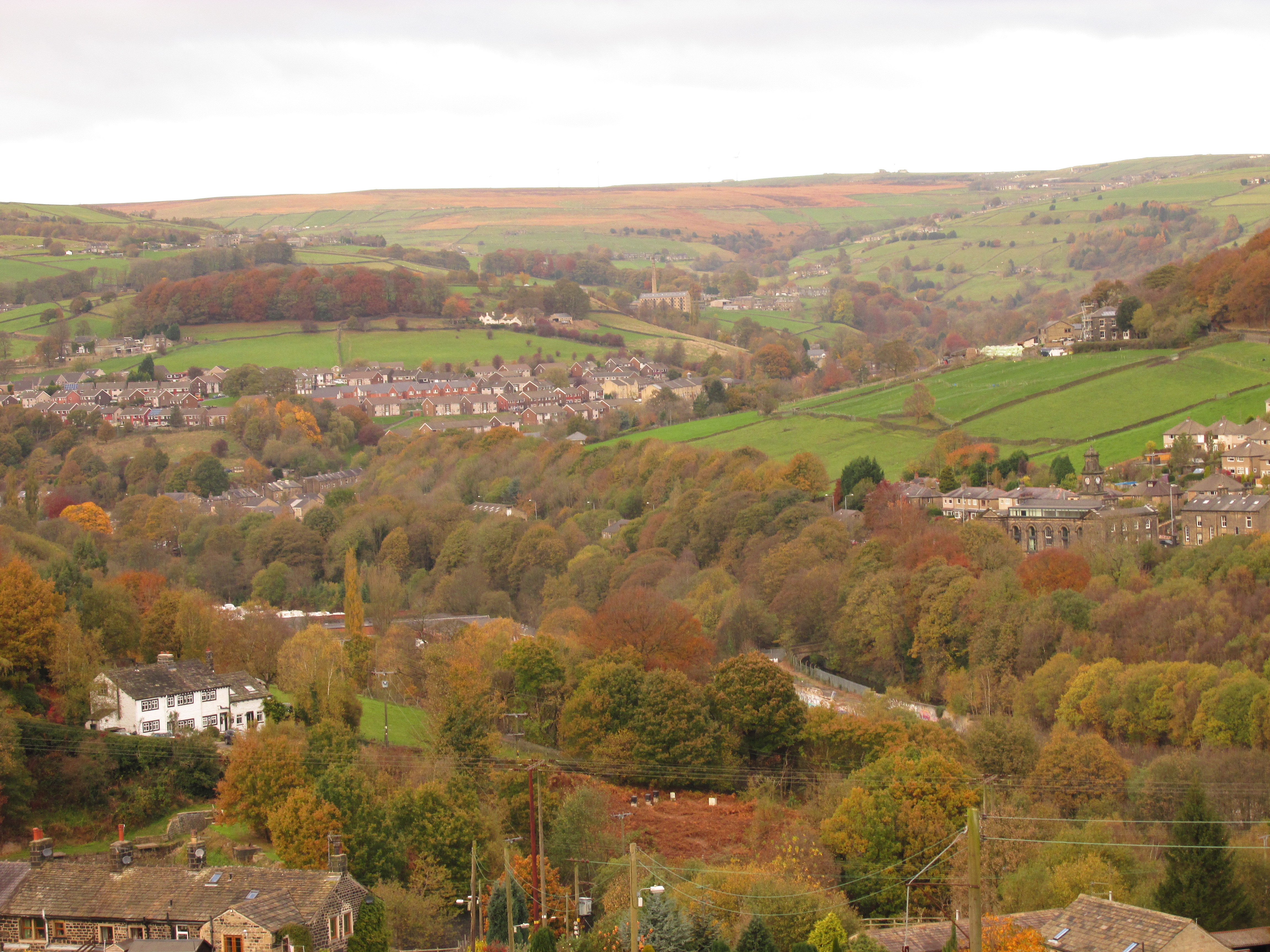
Uppercaldervalley.jpg - File Upload Bot (Magnus Manske)

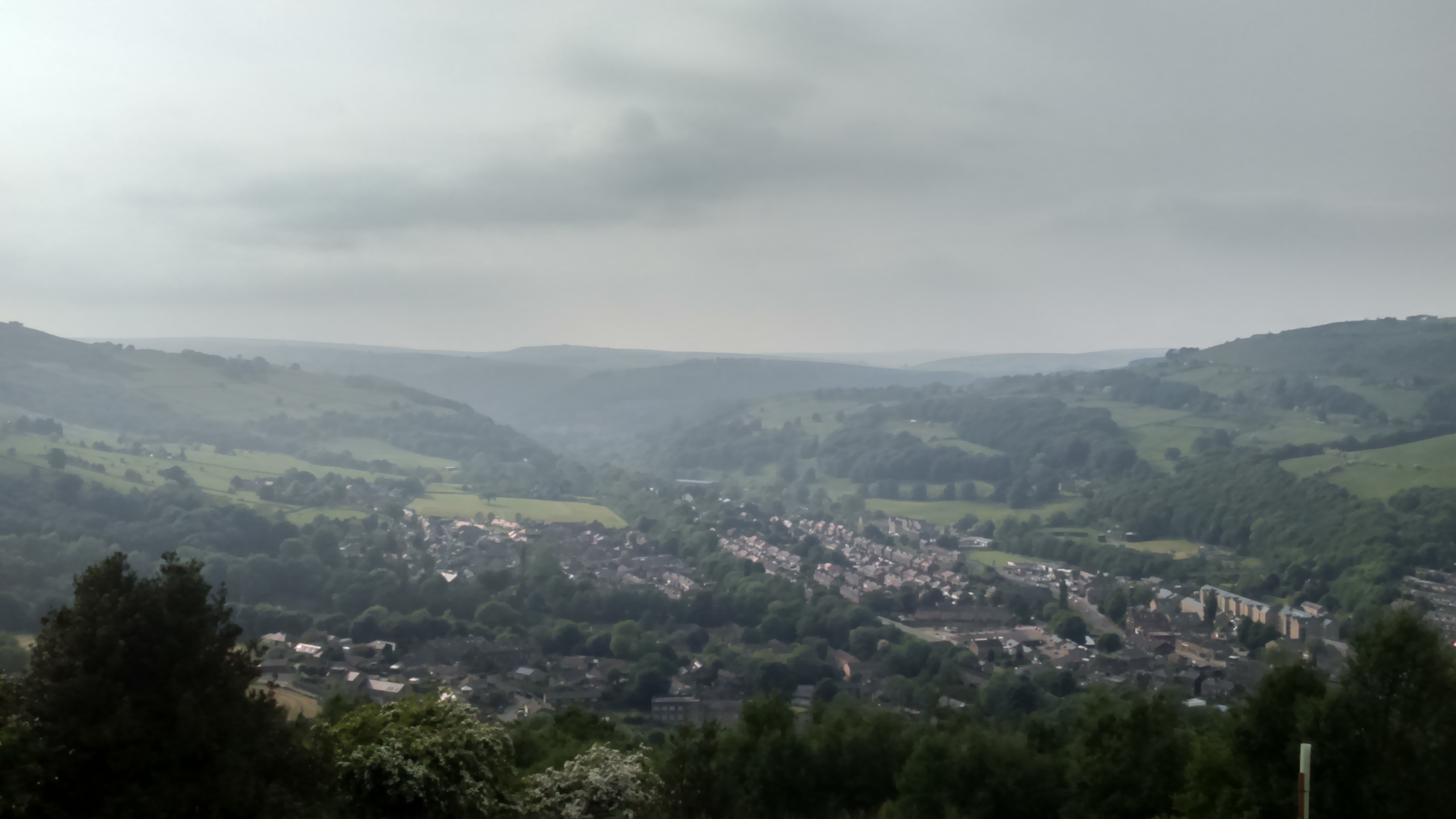
South Pennines.jpg - Tomphotographe

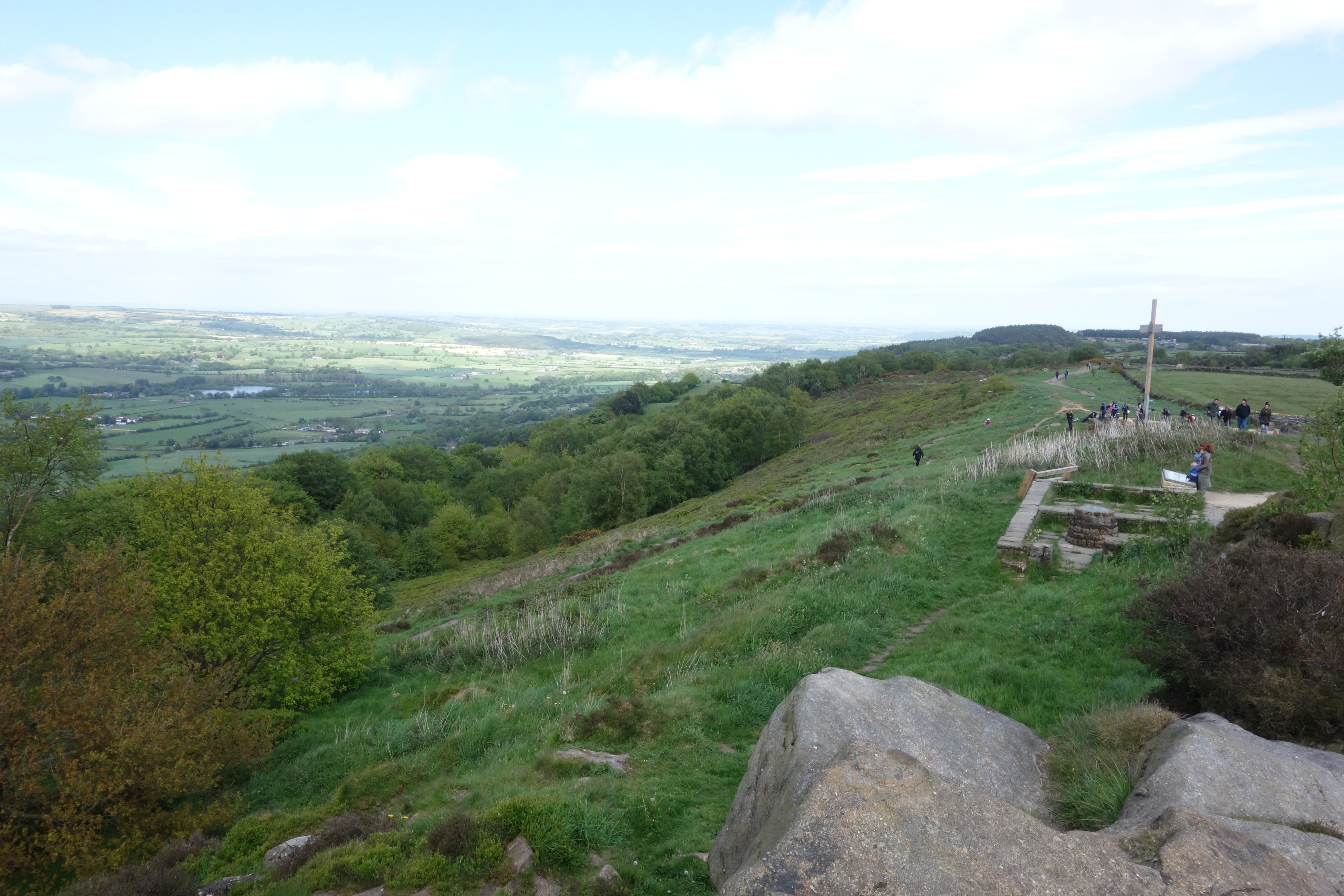
Leeds-2-cropped.jpg - Rory 89

Saw Hill (28033285006).jpg - INeverCry

Horley Green Lane (1693673249).jpg - INeverCry

Stile, Howcans Lane (4816250032).jpg - INeverCry

Gateway to the moors (2969315463).jpg - INeverCry

View from Brown Hurst over the valley of Hebble Brook (4838015189).jpg - INeverCry

View toward West Vale from Elland (3773044430).jpg - INeverCry

Path across the moor (5961542677).jpg - INeverCry

Valley (2518434483).jpg - INeverCry

Wall (2518541473).jpg - INeverCry

Three Dead Trees (3697177997).jpg - INeverCry

Fields at Clayton, Bradford (3620232018).jpg - INeverCry

The Towers and the "FA Cup" chimney, Clayton, in the snow (6832108711).jpg - INeverCry

Hanging Falls (14744114492).jpg - INeverCry

Hanging Falls (14742029134).jpg - INeverCry

Hanging Falls (17908049822).jpg - INeverCry

Stunning views but needs some attention (5756380136).jpg - INeverCry

Lane, gate, hills (3357933546).jpg - INeverCry

On Ilkley Moor 1 (2549544618).jpg - INeverCry

Upper Schole Carr (3730677086).jpg - INeverCry

Ryburn Valley (24503056814).jpg - INeverCry

Mill on the hill (3907278200).jpg - INeverCry

View towards Stainland (8258064973).jpg - INeverCry

Moorland, above Cornholme, West Yorkshire (3360148793).jpg - INeverCry

Leaning stone at Withens Gate (3379664345).jpg - INeverCry
Tree (4438109313).jpg - INeverCry

View from Pole Hill (4400854193).jpg - INeverCry

Long Causeway, near Stoodley Pike (October 2010). - panoramio.jpg - Panoramio upload bot

Near Hebden Bridge - panoramio.jpg - Panoramio upload bot

Wadsworth, UK - panoramio.jpg - Panoramio upload bot

Wadsworth, UK - panoramio (2).jpg - Panoramio upload bot

Worth Way approaching Cackleshaw (geograph 3317559).jpg - Schlosser67

Top of M62.jpg - Weixinliang23

Farnley Wood (39423648002).jpg - Sic19

Leeds Views (26209544099).jpg - Sic19

Leeds and Liverpool Canal (34372991872).jpg - Sic19

Todmorden in Yorkshire.jpg - Joli

Stonewalls and rocky fields around Todmorden and Hebden bridge.jpg - Mzales11
Luddendenfoot in the autumn.jpg - Tompb19

Looking down Perseverance Road - geograph.org.uk - 1911049.jpg - GeographBot

Fork in the track, Thornton Moor - geograph.org.uk - 2038008.jpg - GeographBot

Footpath - Withens Road - geograph.org.uk - 2040971.jpg - GeographBot

Booth House Lane - geograph.org.uk - 2162510.jpg - GeographBot

View towards the part demolished Wyke viaduct from the Caldervale Line - geograph.org.uk - 2217625.jpg - GeographBot

View from Rochdale Road, Greetland - geograph.org.uk - 2221722.jpg - GeographBot

Triangulation pillar, Norland Moor - geograph.org.uk - 2239563.jpg - GeographBot

View over Kirklees - geograph.org.uk - 2267506.jpg - GeographBot

Fulneck Valley - viewed from Hare Lane - geograph.org.uk - 2313527.jpg - GeographBot

Footpath past the corner of Dawson Wood, Idle - geograph.org.uk - 2321682.jpg - GeographBot

Boundary stone, Flints, Soyland - geograph.org.uk - 2470158.jpg - GeographBot

Drystone wall field boundary, south of Tewitt Lane. - geograph.org.uk - 2505258.jpg - GeographBot

High Royds Menston from Parkinson's Park Guiseley - geograph.org.uk - 3754951.jpg - GeographBot

Haw Lane, Yeadon - geograph.org.uk - 3831993.jpg - GeographBot

Greening field, north of Lower Park Farm - geograph.org.uk - 4194982.jpg - GeographBot

View from the Precincts of Royd Hall - geograph.org.uk - 5653661.jpg - GeographBot

On The Chevin - geograph.org.uk - 5835876.jpg - GeographBot
View from Scout Rock.jpg - Jackolees

On The Chevin - geograph.org.uk - 6374511.jpg - GeographBot
On the Chevin - geograph.org.uk - 6374522.jpg - GeographBot

View from Heathy Lane - geograph.org.uk - 6509083.jpg - GeographBot

View over Ramsden Wood - geograph.org.uk - 6511390.jpg - GeographBot

View from Lower Wyke Lane towards Scholes - geograph.org.uk - 6550623.jpg - GeographBot

Huddersfield Footpath 416 approaching Hollins Hey Road, Longwood - geograph.org.uk - 7121859.jpg - GeographBot

A view from Chapel Hill Lane, Scammonden - geograph.org.uk - 7270302.jpg - GeographBot