Wikimedi'Òc
Modes d'emploi

Cet album fait partie des albums
Cet album photos contient les sous-albums suivants :


Varsity line2.png - Dtcdthingy~commonswiki

RewleyRoadPlaque.jpg - Omassey

Varsity Line.svg - Dtcdthingy~commonswiki

Oxford North Jnc.JPG - Mertbiol

Railway bridge - geograph.org.uk - 60119.jpg - GeographBot

Railway line - geograph.org.uk - 60123.jpg - GeographBot

Road Bridge over Railway - geograph.org.uk - 208313.jpg - GeographBot

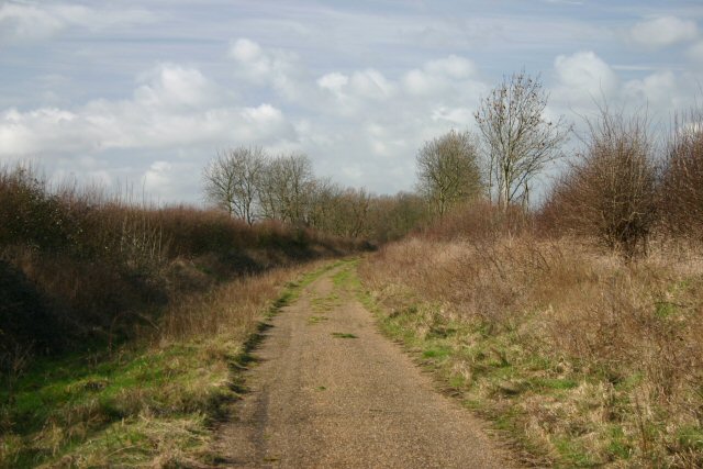
Disused Oxford-Bletchley Railway - geograph.org.uk - 211823.jpg - GeographBot

Stream Aqueduct - geograph.org.uk - 211819.jpg - GeographBot

Disused Railway - geograph.org.uk - 266480.jpg - GeographBot

Disused railway at Lord's Bridge - geograph.org.uk - 350409.jpg - GeographBot

Disused railway south of Comberton - geograph.org.uk - 350423.jpg - GeographBot
Disused railway south of Comberton - geograph.org.uk - 350425.jpg - GeographBot

Dismantled bridge - geograph.org.uk - 371501.jpg - GeographBot

Lineside hut on disused railway - geograph.org.uk - 371499.jpg - GeographBot

Old railway bridge on A1198 - geograph.org.uk - 371513.jpg - GeographBot

Old railway embankment - geograph.org.uk - 371500.jpg - GeographBot

Old trackbed from bridge on A1198 - geograph.org.uk - 371515.jpg - GeographBot

Railway bridge (disused) and road bridge over Claydon Brook - geograph.org.uk - 405853.jpg - GeographBot

Road bridge over railway near Steeple Claydon - geograph.org.uk - 412095.jpg - GeographBot

Railway line near Steeple Claydon - geograph.org.uk - 480060.jpg - GeographBot

Railway line near Steeple Claydon 2 - geograph.org.uk - 480061.jpg - GeographBot

Disused railway near Sandhill 2 - geograph.org.uk - 490527.jpg - GeographBot

Road bridge over railway near Sandhill - geograph.org.uk - 490529.jpg - GeographBot

View along road to soon to be dismantled railway bridge - geograph.org.uk - 503601.jpg - GeographBot

Former Varsity Line route - geograph.org.uk - 645186.jpg - GeographBot

Old railway track - geograph.org.uk - 713881.jpg - GeographBot

Disused railway bridge on byway, looking east - geograph.org.uk - 871983.jpg - GeographBot

Winslow disused railway - geograph.org.uk - 934433.jpg - GeographBot

Road bridge over railway - geograph.org.uk - 952937.jpg - GeographBot

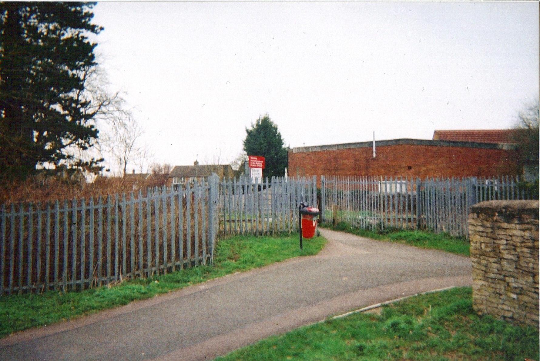
Launton Level Crossing - geograph.org.uk - 1033879.jpg - GeographBot

Trains once ran here - geograph.org.uk - 1175521.jpg - GeographBot

Disused railway near Sandhill 3 - geograph.org.uk - 1284841.jpg - GeographBot

Road bridge over railway near Sandhill 2 - geograph.org.uk - 1284835.jpg - GeographBot

Shepherd's Furze Farm - geograph.org.uk - 1287017.jpg - GeographBot

Steeple Claydon, Disused Oxford to Bletchley railway line - geograph.org.uk - 1284444.jpg - GeographBot

Steeple Claydon, Former Oxford to Bletchley railway line - geograph.org.uk - 1284778.jpg - GeographBot

Steeple Claydon, Former Oxford to Bletchley railway line - geograph.org.uk - 1285074.jpg - GeographBot

Old Railway Bridge - geograph.org.uk - 645022.jpg - GeographBot

Disused Railway Line - geograph.org.uk - 1773134.jpg - GeographBot

Railway (Disused) Bridge - geograph.org.uk - 1773126.jpg - GeographBot

Railway (Disused) Bridge - geograph.org.uk - 1773177.jpg - GeographBot

Tubs crossing 2010 mk1.jpg - BotMultichillT

Tubs crossing 2010 mk3.jpg - BotMultichillT
Tubs crossing 2010 mk2.jpg - BotMultichillT

Barton geograph-3763647-by-Ben-Brooksbank.jpg - Chevin

Weedy track at Swanbourne.jpg - Grashoofd

Mothballed Varsity Line eastbound from Salden Wood, 29th March 2014.JPG - Ukexposed

Gavray Junction in 2015.JPG - Geof Sheppard

Bucks rly 1851.png - Afterbrunel

Ox&camb overview.png - Afterbrunel

Disused railway (geograph 6389173).jpg - Lamberhurst

Disused Oxford Bletchley railway - geograph.org.uk - 3154141.jpg - GeographBot

Former Oxford - Cambridge railway - geograph.org.uk - 3858311.jpg - GeographBot

The run round loop at Claydon - geograph.org.uk - 4186163.jpg - GeographBot

The run round loop at Claydon - geograph.org.uk - 4188524.jpg - GeographBot

The trackbed of the former railway between Oxford and Bletchley - geograph.org.uk - 4857469.jpg - GeographBot

Varsity Line looking east from Whaddon Road, Newton Longville towards Bletchley 01.jpg - Mertbiol

Varsity Line looking east from Whaddon Road, Newton Longville towards Bletchley 02.jpg - Mertbiol

Varsity Line looking west from Whaddon Road, Newton Longville towards Winslow 02.jpg - Mertbiol

Varsity Line looking west from Whaddon Road, Newton Longville towards Winslow 01.jpg - Mertbiol

Varsity Line looking west from Whaddon Road, Newton Longville towards Winslow 03.jpg - Mertbiol

Disused Oxford to Bletchley railway line at Poors' Piece - geograph.org.uk - 6522653.jpg - GeographBot