Wikimedi'Òc
Modes d'emploi

Cet album fait partie des albums
Cet album photos contient les sous-albums suivants :


Winson Green Junction toll island.jpg - Oosoom

Netherton Tunnel inside northern portal dual towpath.jpg - Oosoom

Netherton Tunnel northern portal QF.jpg - Oosoom

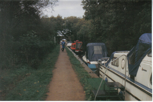
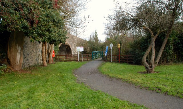
StaffsWorcester105.jpg - Old Moonraker

The Cut - Floating Towpath.jpg - File Upload Bot (Magnus Manske)

Canal towpath with bench and milepost - geograph.org.uk - 1110847.jpg - File Upload Bot (Magnus Manske)

Alvechurch, towpath - geograph.org.uk - 1345793.jpg - File Upload Bot (Magnus Manske)

Low Bradley, near Skipton - geograph.org.uk - 3245.jpg - JD554

Oxenton Hill viewed from Coombe Hill Canal - geograph.org.uk - 61783.jpg - GeographBot

Towpath, Devizes - geograph.org.uk - 34489.jpg - GeographBot

Approaching Stonebridge Lock, Tottenham - geograph.org.uk - 93427.jpg - GeographBot

Looking South-East, towards Newground Bridge - geograph.org.uk - 106829.jpg - GeographBot

Turtle Creek Embankment towpath.jpg - Nyttend

Turtle Creek Embankment side from towpath.jpg - Nyttend

Turtle Creek Embankment canal bed from towpath.jpg - Nyttend
Canal Towpath - geograph.org.uk - 262578.jpg - GeographBot

Rochdale Canal towpath near Todmorden Lock - geograph.org.uk - 272842.jpg - GeographBot

Towpath East of Stoke Lock - geograph.org.uk - 288874.jpg - GeographBot

Wey Navigation, Burpham - geograph.org.uk - 288850.jpg - GeographBot

Alphin Brook and Exeter Canal - geograph.org.uk - 292303.jpg - GeographBot

Approaching Exeter sewage works - geograph.org.uk - 292340.jpg - GeographBot

Exeter Canal - geograph.org.uk - 292296.jpg - GeographBot

Exeter Canal and Countess Wear Bridge - geograph.org.uk - 292344.jpg - GeographBot
Exeter Canal near Double Locks - geograph.org.uk - 292283.jpg - GeographBot

Towpath works - geograph.org.uk - 292329.jpg - GeographBot

Towpath on Stroudwater Canal - geograph.org.uk - 372003.jpg - GeographBot

Towpath at Dunsley - geograph.org.uk - 383035.jpg - GeographBot

Barriers on towpath - geograph.org.uk - 420084.jpg - GeographBot

Monarch's Towpath - geograph.org.uk - 421891.jpg - GeographBot

Canal towpath at Oddingley - geograph.org.uk - 503799.jpg - GeographBot

Canal towpath north of Scarva - geograph.org.uk - 500786.jpg - GeographBot

Canal towpath south of the Madden Bridge - geograph.org.uk - 500745.jpg - Finavon

Droitwich Barge Canal - geograph.org.uk - 503441.jpg - GeographBot
Canal and Towpath, Solihull Lodge - geograph.org.uk - 517813.jpg - GeographBot

Deserted Path - geograph.org.uk - 512794.jpg - GeographBot
Grand Union Canal towpath - geograph.org.uk - 535424.jpg - GeographBot

Grand Union Canal, Leicestershire - geograph.org.uk - 545469.jpg - GeographBot

Towpath on the Grand Union Canal - geograph.org.uk - 545468.jpg - GeographBot

Early morning cyclist - geograph.org.uk - 555495.jpg - GeographBot

The towpath of Zouch Cut - geograph.org.uk - 554835.jpg - GeographBot

Towpath of the Grand Union Canal - geograph.org.uk - 553185.jpg - GeographBot

Towpath on the River Soar - geograph.org.uk - 554853.jpg - GeographBot

Oxford Canal Walk, heading for Banbury - geograph.org.uk - 611699.jpg - GeographBot
Entrance to the towpath at Soldierstown - geograph.org.uk - 623406.jpg - GeographBot

Towpath near Soldierstown - geograph.org.uk - 623286.jpg - GeographBot

Leeds and Liverpool Canal - geograph.org.uk - 638834.jpg - GeographBot

The Lagan Navigation at Hilden - geograph.org.uk - 634804.jpg - GeographBot

Three Castles Path - geograph.org.uk - 662523.jpg - GeographBot

Brewery swing bridge 177, Leeds and Liverpool Canal, Skipton - geograph.org.uk - 676095.jpg - GeographBot

Approaching Farnhill Wood - geograph.org.uk - 682161.jpg - GeographBot

Canal between Kildwick and Farnhill - geograph.org.uk - 682112.jpg - GeographBot

Farnhill Woods - geograph.org.uk - 682172.jpg - GeographBot

Nan Bottom Lane at Thorns - geograph.org.uk - 707108.jpg - GeographBot

Canal bridge - geograph.org.uk - 776413.jpg - GeographBot

Canal moorings, Skipton - geograph.org.uk - 1057202.jpg - GeographBot

Under Mill Bridge - geograph.org.uk - 1081501.jpg - GeographBot

The Springs Branch, Leeds and Liverpool Canal - geograph.org.uk - 1107189.jpg - GeographBot

Brook Street swing bridge - geograph.org.uk - 1395345.jpg - GeographBot

Canal towpath near Newry - geograph.org.uk - 1421039.jpg - GeographBot

Arched doorway on towpath of Oxford Canal beside Cropredy Mill Bridge (154) - geograph.org.uk - 1433041.jpg - GeographBot

The Lagan towpath near Lambeg - geograph.org.uk - 1721426.jpg - GeographBot

The River Lagan near Lambeg - geograph.org.uk - 1721172.jpg - GeographBot

Motorway Tunnel ^1 - geograph.org.uk - 640391.jpg - GeographBot

Old Lane Access (Disused) - geograph.org.uk - 640273.jpg - GeographBot

Belmont Row - towpath.jpg - Ka Faraq Gatri~commonswiki

Swing Bridge (7076947287).jpg - File Upload Bot (Magnus Manske)

Eastern Accommodation bridge Hincaster horsepath - panoramio.jpg - Panoramio upload bot

Trent & Mersey Canal - Rugeley - Bridge 66 - Leathermill Lane (33760301733).jpg - Junior Jumper

Trent & Mersey Canal - Rugeley - bridge 65 - The Mossley (34408822542).jpg - Junior Jumper

Trent & Mersey Canal - Rugeley - Viaduct over the canal - London Midland Class 170 (34431178261).jpg - Junior Jumper

Trent & Mersey Canal - Rugeley - Viaduct over the canal (34399818412).jpg - Junior Jumper

Trent & Mersey Canal - Rugeley - narrowboat (34570338225).jpg - Junior Jumper