Wikimedi'Òc
Modes d'emploi

Cet album fait partie des albums
Cet album photos contient les sous-albums suivants :


A view of Cowlitz River River in Washington State.jpg - Bobjgalindo

Cowlitz River in Washington State.jpg - Bobjgalindo

St Helens and nearby area from space.jpg - W like wiki

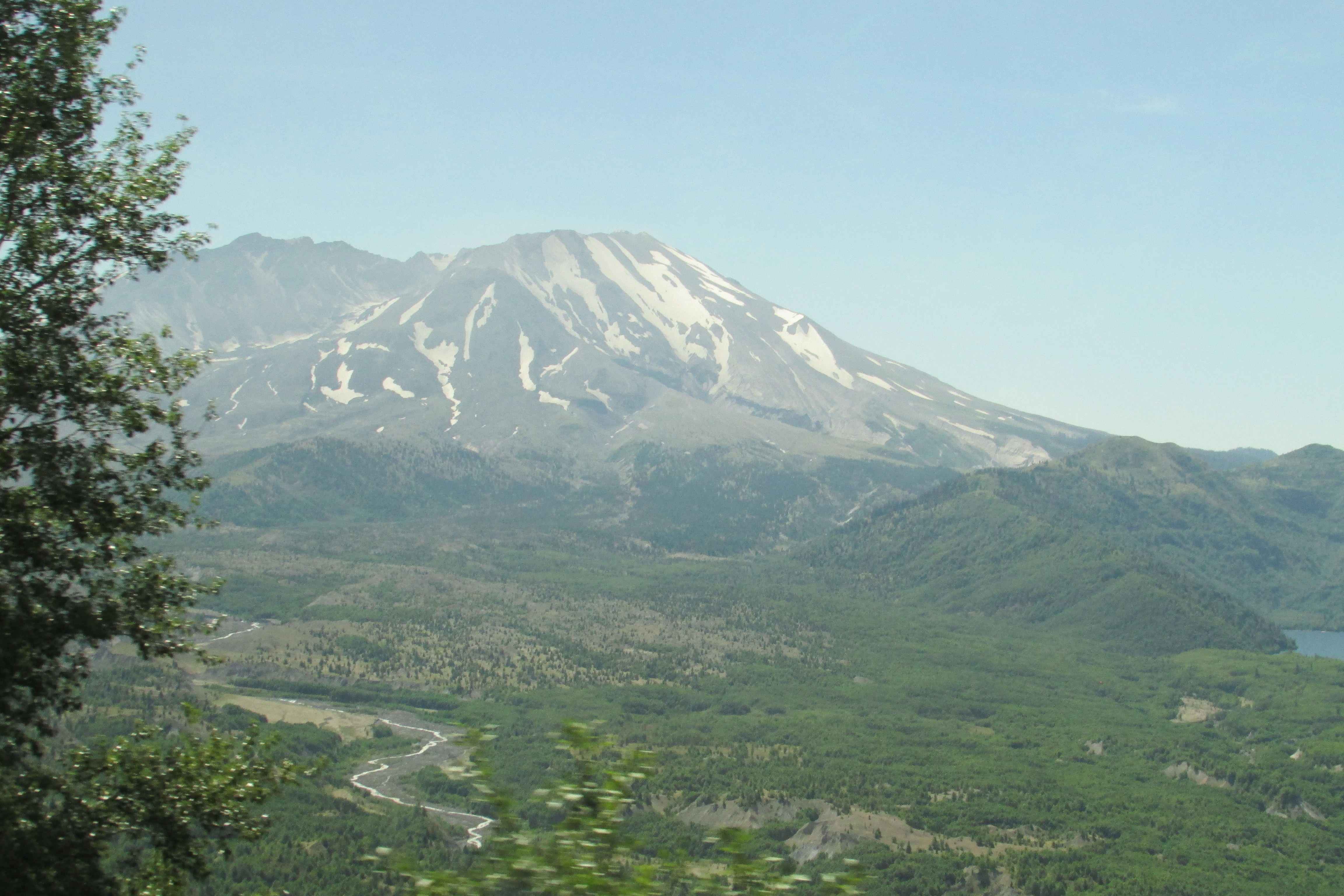
North Fork Toutle River valley in November 1983.jpg - Hike395

Toutle River in flood.jpg - DanMS

USACE sediment retention structure Toutle River.jpg - DanMS

Toutle River Bridge Destruction After Mt. St. Helens Eruption-1.jpg - Tequask
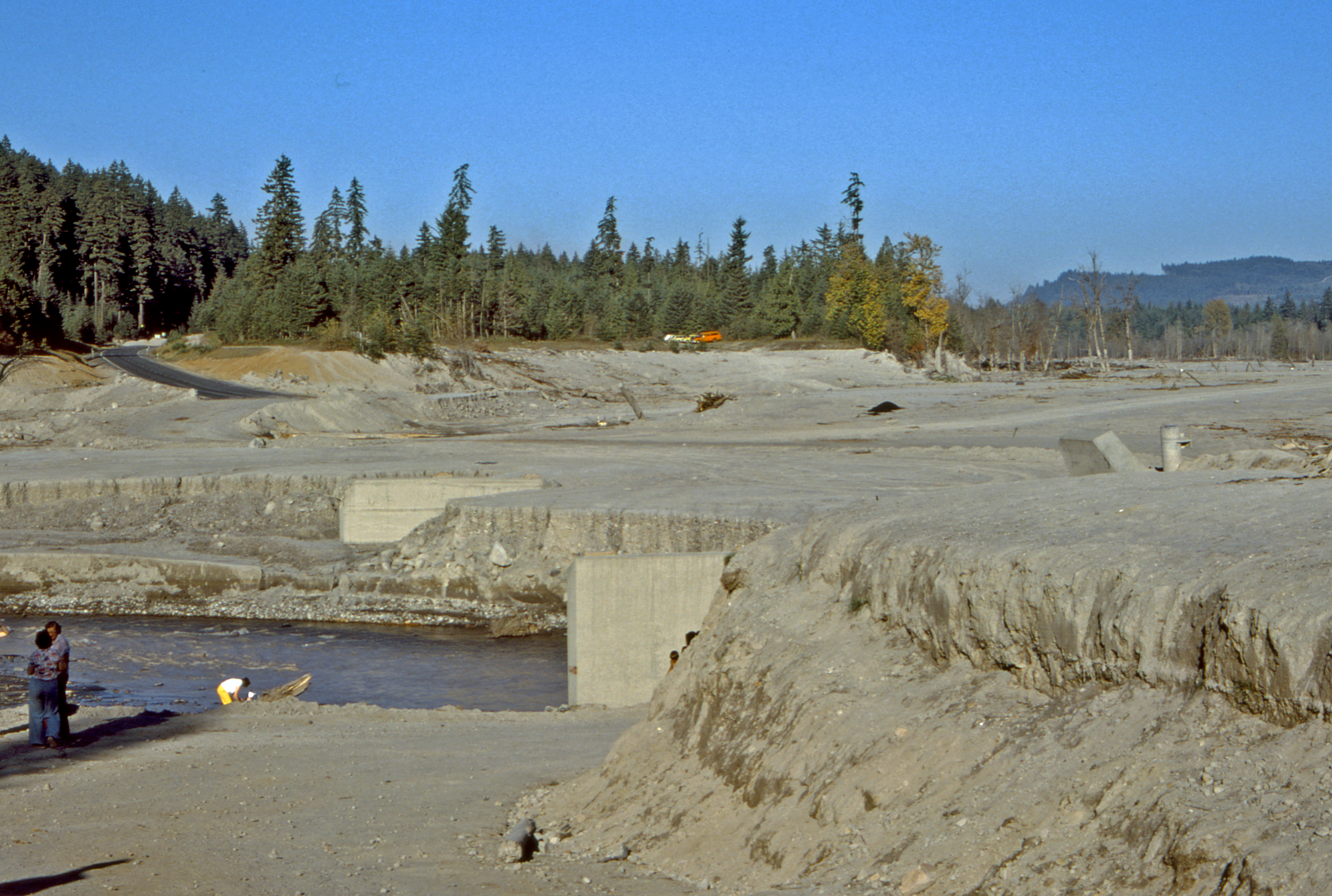
Toutle River Bridge Destruction After Mt. St. Helens Eruption-2.jpg - Tequask

Cowlitz - 2.png - GifTagger

Dredging Toutle River.jpg - Kingofthedead

Mt. Saint Helens post-eruption hydrology alterations.jpg - Jwfelder

MSHtoutleareaedit.jpg - Jwfelder

Castle Creek and Castle Lake, Washington.jpg - Bri

Kid Valley bridge on SR 504, July 1980.jpg - SounderBruce

Mt St Helens Windy Ridge 2017 08.jpg - Dirtsc

Mt St Helens Windy Ridge 2017 25.jpg - Dirtsc

Debri flow 3362.jpg - Chris Light

Debri flow (coldwater Lake) panorama.jpg - Chris Light

Hoffstadt Creek Bridge 3396.jpg - Chris Light

Toutle valley 3403.jpg - Chris Light
Lahar field 3393.jpg - Chris Light

WA 504 3399.jpg - Chris Light

Volcano 3394.jpg - Chris Light

WA 504 3398.jpg - Chris Light

Uppr Viewpt (west) 8943.jpg - Chris Light

Uppr Viewpt (west) 8935.jpg - Chris Light

Uppr Viewpt (west) 8944.jpg - Chris Light

North Fork Toutle River (3960341161).jpg - TheImaCow