Wikimedi'Òc
Modes d'emploi

Cet album fait partie des albums
Cet album photos contient les sous-albums suivants :


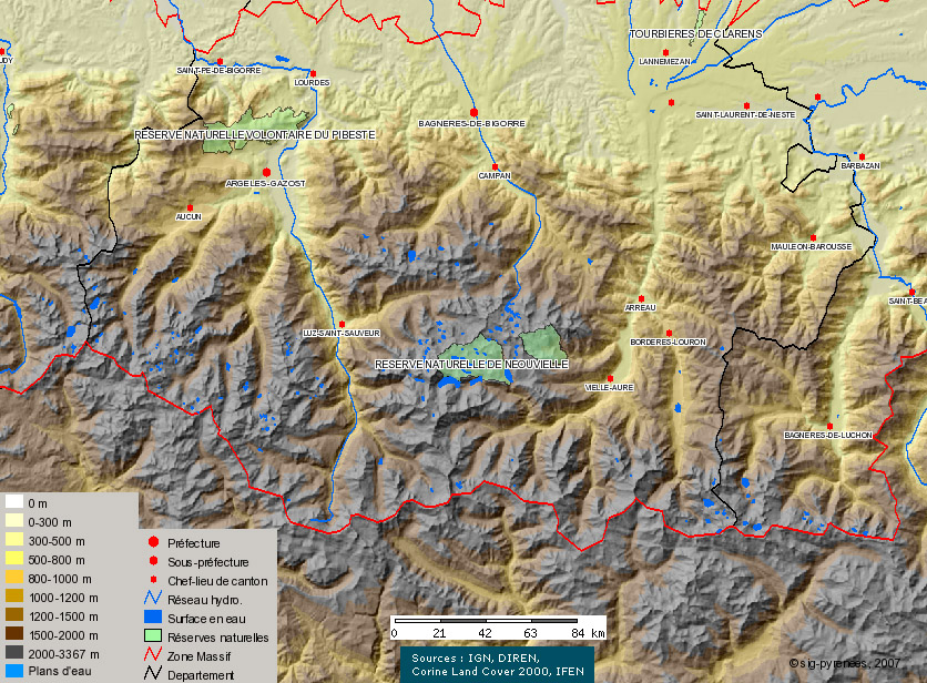
Carte des Lacs de la zone Néouvielle - Hautes Pyrénées.jpg - Sig-pyrenees

Pyrenees topographic map-fr.svg - Iñaki LL
Pyrenees topo map-blank.jpg - Sting

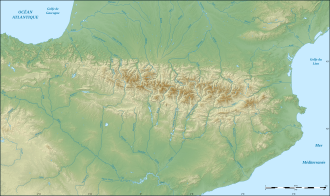
Pyrenees relief map with rivers-fr.svg - Sting

Pyrenees topographic map-ru.svg - Sting

Pyrenees topographic map-de.svg - Sting

Pyrenees topographic map-es.svg - Lojwe
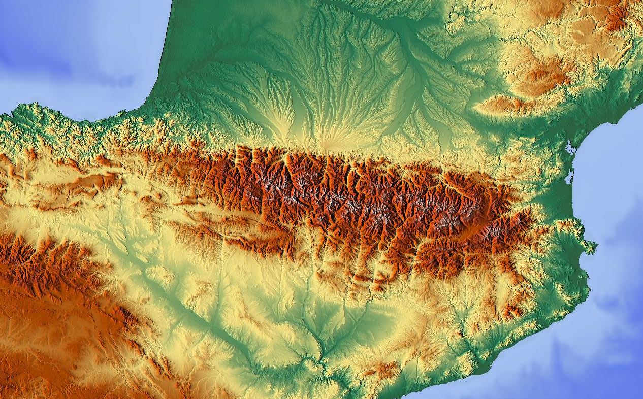
Pyrenees Relief.png - Guérin Nicolas

Pyrenees topographic map-ca.svg - VerusPhoebusApollo

Adour basin.png - Guérin Nicolas

Pyrenees topographic map-pl.svg - Curdeius

Le Midi.png - W!B:

Pyrenees topographic map-it.svg - Wiskandar~commonswiki

Pyrenees topographic map-eo.svg - Mutichou

Pyrenees topographic map-en.svg - RedWolf
Midi pyrenees topographic blank map.jpg - Akiry

Spain Aragón location map relief.png - Miguillen

Pyrenees topographic map-mk.svg - Bjankuloski06en

Languedoc-Roussillon-Midi-Pyrénées region relief location map.jpg - Flappiefh

Pyrenees topographic map.png - Rob984

Position Ossau.png - Capbourrut

Hydrographie et failles actives des Pyrénées.png - Guérin Nicolas

Arbailles OpenTopoMap.jpg - BotaFlo

Arbailles OpenTopoMap altitudes couleurs.jpg - BotaFlo

Tableau orographique... de la chaîne des Pyrénées - Frossard, Emilien - btv1b105677251.jpg - Gzen92Bot