Wikimedi'Òc
Modes d'emploi

Cet album fait partie des albums
Cet album photos contient les sous-albums suivants :


B5160 - geograph.org.uk - 27234.jpg - GeographBot
Brooklands Road, Sale. - geograph.org.uk - 23015.jpg - GeographBot
A6144 - geograph.org.uk - 49558.jpg - GeographBot

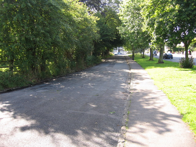
Footpath and Play area - geograph.org.uk - 38803.jpg - GeographBot

Dunham Woodhouses - geograph.org.uk - 79500.jpg - GeographBot

Green Lane at Baguley - geograph.org.uk - 61349.jpg - GeographBot

Manor Avenue - geograph.org.uk - 44903.jpg - GeographBot

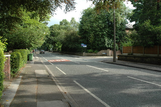
Road Junction - geograph.org.uk - 35746.jpg - GeographBot

Sinderland Lane - geograph.org.uk - 35742.jpg - GeographBot

Old Trafford - geograph.org.uk - 47827.jpg - GeographBot

Old Trafford Cricket Ground - geograph.org.uk - 47838.jpg - GeographBot

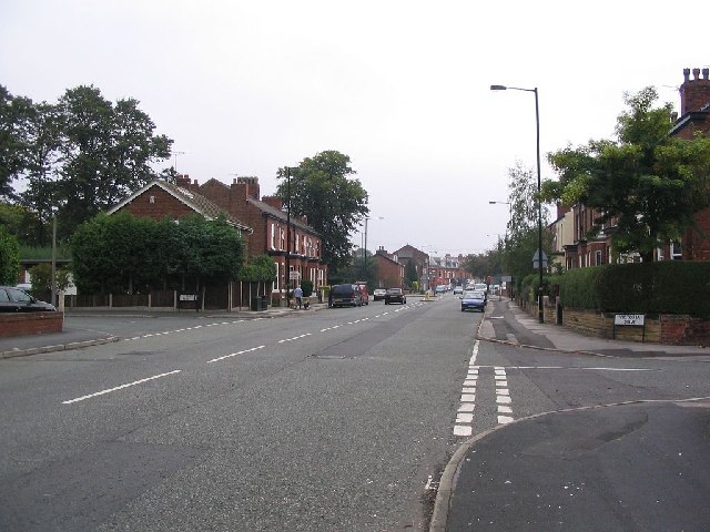
Northenden Road - geograph.org.uk - 67392.jpg - GeographBot

Woodsend Rd South - geograph.org.uk - 45122.jpg - GeographBot

Diversionary tactics - geograph.org.uk - 146075.jpg - GeographBot

Timperley Brook - geograph.org.uk - 144069.jpg - GeographBot

Hawthorn Lane (or Road) - geograph.org.uk - 266913.jpg - Geograph Update Bot

Hawthorn Lane - geograph.org.uk - 266947.jpg - Geograph Update Bot

Red Lion Public House Flixton - geograph.org.uk - 419767.jpg - GeographBot

Church Lane, Ashton upon Mersey, Sale - geograph.org.uk - 729418.jpg - GeographBot

Clarence Road, Hale - geograph.org.uk - 1129857.jpg - GeographBot

Cleveland Road, Hale - geograph.org.uk - 1129861.jpg - GeographBot

Graysands Road, Hale - geograph.org.uk - 1129862.jpg - GeographBot

Hale Road, looking east - geograph.org.uk - 1129846.jpg - GeographBot

Hale Road, looking east - geograph.org.uk - 1129868.jpg - GeographBot

Hale Road, looking west - geograph.org.uk - 1129843.jpg - GeographBot
Hermitage Road, Hale - geograph.org.uk - 1129850.jpg - GeographBot

Hermitage Road, looking west - geograph.org.uk - 1129853.jpg - GeographBot

Timperley - Mayfield Road, looking north - geograph.org.uk - 1129878.jpg - GeographBot

Ashburton Road West, Trafford Park - geograph.org.uk - 1130256.jpg - GeographBot

Stretford, fingerpost - geograph.org.uk - 1136307.jpg - GeographBot

Trafford Park - Third Avenue, looking south - geograph.org.uk - 1130188.jpg - GeographBot

"Adamson Circle" roundabout, near the Trafford Centre - geograph.org.uk - 1318468.jpg - GeographBot

Stretford, old post office - geograph.org.uk - 1312107.jpg - GeographBot

A6144 At Carrington Training Centre Entrance - geograph.org.uk - 1338009.jpg - GeographBot

A6144 Near Ackers Farm - geograph.org.uk - 1338006.jpg - GeographBot

Warburton - Paddock Lane - geograph.org.uk - 1337699.jpg - GeographBot

Warburton - Paddock Lane - geograph.org.uk - 1337702.jpg - GeographBot

Warburton - Prefabricated Houses - geograph.org.uk - 1337706.jpg - GeographBot

Welcome To Warburton - geograph.org.uk - 1337693.jpg - GeographBot
Church Road past - geograph.org.uk - 1427855.jpg - GeographBot

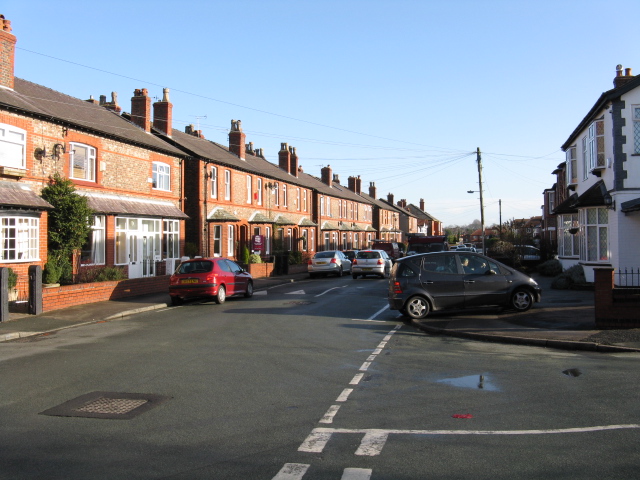
Stretford, Tresco Avenue - geograph.org.uk - 1472534.jpg - GeographBot

Shops on Crofts Bank Road, Urmston.JPG - Rept0n1x

Kingsway Park, Davyhulme.JPG - Rept0n1x

Shetland Way, Davyhulme (2).JPG - Rept0n1x

Shetland Way, Davyhulme (1).JPG - Rept0n1x

Junction of Station Road and Higher Road, Urmston.JPG - Rept0n1x

Entering Sale at Northenden Road.jpg - SteinsplitterBot

Corner of Normans Place - Lyme Grove, Altrincham - panoramio.jpg - Panoramio upload bot

Południowy Manchester - panoramio - dzidek (5).jpg - Panoramio upload bot