Wikimedi'Òc
Modes d'emploi

Cet album fait partie des albums


AngleseyCopperStream.jpg - Cls14

Hidden stream - geograph.org.uk - 73062.jpg - GeographBot

Stream at Pont y Crawiau - geograph.org.uk - 198001.jpg - GeographBot

The Crigyll river near to Rhosneigr - geograph.org.uk - 186709.jpg - GeographBot

The Mill Stream - geograph.org.uk - 247398.jpg - GeographBot

Stream and path at Coed yr Hendy - geograph.org.uk - 375002.jpg - GeographBot

The creek from the footbridge - geograph.org.uk - 396836.jpg - GeographBot

Stream north of Llanfairynghornwy - geograph.org.uk - 402689.jpg - GeographBot

A tidal creek and wooded island - geograph.org.uk - 438888.jpg - GeographBot

Freshwater Stream at Lligwy Bay - geograph.org.uk - 490193.jpg - GeographBot

Marsh creeks - geograph.org.uk - 525991.jpg - GeographBot

A creek separating Ynys Faelog from Ynys Mon (Anglesey) - geograph.org.uk - 586388.jpg - GeographBot

Afon Cadnant - geograph.org.uk - 679036.jpg - GeographBot

The Afon Cadnant and Pont Llandegfan - geograph.org.uk - 679039.jpg - GeographBot

Creeks at Traeth Dulas - geograph.org.uk - 737190.jpg - GeographBot

Valley of an unnamed stream - geograph.org.uk - 737064.jpg - GeographBot

A creek below Sand Hall Cottage - geograph.org.uk - 755852.jpg - GeographBot

A wreck up the creek - geograph.org.uk - 755867.jpg - GeographBot

The estuary of Afon Carnau - geograph.org.uk - 769572.jpg - GeographBot

Drainage ditch south of Llyn Traffwll - geograph.org.uk - 773769.jpg - GeographBot

A diversion of water from Afon Gwna to Llyn Coron - geograph.org.uk - 784339.jpg - GeographBot

A stream and a shelter belt by the derelict Bont Faen farmhouse - geograph.org.uk - 780026.jpg - GeographBot

Afon Cadnant near Llandegfan Church - geograph.org.uk - 787694.jpg - GeographBot

Afon Frechwen south of Bont Faen farmhouse - geograph.org.uk - 783570.jpg - GeographBot

Afon Gwna at the ford viewed from the footbridge - geograph.org.uk - 784108.jpg - GeographBot

Afon Gwna near Melin Gwna - geograph.org.uk - 784267.jpg - GeographBot

Afon Gwna upstream of the footbridge besides the ford. - geograph.org.uk - 784093.jpg - GeographBot

Drainage ditch discharging into Llyn Traffwll - geograph.org.uk - 786367.jpg - GeographBot

Afon Braint upstream from the bridge - geograph.org.uk - 807930.jpg - GeographBot

A creek of the Inland Sea - geograph.org.uk - 812211.jpg - GeographBot

A placid Afon Braint upstream of the footbridge - geograph.org.uk - 849437.jpg - GeographBot

Afon Newydd - a reclaimed marshland dyke - geograph.org.uk - 844159.jpg - GeographBot

A tributary of Afon Braint at Pont Sarn-lew - geograph.org.uk - 886119.jpg - GeographBot

Stream above the bridge - geograph.org.uk - 883156.jpg - GeographBot

A creek behind Ynys Gaint - geograph.org.uk - 938488.jpg - GeographBot

Nant y Felin discharging into the Straits - geograph.org.uk - 979828.jpg - GeographBot

Afon Crigyll below Pont Factory Cymunod - geograph.org.uk - 1000623.jpg - GeographBot

Afon Crigyll upstream of Pont Factory Cymunod - geograph.org.uk - 1000616.jpg - GeographBot

A creek of Afon Ffraw - geograph.org.uk - 1027349.jpg - GeographBot

Afon Caradog-bach - geograph.org.uk - 1020756.jpg - GeographBot

A rill reaching the sea at Porth Nobla - geograph.org.uk - 1060785.jpg - GeographBot

Afon Caer-glaw north of the A 55 - geograph.org.uk - 1068340.jpg - GeographBot

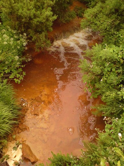
Badly polluted stream - geograph.org.uk - 1169806.jpg - GeographBot

The confluence of the Melin Hywel race with Afon Alaw below the bridge - geograph.org.uk - 1357653.jpg - GeographBot

Afon Crugmor - geograph.org.uk - 1376375.jpg - GeographBot

Afon Carreglwyd - geograph.org.uk - 1390311.jpg - GeographBot

Afon Carreglwyd above Pont Cil-maenan - geograph.org.uk - 1406898.jpg - GeographBot

Afon Crugmor - geograph.org.uk - 1400638.jpg - GeographBot

Creek east of Pont Britannia - geograph.org.uk - 1430082.jpg - GeographBot

View along a tributary of Afon Lleiniog towards Pont y Rhyd - geograph.org.uk - 1544333.jpg - GeographBot