Wikimedi'Òc
Modes d'emploi

Cet album fait partie des albums


Footpath crossing the A66 (Appleby by-pass) - geograph.org.uk - 5031901.jpg - GeographBot

Footpath to Bandley Bridge - geograph.org.uk - 5009355.jpg - GeographBot

The Pennine Way near High Nest - geograph.org.uk - 7294043.jpg - GeographBot

Stile and fingerpost to Deepdale Head - geograph.org.uk - 897497.jpg - GeographBot

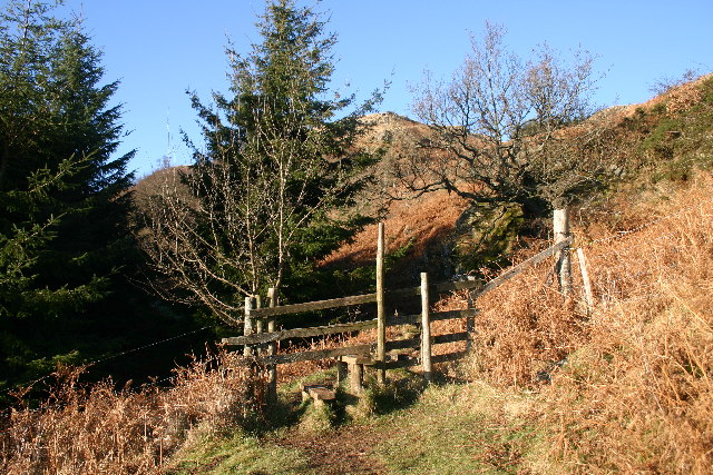
Hole in the Wall - geograph.org.uk - 29073.jpg - GeographBot

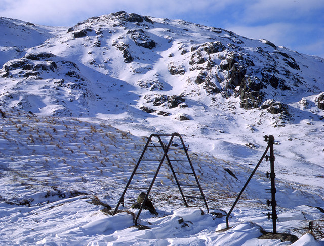
Electric Stile Cold Pike - geograph.org.uk - 74327.jpg - GeographBot

Gate and stile at Brantrake. - geograph.org.uk - 66226.jpg - GeographBot

Stile - geograph.org.uk - 61591.jpg - GeographBot

Stile Drove Road Sourfoot Fell - geograph.org.uk - 81044.jpg - GeographBot

Stile and Public Footpath - geograph.org.uk - 89696.jpg - GeographBot

Stile Style - Mind the Step - geograph.org.uk - 102331.jpg - GeographBot

Stile and Milestone - geograph.org.uk - 104936.jpg - GeographBot
Stile lLeading to Swinburn's Park Plantation - geograph.org.uk - 100986.jpg - GeographBot

Unstylish Stile - geograph.org.uk - 102808.jpg - GeographBot

Slit Stile High Biggins - geograph.org.uk - 124012.jpg - GeographBot

Stile - geograph.org.uk - 128598.jpg - GeographBot

Slit Stile - geograph.org.uk - 134905.jpg - GeographBot

Stile Hare Slack Hill - geograph.org.uk - 134935.jpg - GeographBot

Stile on Footpath Below Cuddy Crag - geograph.org.uk - 139625.jpg - GeographBot
Gate and Stile - geograph.org.uk - 141250.jpg - GeographBot

Stile near Seatle - geograph.org.uk - 141309.jpg - GeographBot

Hedge gate stile. - geograph.org.uk - 119887.jpg - GeographBot

View towards Ambleside - geograph.org.uk - 142660.jpg - GeographBot

Stile and finger post - geograph.org.uk - 164216.jpg - GeographBot

Wall Stile and Gorse - geograph.org.uk - 164189.jpg - GeographBot

Begin Hill Stile - geograph.org.uk - 208053.jpg - GeographBot

Stile below White Howe - geograph.org.uk - 189243.jpg - GeographBot

Stile - geograph.org.uk - 194053.jpg - GeographBot

Footpath to Great Asby - geograph.org.uk - 209734.jpg - GeographBot

Wall Stile - geograph.org.uk - 193706.jpg - GeographBot

Footpath to Talkin - geograph.org.uk - 216890.jpg - GeographBot

Gap Stile and Footpath sign. - geograph.org.uk - 222179.jpg - GeographBot

Ladder stile near Dufton Wood - geograph.org.uk - 220306.jpg - GeographBot

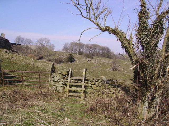
Stone Stile - geograph.org.uk - 216875.jpg - GeographBot

Stile and Heather - geograph.org.uk - 223181.jpg - GeographBot

Stile and converted barn. - geograph.org.uk - 222178.jpg - GeographBot

Stile and gate, Tongue Moor - geograph.org.uk - 228574.jpg - GeographBot

Stile and Cattle Near Hill Top - geograph.org.uk - 252195.jpg - GeographBot
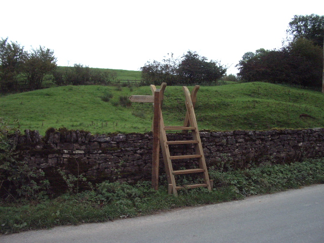
Brand new - geograph.org.uk - 269479.jpg - GeographBot

Stile on Hadrians Wall Path - geograph.org.uk - 274060.jpg - GeographBot

Wall and stile, Black Crag summit - geograph.org.uk - 276094.jpg - GeographBot

Stile - geograph.org.uk - 283922.jpg - GeographBot

Slit Stile - geograph.org.uk - 301843.jpg - GeographBot

New Stile, Rusland Heights - geograph.org.uk - 315599.jpg - GeographBot

Step Stile - geograph.org.uk - 315602.jpg - GeographBot

Footpath to Whelpo Beck - geograph.org.uk - 338470.jpg - GeographBot

Stile, Township Allotment - geograph.org.uk - 336070.jpg - GeographBot

Matthew Rudding - geograph.org.uk - 341273.jpg - GeographBot

Stile and Footpath - geograph.org.uk - 367986.jpg - GeographBot

Improvised Stile, Harter Fell - geograph.org.uk - 379498.jpg - GeographBot

New Stile at High Edge - geograph.org.uk - 397026.jpg - GeographBot

Stile - geograph.org.uk - 405241.jpg - GeographBot

A tight fit - geograph.org.uk - 416470.jpg - GeographBot

Footpath and stile to Abbot Holme - geograph.org.uk - 436614.jpg - GeographBot

Ladder stile in Miterdale - geograph.org.uk - 514117.jpg - GeographBot

Stile on footpath to Tullythwaite House - geograph.org.uk - 511578.jpg - GeographBot

Upper Mosedale Stile - geograph.org.uk - 514832.jpg - GeographBot

Footpath to Dearham Hall - geograph.org.uk - 525638.jpg - GeographBot

Winton stile - geograph.org.uk - 526450.jpg - GeographBot

Drystone dyke with stile - geograph.org.uk - 555591.jpg - GeographBot

Stile Over Wall, Scandale Pass - geograph.org.uk - 551824.jpg - GeographBot

Stile into Manesty Park - geograph.org.uk - 556720.jpg - GeographBot

A stile - geograph.org.uk - 577332.jpg - GeographBot

Gate and Stile - geograph.org.uk - 677435.jpg - GeographBot

Stile, Branstree - geograph.org.uk - 677414.jpg - GeographBot

Stile on the Pennine Way - geograph.org.uk - 680557.jpg - GeographBot

Stile under Great Howe - geograph.org.uk - 680734.jpg - GeographBot

Wall Stile, Kentmere Pike - geograph.org.uk - 680297.jpg - GeographBot

A new stile - geograph.org.uk - 748372.jpg - GeographBot

Stone stile no.2 on footpath above Closegill - geograph.org.uk - 749117.jpg - GeographBot

Stone stile on footpath above Closegill - geograph.org.uk - 749114.jpg - GeographBot

Stile, Dales Way - geograph.org.uk - 758541.jpg - GeographBot

Stile, Snaizwold Fell - geograph.org.uk - 755149.jpg - GeographBot

Public footpath, Hewer Hill to Kellsprings - geograph.org.uk - 776508.jpg - GeographBot

Stile, Lingmell path - geograph.org.uk - 770545.jpg - GeographBot

Footpath to Banks Farm - geograph.org.uk - 951240.jpg - GeographBot

Stile and Wall - geograph.org.uk - 1038031.jpg - GeographBot
Skeleton of old fence and stile at head of Easdale 1986 - geograph.org.uk - 1042989.jpg - GeographBot
Stile - geograph.org.uk - 1115170.jpg - GeographBot

Black Crag - stile just north of the summit - geograph.org.uk - 1188361.jpg - GeographBot

Stile, or gap in the wall - geograph.org.uk - 1256076.jpg - GeographBot

Stile and Gate - geograph.org.uk - 1263559.jpg - GeographBot

A seat by the River Dee - geograph.org.uk - 1382679.jpg - GeographBot

Squeeze stile, north west side of Church Bridge - geograph.org.uk - 1382686.jpg - GeographBot

Squeeze stile, south east side of Church Bridge - geograph.org.uk - 1382681.jpg - GeographBot

Squeeze stile, south west side of Church Bridge - geograph.org.uk - 1382683.jpg - GeographBot

Access to Solway salt marshes at Border - geograph.org.uk - 1500306.jpg - GeographBot

Two stiles off the road near Wasdale Head - geograph.org.uk - 1519876.jpg - GeographBot

Stile with Gate - geograph.org.uk - 646021.jpg - GeographBot
Stile-20120813.jpg - Kreuzschnabel
The top of Nanny Lane - geograph.org.uk - 2315419.jpg - GeographBot

Stile on the south west side of Snarker Pike - geograph.org.uk - 2317927.jpg - GeographBot

Stile on The Hundreds - geograph.org.uk - 2382866.jpg - GeographBot

Stile at the top of Nanny Lane - geograph.org.uk - 2501875.jpg - GeographBot

Stile, Idle Hill - geograph.org.uk - 3047462.jpg - GeographBot

Walker and stile, Loughrigg Tarn - geograph.org.uk - 4477763.jpg - GeographBot

Stile on path from Pennine Way to Annat Walls - geograph.org.uk - 4499415.jpg - GeographBot

Large Stile into woodland, Old Intake - geograph.org.uk - 5571066.jpg - GeographBot

Gate and Stile near Parkhead - geograph.org.uk - 7397255.jpg - GeographBot

Stile near Parkhead - geograph.org.uk - 7397452.jpg - GeographBot