Wikimedi'Òc
Modes d'emploi

Cet album fait partie des albums
Cet album photos contient les sous-albums suivants :


Signpost at junction near Vose farm - geograph.org.uk - 144378.jpg - GeographBot

Down the lane from Boswague to Portholland - geograph.org.uk - 303325.jpg - GeographBot

Nare Head from Porthluney Cove (9241).jpg - KTC

Rocks on Perbean Beach (9240).jpg - KTC

Porthluney Cove - geograph.org.uk - 7485429.jpg - GeographBot

The Upper Garden at Caerhays - geograph.org.uk - 7485437.jpg - GeographBot

The Kitchen Walled Garden - geograph.org.uk - 7485459.jpg - GeographBot

Tubbs Mill.jpg - Paul the Archivist

Approaching East Portholland on the Coast Path in the Mist - geograph.org.uk - 2028404.jpg - GeographBot

Highland cattle at Caerhays - geograph.org.uk - 2150114.jpg - GeographBot

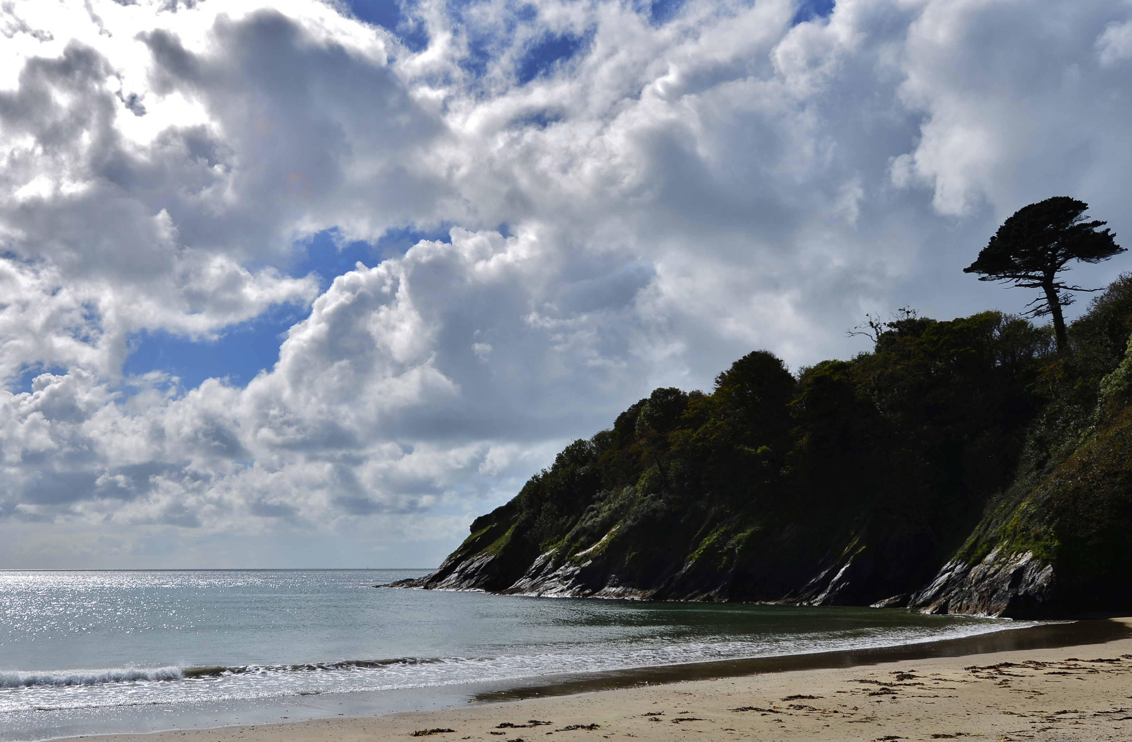
The coast near East Portholland - geograph.org.uk - 2150117.jpg - GeographBot

Coast path near East Portholland - geograph.org.uk - 2150121.jpg - GeographBot

Walker on the South West Coast Path - geograph.org.uk - 2537512.jpg - GeographBot

South West Coast Path, looking east - geograph.org.uk - 2537514.jpg - GeographBot

East Portholland in Winter - geograph.org.uk - 2792218.jpg - GeographBot

Watchouse Point at Porthluney Cove, Caerhays - geograph.org.uk - 2878776.jpg - GeographBot

St Michael's church, St Michael Caerhayes - monument to Captain George Bettesworth RN - geograph.org.uk - 3560348.jpg - GeographBot

St Michael's church, St Michael Caerhayes - monument to Captain George Bettesworth RN (detail) - geograph.org.uk - 3560351.jpg - GeographBot

St Michael's church, St Michael Caerhayes - geograph.org.uk - 3560360.jpg - GeographBot

Porthluney Cove - geograph.org.uk - 7511739.jpg - GeographBot

Coast path rising from Caerhays Castle - geograph.org.uk - 3798079.jpg - GeographBot
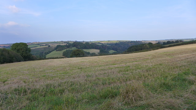
Field near Treberrick - geograph.org.uk - 4213118.jpg - GeographBot

Uphill on National Cycle Route 3 - geograph.org.uk - 4241128.jpg - GeographBot

Crop field, St Michael Caerhays - geograph.org.uk - 4241130.jpg - GeographBot

Lane towards Treluckey Mill - geograph.org.uk - 4241131.jpg - GeographBot

Field entrance off National Cycle Route 3 - geograph.org.uk - 4241140.jpg - GeographBot

National Cycle Route 3 - geograph.org.uk - 4241146.jpg - GeographBot

Minor road junction near Tubbs Mill - geograph.org.uk - 4241150.jpg - GeographBot

Farmland off National Cycle Route 3 - geograph.org.uk - 4241153.jpg - GeographBot

National Cycle Route 3 - geograph.org.uk - 4241157.jpg - GeographBot

Porthluney Cove - geograph.org.uk - 4674329.jpg - GeographBot
Porthluney Cove - geograph.org.uk - 4674331.jpg - GeographBot

Caerhays, St. Michael's Church - geograph.org.uk - 4674336.jpg - GeographBot

Caerhays, St. Michael's Church - geograph.org.uk - 4674338.jpg - GeographBot

Caerhays, St. Michael's Church - geograph.org.uk - 4674343.jpg - GeographBot

Caerhays, Old Park Wood from St. Michael's Church - geograph.org.uk - 4674346.jpg - GeographBot

Caerhays, Old Park Wood from St. Michael's Church - geograph.org.uk - 4674349.jpg - GeographBot

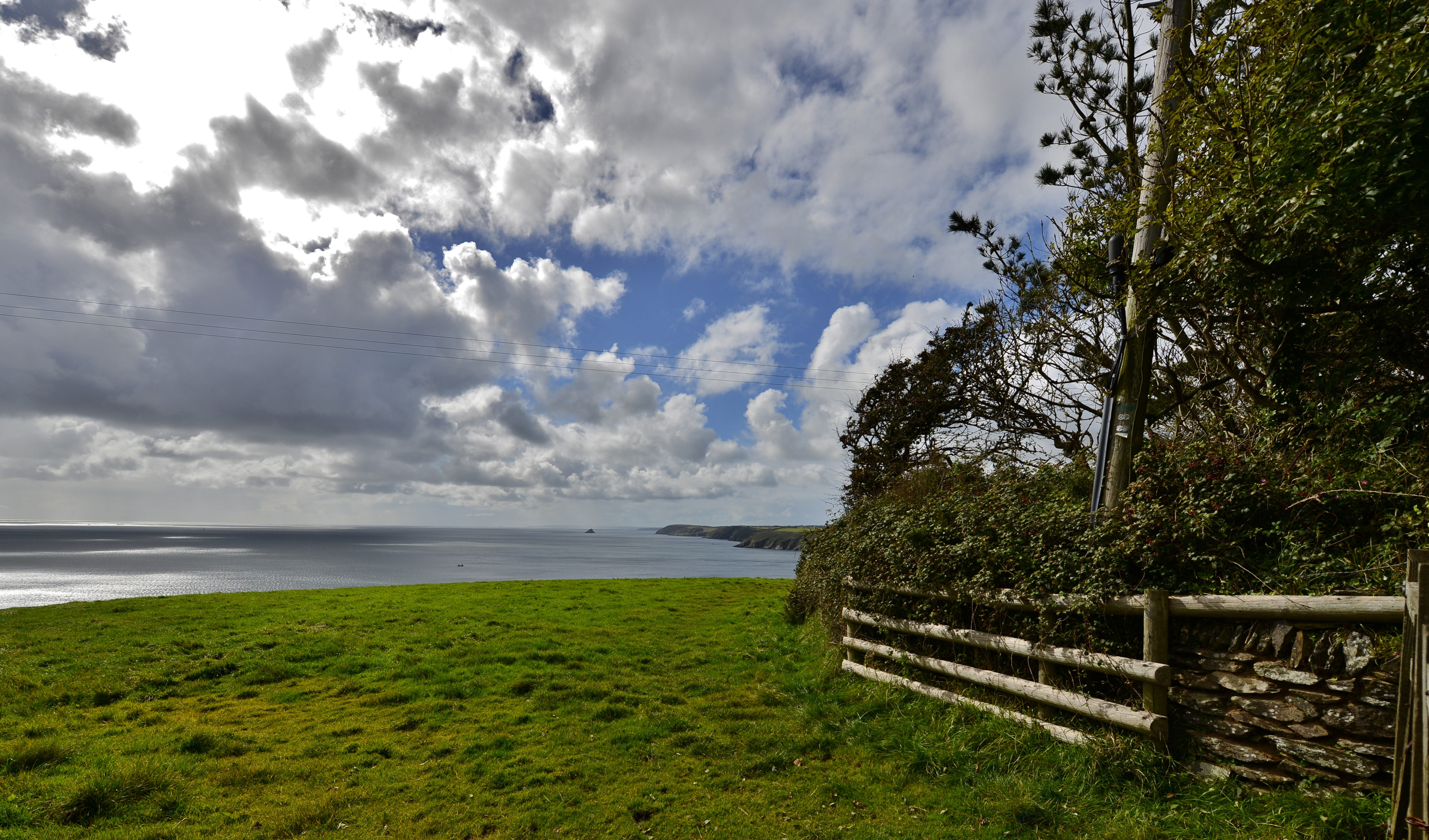
Caerhays, Coastal pasture - geograph.org.uk - 4677242.jpg - GeographBot

Caerhays, Coastal pasture - geograph.org.uk - 4677247.jpg - GeographBot

Caerhays, Coastal pasture with ball valved drinking trough - geograph.org.uk - 4677253.jpg - GeographBot

Caerhays, Coastal pasture - geograph.org.uk - 4677265.jpg - GeographBot
Caerhays, Coastal pasture - geograph.org.uk - 4677271.jpg - GeographBot

Caerhays, Coastal pasture, the ball valved drinking trough - geograph.org.uk - 4677280.jpg - GeographBot

Caerhays, St. Michael's Church, The Capt. George Bettesworth RN memorial - geograph.org.uk - 4678955.jpg - GeographBot

Caerhays, St. Michael's Church, The c15th-16th tower - geograph.org.uk - 4772058.jpg - GeographBot

Caerhays, St. Michael's Church, The Trevanion memorial aisle 1 - geograph.org.uk - 4772065.jpg - GeographBot

Caerhays, St. Michael's Church, The Trevanion memorial aisle 2 - geograph.org.uk - 4772070.jpg - GeographBot

Caerhays, St. Michael's Church, The Trevanion memorial aisle 3 - geograph.org.uk - 4772074.jpg - GeographBot

Caerhays, St. Michael's Church, The Trevanion memorial aisle 4 - geograph.org.uk - 4772079.jpg - GeographBot

Caerhays, St. Michael's Church, The pulpit 1 - geograph.org.uk - 4772084.jpg - GeographBot

Caerhays, St. Michael's Church, The pulpit 2 - geograph.org.uk - 4772089.jpg - GeographBot

Caerhays, St. Michael's Church, The late Norman font carved from local Pentewan stone 1 - geograph.org.uk - 4772095.jpg - GeographBot

Caerhays, St. Michael's Church, The late Norman font carved from local Pentewan stone 2 - geograph.org.uk - 4772099.jpg - GeographBot
Caerhays, St. Michael's Church, The nave and north transept - geograph.org.uk - 4772105.jpg - GeographBot

Caerhays, St. Michael's Church, The nave - geograph.org.uk - 4772111.jpg - GeographBot

Caerhays, St. Michael's Church, Small stained glass window - geograph.org.uk - 4772114.jpg - GeographBot

Caerhays, St. Michael's Church, The late Norman font carved from local Pentewan stone 3 - geograph.org.uk - 4772117.jpg - GeographBot

Caerhays, St. Michael's Church, The Trevanion memorial aisle 5 - geograph.org.uk - 4772122.jpg - GeographBot

Caerhays, St. Michael's Church, The Capt. George Bettesworth RN memorial - geograph.org.uk - 4772125.jpg - GeographBot

Caerhays, St. Michael's Church, The Capt. George Bettesworth RN memorial - geograph.org.uk - 4772127.jpg - GeographBot

Caerhays, St. Michael's Church, Blocked interior face of the tower - geograph.org.uk - 4772131.jpg - GeographBot

Caerhays, St. Michael's Church, South aspect - geograph.org.uk - 4772135.jpg - GeographBot

Caerhays, St. Michael's Church, The churchyard from the north - geograph.org.uk - 4772141.jpg - GeographBot

Caerhays, St. Michael's Church, The c15th-16th tower - geograph.org.uk - 4772146.jpg - GeographBot

Caerhays, St. Michael's Church, Weathered "Agnus Dei" above the Norman north doorway - geograph.org.uk - 4772150.jpg - GeographBot

Caerhays, St. Michael's Church, Weathered "Agnus Dei" above the Norman north doorway - geograph.org.uk - 4772156.jpg - GeographBot

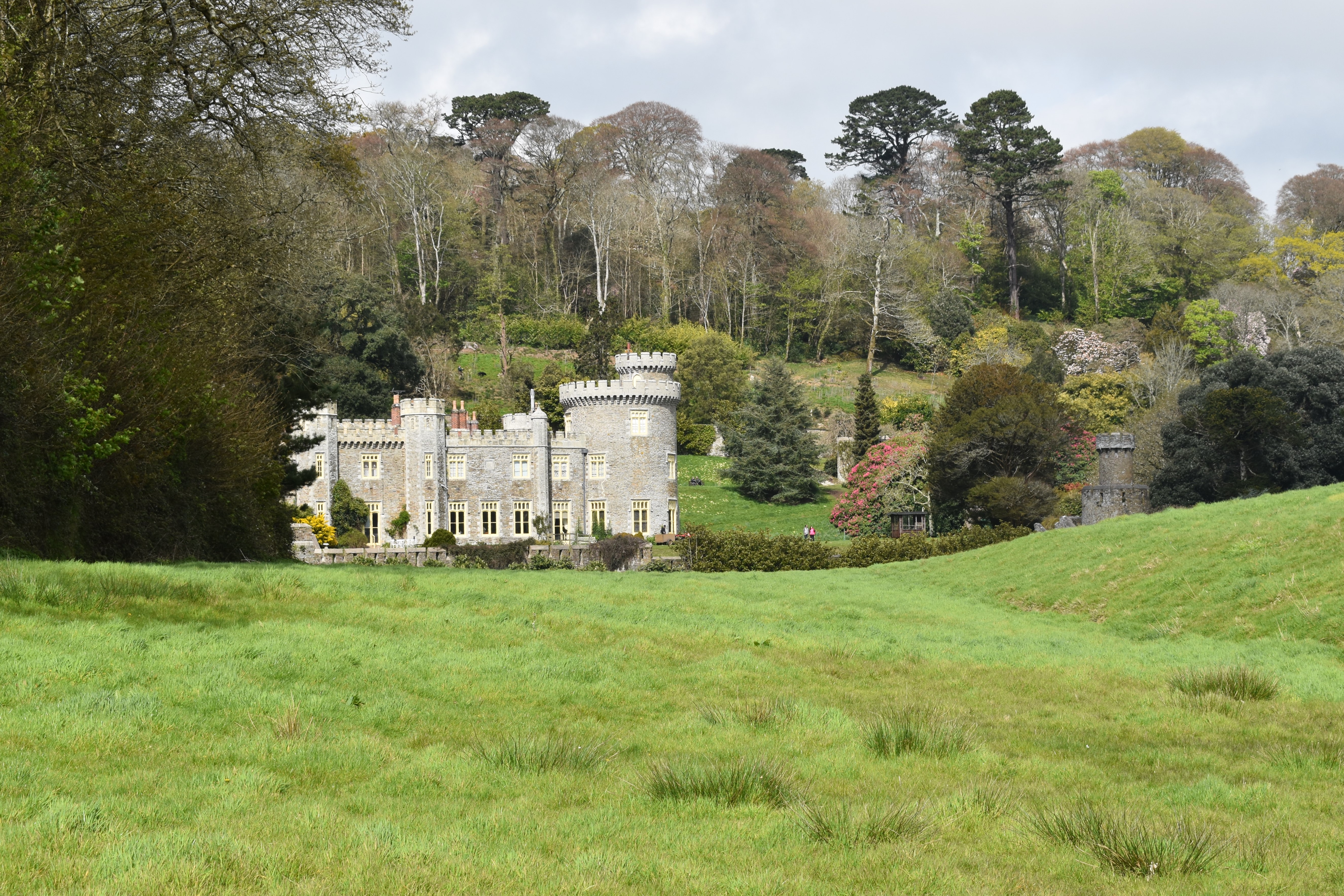
Caerhays Castle - geograph.org.uk - 5111870.jpg - GeographBot

Caerhays Castle - Bottom Lodge - geograph.org.uk - 7517640.jpg - GeographBot

Caerhays Castle - geograph.org.uk - 5707870.jpg - GeographBot

Old Direction Sign - Signpost north of Polgrain, Caerhays parish - geograph.org.uk - 6050713.jpg - GeographBot

Sheep grazing by the old coastguard lookout at Caerhays - geograph.org.uk - 6130275.jpg - GeographBot

Cottages at East Portholland - geograph.org.uk - 6130305.jpg - GeographBot

Portluney Cove at low tide - geograph.org.uk - 6130343.jpg - GeographBot
Caerhays Castle viewed from the coast road - geograph.org.uk - 6130380.jpg - GeographBot

Windswept trees near St Michael Caerhays - geograph.org.uk - 6138103.jpg - GeographBot

Potato field near St Michael Caerhays - geograph.org.uk - 6138129.jpg - GeographBot

The parish church, St Michael Caerhays - geograph.org.uk - 6138148.jpg - GeographBot

Farmhouse at Great Polgrain - geograph.org.uk - 6138177.jpg - GeographBot
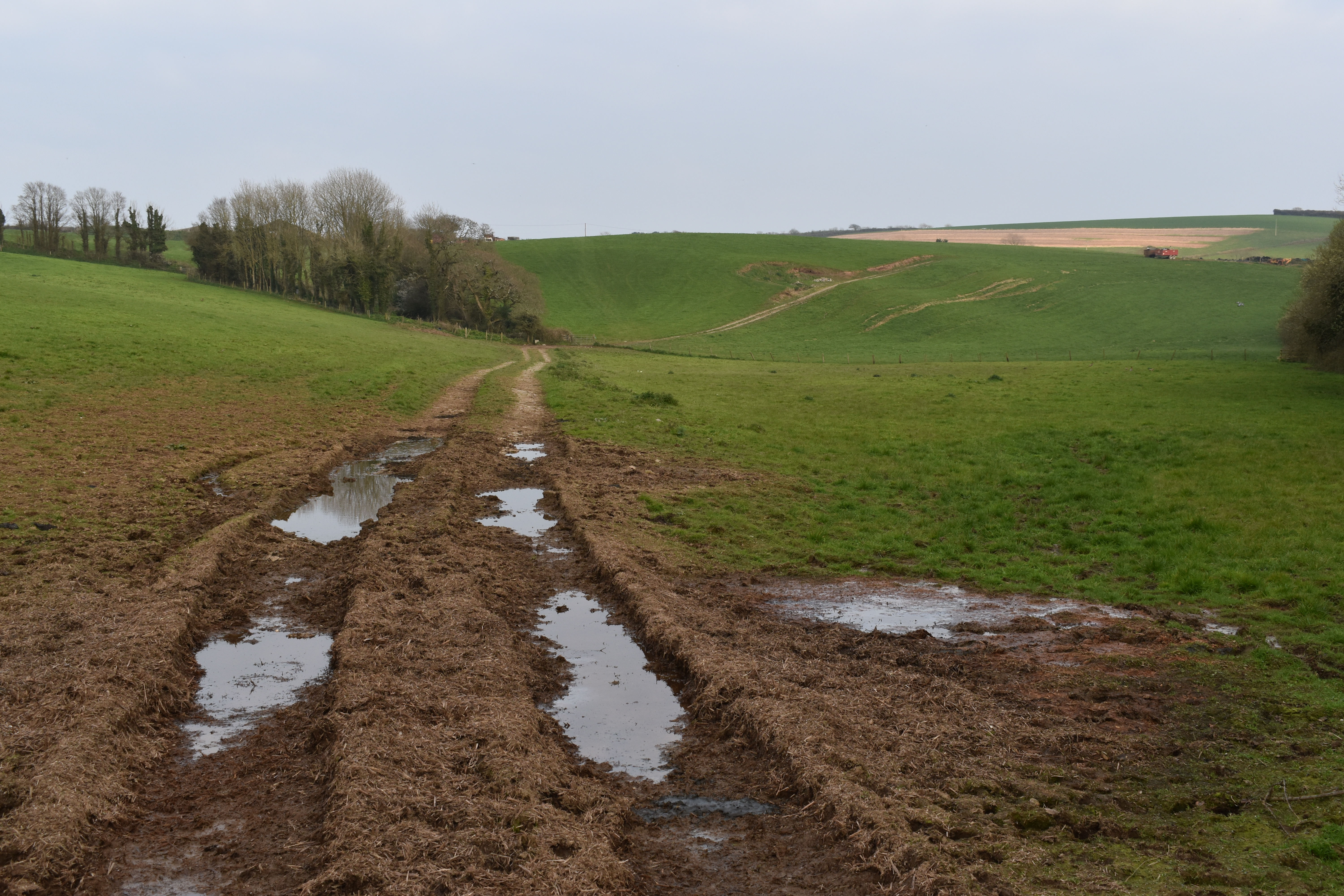
Farm track towards Great Polgrain - geograph.org.uk - 6138189.jpg - GeographBot

Ford and footbridge in the valley below Great Polgrain - geograph.org.uk - 6138197.jpg - GeographBot

Farmhouse at Treberrick - geograph.org.uk - 6139479.jpg - GeographBot

Sheep grazing above Tubbs Mill - geograph.org.uk - 6139510.jpg - GeographBot

Caerhays Castle gardens - geograph.org.uk - 6164954.jpg - GeographBot

View West from St Michael Caerhayes Church - geograph.org.uk - 6888239.jpg - GeographBot

OS Cut Mark - St Michael Caerhays, Church - geograph.org.uk - 6889240.jpg - GeographBot

Section of St Michael Caerhays, Church - geograph.org.uk - 6889241.jpg - GeographBot

St Michael's Church - geograph.org.uk - 7392021.jpg - GeographBot