Wikimedi'Òc
Modes d'emploi

Cet album fait partie des albums
Cet album photos contient les sous-albums suivants :


The Employment of Women in Britain, 1914-1918 Q28392.jpg - Ducksoup

Manchester from Billinge Hill.jpg - Jza84

Arriva NW Strider 1065.jpg - Quackdave
Billinge Chapel End - Houghwood.jpg - Skinsmoke

Rainford - Fir Tree Farm. Kings Moss.jpg - Skinsmoke

Seneley Green - Barton Clough.jpg - Skinsmoke

Abandoned Farmhouse - geograph.org.uk - 20838.jpg - GeographBot

Ashgrove Crescent Area of Billinge - geograph.org.uk - 20865.jpg - GeographBot

Billinge - geograph.org.uk - 19383.jpg - GeographBot

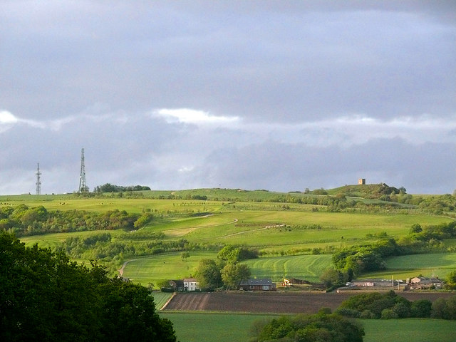
Billinge Hill - geograph.org.uk - 20859.jpg - GeographBot

Emmanuel Chapel, Sutton Heath. - geograph.org.uk - 28143.jpg - GeographBot

East Lancs Road (A580) at St. Helens - geograph.org.uk - 19921.jpg - GeographBot

Farmland North of Shaley Brow - Billinge - geograph.org.uk - 20854.jpg - GeographBot

Red Barn Farm and the Red Cat^ - geograph.org.uk - 4758.jpg - GeographBot

Junction at Peasley Cross - geograph.org.uk - 28095.jpg - GeographBot

Junction with Chester Lane, Jubits Lane and Gartons Lane, St.Helens - geograph.org.uk - 28260.jpg - GeographBot

Junction with Elton Head Road and Lowfield Lane, St.Helens - geograph.org.uk - 28136.jpg - GeographBot

Junction with Robins Lane and Baxters Lane, St.Helens - geograph.org.uk - 28082.jpg - GeographBot

Kings Moss - geograph.org.uk - 19382.jpg - GeographBot

Monument to the Colliers of St.Helens - geograph.org.uk - 28127.jpg - Rotatebot

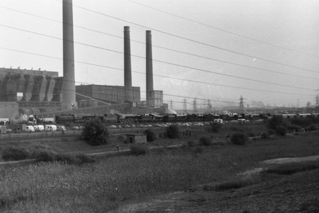
Old Power Station site... - geograph.org.uk - 28067.jpg - GeographBot

Ravenhead Works, St.Helens - geograph.org.uk - 28088.jpg - GeographBot

Roundabout on A570, St.Helens - geograph.org.uk - 28123.jpg - GeographBot

Roundabout on the A570 St. Helens Linkway - geograph.org.uk - 28209.jpg - GeographBot

The Promised Land - geograph.org.uk - 20827.jpg - GeographBot

Wheatacre Farm - geograph.org.uk - 28048.jpg - GeographBot
Beacon Road - geograph.org.uk - 46463.jpg - GeographBot

Bean Pod - geograph.org.uk - 46941.jpg - GeographBot

Billinge Police Station - geograph.org.uk - 46494.jpg - GeographBot
Agricultural land - geograph.org.uk - 79096.jpg - GeographBot

Agricultural land - geograph.org.uk - 79099.jpg - GeographBot

Footpath to Sankey Valley Park - geograph.org.uk - 40231.jpg - GeographBot

Moss Bank - geograph.org.uk - 47004.jpg - GeographBot

Path to Blackley Hurst Hall - geograph.org.uk - 46914.jpg - GeographBot

Old Barn - geograph.org.uk - 79091.jpg - GeographBot

Ripe Beans in Billinge - geograph.org.uk - 46934.jpg - GeographBot

Sankey St.Helens Canal - geograph.org.uk - 40229.jpg - GeographBot
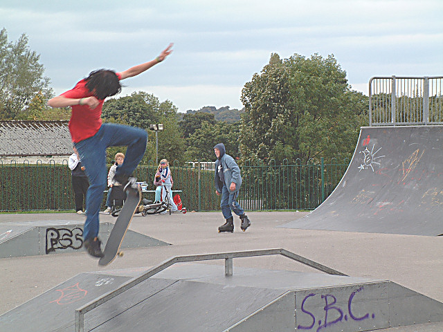
Skate Culture - geograph.org.uk - 63289.jpg - GeographBot

Arch Lane Farm - geograph.org.uk - 86374.jpg - GeographBot

The Ghost of Bispham Hall ^ - geograph.org.uk - 66329.jpg - GeographBot

Boundary bridge between Windle and Rainford - geograph.org.uk - 86452.jpg - GeographBot

Bridge over the Wigan-St. Helens line - geograph.org.uk - 86475.jpg - GeographBot

Turners Fold - geograph.org.uk - 47008.jpg - GeographBot

Valentine's Farm - geograph.org.uk - 46476.jpg - GeographBot

Capped mine shaft, Pewfall - geograph.org.uk - 83812.jpg - GeographBot

Catchdale Moss House - geograph.org.uk - 83108.jpg - GeographBot

Dead end - geograph.org.uk - 83109.jpg - GeographBot

Former glassworks beside the restored New Double Locks of the Sankey Canal - geograph.org.uk - 80770.jpg - GeographBot

Full lock in Lock Street - geograph.org.uk - 80765.jpg - GeographBot

Antonio's - Billinge - geograph.org.uk - 107934.jpg - GeographBot
Hollin Hay Farm - geograph.org.uk - 86445.jpg - GeographBot

Junction of the A571 with the East Lancs Road (A580) - geograph.org.uk - 83830.jpg - GeographBot

Notice on capped shaft - geograph.org.uk - 83814.jpg - GeographBot

Old iron - geograph.org.uk - 86455.jpg - GeographBot

Junction of Rookery and Higher Lanes - geograph.org.uk - 98009.jpg - GeographBot

Pottery Farm - geograph.org.uk - 83112.jpg - GeographBot

Rainford by-pass junction - geograph.org.uk - 83116.jpg - GeographBot

Gorsey Brow - Billinge - geograph.org.uk - 107950.jpg - GeographBot

Mill House Farm - geograph.org.uk - 98007.jpg - GeographBot

Slip road off the M6 onto the A58 - geograph.org.uk - 83816.jpg - GeographBot

Labour In Vain^ - geograph.org.uk - 107959.jpg - GeographBot

Main Street - Billinge - geograph.org.uk - 107965.jpg - GeographBot

Mill Lane Bridge, over Rainford Brook - geograph.org.uk - 104578.jpg - GeographBot

Weathercock Hill Farm - geograph.org.uk - 86481.jpg - GeographBot

Wigan-St. Helens Railway near Hollin Hay Farm - geograph.org.uk - 86444.jpg - GeographBot

Cronton Lane - geograph.org.uk - 113205.jpg - GeographBot

Squires Bar - Billinge - geograph.org.uk - 107921.jpg - GeographBot

Village View - Billinge - geograph.org.uk - 107945.jpg - GeographBot

Catchdale Moss Lane, Prescot - geograph.org.uk - 127907.jpg - GeographBot

Farmland around Hollin Hay House - geograph.org.uk - 120526.jpg - GeographBot

Kiln Lane, Windleshaw - geograph.org.uk - 127948.jpg - GeographBot

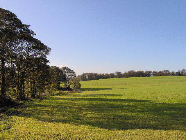
Farmland near Eccleston - geograph.org.uk - 131511.jpg - GeographBot

Prescot Road, St Helens - geograph.org.uk - 123869.jpg - GeographBot

Tan Yard House and derelict barn, Chadwick Green - geograph.org.uk - 120548.jpg - GeographBot

The Griffin Inn, Eccleston - geograph.org.uk - 123889.jpg - GeographBot

The Seven Stars, Millbrook Lane, Eccleston - geograph.org.uk - 127927.jpg - GeographBot

The Stanley Arms, Gillar's Lane, Prescot - geograph.org.uk - 127901.jpg - GeographBot

Reed's Moss - geograph.org.uk - 137703.jpg - GeographBot

Wet and windy - geograph.org.uk - 137704.jpg - GeographBot

Hall Lane bridge over the M62 - geograph.org.uk - 113189.jpg - GeographBot

Nutgrove Road, Nutgrove, St Helens - geograph.org.uk - 115701.jpg - GeographBot

Abandoned Farmhouse at Promised Land - geograph.org.uk - 171805.jpg - GeographBot

Footpath at Brownlow - geograph.org.uk - 171827.jpg - GeographBot

"South Block", Cowley Hill Lane - geograph.org.uk - 231842.jpg - GeographBot

Scafell Road, along the old railway line. - geograph.org.uk - 228119.jpg - GeographBot

ApproachingSt Helens.jpg - Angusmclellan

St Helens 07.07R edited-2.jpg - RuthAS

Cottage on Prescot Road, Portico - geograph.org.uk - 280253.jpg - GeographBot

Window, St Helens - geograph.org.uk - 280247.jpg - GeographBot

Claughton Street, St.Helens - geograph.org.uk - 292577.jpg - GeographBot

Cronton Wood - geograph.org.uk - 291610.jpg - GeographBot

Sherdley Park Gardens, St.Helens - geograph.org.uk - 290443.jpg - GeographBot
Sherdley Park Gardens - geograph.org.uk - 290449.jpg - GeographBot

Sherdley Park Gardens St.Helens - geograph.org.uk - 290436.jpg - GeographBot

St Julie's, Howard's Lane, Eccleston - geograph.org.uk - 298720.jpg - GeographBot

Taunton Avenue, Sutton Leach, St.Helens - geograph.org.uk - 291487.jpg - GeographBot
Taunton Avenue, Sutton Leach, St.Helens - geograph.org.uk - 291491.jpg - GeographBot

The Abbey, Hard Lane, Denton's Green - geograph.org.uk - 298711.jpg - GeographBot

The St.Helens Show Held Annually At Sherdley Park - geograph.org.uk - 293083.jpg - GeographBot

The St. Helens Show held annually at Sherdley Park - geograph.org.uk - 290480.jpg - GeographBot

Unnamed Brook in Cronton Wood - geograph.org.uk - 292489.jpg - GeographBot

Wyevale Garden Centre - geograph.org.uk - 299884.jpg - GeographBot

The Carr and Stanley Canal - geograph.org.uk - 334646.jpg - GeographBot

The New Double Locks from the top - geograph.org.uk - 334665.jpg - GeographBot

Bottle and Glass,near Rainford - geograph.org.uk - 364756.jpg - GeographBot
St Helens Photo Montage.jpg - File Upload Bot (Magnus Manske)

St Helens A back street in the Peasley Cross area 2020815 30b0fab5.jpg - Belaro

Farmland near Eccleston - geograph.org.uk - 388863.jpg - GeographBot

Looking toward Knowsley Park - geograph.org.uk - 388860.jpg - GeographBot

Cottage on Prescot Road, Portico - geograph.org.uk - 401370.jpg - GeographBot
Junction of Burrow's Lane with Gillars Lane - geograph.org.uk - 401341.jpg - GeographBot

Leg O' Mutton Dam - geograph.org.uk - 401355.jpg - GeographBot

St Helens Crematorium - geograph.org.uk - 403810.jpg - GeographBot

St Helens Crematorium - geograph.org.uk - 403812.jpg - GeographBot

The Grapes on Prescot Road, Eccleston - geograph.org.uk - 401387.jpg - GeographBot

Track to Mere View Farm, Eccleston - geograph.org.uk - 401336.jpg - GeographBot

The Sportsman's Bar, Ruskin Drive Leisure Centre - geograph.org.uk - 419073.jpg - GeographBot

Woody knoll west of Garswood - geograph.org.uk - 417111.jpg - GeographBot

Barton Clough - geograph.org.uk - 436328.jpg - GeographBot

Tatlock's Hillock - geograph.org.uk - 436322.jpg - GeographBot

A giant leap - geograph.org.uk - 444879.jpg - GeographBot

Bullrushes at Eccleston Mere - geograph.org.uk - 449916.jpg - GeographBot
Eccleston Hall - geograph.org.uk - 444767.jpg - GeographBot

St.Julie's RC. Church, Howards Lane, Eccleston - geograph.org.uk - 444353.jpg - GeographBot

St.Vincent's RC. Church, Derbyshire Hill Rd. St.Helens - geograph.org.uk - 449853.jpg - GeographBot

Billinge Plantation - geograph.org.uk - 457298.jpg - GeographBot

Clubhouse, Houghwood Golf Course - geograph.org.uk - 457305.jpg - GeographBot

Plane Tree Farm from Billinge Hill - geograph.org.uk - 457300.jpg - GeographBot

Sunset on Grandad's Bridge, Eccleston Mere - geograph.org.uk - 450949.jpg - GeographBot

A wood pigeon - geograph.org.uk - 461228.jpg - GeographBot

Quiet for a Saturday - geograph.org.uk - 461219.jpg - GeographBot

Ski Slopes, Taylor Park, St. Helens - geograph.org.uk - 470453.jpg - GeographBot

Coleridge Avenue, St Helens - geograph.org.uk - 486097.jpg - GeographBot

BOC Tradequip, St Helens - geograph.org.uk - 499391.jpg - GeographBot

Clinkham Wood Community Woodland - geograph.org.uk - 499378.jpg - GeographBot

Gatehouses, St. Helens Cemetery - geograph.org.uk - 499397.jpg - GeographBot

Moss Bank Library and Centre - geograph.org.uk - 499376.jpg - GeographBot

Nature Trail, Clinkham Wood - geograph.org.uk - 499383.jpg - GeographBot

Sutton Village Church - geograph.org.uk - 492834.jpg - GeographBot

The Turks Head - geograph.org.uk - 492841.jpg - GeographBot
Beneath the Rainbows - geograph.org.uk - 513752.jpg - GeographBot

Grange Park Golf Club, Prescot Rd. St. Helens - geograph.org.uk - 519409.jpg - GeographBot

Pond, Sankey Valley - geograph.org.uk - 511039.jpg - GeographBot

Pill-Box and Bridge Support on Canal - geograph.org.uk - 534285.jpg - GeographBot

St Aidan Church, Billinge, Grave - geograph.org.uk - 574286.jpg - GeographBot

Sunset from Garswood - geograph.org.uk - 577119.jpg - GeographBot

Peasley Cross Road - geograph.org.uk - 603665.jpg - GeographBot

St Helen's College - geograph.org.uk - 603572.jpg - GeographBot

St Helen's College - geograph.org.uk - 603579.jpg - GeographBot

Tesco's, Chalon Way - geograph.org.uk - 603614.jpg - GeographBot

Billinge Hill from White House Lane - geograph.org.uk - 715959.jpg - GeographBot

Blue Hill Tip - geograph.org.uk - 735168.jpg - GeographBot

Brown Heath House - geograph.org.uk - 735126.jpg - GeographBot

Farmhouse on Garswood Road - geograph.org.uk - 735186.jpg - GeographBot

Footbridge on The Goyt - geograph.org.uk - 735115.jpg - GeographBot

Hedgerow off Rainford Road, Billinge - geograph.org.uk - 737903.jpg - GeographBot

Path on disused Railway Embankment - geograph.org.uk - 735183.jpg - GeographBot

Path to Carr Mill from the "Blue Hills" - geograph.org.uk - 735172.jpg - GeographBot

Woodland along Carr Mill Dam - geograph.org.uk - 737914.jpg - GeographBot

Footbridge in Barton Clough - geograph.org.uk - 754692.jpg - GeographBot

Footbridge with Fallen Tree - geograph.org.uk - 754700.jpg - GeographBot

Gerard Arms, Dentons Green Lane - geograph.org.uk - 757544.jpg - GeographBot

Junction of the A571 and the A580 - geograph.org.uk - 757656.jpg - GeographBot

Ash Grove Farm - geograph.org.uk - 784576.jpg - GeographBot

Track to Brook House Farm - geograph.org.uk - 803205.jpg - GeographBot

Gores Farm - geograph.org.uk - 867617.jpg - GeographBot

Websters Mill Lane Farm - geograph.org.uk - 869456.jpg - GeographBot

Greenfield House - geograph.org.uk - 876405.jpg - GeographBot

Hollin Hey Farm - geograph.org.uk - 874782.jpg - GeographBot

Old Garswood Road - geograph.org.uk - 874808.jpg - GeographBot

Abandoned industrial site - geograph.org.uk - 904242.jpg - GeographBot

Railway line near St Helens - geograph.org.uk - 904258.jpg - GeographBot

Grange Park Golf Club - geograph.org.uk - 921368.jpg - GeographBot
Ready or not^ - geograph.org.uk - 920070.jpg - GeographBot

Dagnal's Bridge - geograph.org.uk - 990062.jpg - GeographBot

Rainford Brook - geograph.org.uk - 990044.jpg - GeographBot

Grant Close, St Helens - geograph.org.uk - 1011941.jpg - GeographBot

Hope Street, St Helens - geograph.org.uk - 1011943.jpg - GeographBot

Peter Street Centre, St Helens - geograph.org.uk - 1011942.jpg - GeographBot

Cambourne Avenue, Laffak, Carr Mill approx 1980 - geograph.org.uk - 1026773.jpg - GeographBot

Cambourne Avenue, Laffak, Carr Mill approx 1980 - geograph.org.uk - 1026776.jpg - GeographBot

A little brook - geograph.org.uk - 1053140.jpg - GeographBot

A slippy approach - geograph.org.uk - 1053130.jpg - GeographBot

All set for the winter - geograph.org.uk - 1053163.jpg - GeographBot

A frosty windscreen - geograph.org.uk - 1068491.jpg - GeographBot

Billinge Street Scene - geograph.org.uk - 1072393.jpg - GeographBot

Black Brook - geograph.org.uk - 1071031.jpg - GeographBot

Sankey Valley Park - geograph.org.uk - 1071094.jpg - Geograph Update Bot

The path under the East Lancashire Road - geograph.org.uk - 1071016.jpg - GeographBot

Hedgerow and field behind Birchley Hall - geograph.org.uk - 1119998.jpg - GeographBot
Linkway Distribution Park (Suttons Transport) - geograph.org.uk - 1169421.jpg - GeographBot

Losing the light - geograph.org.uk - 1183083.jpg - GeographBot

The Blue Hills - geograph.org.uk - 1182767.jpg - GeographBot

The path North - geograph.org.uk - 1182898.jpg - GeographBot

The path towards Chadwick Green - geograph.org.uk - 1183149.jpg - GeographBot

Sutton Brook Greenway - geograph.org.uk - 1208268.jpg - GeographBot

The East Lancashire Road - geograph.org.uk - 1223378.jpg - GeographBot

Mini-roundabout at the junction of the B5205 and the A571 - geograph.org.uk - 1235086.jpg - GeographBot

The Big Dam at Taylor Park - geograph.org.uk - 1249075.jpg - GeographBot

The north end of the Big Dam - geograph.org.uk - 1249079.jpg - GeographBot

Colliery Gates, a reminder of the past. - geograph.org.uk - 1273806.jpg - GeographBot

Colliery Gates - geograph.org.uk - 1272555.jpg - GeographBot

Farm at Moss Bank - geograph.org.uk - 1314444.jpg - GeographBot

A footpath at Carr Mill Dam - geograph.org.uk - 1406892.jpg - GeographBot

Big Water, Halsnead Park - geograph.org.uk - 1409877.jpg - GeographBot
Big Water, Halsnead Park - geograph.org.uk - 1409878.jpg - GeographBot

Blundell's Hill - geograph.org.uk - 1407348.jpg - GeographBot

Carr Mill Dam above the bridge - geograph.org.uk - 1406860.jpg - GeographBot

Halsnead Caravan Park - geograph.org.uk - 1409885.jpg - GeographBot

Halsnead Park - geograph.org.uk - 1409883.jpg - GeographBot

A new driving range under construction - geograph.org.uk - 1416960.jpg - GeographBot
Eccleston Top Dam - geograph.org.uk - 1413750.jpg - GeographBot

Albert Street - geograph.org.uk - 1427166.jpg - GeographBot

No more pies - geograph.org.uk - 1427123.jpg - GeographBot

Ford Showroom Closed Down - geograph.org.uk - 1438794.jpg - GeographBot

Stanley Park Way junction - geograph.org.uk - 1440797.jpg - GeographBot

Abandoned St. Helens Junction railway - geograph.org.uk - 1456463.jpg - GeographBot
Billinge Beacon and Trig Point - geograph.org.uk - 1456497.jpg - GeographBot

Corporation Road crosses site of Sankey Canal - geograph.org.uk - 1456467.jpg - GeographBot
Looking Out From Sutton Manor - geograph.org.uk - 1464400.jpg - GeographBot

Lagrange Arcade, St Helens - geograph.org.uk - 1485087.jpg - GeographBot

Wild geese after sunset - geograph.org.uk - 1484937.jpg - GeographBot

In Memoriam, Salford Royal Hospital - geograph.org.uk - 1494223.jpg - GeographBot

Alder Lane - geograph.org.uk - 1506533.jpg - GeographBot

The hill up to Fairfield hospital - geograph.org.uk - 1506499.jpg - GeographBot

Embankment for the bridge carrying the A570 St Helens Linkway over the railway - geograph.org.uk - 1527285.jpg - GeographBot

Alexandra Business Park - geograph.org.uk - 1533656.jpg - GeographBot

Brick Kiln - geograph.org.uk - 1533631.jpg - GeographBot

Factory Chimneys - geograph.org.uk - 1533643.jpg - GeographBot

Liverpool St Helens Rugby Club - geograph.org.uk - 1533526.jpg - GeographBot

Moss Bank - geograph.org.uk - 1534982.jpg - GeographBot

St.Helens centre - geograph.org.uk - 1533586.jpg - GeographBot

St. Helens Gasometer - geograph.org.uk - 1533547.jpg - GeographBot

St. Helens Linkway - geograph.org.uk - 1533597.jpg - GeographBot

Lievesleys Bakery since 1925 - geograph.org.uk - 1542212.jpg - GeographBot
Providence Free Hospital, Tolver Street St Helens - geograph.org.uk - 1542013.jpg - GeographBot

The Manchester and County Bank Building - geograph.org.uk - 1541807.jpg - GeographBot
Bold Power Station - geograph.org.uk - 1599935.jpg - GeographBot

Back to school for someone.... - geograph.org.uk - 1741166.jpg - GeographBot
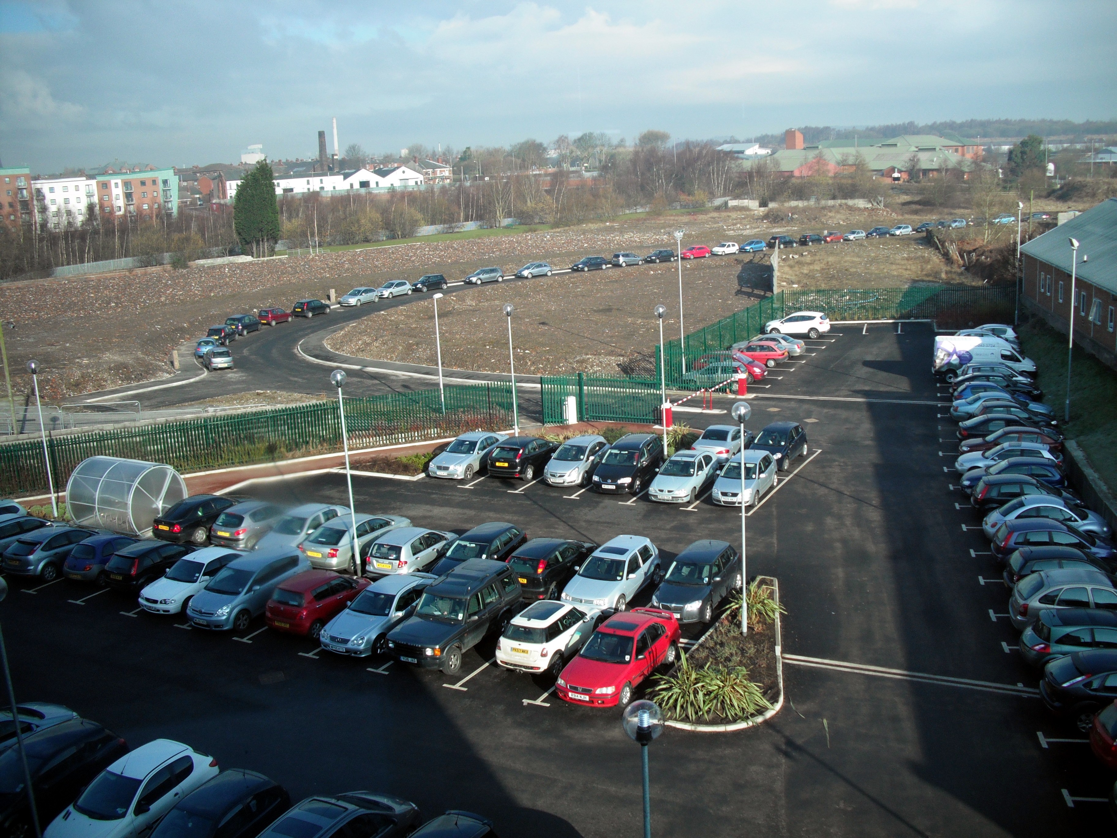
Endless parking, St.Helens - geograph.org.uk - 1743899.jpg - GeographBot
Jubits Lane rising up to cross the M62 motorway near Rainhill - geograph.org.uk - 1745149.jpg - GeographBot

Parr Street, St. Helens - geograph.org.uk - 1743893.jpg - GeographBot

Helena House, St Helens. - geograph.org.uk - 1759664.jpg - GeographBot

Apartment living comes to St Helens - geograph.org.uk - 1804744.jpg - GeographBot

Apartments, Shaw Street - geograph.org.uk - 1804758.jpg - GeographBot

Derelict trolley bus shelter on Moss Bank road - geograph.org.uk - 1800711.jpg - GeographBot

East Lancs Road crosses ex railway bridge - geograph.org.uk - 1800720.jpg - GeographBot

Westparkrugbyunion.jpg - File Upload Bot (Magnus Manske)
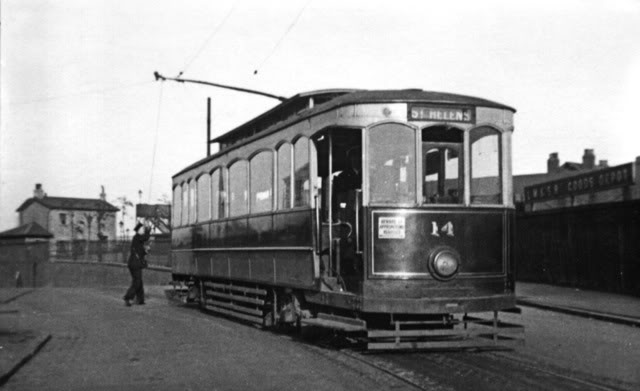
Sthelens&districttram2.jpg - File Upload Bot (Magnus Manske)

A stream in Ecclestone.JPG - File Upload Bot (Magnus Manske)

LSHFC-gates.jpg - File Upload Bot (Magnus Manske)

Church Street, St Helens, Merseyside 2009-12-09.JPG - Rept0n1x

Shaw Street, St Helens, Merseyside.JPG - Rept0n1x
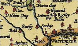
Lancaster1610 - St Helins Region.png - Rahulmothiya

Railway Ormskirk Skelm St Helens 1911 edited-4.jpg - RuthAS

Church Street, St Helens (1).jpg - Rept0n1x

The Millennium Centre, St Helens, Merseyside.jpg - Rept0n1x

Borough Road, St Helens (1).JPG - Rept0n1x

Borough Road, St Helens (2).JPG - Rept0n1x

Borough Road, St Helens (3).JPG - Rept0n1x

Borough Road, St Helens (4).JPG - Rept0n1x

Bridge Street, St Helens.JPG - Rept0n1x

Church Street viewed from Bridge Street, St Helens.jpg - Rept0n1x

Church Street, St Helens.JPG - Rept0n1x

Conservative club, St Helens.JPG - Rept0n1x

Disused Building, Banner Street, St Helens (1).JPG - Rept0n1x

Disused Building, Banner Street, St Helens (2).JPG - Rept0n1x

Disused shop, Thompson Street, St Helens.JPG - Rept0n1x

Glover Street, St Helens.JPG - Rept0n1x

Multiplex Cinema, St Helens.JPG - Rept0n1x

Peasley Cross Hospital, St Helens (1).JPG - Rept0n1x

Peasley Cross Hospital, St Helens (2).JPG - Rept0n1x

Peasley Cross Lane, St Helens (1).JPG - Rept0n1x

Peasley Cross Lane, St Helens (2).JPG - Rept0n1x

Peasley Cross Lane, St Helens (3).JPG - Rept0n1x

Peasley Cross Lane, St Helens (4).JPG - Rept0n1x

Railway bridges over Robins Lane, St Helens.JPG - Rept0n1x

Robins Lane Post Office, St Helens.JPG - Rept0n1x

Royal Mail, Liverpool Road, St Helens (1).JPG - Rept0n1x

Royal Mail, Liverpool Road, St Helens (2).JPG - Rept0n1x

Sandfield Medical Centre, St Helens.JPG - Rept0n1x

Shaw Street, St Helens (1).JPG - Rept0n1x

St Helens College from viewed from Liverpool Road (2).JPG - Rept0n1x

St Helens College from viewed from Liverpool Road (3).JPG - Rept0n1x

St Helens College, viewed from Liverpool Road.JPG - Rept0n1x

St Helens Hospital, Merseyside (1).JPG - Rept0n1x

St Helens Hospital, Merseyside (2).JPG - Rept0n1x

St Helens Hospital, Merseyside (3).JPG - Rept0n1x

St Helens Retail Park (1).JPG - Rept0n1x

St Lukes Court, Liverpool Road, St Helens.JPG - Rept0n1x
Sutton Park, St Helens (1).JPG - Rept0n1x

Sutton Park, St Helens (2).JPG - Rept0n1x

Sutton Park, St Helens (3).JPG - Rept0n1x
Sutton Park, St Helens (4).JPG - Rept0n1x

Sutton Park, St Helens (5).JPG - Rept0n1x

Sutton police station, St Helens.JPG - Rept0n1x

The Spinney Medical Centre, Thatto Heath.JPG - Rept0n1x

The view from somewhere (308024719).jpg - File Upload Bot (Magnus Manske)

St Helens Register Office (2).JPG - Rept0n1x

St Helens Register Office (1).JPG - Rept0n1x

View of fields from Martindale Road, St Helens.JPG - Rept0n1x

House and Pylon, Carr Mill Road, St Helens.JPG - Rept0n1x

Abandoned filling station, Carr Mill Road, St Helens.JPG - Rept0n1x

Haresfinch A.R.L.F.C., St Helens.JPG - Rept0n1x

Railway bridge over Haresfinch Road, St Helens.JPG - Rept0n1x

Gerards Park, St Helens, under construction.JPG - Rept0n1x

Folly, Victoria Park, St Helens.jpg - Peter I. Vardy

Le Chateau, St Helens.jpg - Peter I. Vardy

Gates to Ashton-in-Makerfield Golf Club.jpg - Peter I. Vardy

SherdleyOldHall-builtin1671.jpg - Hogweard

BRADSHAW(1854) p141 UNION PLATE GLASS WORKS ST.HELENS.jpg - Metilsteiner

Merseyside 05 (13407496755).jpg - Ultra7

Merseyside 12 (13407610383).jpg - Ultra7

Mansion House rear, St Helens.jpg - Plucas58

Masonry detail of Bournes tunnel mouth (geograph 2006503).jpg - Plucas58

The Dream St Helens Merseyside - panoramio.jpg - Panoramio upload bot

The Wheatsheaf Pub - panoramio.jpg - Panoramio upload bot
St Helens, Saint Helens, UK - panoramio.jpg - Panoramio upload bot

St Helens, Mill Street Barracks, from east - geograph.org.uk - 3866030.jpg - Geograph Update Bot

Ordnance Survey One-Inch Sheet 100 Liverpool, Published 1966.jpg - Kognos
Ordnance Survey One-Inch Sheet 100 Liverpool, Published 1947.jpg - Kognos

Royal Visit by George V to Widnes 7 July 1913.jpg - Pennine rambler

Aerial view of St Helens, Merseyside.jpg - Harvey Milligan

Parkside Area near Newton-le-Willows, St Helens, England.svg - Nempnet

Dahlia, Minley Carol, Ponpom.jpg - Tomepcooke21

Windle Boundary Stone.jpg - 24may1819

Tecnobus.jpg - Kk70088

Darkness On The Edge Of Town.jpg - Oxyman

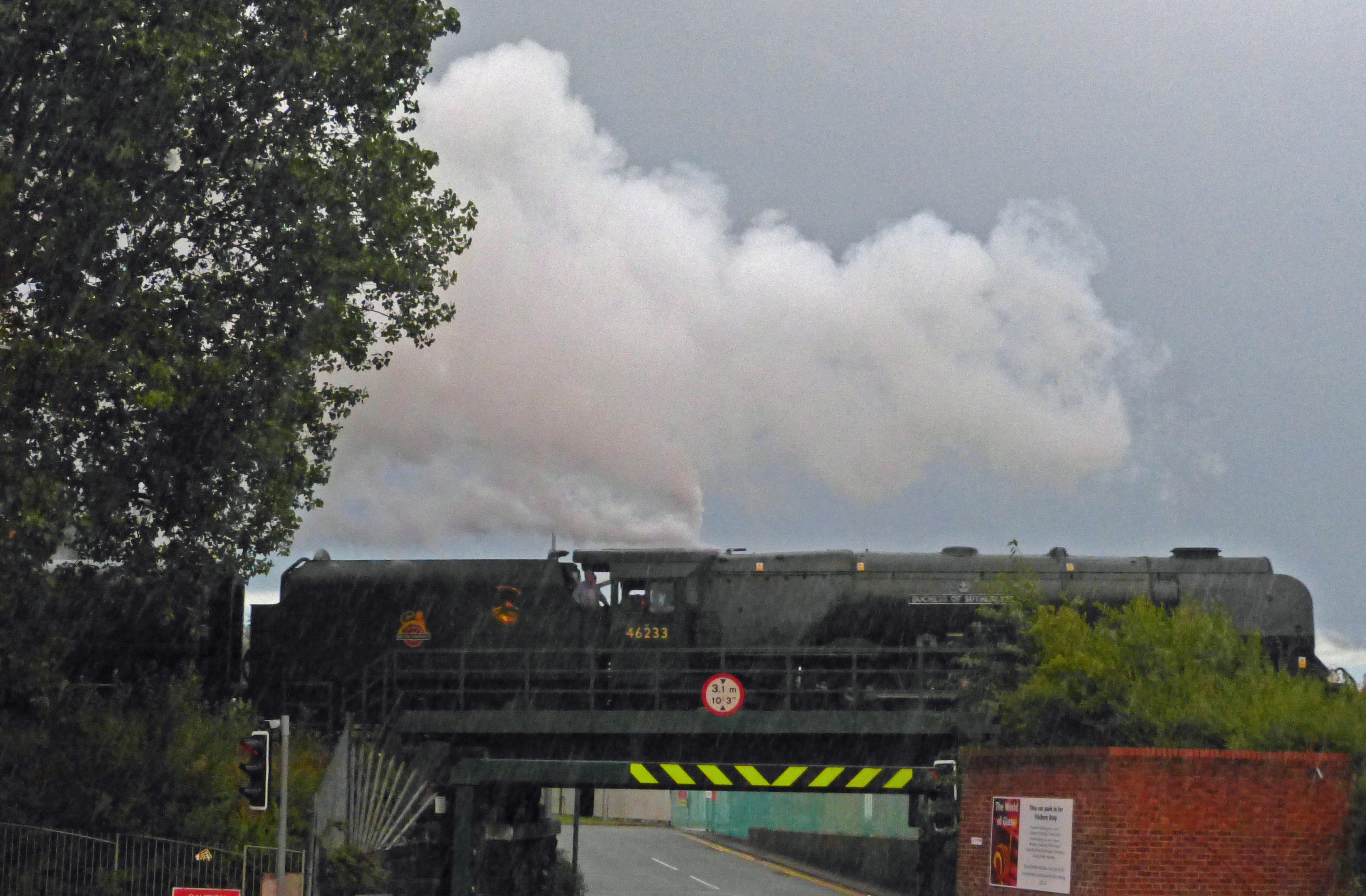
Here Comes The (T)Rain Again.jpg - Oxyman
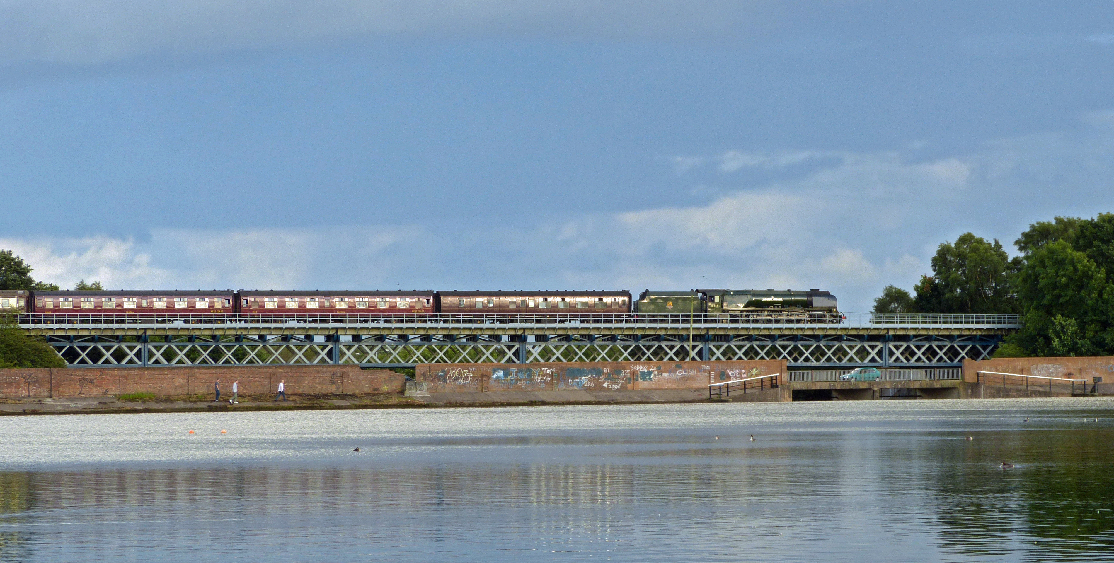
The Duchess At Carr Mill.jpg - Oxyman
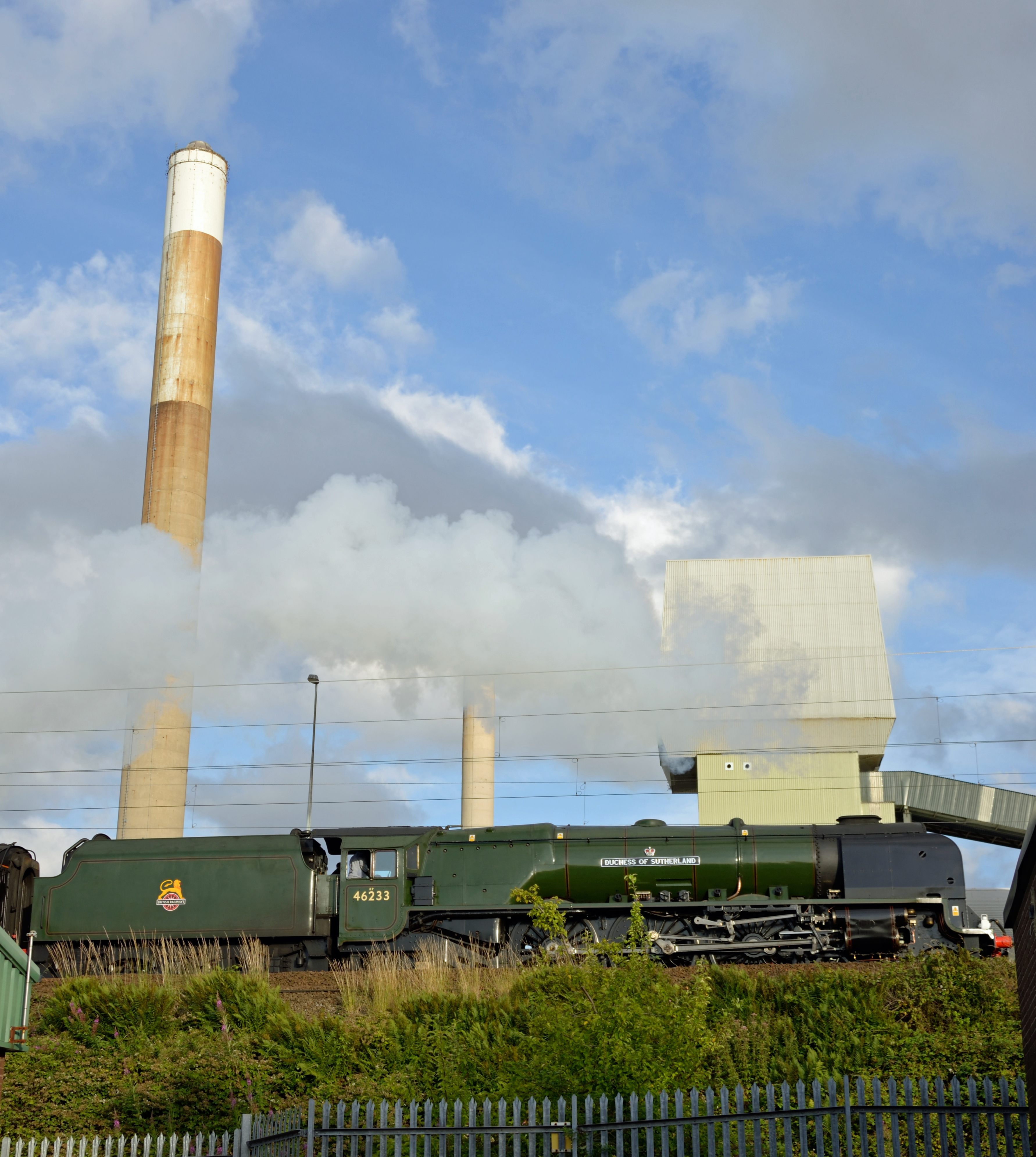
46233 Duchess Of Sutherland pulling the Cumbrian Mountain Express.jpg - Oxyman

Gone Spottin'.jpg - Oxyman

Greengate Duchess.jpg - Oxyman
A Tight Squeeze.jpg - Oxyman

Red Rocks, Eccleston Hill - geograph.org.uk - 3545675.jpg - GeographBot

Lowe House Health Centre - geograph.org.uk - 3576525.jpg - GeographBot

Former Oxford Cinema, Duke Street - geograph.org.uk - 3576608.jpg - GeographBot

Steam Pump Truck for Firefighting StHelens1913.jpg - Koncorde

St Helens UK ward map 2022.svg - Into oblivion
Dorothy Catherine Draper 1890s.jpg - Jack1956

Outside St Helens Town Hall - geograph.org.uk - 5697471.jpg - GeographBot

St. Helens Central railway station - geograph.org.uk - 5837183.jpg - GeographBot

Prepare Your Workforce For Leaving The EU - geograph.org.uk - 6078041.jpg - GeographBot

Milk Street, St Helens Town Centre - geograph.org.uk - 6078043.jpg - GeographBot

The Hotties - geograph.org.uk - 6078047.jpg - GeographBot

The Hotties and the Old Glass Works - geograph.org.uk - 6078050.jpg - GeographBot

Old Bus on Bickerstaffe Street, St Helens - geograph.org.uk - 6078054.jpg - GeographBot

Marshall's Cross Road - geograph.org.uk - 6101708.jpg - GeographBot

St Helens, Morris Street - geograph.org.uk - 6101851.jpg - GeographBot

Baxters Lane Morrisons, St Helens - geograph.org.uk - 6101852.jpg - GeographBot

St Helens, Sutton Road - geograph.org.uk - 6101853.jpg - GeographBot

Peasley Cross URC - geograph.org.uk - 6101855.jpg - GeographBot

The Glass Horse - geograph.org.uk - 6103789.jpg - GeographBot

Pentagon Ford Dealership - geograph.org.uk - 6103793.jpg - GeographBot

St Helens, Canal Bank West - geograph.org.uk - 6120835.jpg - GeographBot

St Helens Canal, The Hotties - geograph.org.uk - 6120842.jpg - GeographBot

Tank House at site of former Crown Glass Works - geograph.org.uk - 6120849.jpg - GeographBot

Tank House Beside the Canal at the Crown Glass Works - geograph.org.uk - 6120964.jpg - GeographBot

St Thomas' Church, Eccleston - geograph.org.uk - 6120969.jpg - GeographBot

The Cricketers' Arms, Peter Street - geograph.org.uk - 6120972.jpg - GeographBot

Eccleston, St Thomas' Church - geograph.org.uk - 6120975.jpg - GeographBot

Queen Victoria Statue, Victoria Square - geograph.org.uk - 6120984.jpg - GeographBot

Prudential Buildings, Victoria Square - geograph.org.uk - 6120994.jpg - GeographBot

St Helens War Memorial Cenotaph - geograph.org.uk - 6120997.jpg - GeographBot

St Helens War Memorial (detail) - geograph.org.uk - 6121000.jpg - GeographBot

Holy Trinity Church, Parr Mount - geograph.org.uk - 6121372.jpg - GeographBot

Church of the Holy Trinity, Parr Mount - geograph.org.uk - 6121407.jpg - GeographBot

Last Orders - Finger Post Hotel - geograph.org.uk - 6121415.jpg - GeographBot

Glacial Erratic - geograph.org.uk - 6143733.jpg - GeographBot
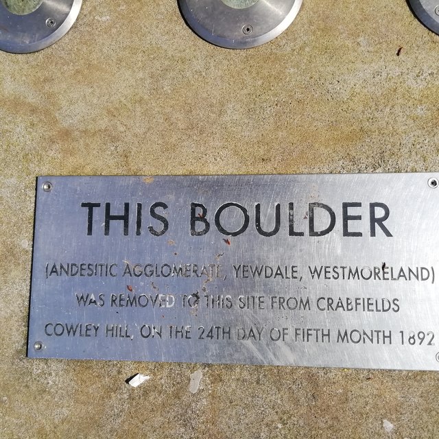
Inscription on Glacial Erratic - geograph.org.uk - 6143734.jpg - GeographBot

Public Artwork - geograph.org.uk - 6143736.jpg - GeographBot

Thumbnail IMG 1194.jpg - Harvey Milligan

Thumbnail IMG 1197.jpg - Harvey Milligan

Thumbnail IMG 1193.jpg - Harvey Milligan

Thumbnail IMG 1195.jpg - Harvey Milligan

Zodiac Clock Ormskirk Street - geograph.org.uk - 6391488.jpg - GeographBot

St. Helens R.F.C. Stadium - geograph.org.uk - 6759313.jpg - GeographBot

Entrance to Saints Retail Park - geograph.org.uk - 6759315.jpg - GeographBot

Corporation Street, St. Helens - geograph.org.uk - 7054641.jpg - GeographBot

Westfield Street, St. Helens - geograph.org.uk - 7054643.jpg - GeographBot

Barber's shop, George Street - geograph.org.uk - 7325070.jpg - GeographBot