Wikimedi'Òc
Modes d'emploi

Cet album fait partie des albums
Cet album photos contient les sous-albums suivants :


Wind turbine on Napp's Moor - geograph.org.uk - 7733563.jpg - GeographBot

Basill Manor near St Clether - geograph.org.uk - 936135.jpg - File Upload Bot (Magnus Manske)

St Clether, Tregulland - geograph.org.uk - 67236.jpg - GeographBot

Cold Northcott wind farm - geograph.org.uk - 437320.jpg - Bjh21

Cold Northcott wind farm junk - geograph.org.uk - 437324.jpg - GeographBot

Field near Treboy Farm - geograph.org.uk - 699968.jpg - GeographBot

Lane to St Cleher - geograph.org.uk - 699967.jpg - GeographBot

Penpont Water valley - geograph.org.uk - 699934.jpg - GeographBot

Field above the Inny - geograph.org.uk - 731008.jpg - GeographBot

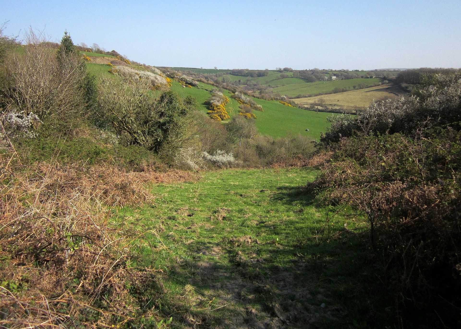
Inny valley - geograph.org.uk - 730987.jpg - GeographBot

Shallow valley, looking towards Sancreed - geograph.org.uk - 731062.jpg - GeographBot

Stone cross nr St Clether - geograph.org.uk - 2002531.jpg - GeographBot

Trevillian's Gate - geograph.org.uk - 2006360.jpg - GeographBot

Crossroads near Tregonger - geograph.org.uk - 2015421.jpg - GeographBot

Ancient roadside cross near Treboy Farm - geograph.org.uk - 2015459.jpg - GeographBot

Basil Farm - geograph.org.uk - 2015472.jpg - GeographBot

Pasture at Basil Farm - geograph.org.uk - 2015480.jpg - GeographBot

The River Inny at St Clether - geograph.org.uk - 2015496.jpg - GeographBot

Pasture at Treboy Farm - geograph.org.uk - 2015559.jpg - GeographBot

Bend in the road near New Park Farm - geograph.org.uk - 2015766.jpg - GeographBot

Boundary stone at the crossroads - geograph.org.uk - 2015788.jpg - GeographBot

Napp's Moor wind farm - geograph.org.uk - 2017030.jpg - GeographBot

New Park Farm tumulus - geograph.org.uk - 2029596.jpg - GeographBot

Bridleway to New Park Farm - geograph.org.uk - 2029599.jpg - GeographBot

Pennydevern farm - geograph.org.uk - 2029604.jpg - GeographBot

The track to Pennydevern - geograph.org.uk - 2029607.jpg - GeographBot

Bridleway between Oldpark and New Park farms - geograph.org.uk - 2029610.jpg - GeographBot
The bridleway near Oldpark farm - geograph.org.uk - 2029611.jpg - GeographBot

Oldpark farm buildings - geograph.org.uk - 2029614.jpg - GeographBot

Hydro-electric generator at Basil Manor. - geograph.org.uk - 2067620.jpg - GeographBot

The A395 at Napp's Moor - geograph.org.uk - 3527308.jpg - GeographBot

The A395 at Napp's Moor - geograph.org.uk - 3527319.jpg - GeographBot

The A395 towards Cold Northcott - geograph.org.uk - 3527327.jpg - GeographBot

The A395 towards Cold Northcott - geograph.org.uk - 3527335.jpg - GeographBot

The A395 at Cold Northcott - geograph.org.uk - 3527362.jpg - GeographBot

The A395 at Cold Northcott Farm - geograph.org.uk - 3527368.jpg - GeographBot

Two blade wind turbines at rest at Cold Northcott - geograph.org.uk - 3556610.jpg - GeographBot

Path from church to holy well - geograph.org.uk - 3809688.jpg - GeographBot
Path from church to holy well - geograph.org.uk - 3809691.jpg - GeographBot

Path from church to holy well - geograph.org.uk - 3809694.jpg - GeographBot

View into the valley - geograph.org.uk - 3809734.jpg - GeographBot

View along the path - geograph.org.uk - 3809735.jpg - GeographBot
Path from church to holy well - geograph.org.uk - 3809742.jpg - GeographBot

St Clether - geograph.org.uk - 3813742.jpg - GeographBot

St Clether - geograph.org.uk - 3813747.jpg - GeographBot

St Clether - geograph.org.uk - 3813756.jpg - GeographBot

St Clether - geograph.org.uk - 3813759.jpg - GeographBot

St Clether - geograph.org.uk - 3813762.jpg - GeographBot

Phone mast and wind turbines near Cold Northcott - geograph.org.uk - 4187114.jpg - GeographBot

Lay-by on A395 near Cold Northcott (1) - geograph.org.uk - 4187117.jpg - GeographBot

Lay-by on A395 near Cold Northcott (2) - geograph.org.uk - 4187119.jpg - GeographBot

View through gateway on track N from Oldpark, Davidstow Moor - geograph.org.uk - 4285146.jpg - GeographBot

Inny valley below St Clether - geograph.org.uk - 4439227.jpg - GeographBot

Lane to Tregulland - geograph.org.uk - 4439241.jpg - GeographBot

Pasture near Trefranck - geograph.org.uk - 4439251.jpg - GeographBot

Lane at St Clether - geograph.org.uk - 4449158.jpg - GeographBot

Laneside stream, St Clether - geograph.org.uk - 4449168.jpg - GeographBot

The Old Vicarage, St Clether - geograph.org.uk - 4449178.jpg - GeographBot

Lane at St Clether - geograph.org.uk - 4449202.jpg - GeographBot

Field path to Treween - geograph.org.uk - 4449218.jpg - GeographBot

Path near St Clether - geograph.org.uk - 4449232.jpg - GeographBot

Polgray - geograph.org.uk - 4449272.jpg - GeographBot

Hillside near St Clether - geograph.org.uk - 4449280.jpg - GeographBot

Inny near Tregulland - geograph.org.uk - 4449303.jpg - GeographBot

Footpath to St Clether - geograph.org.uk - 4449335.jpg - GeographBot

Junction near Tregulland - geograph.org.uk - 4449343.jpg - GeographBot

Inny valley near Tregulland - geograph.org.uk - 4449352.jpg - GeographBot

Bridge over the Inny - geograph.org.uk - 4449366.jpg - GeographBot

Lane to Cold Northcott - geograph.org.uk - 4449377.jpg - GeographBot

Approaching Trefranck - geograph.org.uk - 4449390.jpg - GeographBot

Sheep near Cold Northcott - geograph.org.uk - 4449404.jpg - GeographBot

Lane to Cold Northcott - geograph.org.uk - 4449424.jpg - GeographBot

A395 at Cold Northcott Wind Farm - geograph.org.uk - 4449435.jpg - GeographBot

A395 at Cold Northcott Wind Farm - geograph.org.uk - 4449449.jpg - GeographBot

Field near Cold Northcott - geograph.org.uk - 4449468.jpg - GeographBot

Cold Northcott Wind Farm - geograph.org.uk - 4449538.jpg - GeographBot
Access land by Cold Northcott Wind Farm - geograph.org.uk - 4449547.jpg - GeographBot

Access land by the A395 - geograph.org.uk - 4449559.jpg - GeographBot
Path near St Clether - geograph.org.uk - 4704121.jpg - GeographBot

Lane to St Clether - geograph.org.uk - 4704139.jpg - GeographBot

Hillside, Tregulland - geograph.org.uk - 4704164.jpg - GeographBot

Lane to Tregulland - geograph.org.uk - 4704169.jpg - GeographBot

A395 at Cold Northcott Wind Farm - geograph.org.uk - 4704233.jpg - GeographBot

Derelict building at New Park Farm - geograph.org.uk - 5511988.jpg - GeographBot

Old Milestone by the A395, west of Sweetwell - geograph.org.uk - 5623344.jpg - GeographBot

Lane past Treboy - geograph.org.uk - 5665537.jpg - GeographBot

Lane to Treboy - geograph.org.uk - 5665621.jpg - GeographBot

Cross near St Clether - geograph.org.uk - 5691416.jpg - GeographBot

Lane from Treboy Farm - geograph.org.uk - 5691425.jpg - GeographBot

Road north of Trevillian's Gate - geograph.org.uk - 5761657.jpg - GeographBot

Remains of cross near Newpark - geograph.org.uk - 5761658.jpg - GeographBot

The trees that shelter New Park Farm - geograph.org.uk - 5762530.jpg - GeographBot

Farm and field access at Higher Basil - geograph.org.uk - 5762531.jpg - GeographBot

Lone tree in the bank near West Bowithick - geograph.org.uk - 5762533.jpg - GeographBot
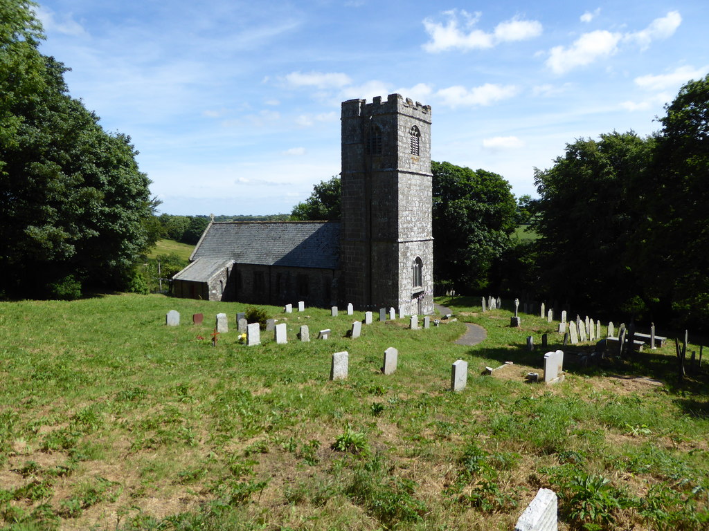
St Clether Church - geograph.org.uk - 5820173.jpg - GeographBot

Holy Well Chapel, St Clether - geograph.org.uk - 5820176.jpg - GeographBot

Lay-by on A395 east of Cold Northcott - geograph.org.uk - 6261616.jpg - GeographBot

Access track to Napp's Moor and the wind farm - geograph.org.uk - 6261624.jpg - GeographBot