Wikimedi'Òc
Modes d'emploi

Cet album fait partie des albums
Cet album photos contient les sous-albums suivants :


Witches Stone.jpg - Jimmydenham

Spott - geograph.org.uk - 72296.jpg - GeographBot

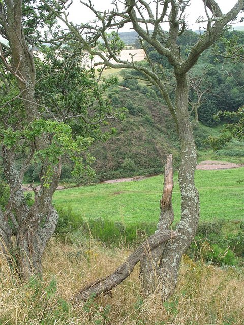
A cleugh under the Brunt. - geograph.org.uk - 103330.jpg - GeographBot

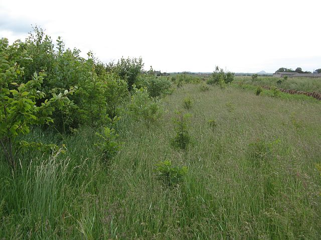
Field margin, Spott. - geograph.org.uk - 103324.jpg - GeographBot

Field margin. - geograph.org.uk - 103372.jpg - GeographBot

Little Spott. - geograph.org.uk - 103376.jpg - GeographBot

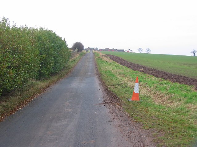
Road near Spott. - geograph.org.uk - 103362.jpg - GeographBot

Spott - geograph.org.uk - 103315.jpg - GeographBot

Spott - geograph.org.uk - 103318.jpg - GeographBot
Wester Broomhouse - geograph.org.uk - 103308.jpg - GeographBot

Spott Doocot - geograph.org.uk - 165216.jpg - GeographBot
The old A1, Eweford - geograph.org.uk - 467114.jpg - GeographBot

Depth marker - geograph.org.uk - 820699.jpg - GeographBot

Spott - the communication boxes - geograph.org.uk - 820676.jpg - GeographBot

Signpost , Spott - geograph.org.uk - 937500.jpg - GeographBot

The Dry Burn - geograph.org.uk - 937310.jpg - GeographBot

Barley field, Spott - geograph.org.uk - 947632.jpg - GeographBot
Dry Burn - geograph.org.uk - 947565.jpg - GeographBot
Afternoon sun - geograph.org.uk - 990368.jpg - GeographBot

Bennet's Burn Ford - geograph.org.uk - 1174123.jpg - GeographBot

The way to Doon near Spott - geograph.org.uk - 1220919.jpg - GeographBot

A broken road in the East Lothian hills - geograph.org.uk - 1477676.jpg - GeographBot

A cereal crop awaiting harvesting - geograph.org.uk - 1477814.jpg - GeographBot

A window of winter berries - geograph.org.uk - 1477849.jpg - GeographBot

Another crop awaiting harvest - geograph.org.uk - 1477934.jpg - GeographBot

Aikengall Wind Farm, Lammermuir Hills - geograph.org.uk - 1516377.jpg - GeographBot

Farmland on Doon Hill - geograph.org.uk - 1779961.jpg - GeographBot

Trees on Doon Hill - geograph.org.uk - 1777321.jpg - GeographBot

Rural East Lothian , Gateway and Gatehouse for Spott House - geograph.org.uk - 1885729.jpg - GeographBot

Spott Doocot - geograph.org.uk - 4847309.jpg - GeographBot

Direction Sign - Signpost in Spott (geograph 7822261).jpg - Sic19