Wikimedi'Òc
Modes d'emploi

Cet album fait partie des albums
Cet album photos contient les sous-albums suivants :


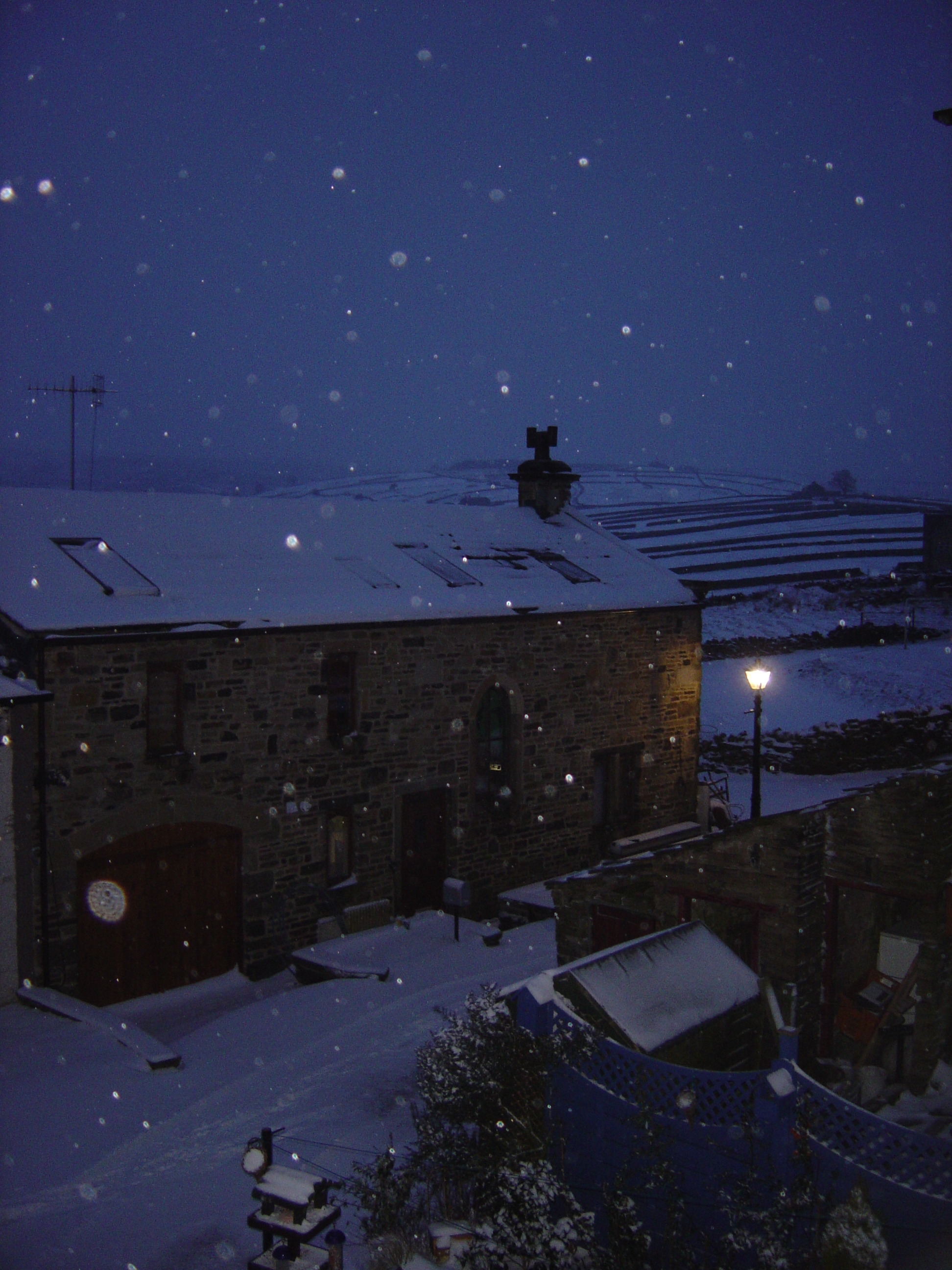
Stanbury Barn.JPG - SpaceMonkey~commonswiki
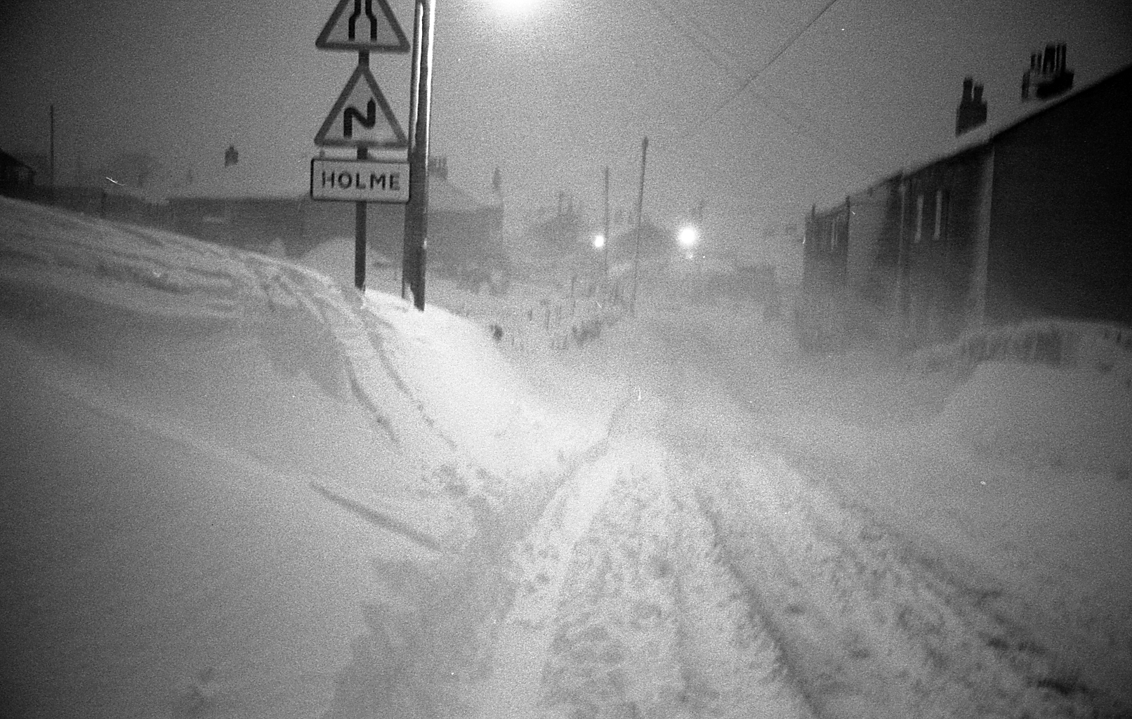
Holme, West Yorkshire, Winter 1978.jpg - Richard Harvey
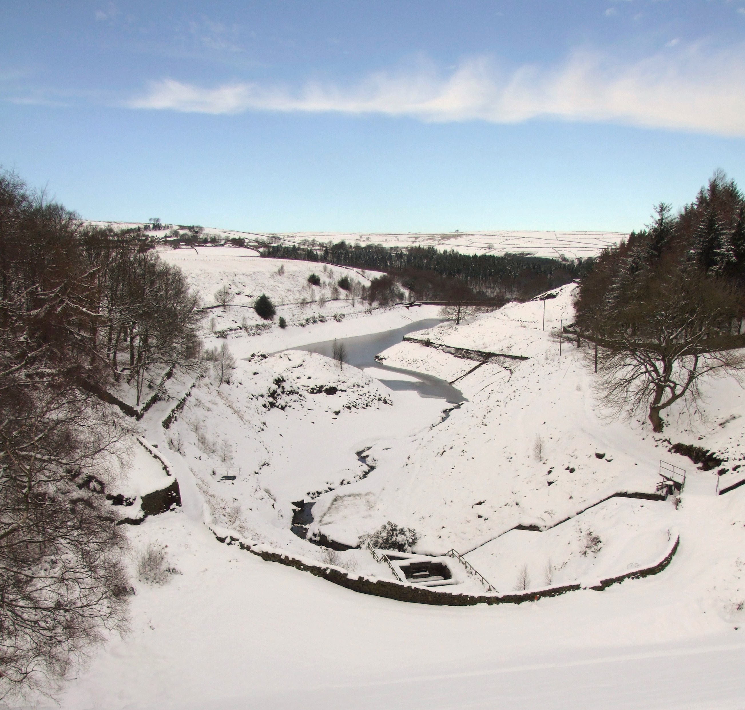
Ramsden Reservoir, Holme, West Yorkshire 2009-02-06(RLH).JPG - Richard Harvey

British Library Boston Spa in snow.JPG - MartinSpamer

Deep Nitch - geograph.org.uk - 63091.jpg - Andy king50

Lower Laithe Reservoir viewed from Penistone Hill - geograph.org.uk - 37197.jpg - GeographBot

Snow on Fartown, Pudsey - geograph.org.uk - 35361.jpg - GeographBot

Digging out^ - geograph.org.uk - 81947.jpg - GeographBot

Bridleway north of Old Road, Crimsworth Dean - geograph.org.uk - 102928.jpg - Geograph Update Bot

A winter wonderland on the Leeds Country Way , Pudsey. - geograph.org.uk - 134083.jpg - GeographBot
Black Dike Head - geograph.org.uk - 131694.jpg - GeographBot

Crossing Black Dike - geograph.org.uk - 131761.jpg - GeographBot

Goodbye Winter, Hello Spring - geograph.org.uk - 132046.jpg - GeographBot

Ramsden Road - geograph.org.uk - 138371.jpg - GeographBot

Cheviot Way, Upper Hopton - geograph.org.uk - 142623.jpg - GeographBot

Snowy fields at Ingfield Farm - geograph.org.uk - 137021.jpg - GeographBot

Start of the path up West Nab - geograph.org.uk - 131662.jpg - GeographBot

Footpath to Hollin Hall - geograph.org.uk - 142604.jpg - GeographBot

The bleak top of Black Hill near Black Dike Head - geograph.org.uk - 131699.jpg - GeographBot

Towards Issues Road - geograph.org.uk - 131687.jpg - GeographBot

Woodhall Road and Woodhall Avenue, Feb 79 - geograph.org.uk - 133712.jpg - GeographBot

Snowy fields, Upper Hopton - geograph.org.uk - 142600.jpg - GeographBot

Snowdrift - geograph.org.uk - 246773.jpg - GeographBot

Pole Hill Cemetery.jpg - Flickr upload bot

River Calder at Mytholmroyd - geograph.org.uk - 267853.jpg - Geograph Update Bot
White Blanket Over Ilkley.jpg - TJBlackwell

Tail Fin of Gloster Meteor - geograph.org.uk - 351912.jpg - GeographBot

Old garages-Winter - geograph.org.uk - 511027.jpg - Ras67

Doubler Stones in Winter - geograph.org.uk - 595660.jpg - GeographBot

Moorland above Near Grain looking SW - geograph.org.uk - 665109.jpg - GeographBot

Holy Trinity Churchyard - Church Street - geograph.org.uk - 679107.jpg - GeographBot

Playground - Church Street - geograph.org.uk - 679113.jpg - GeographBot

Huddersfield Canal in the snow 1988 - geograph.org.uk - 1025622.jpg - GeographBot

Albion Place - Thornton Road - geograph.org.uk - 1067129.jpg - GeographBot

Dale Street - Bradford Road - geograph.org.uk - 1111698.jpg - GeographBot

Milestone at the junction of Slack Road and Widdop Road - geograph.org.uk - 1127037.jpg - GeographBot

Mount Zion Baptist Chapel (Evangelical) Slack, Doorway - geograph.org.uk - 1127036.jpg - GeographBot

Mount Zion Baptist Chapel (Evangelical) Slack, Graveyard - geograph.org.uk - 1127035.jpg - GeographBot

Mount Zion Baptist Chapel (Evangelical) Slack - geograph.org.uk - 1127034.jpg - GeographBot

Bacup Road - geograph.org.uk - 1148252.jpg - GeographBot

Bridge over Calder and Hebble - geograph.org.uk - 1144097.jpg - GeographBot

Esholt Sewage Works - geograph.org.uk - 1147208.jpg - GeographBot

Farm Hill Crescent - Farm Hill South - geograph.org.uk - 1144570.jpg - GeographBot

Farm Hill South - Meanwood Road - geograph.org.uk - 1144565.jpg - GeographBot

Farm Hill Way - Farm Hill South - geograph.org.uk - 1144572.jpg - GeographBot

Fryston Park snowscape - geograph.org.uk - 1149916.jpg - GeographBot

Libbyanna at Horbury Bridge - geograph.org.uk - 1144072.jpg - GeographBot

Nando's - Birstall Retail Park - geograph.org.uk - 1148370.jpg - GeographBot
River Calder - geograph.org.uk - 1144116.jpg - GeographBot

Sugar Well Approach - Sugar Well Road - geograph.org.uk - 1144581.jpg - GeographBot

Sugar Well Road - Farm Hill South - geograph.org.uk - 1144578.jpg - GeographBot

Briarfield Gardens - Street Lane - geograph.org.uk - 1152116.jpg - GeographBot

Elamis Indian Restaurant - Finkle Lane - geograph.org.uk - 1152169.jpg - GeographBot

Finkle Lane - Town Street - geograph.org.uk - 1152160.jpg - GeographBot

Forest Bank - Town Street - geograph.org.uk - 1151691.jpg - GeographBot

Greenside Court - Mill Lane - geograph.org.uk - 1151675.jpg - GeographBot

Harthill - viewed from Harthill Rise - geograph.org.uk - 1153047.jpg - GeographBot

Harthill - viewed from Harthill Rise - geograph.org.uk - 1153051.jpg - GeographBot

Harthill Avenue - Town End - geograph.org.uk - 1152185.jpg - GeographBot

Harthill Close - Harthill Lane - geograph.org.uk - 1153037.jpg - GeographBot

Harthill Lane - geograph.org.uk - 1153032.jpg - GeographBot

Harthill Paddock - Harthill - geograph.org.uk - 1153056.jpg - GeographBot

Looking across to Methley Mires - geograph.org.uk - 1155917.jpg - GeographBot

Mill Garth - Mill Lane - geograph.org.uk - 1151682.jpg - GeographBot

Mill Lane - Town End - geograph.org.uk - 1152190.jpg - GeographBot

Mill Lane - Town Street - geograph.org.uk - 1151673.jpg - GeographBot

Scott Green Drive - Scott Green Crescent - geograph.org.uk - 1151737.jpg - GeographBot

St Johns disused cemetery - geograph.org.uk - 1154858.jpg - GeographBot

St Johns disused cemetery - geograph.org.uk - 1154861.jpg - GeographBot

A wintry scene near Shelf - geograph.org.uk - 1160181.jpg - GeographBot

Emley Moor Mast From Jagger Lane - geograph.org.uk - 1160659.jpg - GeographBot

Snowy Chevin Sunset - geograph.org.uk - 1279257.jpg - GeographBot
Beacon Hill - geograph.org.uk - 1362622.jpg - GeographBot

Gateposts and walls alongside Wiscombe Bank - geograph.org.uk - 1369206.jpg - GeographBot

Cycle stands by the old bridge - geograph.org.uk - 1385220.jpg - GeographBot

Snow covered steps below Heptonstall Road - geograph.org.uk - 1385900.jpg - GeographBot

The Old Bridge, looking towards the Buttress - geograph.org.uk - 1385430.jpg - GeographBot

The White Swan and the Old Bridge - geograph.org.uk - 1385280.jpg - GeographBot

View towards Yeoman Hill - geograph.org.uk - 1513695.jpg - GeographBot

Clough House, Slaithwaite - geograph.org.uk - 1544784.jpg - GeographBot

Entrance to Merrydale Clough, Slaithwaite - geograph.org.uk - 1544762.jpg - GeographBot

Lower Holme, Slaithwaite - geograph.org.uk - 1544655.jpg - GeographBot

Sign for Slaithwaite Band Room - geograph.org.uk - 1544684.jpg - GeographBot

Walled track to Shaw Carr - geograph.org.uk - 1544666.jpg - GeographBot

A snowy afternoon, Kinsley Greyhound Stadium - geograph.org.uk - 1628746.jpg - GeographBot

Flats between Crag Road and Owlet Road, Shipley - geograph.org.uk - 1638330.jpg - GeographBot

Lodge Hills, a distant prospect of Harewood House - geograph.org.uk - 1633629.jpg - GeographBot

Queen Elizabeth Grammar School in the snow - geograph.org.uk - 1639681.jpg - GeographBot

The Leeds to Settle and Carlisle Line at Shipley - geograph.org.uk - 1638286.jpg - GeographBot

Arched bridge over Huddersfield Narrow Canal, Slaithwaite - geograph.org.uk - 1659538.jpg - GeographBot

Black Cop, Slaithwaite - geograph.org.uk - 1658792.jpg - GeographBot

Blakestones, Slaithwaite - geograph.org.uk - 1659561.jpg - GeographBot

Clough House Millpond under snow and ice - geograph.org.uk - 1658734.jpg - GeographBot

Clough House and Wilberlee, Slaithwaite on Christmas Day 2009 - geograph.org.uk - 1658496.jpg - GeographBot

Crucifix at St Peter's Catholic Church - Leeds Road - geograph.org.uk - 1650934.jpg - GeographBot

Da'Tonino Restaurant - Bradford Road - geograph.org.uk - 1656556.jpg - GeographBot

Eastmoor Road, looking south east - geograph.org.uk - 1650630.jpg - GeographBot

Follingworth, Slaithwaite Christmas Day 2009 - geograph.org.uk - 1658703.jpg - GeographBot

Follingworth, Slaithwaite on Christmas Day 2009 - geograph.org.uk - 1658693.jpg - GeographBot

Follingworth Lane, Slaithwaite - geograph.org.uk - 1658674.jpg - GeographBot

Follingworth Lane, Slaithwaite - geograph.org.uk - 1658685.jpg - GeographBot

Front gardens, College Grove - geograph.org.uk - 1650655.jpg - GeographBot

Grove Hall, College Grove Road - geograph.org.uk - 1650663.jpg - GeographBot

Hatfeild Street - geograph.org.uk - 1650645.jpg - GeographBot

Ischia Beauty - Kirkgate - in a snowstorm - geograph.org.uk - 1656613.jpg - GeographBot

Junction of Saville Street and Arundel Street - geograph.org.uk - 1650642.jpg - GeographBot

King Street in the snow - geograph.org.uk - 1650635.jpg - GeographBot

Lower Holme, Slaithwaite - geograph.org.uk - 1658747.jpg - GeographBot

Mawson Salad Bowl - Bradford Road - in a snowstorm^ - geograph.org.uk - 1656411.jpg - GeographBot

North Avenue, from the junction with Westfield View - geograph.org.uk - 1651133.jpg - GeographBot

North Avenue, looking towards Eastmoor Road - geograph.org.uk - 1651140.jpg - GeographBot

North Road, from Eastmoor Road - geograph.org.uk - 1650685.jpg - GeographBot

Pennettes Bridal Agency - Bradford Road - geograph.org.uk - 1655429.jpg - GeographBot

Skew Bridge, Huddersfield Narrow Canal - geograph.org.uk - 1658780.jpg - GeographBot

Snowy footpath, heading north - geograph.org.uk - 1651042.jpg - GeographBot

Snowy footpath, off Westfield Road - geograph.org.uk - 1651035.jpg - GeographBot

Snowy footpath, with 'new' houses on the horizon - geograph.org.uk - 1651062.jpg - GeographBot

Steps from Shaw Carr to Owlers wood - geograph.org.uk - 1658767.jpg - GeographBot

The junction between College Grove Road and Eastmoor Road - geograph.org.uk - 1650682.jpg - GeographBot

Tony Bray Valuations - Bradford Road - geograph.org.uk - 1656491.jpg - GeographBot

Tree in the front garden of Grove Hall - geograph.org.uk - 1650666.jpg - GeographBot

Westfield Grove, from Eastmoor Road - geograph.org.uk - 1650671.jpg - GeographBot

Westfield Park - geograph.org.uk - 1650675.jpg - GeographBot

Westfield Road - geograph.org.uk - 1650658.jpg - GeographBot

Westfield Terrace - geograph.org.uk - 1651019.jpg - GeographBot

Westfield View, from North Avenue - geograph.org.uk - 1651131.jpg - GeographBot

White Hill leading to Booth Bank - geograph.org.uk - 1658809.jpg - GeographBot

Who lives at this house on Saville Street^ - geograph.org.uk - 1650643.jpg - GeographBot

Woodland near Merrydale brook, Slaithwaite - geograph.org.uk - 1659551.jpg - GeographBot

Addingham Middle Moor - geograph.org.uk - 1724791.jpg - GeographBot

On the Square Cafe - Towngate - geograph.org.uk - 1722638.jpg - GeographBot

Access from Mayroyd Lane to Hebden Bridge Station - geograph.org.uk - 1734597.jpg - GeographBot

Farm buildings along Spencer Lane south east of Old Chamber - geograph.org.uk - 1736102.jpg - GeographBot

Gardens at Wood Top Farm in the snow - geograph.org.uk - 1734498.jpg - GeographBot

Junction of Palace House Road and Mayroyd Lane in the snow - geograph.org.uk - 1734568.jpg - GeographBot

Mayroyd Lane - geograph.org.uk - 1734581.jpg - GeographBot

Path to houses at Fairfield - geograph.org.uk - 1734570.jpg - GeographBot

Railway bridge over Mayroyd Lane - geograph.org.uk - 1734604.jpg - GeographBot

River Calder downstream of Victoria Bridge - geograph.org.uk - 1735056.jpg - GeographBot

River Calder upstream of Victoria Bridge, Hebden Bridge - geograph.org.uk - 1735062.jpg - GeographBot

Sheep grazing through thick snow above Wood Top - geograph.org.uk - 1735967.jpg - GeographBot

Sheep near Old Chamber - geograph.org.uk - 1735987.jpg - GeographBot

Sledging above Wood Top - geograph.org.uk - 1735949.jpg - GeographBot

Top of Crow Nest Wood after heavy snowfall - geograph.org.uk - 1734522.jpg - GeographBot

Track beside 4 Wood Top - geograph.org.uk - 1734466.jpg - GeographBot

West entrance to the Piece Hall in the snow - geograph.org.uk - 1734983.jpg - GeographBot

Sheep near Spencer Lane - geograph.org.uk - 1747169.jpg - GeographBot

Spencer Lane - geograph.org.uk - 1747148.jpg - GeographBot

Spencer Lane in the snow - geograph.org.uk - 1747141.jpg - GeographBot

Gully from Deep Nitch - geograph.org.uk - 1751773.jpg - GeographBot

Holme Moss and Black Hill(RLH).JPG - Jbarta

Winter 1947, snowbound bus, Castle Hill, Huddersfield - geograph.org.uk - 1668518.jpg - Hohum

Wrong turning, a path linking the A65 (22nd March 2013) 002.JPG - Mtaylor848
Wrong turning, a path linking the A65 (22nd March 2013) 001.JPG - Mtaylor848

Nostell Priory from Joiners Wood.jpg - Richard Needham

Nostell Priory 26 January 2013.jpg - Richard Needham

Thornhill3 003 1.jpg - Gbs1000

In the bleak mid-spring (26102736754).jpg - INeverCry
High Birks Beck (3266898823).jpg - INeverCry

High Birks Beck (4370352598).jpg - INeverCry

Great Northern Trail (15705491864).jpg - INeverCry

Blue Barge in the Calder and Hebble Navigation (5235188647).jpg - INeverCry

Royal Hotel (3250702693).jpg - INeverCry

Brow Lane (6853408469).jpg - INeverCry

The Towers and the "FA Cup" chimney, Clayton, in the snow (6832108711).jpg - INeverCry

Old Dolphin, Queensbury, 28.02.2018 (26687797728).jpg - Sic19

Hill Farms under snow.jpg - Sudzie

Benchmark just off Thurrish Lane - geograph.org.uk - 3306476.jpg - GeographBot

Holbeck cemetery in snow.jpg - Lajmmoore