Wikimedi'Òc
Modes d'emploi

Cet album fait partie des albums
Cet album photos contient les sous-albums suivants :


UK University of Lincoln logosign.jpg - Mfloryan

UK Whaplode (Star).jpg - Uksignpix

UK Whaplode (Tulip).jpg - Uksignpix

UK SuttonBridge.jpg - Uksignpix

UK Deeping St James.jpg - Uksignpix
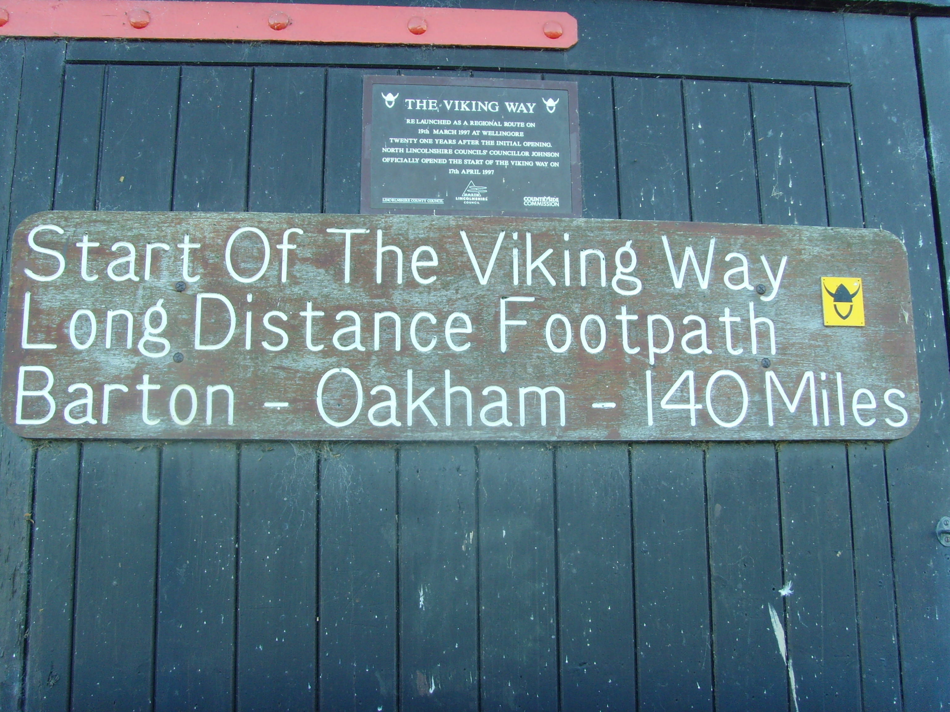
The Viking Way.jpg - Ukengineer

Footpath to Winteringham - geograph.org.uk - 10816.jpg - GeographBot

T Junction - geograph.org.uk - 29012.jpg - GeographBot

Dawsmere Road - geograph.org.uk - 75394.jpg - GeographBot

Eastern entrance to East Ferry - geograph.org.uk - 65343.jpg - GeographBot

Farmland near Stoke Rochford - geograph.org.uk - 69376.jpg - GeographBot

Goxhill Airfield Entrance - geograph.org.uk - 57562.jpg - GeographBot

Humber Bridge Industrial Estate - geograph.org.uk - 62884.jpg - GeographBot

Laughton Forest Tuetoes Trail - geograph.org.uk - 65329.jpg - GeographBot

Sign posts at Denton Bridge - geograph.org.uk - 30124.jpg - GeographBot

Skellingthorpe - geograph.org.uk - 55295.jpg - GeographBot

Sign - geograph.org.uk - 90659.jpg - GeographBot

Belton Forge - geograph.org.uk - 123004.jpg - GeographBot

Parting of ways on the Lincolnshire Wolds - geograph.org.uk - 148273.jpg - GeographBot

Sign. - geograph.org.uk - 165912.jpg - GeographBot

Wolds Signpost - geograph.org.uk - 150502.jpg - GeographBot

Spelling Mistake - geograph.org.uk - 165114.jpg - GeographBot

Danger Deep Water - geograph.org.uk - 172161.jpg - GeographBot

Chapel Lane, North Scarle - geograph.org.uk - 183639.jpg - GeographBot

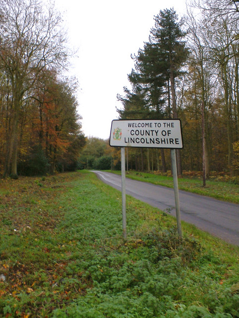
County Boundary - geograph.org.uk - 191420.jpg - GeographBot

Fulney Lock, Spalding - geograph.org.uk - 188923.jpg - GeographBot

On the flood bank at Wragg Marsh - geograph.org.uk - 184152.jpg - GeographBot

'Honey, you don't know how lost you really are,' Mablethorpe - geograph.org.uk - 211672.jpg - GeographBot

Torksey Lock from the Trent - geograph.org.uk - 209072.jpg - GeographBot
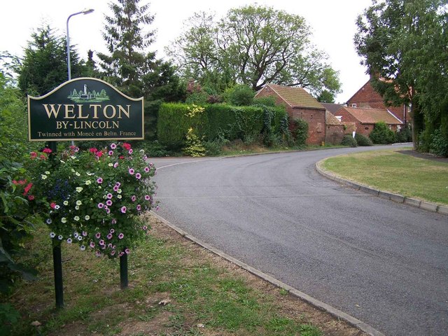
Outskirts of Welton - geograph.org.uk - 215223.jpg - GeographBot

Sand Syke Pumping Station - geograph.org.uk - 219519.jpg - GeographBot

Sign at the end of Stonepit Lane - geograph.org.uk - 215713.jpg - GeographBot

Cleethorpes high tide sign, Sea Road - DSC07333.JPG - Green Lane

Cleethorpes seafront signs - DSC07344.JPG - Green Lane

Village entrance, Gosberton Risegate and Clough, Lincs - geograph.org.uk - 259141.jpg - GeographBot

Which way now^ - geograph.org.uk - 255276.jpg - GeographBot
Border between North Lincolnshire and Lincolnshire in Kirmington.jpg - GeographBot

Footbridge - geograph.org.uk - 285609.jpg - GeographBot

Full English Breakfast - geograph.org.uk - 292996.jpg - GeographBot
Viking Way long distance footpath - geograph.org.uk - 301705.jpg - GeographBot

Signpost near North Kelsey Moor - geograph.org.uk - 310802.jpg - GeographBot

Sign at Lavington Lake - geograph.org.uk - 329791.jpg - GeographBot

Gorse Hill Lane fingerpost - geograph.org.uk - 331812.jpg - GeographBot

Weir Dyke Bridge - geograph.org.uk - 345012.jpg - GeographBot

Kingdom Hall Stamford - geograph.org.uk - 350785.jpg - GeographBot

Footpath from Sleaford meets B1209 - geograph.org.uk - 360360.jpg - GeographBot

Welcome to Crowland - geograph.org.uk - 364523.jpg - GeographBot

Welcome to Swarby - geograph.org.uk - 373657.jpg - GeographBot

Well signed - geograph.org.uk - 375229.jpg - GeographBot

St Martins Church Graveyard Stamford.jpg - Davecrosby uk

Entrance to Fen Farm - geograph.org.uk - 389664.jpg - GeographBot
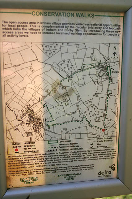
Information sign for the Conservation Walk near Irnham - geograph.org.uk - 386138.jpg - GeographBot

Lane leading to north carpark, Freiston Shore - geograph.org.uk - 389077.jpg - GeographBot

Military range sign - geograph.org.uk - 389979.jpg - GeographBot

Bourne West Sub-station sign - geograph.org.uk - 399640.jpg - GeographBot

Keep off the grass - geograph.org.uk - 392002.jpg - GeographBot

Leadenham House Sign - geograph.org.uk - 390383.jpg - GeographBot

Navigation Wharf - geograph.org.uk - 390472.jpg - GeographBot

Permissive footpath sign - geograph.org.uk - 390797.jpg - GeographBot

Public Bridleway to Ingoldsby Wood - geograph.org.uk - 405467.jpg - GeographBot

'Mile'post 31km - geograph.org.uk - 418740.jpg - Rotatebot

A15 passes Waddington airfield - geograph.org.uk - 419932.jpg - GeographBot

Anglian Water Reservoir - geograph.org.uk - 410146.jpg - GeographBot

Waterboard signposts - geograph.org.uk - 418669.jpg - GeographBot

Macmillan Way sign - geograph.org.uk - 429870.jpg - GeographBot

Route of Walk - geograph.org.uk - 424627.jpg - GeographBot

Start of footpath from B1188 - geograph.org.uk - 420143.jpg - GeographBot

Stile in Hedge - geograph.org.uk - 429578.jpg - GeographBot

Welton Hill - geograph.org.uk - 421347.jpg - GeographBot

Bridleways near Southrey - geograph.org.uk - 434041.jpg - GeographBot

Identity Tag - geograph.org.uk - 437085.jpg - GeographBot

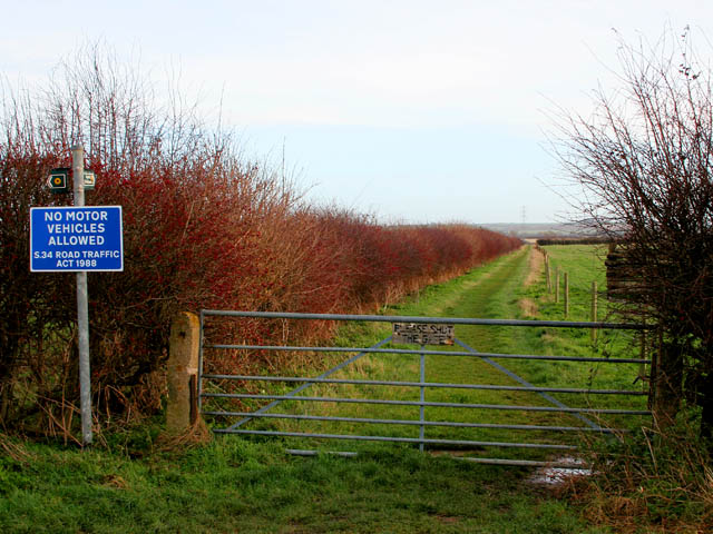
Penalty for not closing gate... - geograph.org.uk - 438591.jpg - GeographBot

Sign on Clay Lane - geograph.org.uk - 439657.jpg - GeographBot

Stapleford House - geograph.org.uk - 439483.jpg - GeographBot

North Somercotes - geograph.org.uk - 444617.jpg - GeographBot

Road sign at the junction with the A16(T) - geograph.org.uk - 443642.jpg - GeographBot
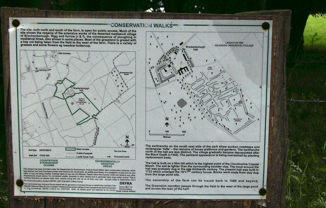
Brackenborough Information - geograph.org.uk - 457516.jpg - GeographBot

Hameringham, On the Edge of the Wolds - geograph.org.uk - 453507.jpg - GeographBot

Mavis Enderby, I Love You^ - geograph.org.uk - 453544.jpg - GeographBot

Old railway signs - geograph.org.uk - 454686.jpg - GeographBot

Blending In - geograph.org.uk - 463085.jpg - GeographBot

Gipsey Bridge - geograph.org.uk - 463259.jpg - GeographBot

Keep to the Path - geograph.org.uk - 468104.jpg - GeographBot

No Information - geograph.org.uk - 464397.jpg - GeographBot

Precise Directions - geograph.org.uk - 464517.jpg - GeographBot
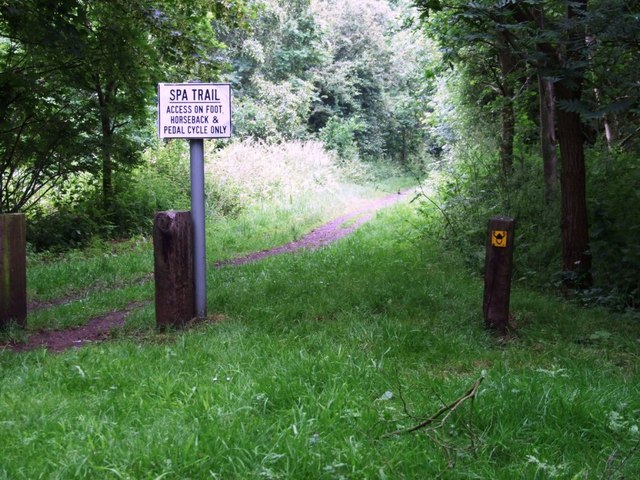
Spa Trail - geograph.org.uk - 464449.jpg - GeographBot

When the Red Flag Flies.. - geograph.org.uk - 476361.jpg - GeographBot

Conservation Walks sign - geograph.org.uk - 494357.jpg - GeographBot

Follow the Path - geograph.org.uk - 491955.jpg - GeographBot

Public footpath sign at folly drain - geograph.org.uk - 494229.jpg - GeographBot

Sign for Haxey Turbary Nature Reserve - geograph.org.uk - 494306.jpg - GeographBot

Confusing Sign^ - geograph.org.uk - 501039.jpg - GeographBot

Burton Stather eastern approach - geograph.org.uk - 517574.jpg - GeographBot

Heighington Post Office Sign - geograph.org.uk - 515585.jpg - GeographBot

Gautby junction - geograph.org.uk - 520407.jpg - GeographBot

Wasps Nest - geograph.org.uk - 521216.jpg - GeographBot

Signpost to Saxby - geograph.org.uk - 536714.jpg - GeographBot

Goxhill Haven Outfall - Landward Side - geograph.org.uk - 541462.jpg - GeographBot

Goxhill Haven Outfall - geograph.org.uk - 542213.jpg - GeographBot

Plate on triangulation pillar - geograph.org.uk - 542019.jpg - GeographBot

The Footpath Starts Here - geograph.org.uk - 548714.jpg - GeographBot

Goxhill Haven Outfall - geograph.org.uk - 557767.jpg - GeographBot

Parish Council Notice Board, Tattershall Thorpe - geograph.org.uk - 556100.jpg - GeographBot

Howe Lane Level Crossing, Goxhill - geograph.org.uk - 564332.jpg - GeographBot

The Footpath to Nuncoatham Priory - geograph.org.uk - 572743.jpg - GeographBot

Awaiting Auction - geograph.org.uk - 580878.jpg - GeographBot

Fishing from this side only - geograph.org.uk - 589849.jpg - GeographBot

Gate to Thurlby Slipe Nature Reserve - geograph.org.uk - 587841.jpg - GeographBot

Hards Lane sign - geograph.org.uk - 588017.jpg - GeographBot

Wash Cows - geograph.org.uk - 602351.jpg - GeographBot

Prospect Street Play Area, Horncastle - geograph.org.uk - 619929.jpg - GeographBot

End of road - geograph.org.uk - 642789.jpg - GeographBot

Goxhill Haven Outfall - Landward Side - geograph.org.uk - 665620.jpg - GeographBot

Looking towards South Ferriby - geograph.org.uk - 667353.jpg - GeographBot
Sold Out^ - geograph.org.uk - 669764.jpg - GeographBot

Beware of the Ducks - geograph.org.uk - 693477.jpg - GeographBot

The Line to Goxhill - geograph.org.uk - 694321.jpg - GeographBot

The Line to Ulceby - geograph.org.uk - 694323.jpg - GeographBot

Entering Owston Ferry - geograph.org.uk - 711611.jpg - GeographBot
Prohibited anchorage - geograph.org.uk - 711636.jpg - GeographBot

Route 1 - geograph.org.uk - 742473.jpg - GeographBot

Sign of the times - Alcohol Exclusion Zone - geograph.org.uk - 742073.jpg - GeographBot

Keep Shut - geograph.org.uk - 753345.jpg - GeographBot

Witham Bank East, Boston - geograph.org.uk - 777592.jpg - GeographBot

Caravans turn right - geograph.org.uk - 789840.jpg - GeographBot

Claydyke Bank - geograph.org.uk - 782182.jpg - GeographBot

Permissive footpath by the River Slea - geograph.org.uk - 782035.jpg - GeographBot

Approaching the Lincolnshire village of Hungerton - geograph.org.uk - 807954.jpg - GeographBot

Notice at the end of the Public Footpath - geograph.org.uk - 865334.jpg - GeographBot

Notice on Marsh Lane - geograph.org.uk - 864531.jpg - GeographBot

Mill signs - geograph.org.uk - 950897.jpg - GeographBot

HP Gas Pipeline Marker on Elsham Wolds - geograph.org.uk - 975387.jpg - GeographBot

Protected Roadside Verge sign - geograph.org.uk - 1000014.jpg - GeographBot

Approaching Baumber - geograph.org.uk - 1012740.jpg - GeographBot

Quarry danger sign at Ulceby, North Lincolnshire - geograph.org.uk - 1048991.jpg - GeographBot

Osgodby from the north - geograph.org.uk - 1059868.jpg - GeographBot

Thoresway AA Sign - geograph.org.uk - 1107046.jpg - GeographBot

Operation Bumblebee - geograph.org.uk - 1129226.jpg - GeographBot

To Boston 6 - geograph.org.uk - 1186365.jpg - GeographBot

In case you missed the other signs - geograph.org.uk - 1249506.jpg - GeographBot

Show me the way to Windy Bottom - geograph.org.uk - 1259135.jpg - GeographBot

Toothless wonder - geograph.org.uk - 1279672.jpg - GeographBot

Santon Road Warning sign - geograph.org.uk - 1283484.jpg - GeographBot

The Viking Way towards Turton's Covert - geograph.org.uk - 1356503.jpg - GeographBot
The A1077 at Wootton - geograph.org.uk - 1378442.jpg - GeographBot

The Signpost at Spot Height 98m - geograph.org.uk - 1395705.jpg - GeographBot

Former Town Hall, Horncastle - geograph.org.uk - 1409781.jpg - GeographBot

Viking Way near Far Ings - geograph.org.uk - 1412019.jpg - GeographBot

Road Liable to Flooding - geograph.org.uk - 1421338.jpg - GeographBot

Engine peninsula-Guthram Gowt-geograph-1788354-by-Bob-Harvey.jpg - Geograph Update Bot

Fox's Fold, Barton upon Humber - geograph.org.uk - 1526258.jpg - GeographBot

Near Horkstow - geograph.org.uk - 1594304.jpg - GeographBot

Entering Horkstow - geograph.org.uk - 1739655.jpg - GeographBot

Bounre Police station, above the door-Geograph-2296144-by-Bob-Harvey.jpg - Robert EA Harvey

Fire Hydrant, Westfield Park, Bourne-Geograph-2296182-by-Bob-Harvey.jpg - Robert EA Harvey
Stop Valve sign and cover Geograph-2296717-by-Bob-Harvey.jpg - Geograph Update Bot

Railway crossing - geograph.org.uk - 645621.jpg - GeographBot

Rustic Signpost near Horkstow - geograph.org.uk - 1806387.jpg - GeographBot

Sign on Newark Road, North Hykeham, Lincolnshire, England - DSCF1452.JPG - Green Lane

Stamford Olympic Event.jpg - MOTORAL1987

Tea Pot Hall, Bottesford.jpg - Bjh21

Aby Church of England Primary School.jpg - Geograph Update Bot

Cast Iron Milepost, A152.jpg - Bjh21

The Square, Little Ponton (geograph 2078833).jpg - Robert EA Harvey

Owersby Bridge (geograph 3505947).jpg - File Upload Bot (Magnus Manske)

Belton (Grantham) - The Old School 01.jpg - Acabashi

Lincolnshire.jpg - Antbex74

Welcome to Yaddlethorpe.jpg - Shepard

Bottesford Junior School.jpg - Shepard

Welcome to Bottesford Infant School.jpg - Shepard

Welcome to Bottesford.jpg - Shepard

A plaque showing the railway and a brief history of Woodhall Spa station..jpg - DragonofBatley

Barton beck sign.jpg - Zakhx150

North Lincolnshire sign.jpg - Zakhx150

New Lidl, Barton upon Humber (geograph 6201668).jpg - Keith D

Bus Station, Skegness - geograph.org.uk - 2258938.jpg - GeographBot

Boarded up sculptures, Station Plaza, Skegness - geograph.org.uk - 3493700.jpg - GeographBot

Closed for the Queen's funeral (geograph 7285643).jpg - Cakelot1

Boots closed for the Queen's funeral.jpg - Sionk

Halifax closed for the Queen's funeral.jpg - Sionk

Mallard speed record sign - geograph.org.uk - 4166000.jpg - GeographBot

Bloodcurdling warnings - geograph.org.uk - 4615452.jpg - GeographBot

Another notice - geograph.org.uk - 4615456.jpg - GeographBot

Warning notices - geograph.org.uk - 4780681.jpg - GeographBot

Steaming into the record books - geograph.org.uk - 4910001.jpg - GeographBot

Level crossing at Holton Fish Pond - geograph.org.uk - 5714636.jpg - GeographBot

View from a Doncaster-Peterborough train - Mallard speed record sign - geograph.org.uk - 6128551.jpg - GeographBot