Wikimedi'Òc
Modes d'emploi

Cet album fait partie des albums


MediaCityUK Salford Quays- 4741.JPG - ClemRutter

MediaCityUK Metrolink Salford Quays- 4743.JPG - ClemRutter

Salford Quays- Swim Mariners Canal 5237.JPG - ClemRutter

Salford Quays- Swim Mariners 5238.JPG - ClemRutter

Salford Quays- Mariners Swim 5247.JPG - ClemRutter

Salford Quays- Mariners Swim 5248.JPG - ClemRutter

Salford Quays- Mariners Swim 5250.JPG - ClemRutter

Salford Quays- Mariners Swim 5251.JPG - ClemRutter

M60 Footbridge At Clifton Moss - geograph.org.uk - 2054864.jpg - GeographBot

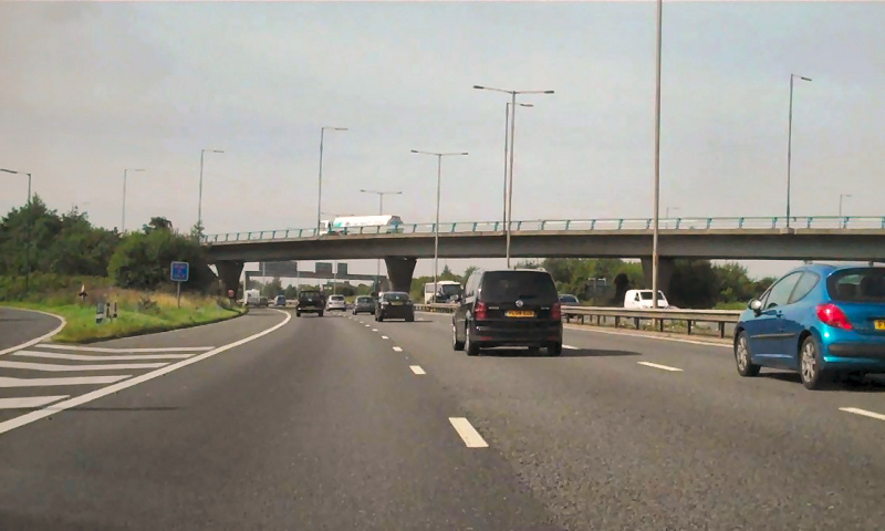
M60 Junction 15 - geograph.org.uk - 2054865.jpg - GeographBot

M60, Worsley Interchange - geograph.org.uk - 2054870.jpg - GeographBot
M60 Worsley Interchange - geograph.org.uk - 2054872.jpg - GeographBot

M60, Junction 13 - geograph.org.uk - 2054879.jpg - GeographBot

M60, Sign Gantry - geograph.org.uk - 2055483.jpg - GeographBot

M60, Junction 12 - geograph.org.uk - 2055494.jpg - GeographBot
M60 Eccles Interchange - geograph.org.uk - 2055524.jpg - GeographBot

Rail Bridge Over M60, Eccles - geograph.org.uk - 2055594.jpg - GeographBot

M60 At Eccles, Approach to Barton Bridge - geograph.org.uk - 2055649.jpg - GeographBot

The former NatWest branch in Pendleton - geograph.org.uk - 2062041.jpg - GeographBot

M62, Woolden Hall - geograph.org.uk - 2062742.jpg - GeographBot

M62 Astley Road Bridge At Irlam - geograph.org.uk - 2062749.jpg - GeographBot

M62, Bridge Near Woodstock Farm - geograph.org.uk - 2062752.jpg - GeographBot

M62, Cutnook Lane Bridge - geograph.org.uk - 2062759.jpg - GeographBot

M62, Raspberry Lane Bridge, Barton Grange - geograph.org.uk - 2062761.jpg - GeographBot

Barton Moss Road Bridge - geograph.org.uk - 2062766.jpg - GeographBot

Rail Bridge Over The M62 At Barton Moss - geograph.org.uk - 2062769.jpg - GeographBot

M62 Approaching Junction 12 - geograph.org.uk - 2062776.jpg - GeographBot

M62-M60 Junction 12 - geograph.org.uk - 2062784.jpg - GeographBot

The chippy on Broughton Road, Pendleton - geograph.org.uk - 2063110.jpg - GeographBot

Mount Chapel - geograph.org.uk - 2063187.jpg - GeographBot

Langworthy Road, Seedley - geograph.org.uk - 2063193.jpg - GeographBot

A former church which is now a medical practice - geograph.org.uk - 2063202.jpg - GeographBot

Langworthy Road County Primary School - geograph.org.uk - 2063218.jpg - GeographBot

Langworthy Road shops - geograph.org.uk - 2063271.jpg - GeographBot

Renovated terraces - geograph.org.uk - 2063307.jpg - GeographBot

Roundabout near Salford Shopping City - geograph.org.uk - 2063387.jpg - GeographBot

The Winston on Churchill Way - geograph.org.uk - 2063427.jpg - GeographBot

A well established tree - geograph.org.uk - 2066523.jpg - GeographBot

Mort Lane Railway Bridge - geograph.org.uk - 2076278.jpg - GeographBot

East Lancashire Road, Boothstown - geograph.org.uk - 2076323.jpg - GeographBot

Victoria Park opposite Barton Road - geograph.org.uk - 2076650.jpg - GeographBot

Centenary Circle - geograph.org.uk - 2079705.jpg - GeographBot

New road and bridge - geograph.org.uk - 2079733.jpg - GeographBot

A shopping street in Monton - geograph.org.uk - 2079761.jpg - GeographBot

The M602 bridge dominates - geograph.org.uk - 2079769.jpg - GeographBot

Traffic outside Worsley Methodist Church - geograph.org.uk - 2079792.jpg - GeographBot

The Post Office in Boothstown - geograph.org.uk - 2079994.jpg - GeographBot

The approach to the Queen's Arms junction on the East Lancs Road - geograph.org.uk - 2080004.jpg - GeographBot

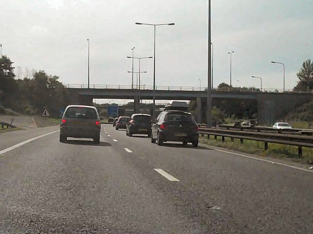
M60 Motorway, Approaching J15 - geograph.org.uk - 2225462.jpg - GeographBot