Wikimedi'Òc
Modes d'emploi

Cet album fait partie des albums
Cet album photos contient les sous-albums suivants :


Entrance to the amusement arcade on Paignton pier - geograph.org.uk - 6734922.jpg - GeographBot

Exeter St Davids platform 6 6024.jpg - Geof Sheppard

Axminster, postbox № EX13 1, Lyme Road - geograph.org.uk - 982511.jpg - GeographBot

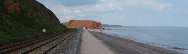
Dawlish Warren , Coastal Path, Railway and Coastline - geograph.org.uk - 1345924.jpg - GeographBot

Dawlish Warren , Coastal Path and Railway - geograph.org.uk - 1345848.jpg - GeographBot

Dawlish Warren , Coastal Path and Railway - geograph.org.uk - 1345851.jpg - GeographBot

Dawlish Warren , Coastal Path and Railway - geograph.org.uk - 1345922.jpg - GeographBot

Dawlish Warren , Coastal Walk Path, Railway and South West Train - geograph.org.uk - 1345840.jpg - GeographBot

Dawlish Warren , Dawlish Coastal Path - geograph.org.uk - 1345844.jpg - GeographBot

Dawlish Warren , Dawlish Coastal Walk - geograph.org.uk - 1345835.jpg - GeographBot
Dawlish Warren , Railway Coastal Path and Langstone Rock - geograph.org.uk - 1345850.jpg - GeographBot

Bideford old bridge - geograph.org.uk - 1478494.jpg - GeographBot

Gara Beach - geograph.org.uk - 1475081.jpg - GeographBot

Jewels Hair Salon, 67 The High Street - geograph.org.uk - 1478373.jpg - GeographBot

The Lanes leading away from Avenue Road towards Northfield Road - geograph.org.uk - 1478294.jpg - GeographBot

The Lanes looking east towards Avenue Road - geograph.org.uk - 1478300.jpg - GeographBot

The Lanes looking east with Fortescue Road on the left - geograph.org.uk - 1478339.jpg - GeographBot

The Lanes looking from "The Secret Garden" towards Arcade Road - geograph.org.uk - 1477351.jpg - GeographBot

The Lanes looking west from Charleston Court towards Market Street - geograph.org.uk - 1475679.jpg - GeographBot

The Lanes looking west towards Northfield Road - geograph.org.uk - 1478353.jpg - GeographBot

The Lanes looking west with Fortescue Road on the right - geograph.org.uk - 1478326.jpg - GeographBot

The Market Arches at the top of Market Street - geograph.org.uk - 1477396.jpg - GeographBot

The easterly entrance to The Lanes at Arcade Road - geograph.org.uk - 1475704.jpg - GeographBot

The entrance to The Lanes on Market Street - geograph.org.uk - 1477363.jpg - GeographBot

Tiverton , Tiverton Garden Club Flower Show Board - geograph.org.uk - 1476675.jpg - GeographBot

Dawlish Railway Station - geograph.org.uk - 1484269.jpg - GeographBot

Imperial Road, Exmouth - geograph.org.uk - 1484250.jpg - GeographBot

Paignton , Paignton Zoo, Bench and Peacock - geograph.org.uk - 1484781.jpg - GeographBot

Paignton , Paignton Zoo, Footpath and Peacock - geograph.org.uk - 1483551.jpg - GeographBot

Paignton , Totnes Road Junction - geograph.org.uk - 1482028.jpg - GeographBot

The York Inn, Exmouth - geograph.org.uk - 1484246.jpg - GeographBot

Tiverton , Business Car Park - geograph.org.uk - 1480662.jpg - GeographBot

Train at Dawlish - geograph.org.uk - 1484300.jpg - GeographBot

View of Dawlish from the beach - geograph.org.uk - 1484280.jpg - GeographBot

View of Dawlish from the beach - geograph.org.uk - 1484283.jpg - GeographBot

Axe Yacht Club - geograph.org.uk - 1497345.jpg - GeographBot

Cottages at Dunsford - geograph.org.uk - 1490947.jpg - GeographBot

Fishing at Beesands - geograph.org.uk - 1490816.jpg - GeographBot

No trains here now - geograph.org.uk - 1492814.jpg - GeographBot

Sewage Inspection Cover - geograph.org.uk - 1491305.jpg - GeographBot

The Cul-de-sac Greeways viewed from the distal end - geograph.org.uk - 1494384.jpg - GeographBot

Topsham Railway Station - geograph.org.uk - 1497354.jpg - GeographBot

Topsham Railway Station - geograph.org.uk - 1497358.jpg - GeographBot

Water stop cock access cover bearing the name Glandel - geograph.org.uk - 1491369.jpg - GeographBot

"King Edward I" at Kingswear - geograph.org.uk - 1507699.jpg - GeographBot

Teignmouth pier - geograph.org.uk - 1505440.jpg - GeographBot

The Gamekeeper's Cottage - geograph.org.uk - 1506497.jpg - GeographBot
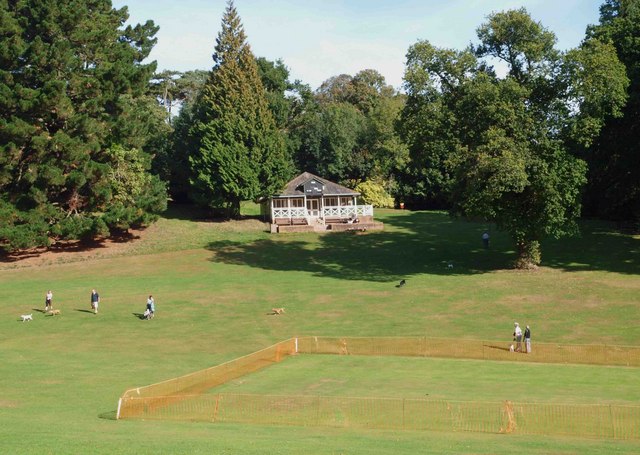
The cricket pavilion Cockington - geograph.org.uk - 1506261.jpg - GeographBot

The entrance on Horne Road which leads to Scamps yard - geograph.org.uk - 1500590.jpg - GeographBot

The entrance to Scamps yard from St. Brannock's road - geograph.org.uk - 1501027.jpg - GeographBot

The footpath leading from Horne Road to Drapers Close - geograph.org.uk - 1501040.jpg - GeographBot

The footpath which leads from Horne Road to St Brannock's Road - geograph.org.uk - 1501124.jpg - GeographBot

The footpath which leads from St. Brannock's Road to Horne Road - geograph.org.uk - 1501131.jpg - GeographBot

The main railway line alongside the coast at Teignmouth - geograph.org.uk - 1505494.jpg - GeographBot

Brunel Park, Dawlish Warren - geograph.org.uk - 1510476.jpg - GeographBot

Dawlish Warren railway station approach - geograph.org.uk - 1510517.jpg - GeographBot

Emmanuel Scout hut - geograph.org.uk - 1514343.jpg - GeographBot

Langdon Hospital - geograph.org.uk - 1510115.jpg - GeographBot

Primley Road Church - geograph.org.uk - 1511512.jpg - GeographBot

The passage leading from Drapers Close to Horne Road - geograph.org.uk - 1519016.jpg - GeographBot

Tractor and beach, Bantham - geograph.org.uk - 1513281.jpg - GeographBot

Tavistock Corn Exchange - geograph.org.uk - 1563575.jpg - GeographBot

Putsborough ford - geograph.org.uk - 1632806.jpg - GeographBot

The Rock Inn - geograph.org.uk - 1632741.jpg - GeographBot

The Thatched Barn Inn, Croyde - geograph.org.uk - 1633263.jpg - GeographBot

Getting Steam Up - geograph.org.uk - 1650752.jpg - GeographBot

Mary Tavy Hydro Electric Power Station - geograph.org.uk - 1760364.jpg - GeographBot

Mary Tavy Hydro Power Station - geograph.org.uk - 1760371.jpg - GeographBot

Mary Tavy Hydro Power Station - geograph.org.uk - 1760376.jpg - GeographBot

Oceanmarineequip.jpg - Rcbutcher

Upper Slade Reservoir.jpg - 21C117

Crossing Bideford Long Bridge - geograph.org.uk - 5144411.jpg - GeographBot