Wikimedi'Òc
Modes d'emploi

Cet album fait partie des albums
Cet album photos contient les sous-albums suivants :


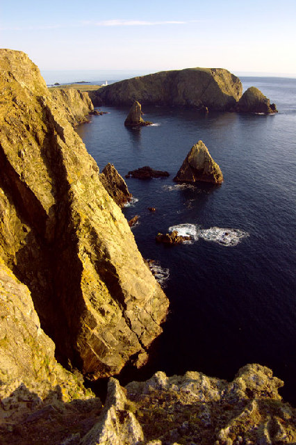
Lamba Stack, Blue Mull, from the sea - geograph.org.uk - 7541637.jpg - GeographBot
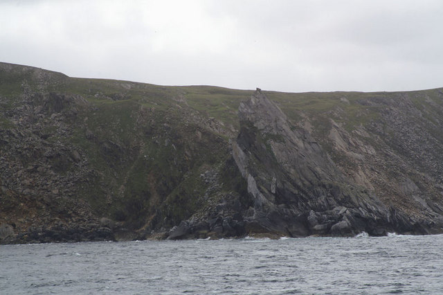
Fair Isle - West cliffs.jpg - Cactus.man

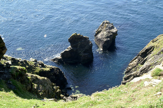
Klippen bei Eshaness2 5834.JPG - ThoWi~commonswiki

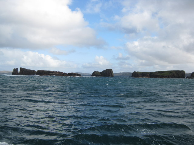
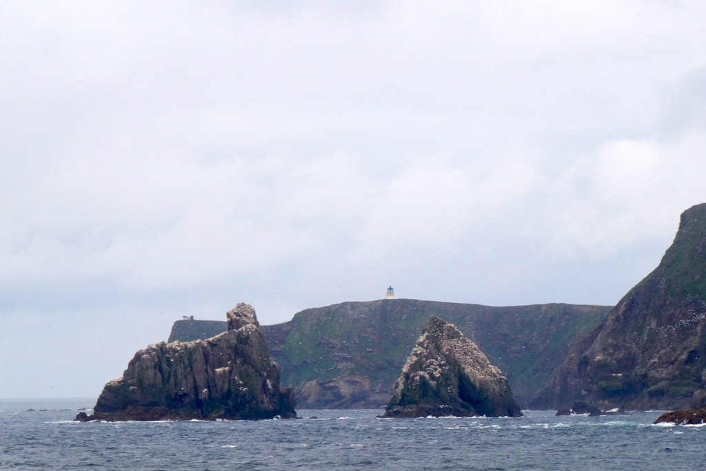
Galti Stacks.jpg - W. L. Tarbert

Sea Stack "Da Kist" - geograph.org.uk - 37590.jpg - GeographBot

Stacks in Whales Wick - geograph.org.uk - 32838.jpg - GeographBot

Unnamed Sea Stack - geograph.org.uk - 37606.jpg - GeographBot

On Stonga Banks, view to Turls Head and Gruna Stack - geograph.org.uk - 102375.jpg - GeographBot

Burra Stack, Unst - geograph.org.uk - 116634.jpg - GeographBot

Sea stacks at Silwick - geograph.org.uk - 102528.jpg - GeographBot

Clett Head, Whalsay, Shetland - geograph.org.uk - 145723.jpg - GeographBot

The Greing and Humla Stack, Unst - geograph.org.uk - 116647.jpg - GeographBot

Burra Stack - geograph.org.uk - 206947.jpg - GeographBot

Seaward side of Da Kist - geograph.org.uk - 186465.jpg - GeographBot

Da Sherriff - geograph.org.uk - 344962.jpg - GeographBot

Heads of Grocken - geograph.org.uk - 345672.jpg - GeographBot

Inner Stack - geograph.org.uk - 345629.jpg - GeographBot

West Loch, Eshaness, and Dore Holm - geograph.org.uk - 345697.jpg - GeographBot

Unusual rock formations at Wester Wick - geograph.org.uk - 354899.jpg - GeographBot

Gordi Stack - geograph.org.uk - 550951.jpg - GeographBot

Gruna Stack - geograph.org.uk - 551181.jpg - GeographBot

Lyra Stack - geograph.org.uk - 799024.jpg - GeographBot

Snarra Ness and Lang Stack - geograph.org.uk - 799122.jpg - GeographBot

Snolda Sea Stack - geograph.org.uk - 799015.jpg - Rotatebot

Unnamed Sea Stack Off Breigeo Head, Papa Stour (Big Isle of the Priests) - geograph.org.uk - 798589.jpg - Rotatebot

Aastack - geograph.org.uk - 873831.jpg - GeographBot

Ern Stack from the sea - geograph.org.uk - 873817.jpg - GeographBot
Ern Stack from the sea - geograph.org.uk - 873823.jpg - GeographBot
Stacks beside the Blue Mull - geograph.org.uk - 871890.jpg - GeographBot

Kirk Stack - geograph.org.uk - 908549.jpg - GeographBot

The Neap Stacks, Braewick - geograph.org.uk - 919059.jpg - GeographBot

Valaberg - geograph.org.uk - 921888.jpg - GeographBot

Small stack south of Moo Satck - geograph.org.uk - 937924.jpg - GeographBot

Sothers Geo - geograph.org.uk - 940999.jpg - GeographBot

Sothers Stack - geograph.org.uk - 940995.jpg - GeographBot

Drinkinghorse.jpg - MGA73bot2

Papa Stour - panoramio (2).jpg - Panoramio upload bot

Papa Stour - panoramio (3).jpg - Panoramio upload bot

Papa Stour - panoramio (7).jpg - Panoramio upload bot

Papa Stour - panoramio (8).jpg - Panoramio upload bot

King of the Castle IMG 8961 (17666750049).jpg - Mungoola

Moo Stack IMG 1528 (34045113102).jpg - Colombavia

Pappa Stour, Shetland.jpg - Ajax1953

Gaada Stack (geograph 4991193).jpg - Salen9

Gaada Stack (geograph 496975).jpg - Salen9

Oe Stack from the south - geograph.org.uk - 1974708.jpg - GeographBot

The Roodrans from Whal Horn - geograph.org.uk - 1975091.jpg - GeographBot

The Roodrans from Ketligill Head - geograph.org.uk - 1975121.jpg - GeographBot

Gro Stack from Wats Ness - geograph.org.uk - 1976767.jpg - GeographBot

Stack of Sumra from Bratta Beck - geograph.org.uk - 1979256.jpg - GeographBot

Stacks, Timber Geo - geograph.org.uk - 1997248.jpg - GeographBot

Sweinna Stack from The Land - geograph.org.uk - 1997359.jpg - GeographBot

Eegittle from the east - geograph.org.uk - 1998253.jpg - GeographBot

Looking south across Aastack Geo - geograph.org.uk - 1998283.jpg - GeographBot

Grey Stack from Bagi Stack - geograph.org.uk - 1998315.jpg - GeographBot

Moo Stack - geograph.org.uk - 2031971.jpg - GeographBot

Sea Stack by Breigeo - geograph.org.uk - 2031998.jpg - GeographBot

Volcanic Coast - geograph.org.uk - 2032046.jpg - GeographBot

Gaada Stacks - geograph.org.uk - 2046654.jpg - GeographBot

Burga Stacks - geograph.org.uk - 2046818.jpg - GeographBot

Hich Holm - geograph.org.uk - 2055895.jpg - GeographBot

Yellow Stack - geograph.org.uk - 2075104.jpg - GeographBot

Yellow Stack, Isle of Fethaland - geograph.org.uk - 2075168.jpg - GeographBot

Stack Off Burgi Ayre - geograph.org.uk - 2080990.jpg - GeographBot

Stack of Birrier - geograph.org.uk - 2155081.jpg - GeographBot

The Groni Stack - geograph.org.uk - 2277081.jpg - GeographBot

Johnny Sinclair's Nose - geograph.org.uk - 2606456.jpg - GeographBot

Score Stack and Outer Flaess, Skaw - geograph.org.uk - 2608356.jpg - GeographBot

Muckle Fogla Stack - geograph.org.uk - 2636559.jpg - GeographBot

Lori Geo and the Stack of Nestig, Westing - geograph.org.uk - 2996087.jpg - GeographBot

Stack of Nestig, Westing - geograph.org.uk - 2996098.jpg - GeographBot

The Runk, west of Braewick - geograph.org.uk - 3008393.jpg - GeographBot

Ruggen, Ness of Sound - geograph.org.uk - 3120191.jpg - GeographBot

Stack of Kidgeo, Mu Ness - geograph.org.uk - 3169924.jpg - GeographBot
Brei Holm and Maiden Stack - geograph.org.uk - 3271773.jpg - GeographBot

Muckle Stack and Flat Stack, Levaneap - geograph.org.uk - 3346651.jpg - GeographBot

Fugla Stack, Ness of Littlegarth - geograph.org.uk - 3432365.jpg - GeographBot

Furra Stacks, Funzie - geograph.org.uk - 3478373.jpg - GeographBot

Furra Stacks, Funzie - geograph.org.uk - 3478378.jpg - GeographBot

Gaada Stack, Foula - geograph.org.uk - 3507369.jpg - GeographBot

Cliff edge, stack, and the distant island of Foula - geograph.org.uk - 3530226.jpg - GeographBot

Clingera Stack, Hermaness - geograph.org.uk - 3530675.jpg - GeographBot

Looking south towards the Neap from above Clingra Stack, Hermaness - geograph.org.uk - 3531454.jpg - GeographBot

Above Muckle Heyler, Woodwick - geograph.org.uk - 3542408.jpg - GeographBot

Swabi Stack - geograph.org.uk - 3557543.jpg - GeographBot

Stack, Broad Geo of Smithfield - geograph.org.uk - 3560078.jpg - GeographBot

Stack on the Ness of Trebister - geograph.org.uk - 3573886.jpg - GeographBot

Fru Stack - geograph.org.uk - 3577837.jpg - GeographBot

Hich Holm - geograph.org.uk - 3581002.jpg - GeographBot

Moo Stack - geograph.org.uk - 3586359.jpg - GeographBot

Coast between Valaberg and Skate Stack - geograph.org.uk - 3653870.jpg - GeographBot

Vadament Stack, Flubersgerdie - geograph.org.uk - 3653906.jpg - GeographBot

Stacks of Poindie, near Orknagable - geograph.org.uk - 3655402.jpg - GeographBot

Stacks of Poindie, near Orknagable - geograph.org.uk - 3655408.jpg - GeographBot

Stacks of Poindie from the coast west of Libbers Hill - geograph.org.uk - 3655440.jpg - GeographBot

Stack of Otter Geo and the Taing, Virkie, from the air - geograph.org.uk - 3710468.jpg - GeographBot

Burrier Stacks - geograph.org.uk - 3799803.jpg - GeographBot

Swabie Stane - geograph.org.uk - 3829462.jpg - GeographBot

Da Kist - geograph.org.uk - 3831569.jpg - GeographBot

Da Kist - geograph.org.uk - 3831625.jpg - GeographBot

Spindle - geograph.org.uk - 3831728.jpg - GeographBot

Stacks west of Hermaness Hill - geograph.org.uk - 3994708.jpg - GeographBot

Stackins-hocka, Hermaness - geograph.org.uk - 3994710.jpg - GeographBot

Stacks below the Neap, Hermaness - geograph.org.uk - 3998504.jpg - GeographBot

Clave Stack, between Westing and Woodwick - geograph.org.uk - 4040066.jpg - GeographBot

Kirk Stack, Fair Isle, from the sea - geograph.org.uk - 4134158.jpg - GeographBot

Stacks of Poindie and Tonga - geograph.org.uk - 4184719.jpg - GeographBot

Stack of Mooasunds, Lamba Ness - geograph.org.uk - 4196784.jpg - GeographBot

Ness of Hillswick, the western cliffs at Hu Field - geograph.org.uk - 4311457.jpg - GeographBot

Gordi Stack - geograph.org.uk - 4311468.jpg - GeographBot

Un-named stack at the mouth of Forn Geo, Skaw - geograph.org.uk - 4358225.jpg - GeographBot

Stack of Billyageo and the end of No Ness - geograph.org.uk - 4541948.jpg - GeographBot

Stacks of Scambro from Birdens, near Strandburgh Ness, Fetlar - geograph.org.uk - 4971347.jpg - GeographBot

North coast of Foula - geograph.org.uk - 4991182.jpg - GeographBot

Ship Stack from Valtoes - geograph.org.uk - 4999987.jpg - GeographBot

Moo Stack viewed from Skelda Ness - geograph.org.uk - 5007317.jpg - GeographBot

Giltarump near Westerwick - geograph.org.uk - 5010527.jpg - GeographBot

Creel boat off Hinda Stack, Clibberswick - geograph.org.uk - 5052936.jpg - GeographBot

Stacks at Papa Stour - geograph.org.uk - 5057433.jpg - GeographBot
Kirk Stack, Fair Isle, from the sea - geograph.org.uk - 5060401.jpg - GeographBot

Da Ristie and Gaada Stack - geograph.org.uk - 5129550.jpg - GeographBot

Stacks of Houssness, East Burra - geograph.org.uk - 5134883.jpg - GeographBot

Sea running in Mare's Geo and the Stacks of Houssness - geograph.org.uk - 5134888.jpg - GeographBot

At the Point of Stakka - geograph.org.uk - 5134916.jpg - GeographBot

Stack of Birrier and the Clett, off the north coast of Fetlar - geograph.org.uk - 5207260.jpg - GeographBot

Fugla Stack, off the Neap of Littlegarth, Uyeasound, from the sea - geograph.org.uk - 5207787.jpg - GeographBot

Score Stack - geograph.org.uk - 5441580.jpg - GeographBot

Small rock off Greystane Geo, Sumburgh - geograph.org.uk - 5447130.jpg - GeographBot

Stacks west of Hermaness Hill and Muckle Flugga, from the Neap - geograph.org.uk - 5471846.jpg - GeographBot

Stacks west of Hermaness Hill at dusk - geograph.org.uk - 5471861.jpg - GeographBot

Small creel boat beside Mooa Stack, Clibberswick - geograph.org.uk - 5522207.jpg - GeographBot

Hinda Stack and the Giant from the sea - geograph.org.uk - 5522233.jpg - GeographBot

Wilna Stack, Hermaness, from the sea - geograph.org.uk - 5522398.jpg - GeographBot

Wilna Stack, Hermaness, from the sea - geograph.org.uk - 5522411.jpg - GeographBot

Wurs Stack, Hermaness, from the sea - geograph.org.uk - 5522438.jpg - GeographBot

Rippack Stack, South Ness, Foula - geograph.org.uk - 5763355.jpg - GeographBot

The Bak and Groni Stack, Westerwick, from the air - geograph.org.uk - 5763528.jpg - GeographBot

Geo o' Muntavie, Stremness, Foula - geograph.org.uk - 5771511.jpg - GeographBot

Lamba Stack and Bruray Ward, Out Skerries - geograph.org.uk - 5795829.jpg - GeographBot

Rams Ness, Fetlar - geograph.org.uk - 5796968.jpg - GeographBot

Scarf Stack, off Uyea - geograph.org.uk - 5807018.jpg - GeographBot

Sea stack in the West Voe of Sumburgh - geograph.org.uk - 5808901.jpg - GeographBot

Yellow Stack at Point of Fethaland - geograph.org.uk - 5810762.jpg - GeographBot

One of the Murbie Stacks - geograph.org.uk - 5828594.jpg - GeographBot

Blue Stack - geograph.org.uk - 5832714.jpg - GeographBot

Snolda Sea Stack in Hund Geo, Papa Stour - geograph.org.uk - 6029850.jpg - GeographBot

Panorama of the stacks west of Hermaness Hill - geograph.org.uk - 6187201.jpg - GeographBot

Stack of Birrier and the Clett, Fetlar - geograph.org.uk - 6193684.jpg - GeographBot

Peerie Stack, Ness of Strandburgh, Fetlar - geograph.org.uk - 6193736.jpg - GeographBot

Small rock off the Horn of Ramsness, Fetlar - geograph.org.uk - 6193900.jpg - GeographBot

Stacks at Corbie Head, Fetlar - geograph.org.uk - 6194670.jpg - GeographBot

Stack of Bresdale, Fetlar - geograph.org.uk - 6194709.jpg - GeographBot

Stacks west of Hermaness Hill from Toolie, Hermaness - geograph.org.uk - 6509386.jpg - GeographBot

Sea Stacks south of St Ninian's Isle - geograph.org.uk - 6885084.jpg - GeographBot

Yellow Stack - Isle of Fethaland - geograph.org.uk - 6887236.jpg - GeographBot

Longa Stacks, off Tonga, from the sea - geograph.org.uk - 6967286.jpg - GeographBot

Wilna Stack, Hermaness, from the sea - geograph.org.uk - 6967874.jpg - GeographBot