Wikimedi'Òc
Modes d'emploi

Cet album fait partie des albums
Cet album photos contient les sous-albums suivants :


Cross Base and Shaft in the Churchyard of St Mary's Church, The Green, Astbury (NHLE Code 1138741) (May 2022) (1).jpg - Hassocks5489

Cross Base and Shaft in the Churchyard of St Mary's Church, The Green, Astbury (NHLE Code 1138741) (May 2022) (2).jpg - Hassocks5489

Barrow cross.jpg - Peter I. Vardy

Helsby Hill.jpg - Peter I. Vardy

Hulme Hall Moat.jpg - Peter I. Vardy

Sutton Cross.jpg - Peter I. Vardy

Shocklach Cross.jpg - Peter I. Vardy

Plague stone.jpg - Peter I. Vardy

Longstone.jpg - Peter I. Vardy

St Chad's Church, Over sundial.jpg - Peter I. Vardy

Farmland and Mound at Coddington - geograph.org.uk - 414509.jpg - GeographBot

Moat by Wybunbury - geograph.org.uk - 416227.jpg - GeographBot

Mound and Parish Room at Coddington - geograph.org.uk - 414538.jpg - GeographBot

Moat, near Saighton Hall Farm - geograph.org.uk - 650754.jpg - GeographBot

Top of the Moat - geograph.org.uk - 650774.jpg - GeographBot

Dane Bower - geograph.org.uk - 1518944.jpg - GeographBot

Danebower Colliery - geograph.org.uk - 1518948.jpg - GeographBot

Danebower Colliery - geograph.org.uk - 1518950.jpg - GeographBot

Danebower Colliery Chimney (1) - geograph.org.uk - 1518946.jpg - GeographBot

Ice House - geograph.org.uk - 1778710.jpg - GeographBot

Ice House, Burton Manor.jpg - Geograph Update Bot

Cross base, Disley.jpg - Geograph Update Bot

Cross at Nether Alderley.JPG - EDempsey

Standing Stone, Lyme Handley.JPG - Dave.Dunford

Church Stones.jpg - Terryooze
Churchyard cross at St Helen's Church, Tarporley.jpg - Dave.Dunford

The churchyard cross at St James' and St Paul's Church, Marton.jpg - Chimpola

View from bridge over moat.jpg - Whysports

The Golden Stone, Alderley Edge.jpg - Dave.Dunford

Medieval boundary marker at Saddlebole, Alderley Edge.jpg - Dave.Dunford

Sundial at St Lawrences Church, Stoak (geograph 3989525).jpg - Dave.Dunford

Mud Hill.jpg - Dave.Dunford

Danebower Colliery chimney.jpg - Dave.Dunford

Castle Hill, Malpas, Cheshire.jpg - Dave.Dunford

Cross In Centre Of Abbey Square.jpg - Peter Glyn

Gawsworth Hall gardens.jpg - Dave.Dunford

Gawsworth Cross.jpg - Dave.Dunford

Leahall Farm from Lea Lane - geograph.org.uk - 2788311.jpg - GeographBot
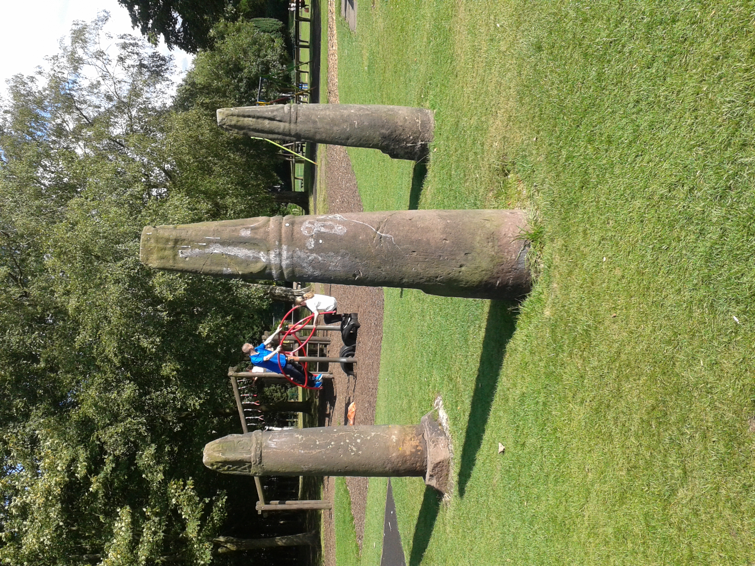
Crosses in West Park, Macclesfield.jpg - Dave.Dunford
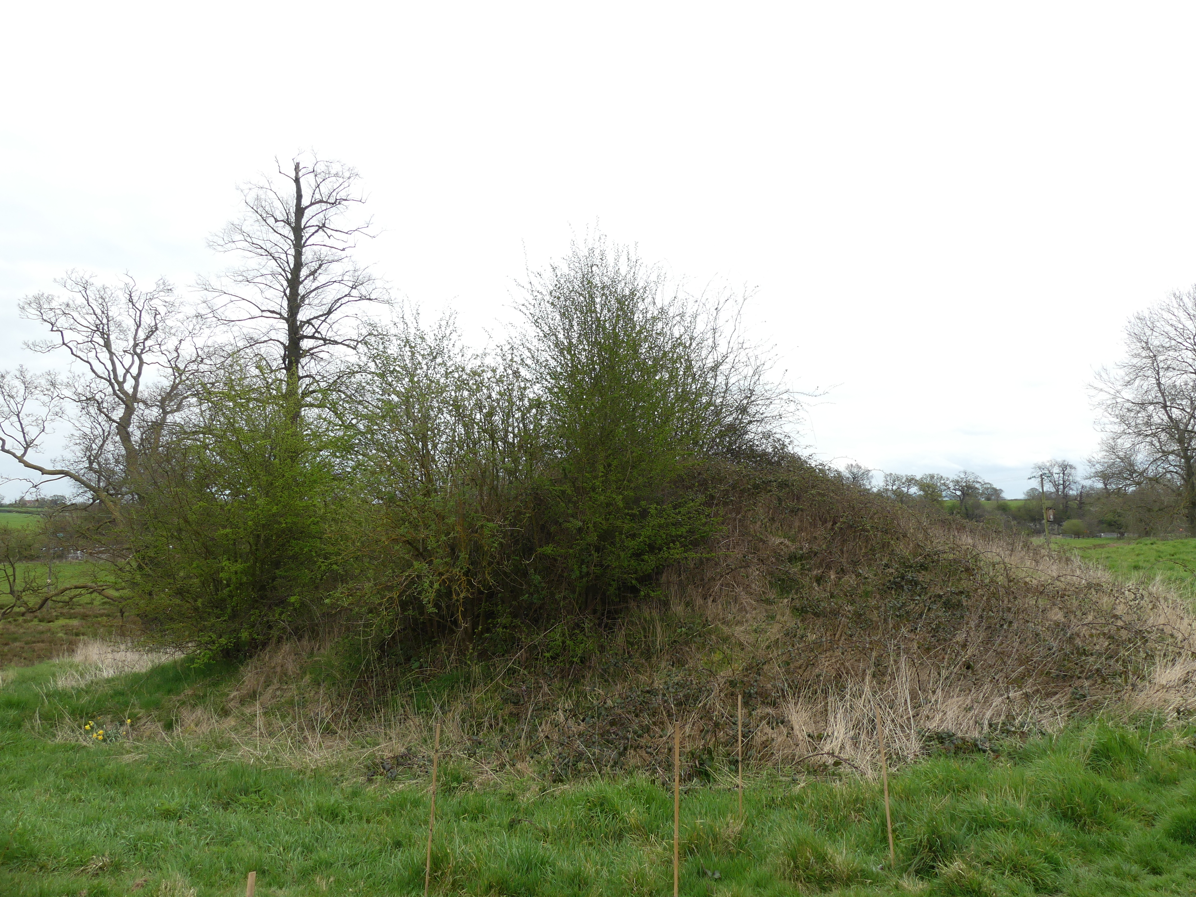
Moated site at Lea Hall 03.jpg - Dave.Dunford

Moated site at Lea Hall 02.jpg - Dave.Dunford

Moated site at Lea Hall 01.jpg - Dave.Dunford

Dodleston Castle.jpg - Dave.Dunford
Eccleston Motte 01.jpg - Dave.Dunford
Eccleston Motte 03.jpg - Dave.Dunford

Eccleston Motte 02.jpg - Dave.Dunford

Standing cross in Bruera churchyard.jpg - Dave.Dunford

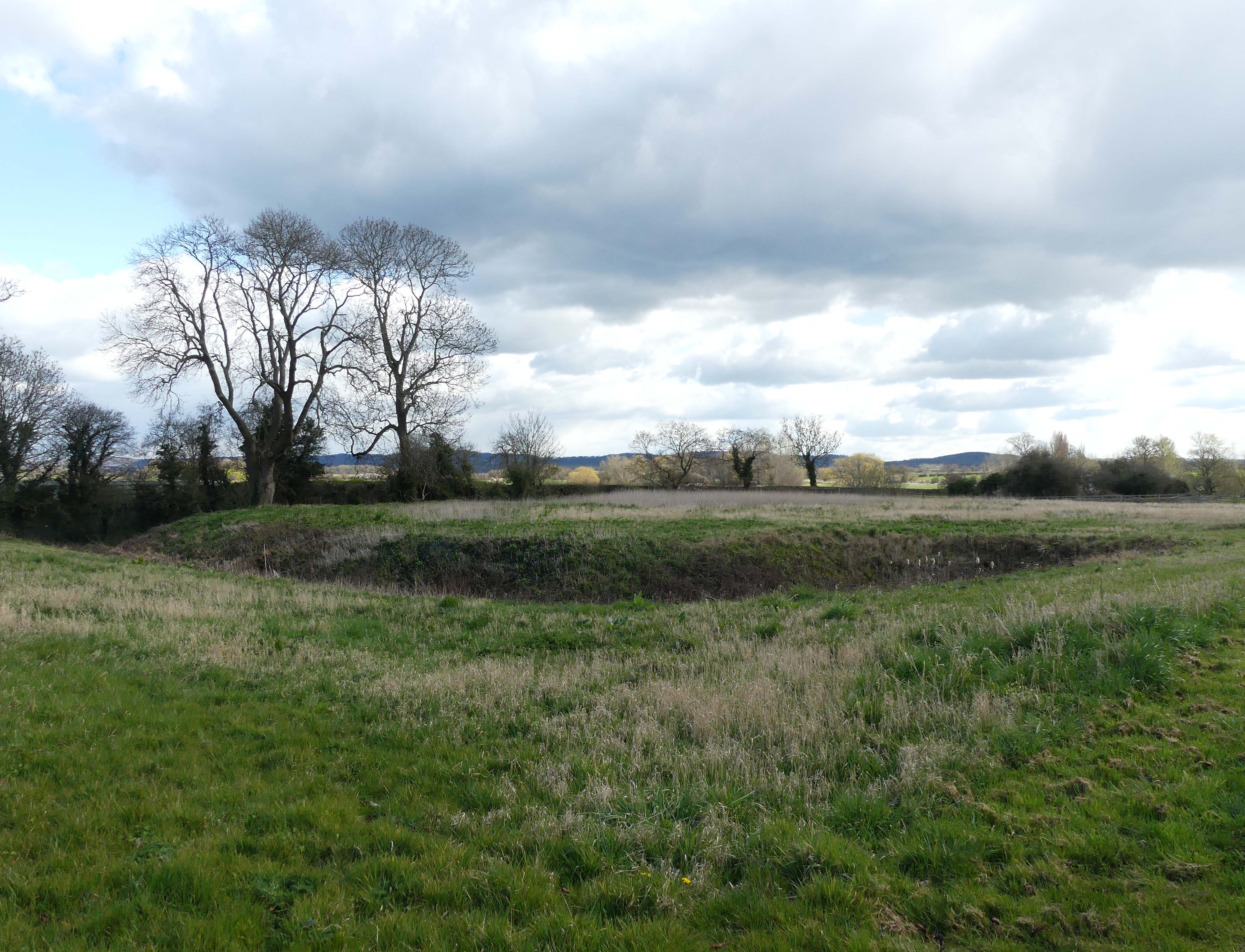
Remains of moat at Bruera.jpg - Dave.Dunford

Churchyard Cross, St Luke's Church - geograph.org.uk - 3422828.jpg - GeographBot

Hall Bank, Wybunbury 03.jpg - Dave.Dunford

Hall Bank, Wybunbury 01.jpg - Dave.Dunford

Hall Bank, Wybunbury 02.jpg - Dave.Dunford

Moated site in Wybunbury.jpg - Dave.Dunford

Standing cross at St Mary's, Sandbach.jpg - Dave.Dunford

The Great Merestone 03.jpg - Dave.Dunford
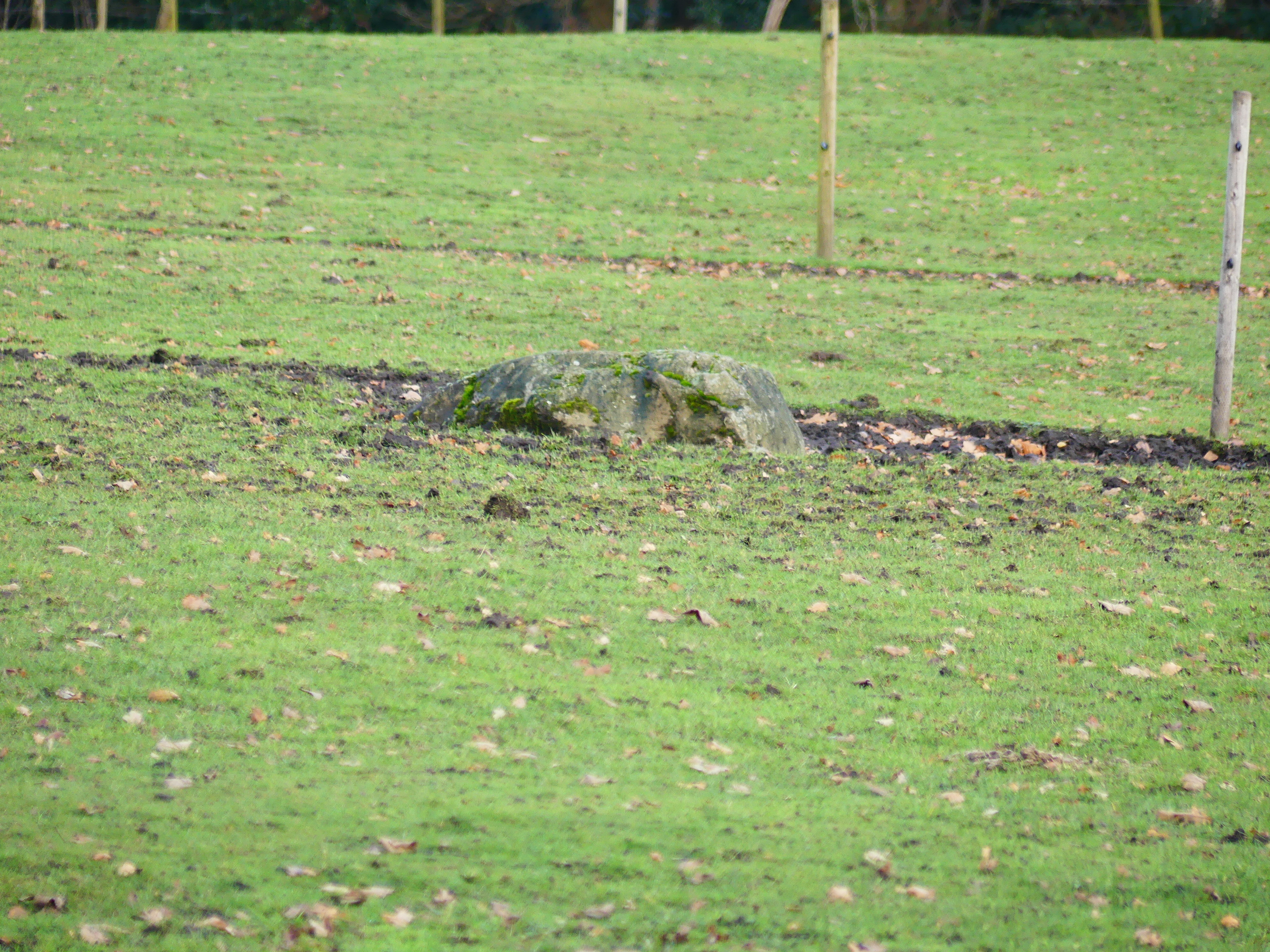
The Great Merestone 01.jpg - Dave.Dunford

The Great Merestone 02.jpg - Dave.Dunford
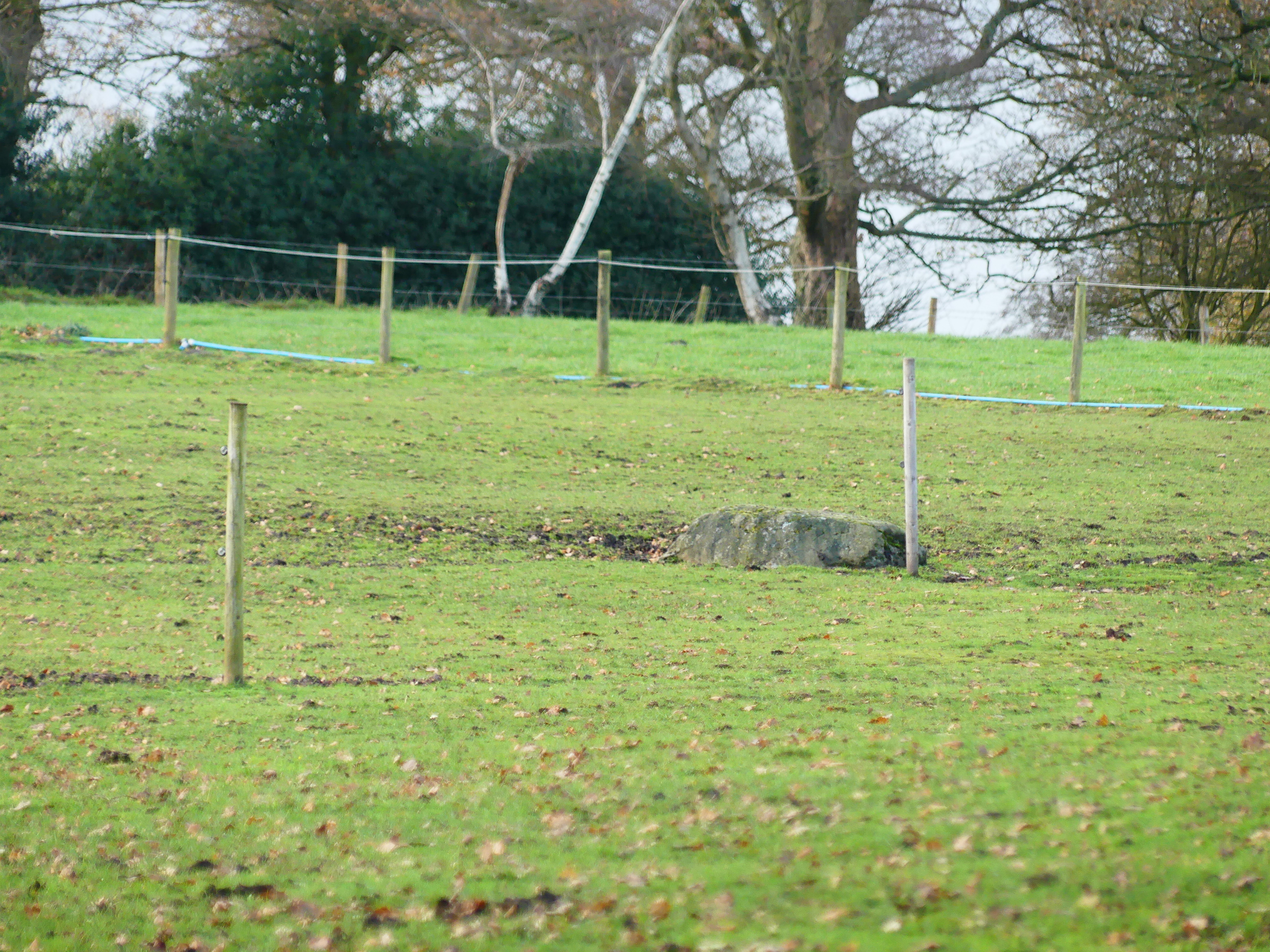
The Great Merestone 04.jpg - Dave.Dunford

Standing cross in Mobberley churchyard.jpg - Dave.Dunford

Remains of a moat at Bruera - geograph.org.uk - 4318589.jpg - GeographBot

New Manor Farm moated site 02.jpg - Dave.Dunford

New Manor Farm moated site 01.jpg - Dave.Dunford

New Manor Farm moated site 03.jpg - Dave.Dunford

Moated Enclosure, Acton, Nantwich - geograph.org.uk - 5604236.jpg - GeographBot

Round cairn near Sutton Hall.jpg - Dave.Dunford

Abbey Green, Chester.jpg - Dave.Dunford

Old Boundary Marker by Saddlebole, Nether Alderley Parish - geograph.org.uk - 6038604.jpg - GeographBot
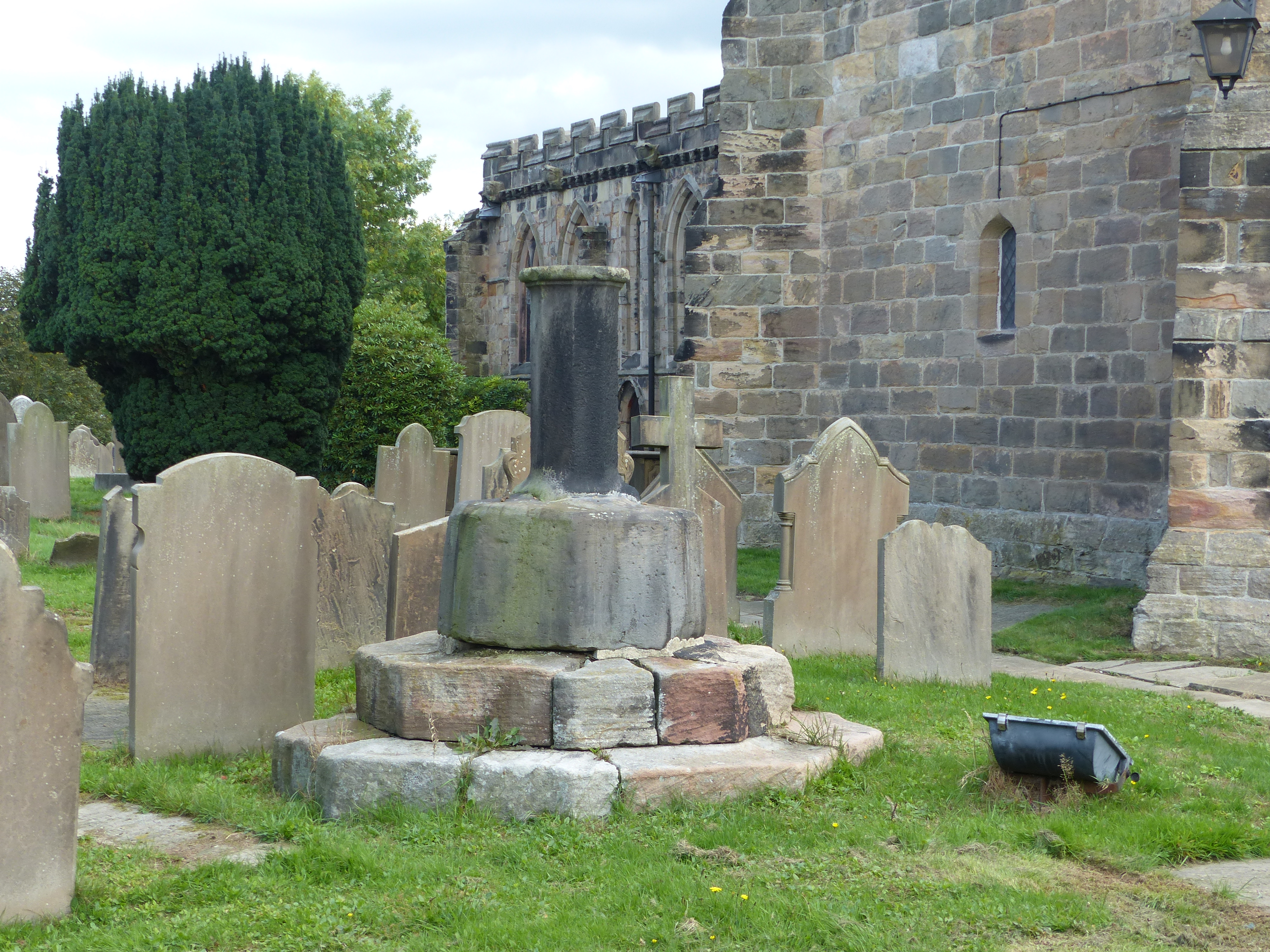
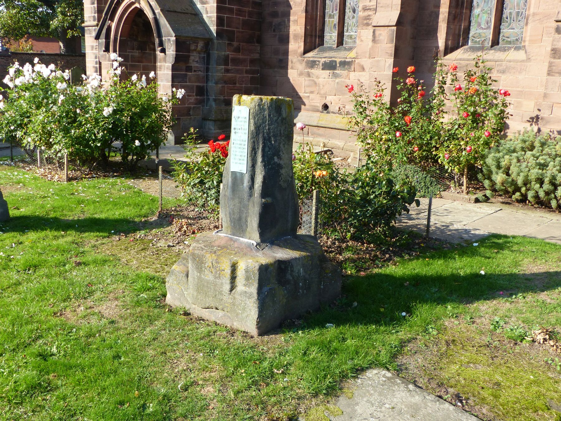
Cross base at St Mary's, Astbury.jpg - Dave.Dunford

Minshull Vernon moated site 02.jpg - Dave.Dunford

Minshull Vernon moated site 01.jpg - Dave.Dunford

Hulme Hall Moated Site 02.jpg - Dave.Dunford

Hulme Hall Moated Site 01.jpg - Dave.Dunford

Site of Marton moated monastic grange 02.jpg - Dave.Dunford

Site of Marton moated monastic grange 01.jpg - Dave.Dunford

Stone cross base, Marton near Whitegate.jpg - Dave.Dunford

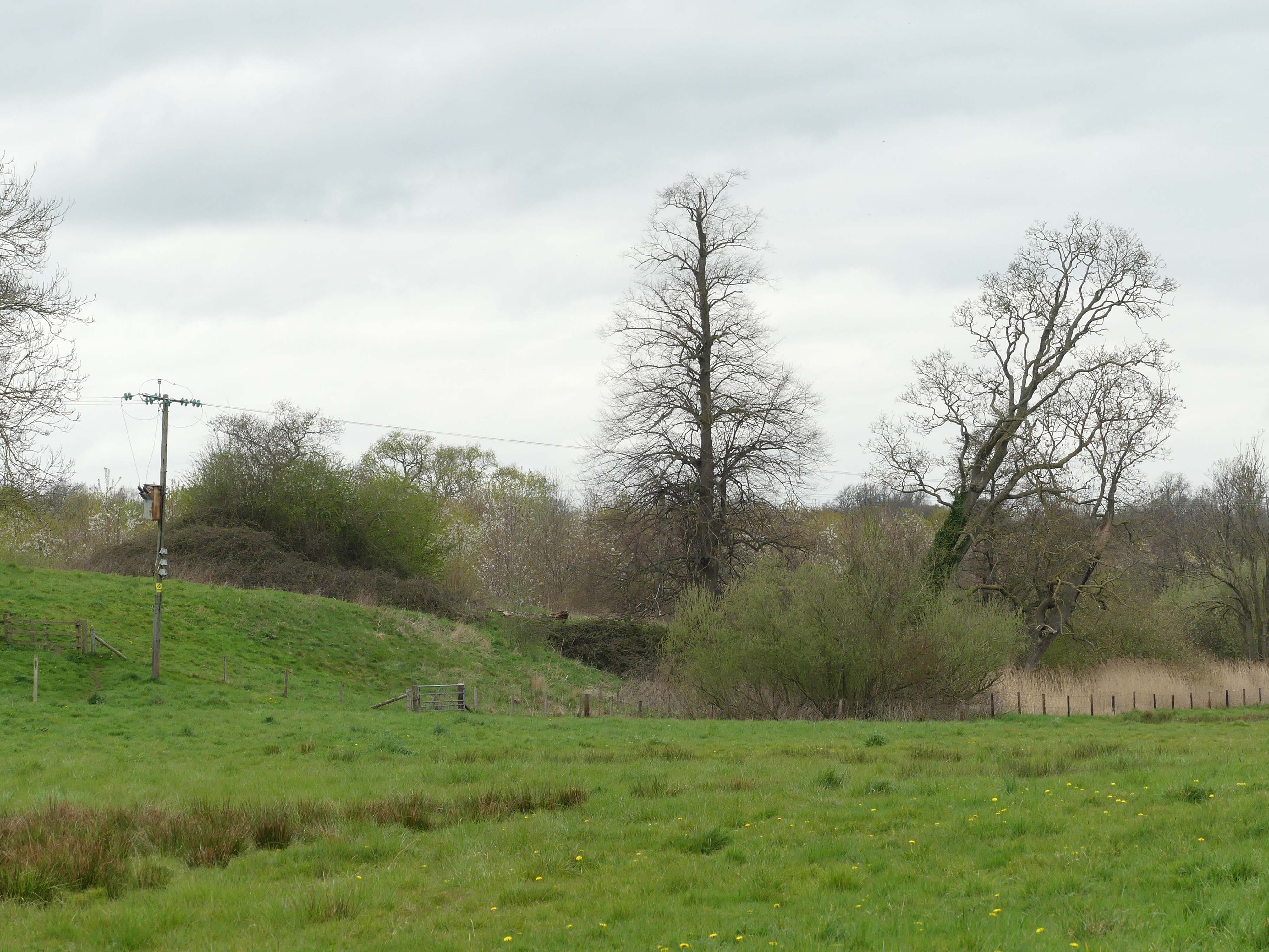
Site of Baddiley village 01.jpg - Dave.Dunford

Site of Baddiley village 02.jpg - Dave.Dunford